The 5 Most Amazing Peaks around Coverham With Agglethorpe
Best mountain peaks around Coverham With Agglethorpe are found within the Yorkshire Dales National Park, an area characterized by rolling hills and moorland. The region's elevated features, such as Penhill, offer panoramic views across Wensleydale and Coverdale. These locations provide a mix of natural beauty, historical landmarks like the Penhill Beacon, and varied walking routes. The landscape, shaped by glaciers, features distinctive geological formations and accessible public footpaths for exploration.
Best mountain peaks around Coverham With Agglethorpe
- The most popular…
Last updated: August 23, 2026
Grinton Moor Climb – Greets Moss Summit
Highlight (Segment) • Climb
Tip by

Penhill Crags and Beacon
Highlight (Segment) • Viewpoint
Tip by

Sign up now to discover places like this
Get recommendations on the best single tracks, peaks, & plenty of other exciting outdoor places.
Sign up for free
Height of Hazely Summit
Highlight • Viewpoint
Tip by
Rain Stang Trig Point
Highlight • Viewpoint
Tip by
Wasset Fell Summit and Cairns
Highlight • Viewpoint
Tip by
Sign up for free to discover even more peaks around Coverham With Agglethorpe.
Sign up for free
Already have an account?
Start today with a free account
Your next adventure awaits.
Login or Signup
Popular around Coverham With Agglethorpe

Tips from the Community


This is the summit of the climb from Wensley up past Castle Bolton, steep there and then the long long climb with 14% as the steepest...
0
0


It's Nidderdale, but it sure feels like you were in the actual Dales. The wind-swept, heather-surrounded summit (453m) gives fantastic views, particularly of Little Whernside, but look in any direction and you will be happy.
1
0
At 491m, Wasset Fell is an amazing summit: you're surrounded by a massive open space here, with heather practically everywhere you look. Pen-y-ghent to the south-west, Wensleydale to the north... amazing place, complete with the remains of mine buildings, which make you feel like you're the only person in the world here.
1
0
Height of Hazely is a flat top on Carlton Moor. On different maps the actual height of it differs (e.g. 550m or 553m); this is probably because it's difficult to establish, because of how flat it is, where the actual top is! Grassy, "British-desolate" and can be wet after or in rain, so make sure your boots are up for the job! It can be difficult to walk here, so if you're not walking in dry summer conditions, some hiking experience of walking across moorland is recommended. Tremendous views from high above of the area. Enjoy!
1
0
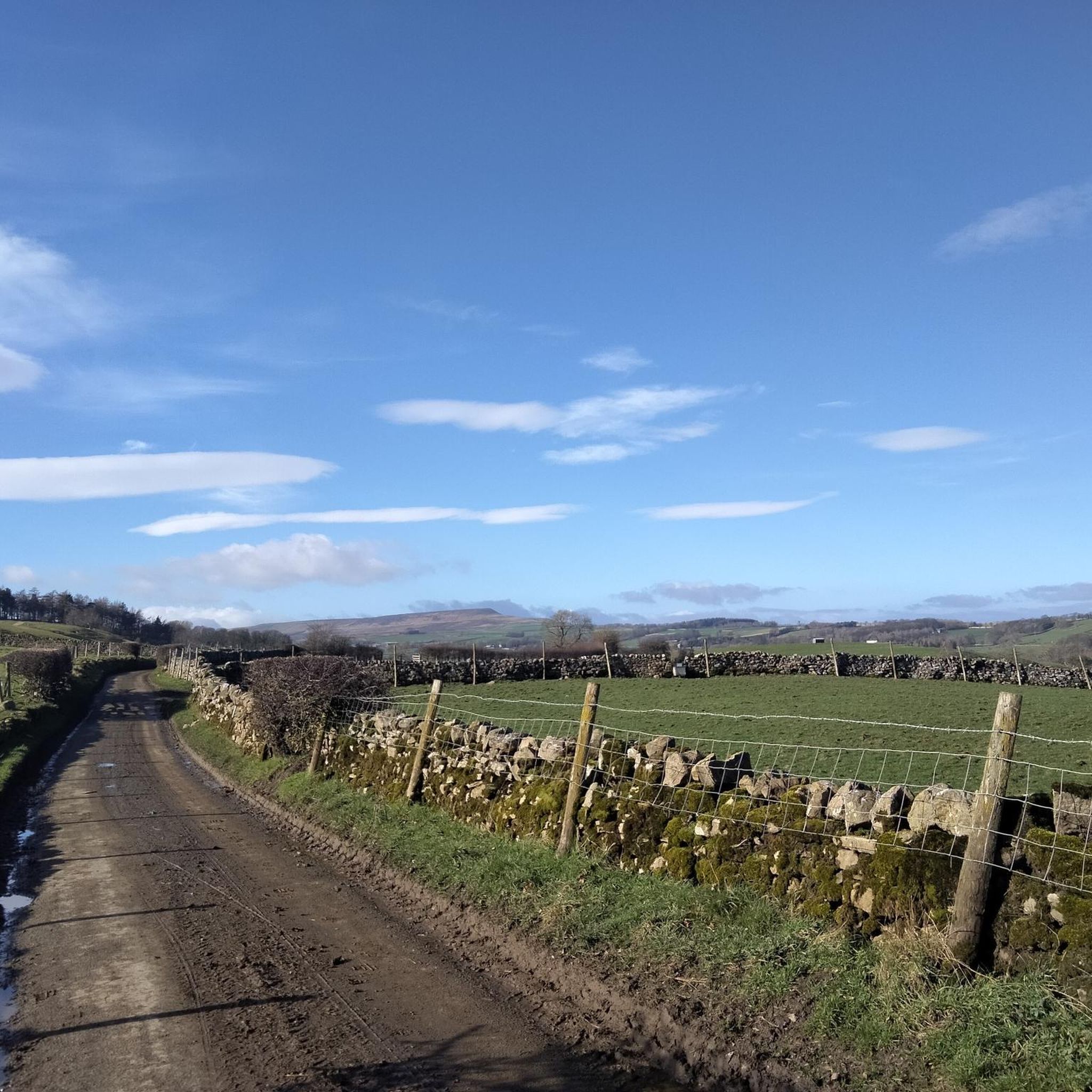
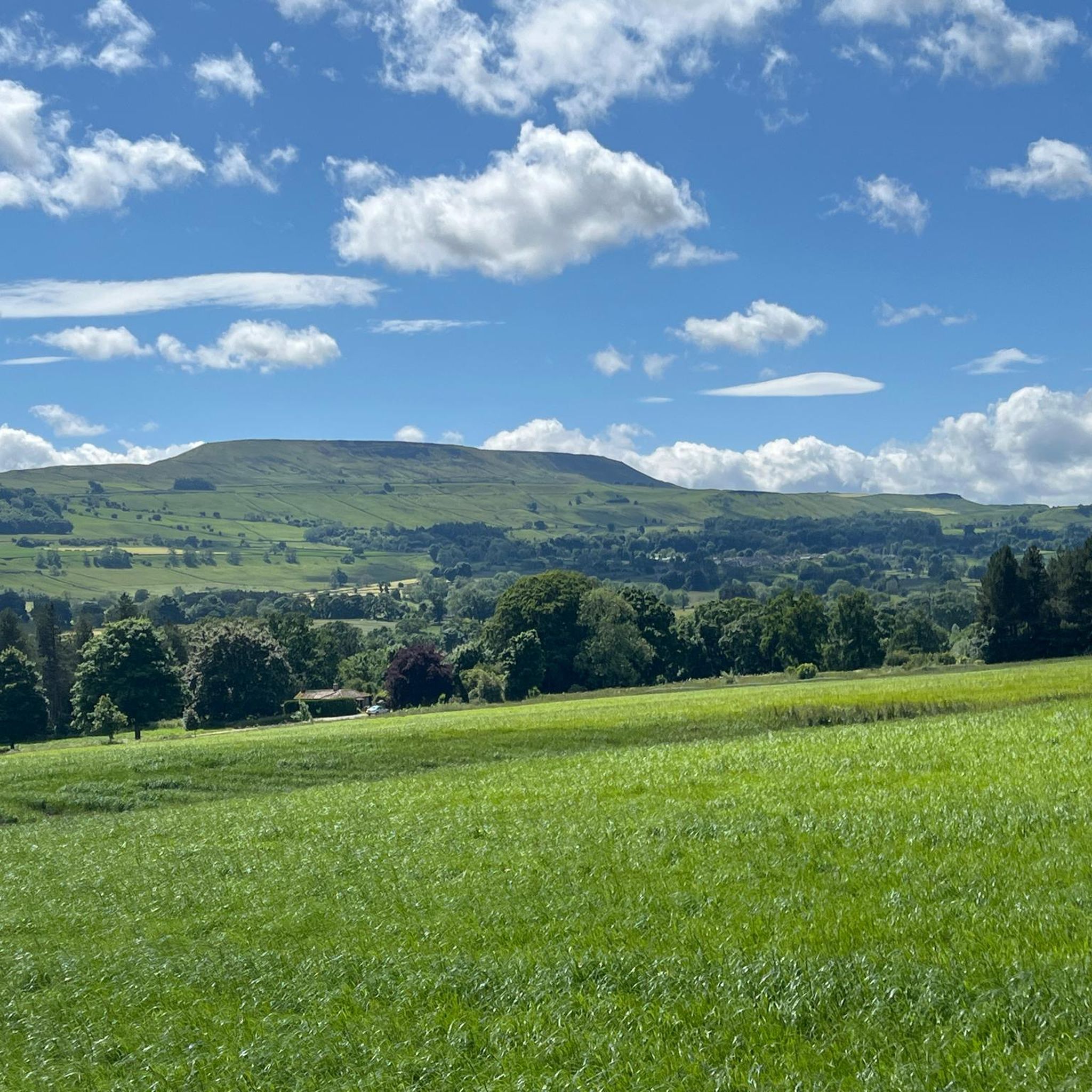
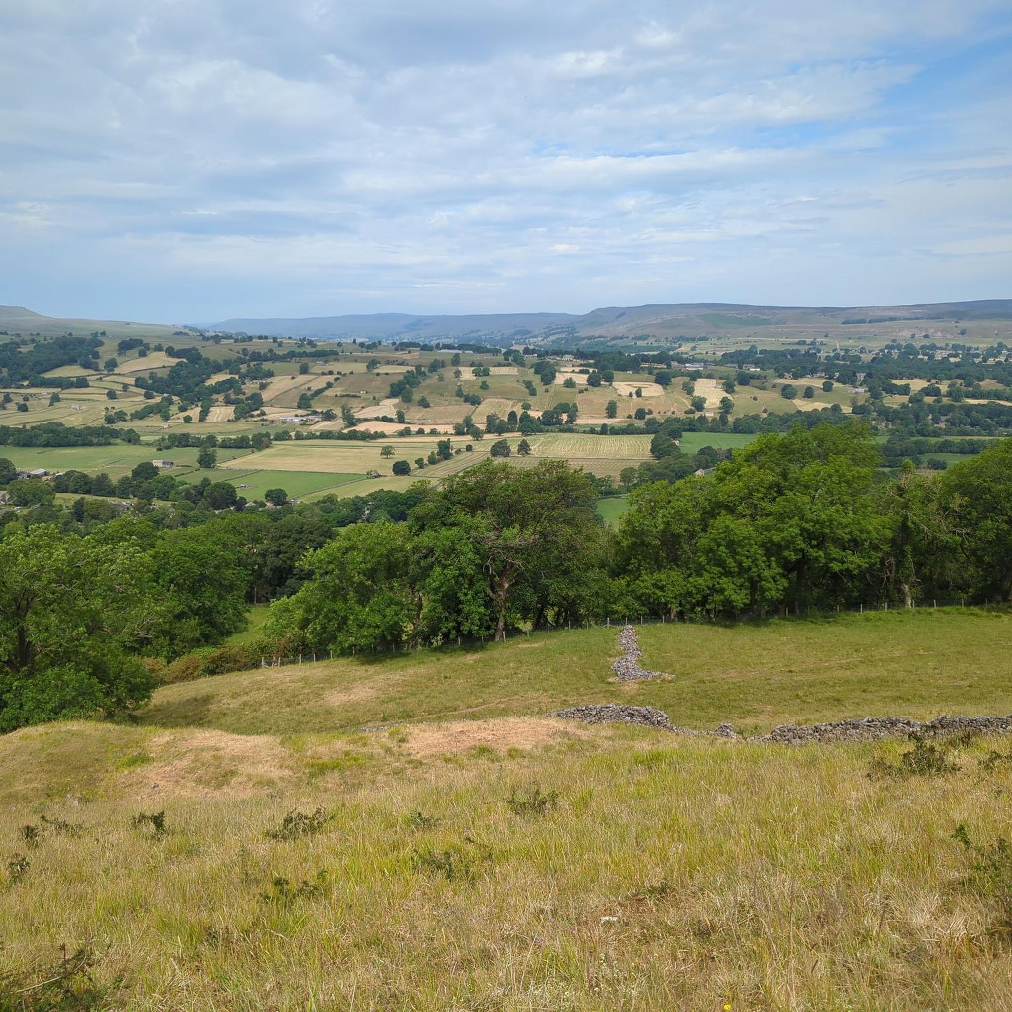
Penhill Crags are a joy to walk, with slightly shocking (beautiful!) views from up here of the valleys down below. There is a trig point here (526m), Penhill Beacon, and a rather curious stone structure towards the eastern end of this stretch. An absolutely stunning place to be.
1
0

Nice climb. Steady and never too steep. Great views from the top.
0
0
Frequently Asked Questions
What is the most prominent elevated feature in the Coverham With Agglethorpe area?
While the region features many rolling hills and moorland ascents, Penhill stands out as the most prominent and notable elevated feature. It offers stunning panoramic views across Wensleydale and Coverdale.
What historical landmarks can be found on Penhill?
Penhill is home to several historical landmarks. You can find the Penhill Beacon, an Elizabethan-era mound once part of a signal network, and the remains of Penhill Preceptory, established around 1200 by the Knights Templar, which includes chapel foundations and carved coffins. You can explore Penhill Crags and Beacon for beautiful views and to see these historic sites.
Are there challenging climbs for experienced hikers or cyclists?
Yes, for those seeking a challenge, the Grinton Moor Climb – Greets Moss Summit is a notable option. It's a scenic ascent with steep sections, particularly in its first half, offering 'endless sky' photo opportunities. Cyclists often tackle this route, and there's a pub in Grinton for a break before or after the climb.
What are some of the best viewpoints in the area?
The region is known for its scenic viewpoints. Besides Penhill, you can enjoy tremendous views from the Height of Hazely Summit on Carlton Moor. Another great spot is Wasset Fell Summit and Cairns, which provides expansive views of Wensleydale and even Pen-y-ghent on clear days. The Rain Stang Trig Point also offers fantastic views, particularly of Little Whernside.
What kind of geological features can I expect to see?
The landscape around Coverham With Agglethorpe, including Penhill, was significantly shaped by glaciers during the last Ice Age. This has resulted in distinctive geological formations, such as Penhill's concave, U-shaped form. The summit plateaus often feature small tarns (tiny lakes or ponds) on the peaty moorland.
Are there accessible walking routes for different ability levels?
Yes, Penhill, for example, offers accessible walking routes. You can explore it via public footpaths from villages like West Witton or by a bridleway from a minor road between West Witton and Melmerby. Routes vary in difficulty, from gentle strolls to more demanding hill climbs, catering to different ability levels. For an easy circular walk, consider the Penhill Summit loop from Melmerby.
What should I know about hiking the Height of Hazely Summit?
The Height of Hazely Summit is a flat top on Carlton Moor, reaching approximately 553 meters. It offers tremendous views, but the grassy, moorland terrain can be wet after rain. If you're not visiting in dry summer conditions, some hiking experience of walking across moorland is recommended, and ensure your boots are suitable for potentially wet ground. A moderate circular route is the Heights of Hazely and Carlton Motte loop from Middleham Peat Road.
What outdoor activities can I do near these mountain peaks?
Beyond hiking the peaks themselves, the area offers a variety of outdoor activities. You can find numerous road cycling routes, such as the Oxnop to Crow Trees Descent – Grinton Moor loop from Middleham. Gravel biking is also popular, with routes like the Greets Hill – View Over Swaledale loop from Leyburn. For more hiking options, explore the hiking guide for Coverham With Agglethorpe.
What do visitors enjoy most about the mountain peaks around Coverham With Agglethorpe?
Visitors frequently highlight the breathtaking panoramic views, often describing them as 'endless sky' experiences. The sense of open space, especially on summits like Wasset Fell, is highly appreciated. The combination of natural beauty with historical elements, such as the Penhill Beacon and Knights Templar remains, also adds a unique appeal. Many enjoy the challenging climbs and the rewarding vistas from the top.
Are there any specific tips for cycling the Grinton Moor Climb?
The Grinton Moor Climb – Greets Moss Summit is a memorable cycling route. It starts with steep climbing, particularly in the first half, leading to a cattle grid. After this, the road continues to climb to another cattle grid near the summit. Be aware that you'll often be surrounded by sheep. The descent to Redmire is quick with a few twists and turns. There's a pub in Grinton where you can refuel before or after your ride.
What is the best time to visit the peaks in this region?
While the peaks can be enjoyed year-round, visiting during drier conditions is often recommended, especially for moorland ascents. Summits like the Height of Hazely Summit can be quite wet after rain, making the walk more challenging. Clear days offer the best opportunity to experience the extensive panoramic views across the Dales.
Most popular routes around Coverham With Agglethorpe
Most popular attractions around Coverham With Agglethorpe

Get inspired with the komoot mobile app


Explore more
See even more amazing summits around Coverham With Agglethorpe with these guides:
