The 7 Most Amazing Peaks around Farnley
Best mountain peaks around Farnley are found within the broader West Yorkshire region, an area characterized by the Pennines and their foothills. Farnley itself is a suburb of Leeds, situated in a landscape that transitions from urban to rolling countryside. The region offers elevated areas like Farnley Moor, which stands at 286 meters and is included in databases of England's highest mountains. These locations provide opportunities for walking and experiencing open moorland environments with expansive views.
Best mountain peaks around…
Last updated: June 30, 2026
Rombalds Moor Trig Point
Highlight • Natural Monument
Tip by

Lippersley Pike summit cairn
Highlight • Natural Monument
Tip by

Sign up now to discover places like this
Get recommendations on the best single tracks, peaks, & plenty of other exciting outdoor places.
Sign up for free
Rawdon Trig Point
Highlight • Natural Monument
Tip by

Baildon Moor Trig Point
Highlight • Summit
Tip by

Round Hill Summit – Nidderdale National Landscape
Highlight • Viewpoint
Tip by

Sign up for free to discover even more peaks around Farnley.
Sign up for free
Already have an account?
Start today with a free account
Your next adventure awaits.
Login or Signup
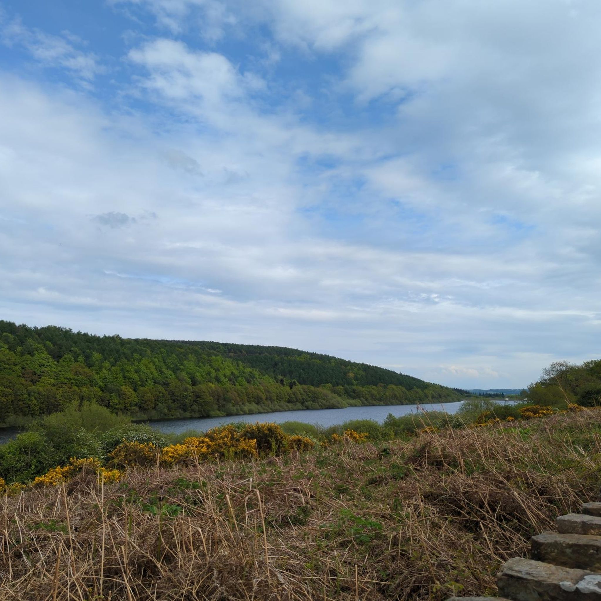
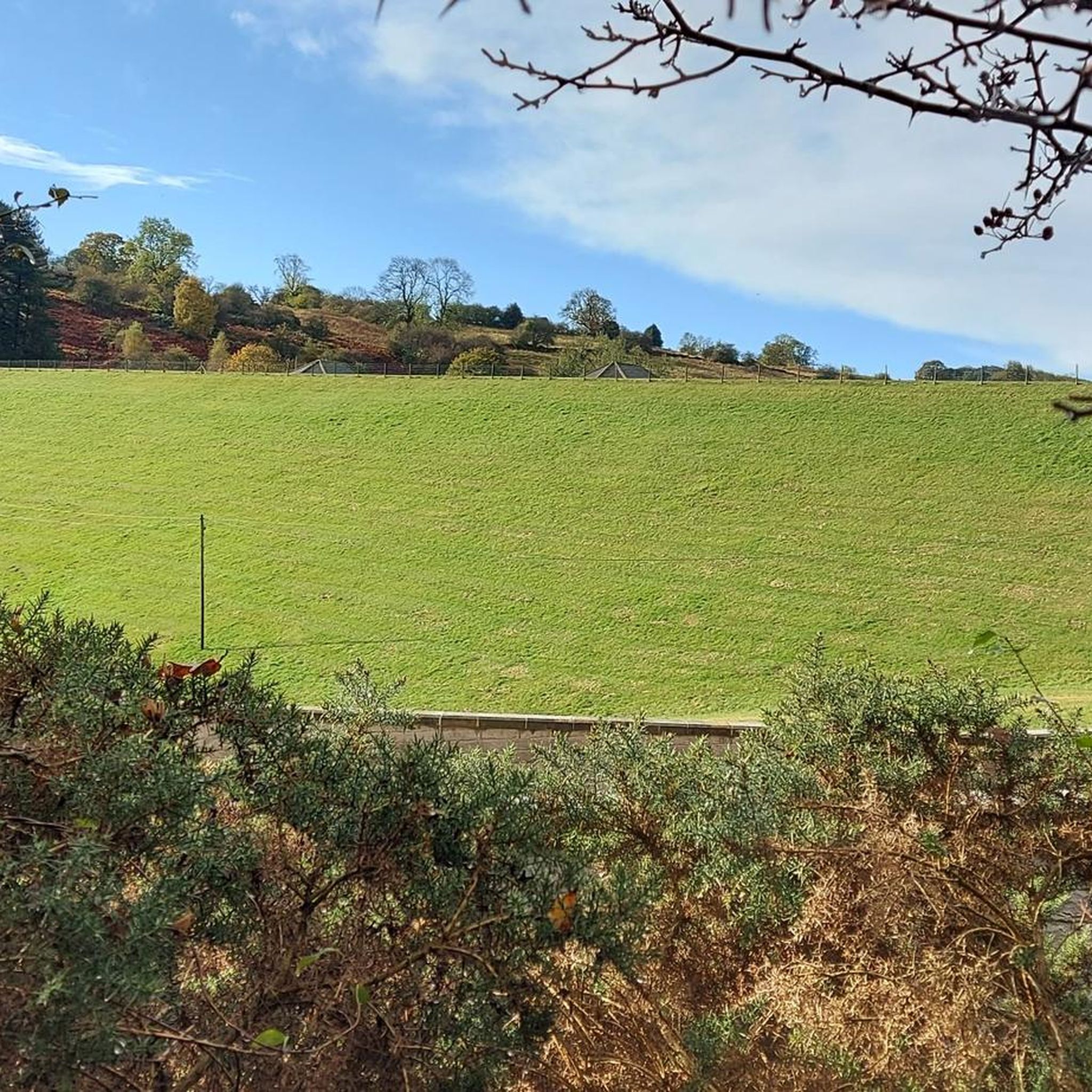
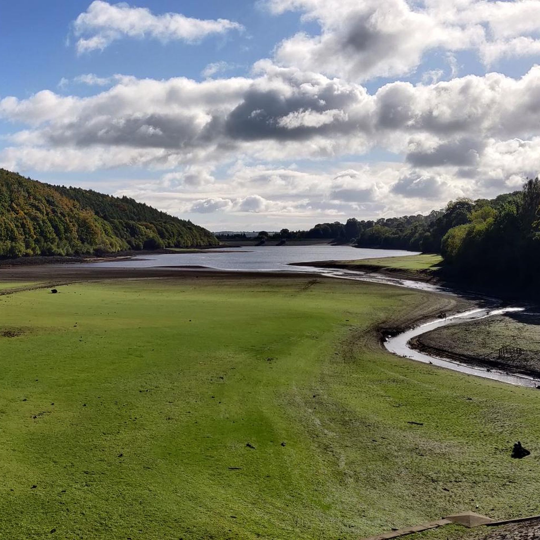
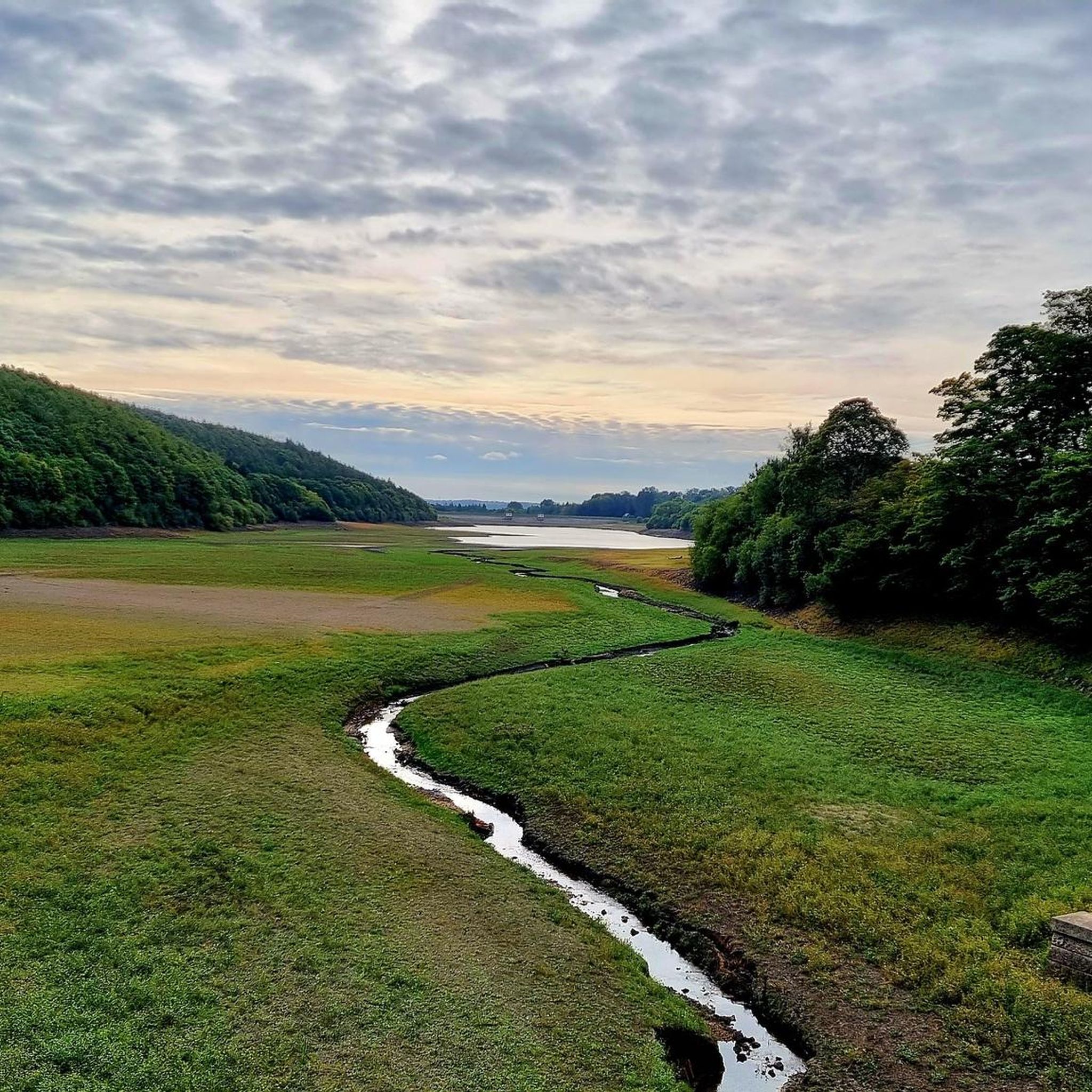
Tips from the Community

TP0704 - Rombalds Moor | Trig Point | TrigpointingUK | TrigpointingUK https://share.google/qPFuy1NH8qQMdF9tm
0
0

Part of the newly formed Pennine Gateway National Nature Reserve. The very top of what most people would refer to as Ilkley Moor. Some say this is where the ducks play football as per the Yorkshire Anthem ‘On Ilkla Moor Baht At’. There is also a theory that Rombald was a giant and the nearby cow and calf rocks were as a result of the giant throwing rocks around! Then to get more weird there apparently a UFO sighting up here too so be warned. Stay safe.
0
0

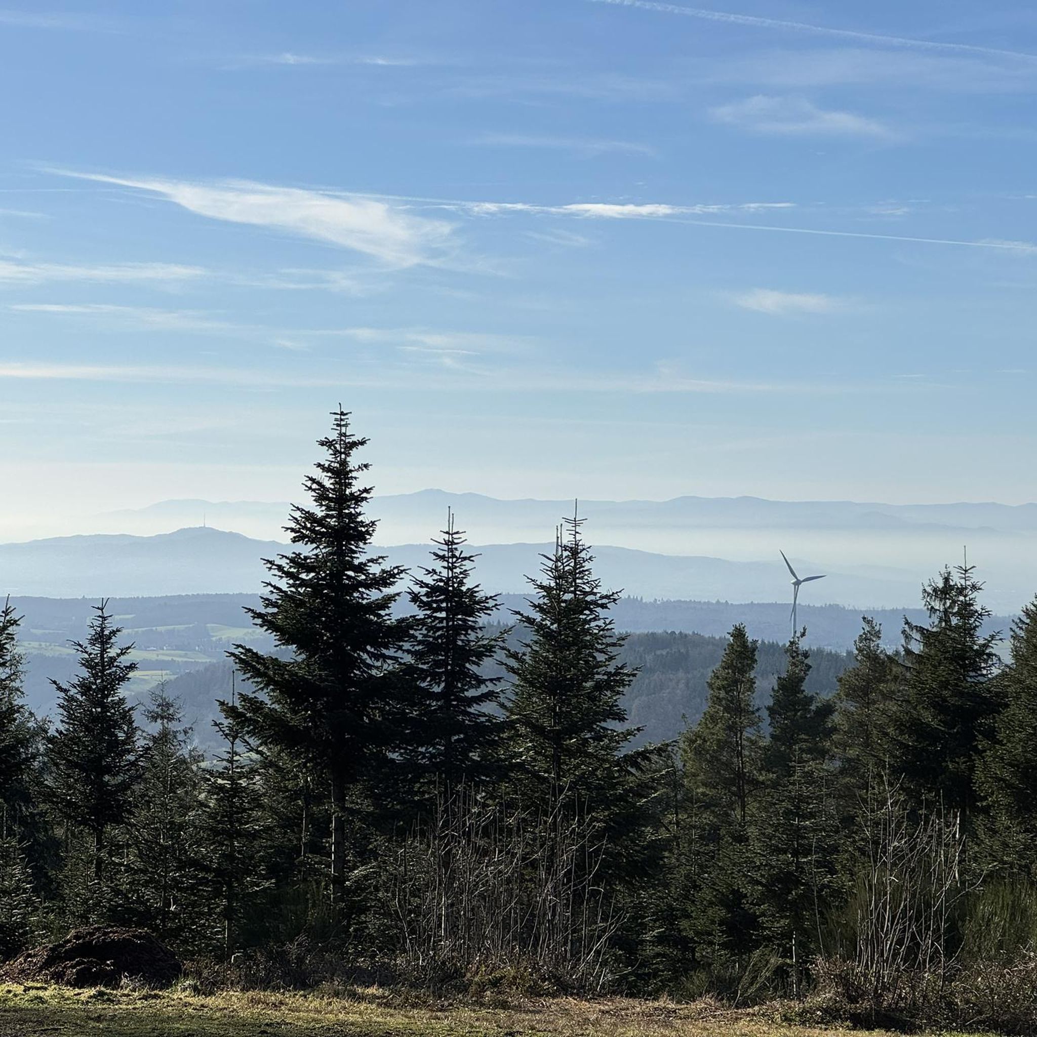
Another great summit for excellent views
0
0
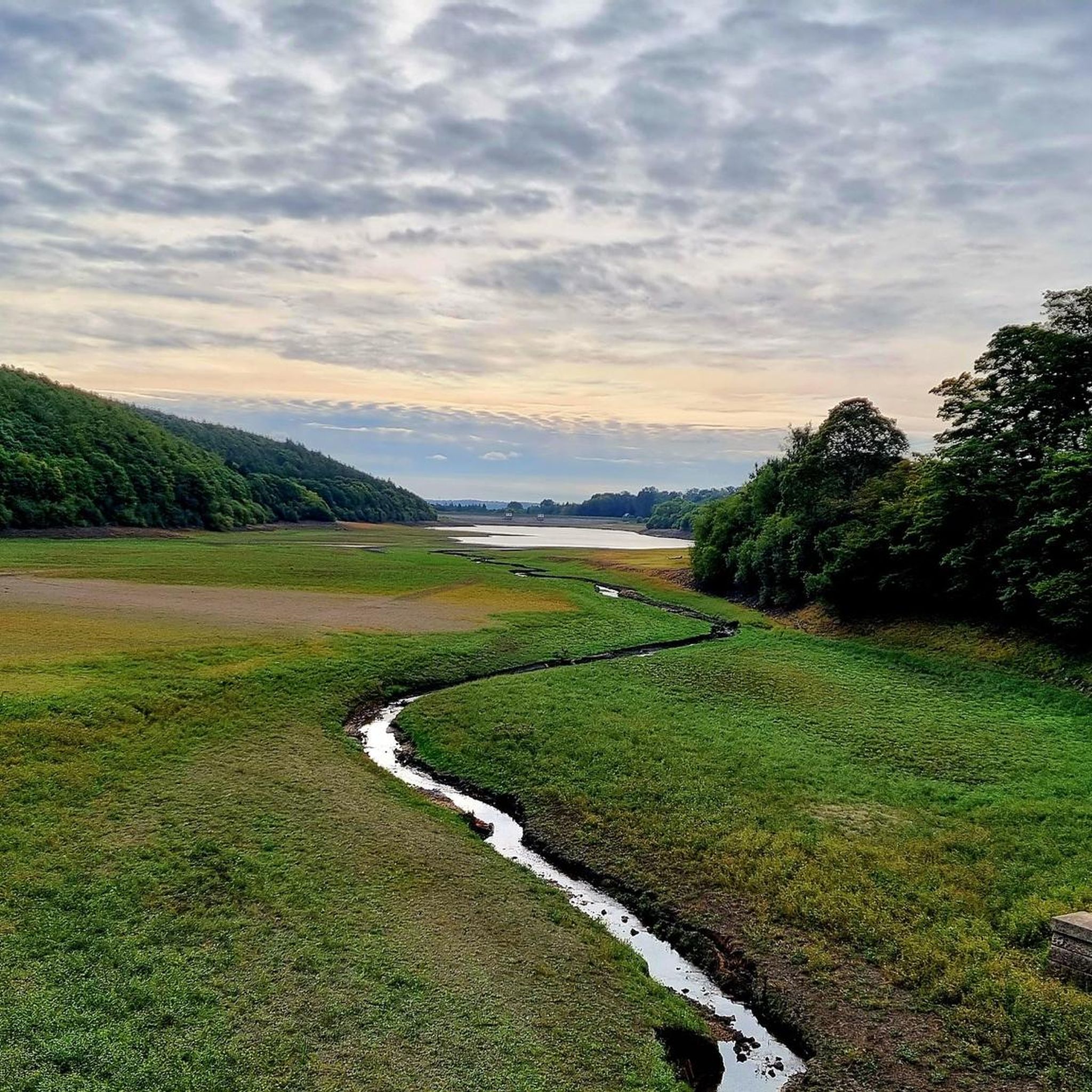
Some stunning views here overlooking the morrs and down to Denton
0
0

Views of Leeds City Centre 10 miles away - can zoom in on your camera and get a really good look!
0
0


Sometimes a visit to a smaller hilltop offers a more enjoyable view than trekking up a mountain. That’s the case with this trig point near Billing Hill, where you’re treated to beautiful views over the area's surrounding farmland and woodland.
2
0

A couple of benches here to relax and enjoy the spectacular views.
0
0
Frequently Asked Questions
What are some of the most notable elevated points and peaks around Farnley?
The region around Farnley, particularly within the broader West Yorkshire area, features several significant elevated points. These include Rombalds Moor Trig Point, which is the highest point on Ilkley Moor at 402 meters. Other notable spots are Rawdon Trig Point, offering views over farmland and woodland, and Lippersley Pike summit cairn, known for its substantial cairn and views of surrounding moors.
What kind of scenic views can I expect from the peaks around Farnley?
The elevated points around Farnley offer diverse and expansive views. From Rombalds Moor Trig Point, you can see up Wharfedale to Great Whernside and across the urban areas of Leeds and Bradford. Rawdon Trig Point provides beautiful vistas over local farmland and the Airedale valley. Lippersley Pike summit cairn offers views of Denton Moor, Blubberhouses Moor, and Askwith Moor. You can even spot Leeds City Centre from Baildon Moor Trig Point.
Are there any historical sites among the peaks near Farnley?
Yes, some elevated points around Farnley have historical significance. For instance, Lippersley Pike summit cairn is not only a natural monument but also a historical site, featuring a substantial cairn and nearby boundary stones dating back to 1757, offering a glimpse into the area's past.
Are the mountain peaks around Farnley suitable for families?
While specific family-friendly ratings for individual peaks aren't detailed, the region offers a mix of terrain. Many of the elevated points are accessible via moorland paths, which can be suitable for families depending on the length and difficulty of the chosen route. For easier walks, consider exploring the nearby easy hikes around Farnley, which often include less strenuous paths.
What outdoor activities, besides hiking, can I do near Farnley's peaks?
Beyond hiking, the area around Farnley offers opportunities for other outdoor activities. You can find various routes for gravel biking, with options ranging from moderate to difficult, such as those listed in the gravel biking guide around Farnley. Running trails are also popular, with routes like the Chevin Forest Park loop or the Grove Hill Park loop detailed in the running trails guide around Farnley.
What are the options for easy hikes near Farnley's elevated areas?
For those seeking easier walks, the region provides several options. You can explore routes like the Lindley Wood Reservoir loop or the Otley Bridge loop, which are categorized as easy. More details on these and other accessible paths can be found in the easy hikes around Farnley guide.
Can I find more challenging hiking routes in the Farnley area?
Yes, for more advanced hikers, the broader West Yorkshire region, including areas like Ilkley Moor where Rombalds Moor Trig Point is located, offers more challenging moorland hikes. These routes often involve longer distances and varied terrain characteristic of the Pennines. The gravel biking guide also lists some difficult routes that can be adapted for challenging hikes.
What do visitors particularly enjoy about the peaks around Farnley?
Visitors frequently enjoy the expansive views and the sense of achievement from reaching the summits. For example, the breathtaking views up Wharfedale from Rombalds Moor Trig Point are highly praised. The substantial cairn at Lippersley Pike summit cairn and the beautiful views over farmland from Rawdon Trig Point are also popular highlights. The komoot community has contributed 133 upvotes and 49 photos, indicating a strong appreciation for these elevated areas.
What is the best time of year to hike the peaks around Farnley?
The best time to hike the peaks around Farnley, like much of the South Pennines, is generally during the spring, summer, and early autumn months (April to October). During these periods, the weather is typically milder, and the moorland paths are less likely to be waterlogged or covered in snow, offering more pleasant hiking conditions and clearer views.
What should I wear for mountain hiking in the Farnley area?
When hiking the elevated areas around Farnley, it's advisable to wear appropriate outdoor clothing. This includes sturdy hiking boots or trail shoes, as recommended for places like Rawdon Trig Point. Layered clothing is best to adapt to changing weather conditions, and waterproofs are recommended due to the unpredictable nature of British weather, especially on exposed moorland.
Are there any circular routes available for exploring the Farnley mountain area?
Yes, many of the hiking and biking routes in the broader Farnley area are designed as circular paths, allowing you to start and end at the same point. For example, the easy hikes around Farnley guide includes several circular loops, such as the Lindley Wood Reservoir loop. These routes are ideal for day trips, offering varied scenery without retracing your steps.
Are there dog-friendly options for walks around Farnley's peaks?
Many of the moorland and countryside paths around Farnley are suitable for dog walking. Areas like Farnley Moor and the broader Pennine foothills offer open terrain where dogs can enjoy walks. However, always keep dogs under control, especially near livestock or ground-nesting birds, and be mindful of local signage regarding lead requirements.
Most popular attractions around Farnley

Get inspired with the komoot mobile app


Explore more
See even more amazing summits around Farnley with these guides:
