The best cycling routes around Königswiesen
4.8
(77)
771
riders
67
rides
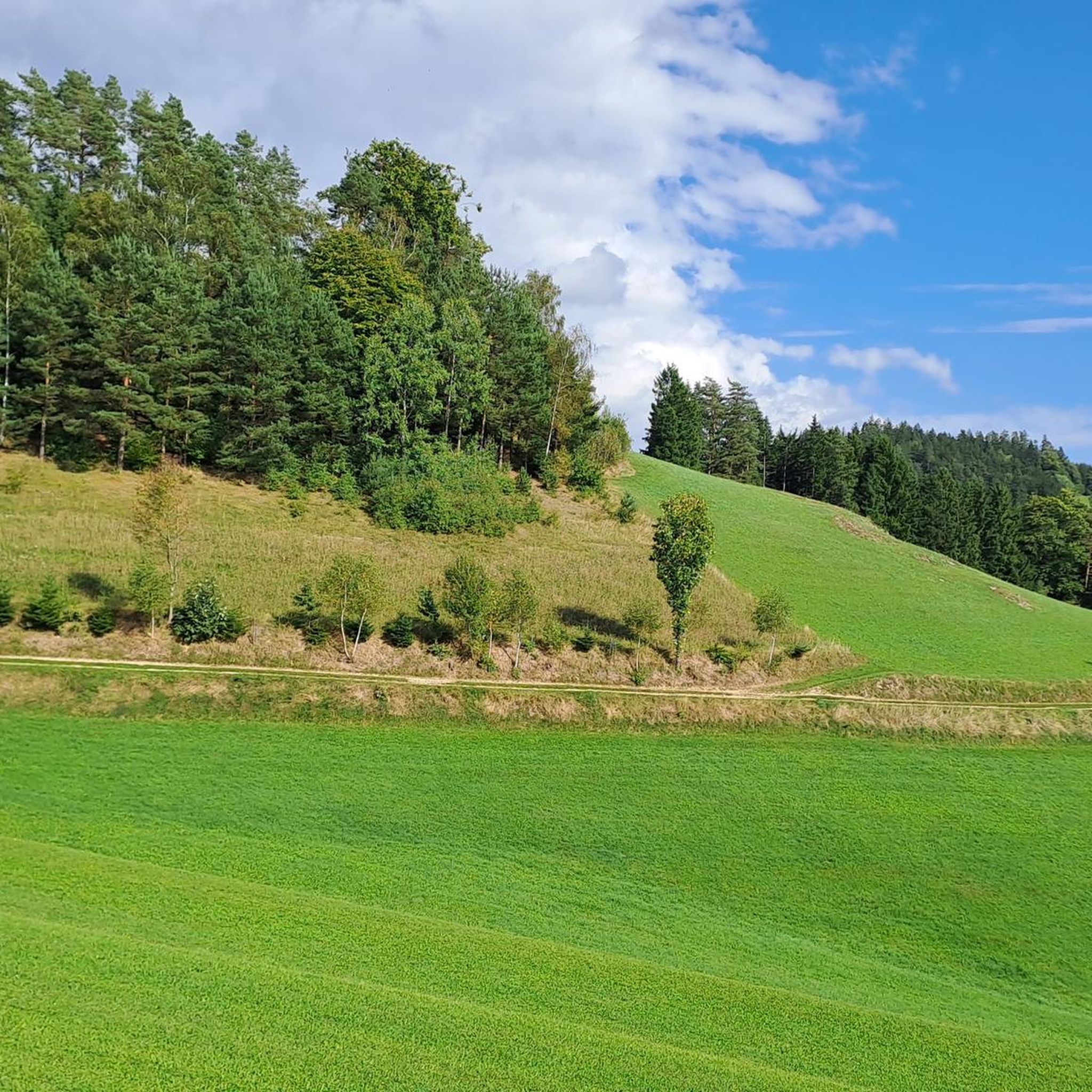
Touring cycling routes around Königswiesen traverse a diverse landscape characterized by a mysterious granite highland north of the Danube. This region features impressive granite formations and deeply furrowed valleys, offering varied terrain for cyclists. The area is predominantly hilly, providing both challenging ascents and scenic descents. Well-maintained cycle paths, including sections of the Mühlviertel Cycle Path (R5), connect these natural features.
Best touring cycling routes around Königswiesen
- The most popular touring cycling route is Hügelwelt „Panorama Nord“ – Oberösterreich,…
Last updated: May 16, 2026
4.5
(20)
83
riders
53.6km
04:00
910m
910m
Hard bike ride. Very good fitness required. Mostly paved surfaces. Suitable for all skill levels.
5.0
(2)
19
riders
45.4km
03:30
880m
880m
Hard bike ride. Very good fitness required. Mostly paved surfaces. Suitable for all skill levels.

Sign up for free
5.0
(4)
31
riders
Hard bike ride. Very good fitness required. You may need to push your bike for some segments of this route.
4.8
(4)
26
riders
34.9km
02:27
540m
540m
Hard bike ride. Very good fitness required. Mostly paved surfaces. Suitable for all skill levels.
29
riders
34.7km
02:59
930m
930m
Hard bike ride. Very good fitness required. Mostly paved surfaces. Suitable for all skill levels.
Get access to more routes and recommendations from other explorers.
Sign up for free
Already have an account?
Our route recommendations are based on thousands of hikes, rides, and runs completed by other people on komoot.
Start today with a free account
Your next adventure awaits.
Login or Signup
Other adventures around Königswiesen

Tips from the Community

Arbesbach Castle is a top highlight that you should definitely plan a visit to. Even from a distance, you can recognize the so-called "Waldviertel's fang" (Stockzahn des Waldviertels). Once you arrive at the site, 126 steps lead up to the entrance where admission (currently €2.50) is payable in coins or by card. Then it continues inside upwards to the platform, which offers a fantastic view. There is also a circular path around the tower, which however requires some surefootedness and suitable shoes.
0
0

The village was first mentioned in 1246 and was originally owned by the Kuenring line of Weitra-Rappottenstein. In 1282, the estate passed to the Lords of Falkenberg, and in 1291 to Ulrich von Kapelln. In the 14th century, Arbesbach is mentioned as a freehold property. From 1326 to 1348, it was owned by the Lords of Klingenberg, who in 1347 mortgaged "the castle and the house at Arbesbach" to Weikart and Katharina von Winkl. From 1348, Arbesbach was owned by the Lords of Dachsberg, and from 1423 by the Lords of Starhemberg. In 1480, the castle was destroyed by a Bohemian raiding party and was not rebuilt. In 1600, the estate passed to the Lords of Tschernembl, and in 1604 to Georg Fenzl von... Grueb and as early as 1605 to Georg Kaspar von Neuhaus. From 1614 owned by the Lords von Hackelberg, from 1675 to 1862 by the Countess Dietrichstein. Afterwards, it passed to the Herberstein, Geusau, and Baron Holtz families, and from 1877 onwards to the Altzinger family, who still own the estate today and reside in part of the castle complex. Text by G.R., K.Ki.
2
0

Mötlas freight road: asphalt, little traffic;
0
0


You'll find a coffee machine, chilled drinks, and granola bars here. A very well-maintained rest stop awaits you.
0
0

Frequently Asked Questions
How many touring cycling routes are available around Königswiesen?
There are over 65 touring cycling routes around Königswiesen, offering a wide range of options for different skill levels and preferences. The majority of these, about 50, are classified as difficult, while around 14 are moderate.
What is the terrain like for touring cycling in Königswiesen?
The terrain around Königswiesen is characterized by a "mysterious and mystical granite landscape" north of the Danube. It features impressive granite formations and deeply furrowed valleys, making the area predominantly hilly. Cyclists can expect both challenging ascents and scenic descents through this unique natural environment.
Are there routes suitable for beginners or less experienced touring cyclists?
While many routes in Königswiesen are classified as difficult, there are around 14 moderate touring cycling routes available. These routes offer a less strenuous experience while still allowing you to enjoy the region's beautiful landscapes. It's always recommended to check the route details on komoot for specific elevation and distance information to find the best fit for your fitness level.
What natural landmarks can I see while cycling around Königswiesen?
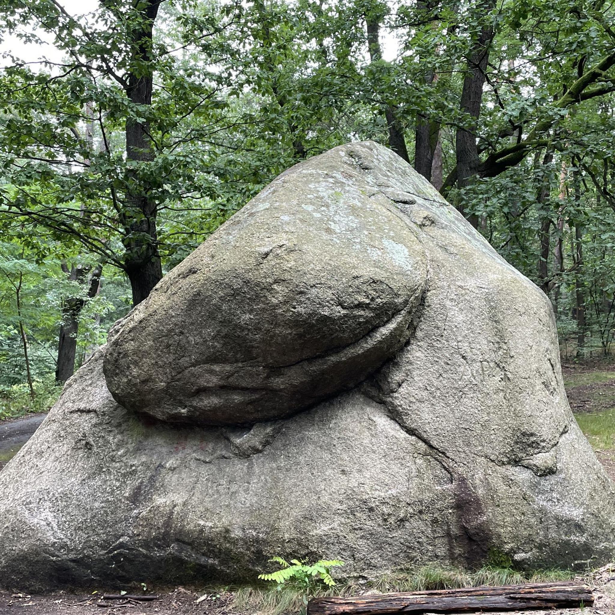
The region is rich in natural beauty. You can encounter impressive granite formations, deeply furrowed valleys, and unique features like the Lohnbach Waterfall, where the Lohnbach river cascades over an eight-meter drop. Other notable natural monuments include the Schwammerlstein, the picturesque Rubner Pond in the Tannermoor, and the fascinating Wackelstein (Wobbling Stone).
Are there any historical sites or castles accessible by touring bike?
Yes, the area around Königswiesen offers historical points of interest. You can cycle past the historic Prandegg Castle Ruins, which provides a glimpse into the region's past. Other nearby castle ruins include Arbesbach Castle Ruins and Klingenberg Castle Ruins.
Which touring cycling routes offer the best views in Königswiesen?
For extensive views across the hilly landscape, consider the Hügelwelt „Panorama Nord“ – Oberösterreich route. Another route, Johannesweg Hut – View of Königswiesen loop from Mönchdorf, also promises rewarding vistas of the Königswiesen area.
Are there circular touring cycling routes available?
Yes, many touring cycling routes in Königswiesen are designed as loops, allowing you to start and end at the same point. Examples include the Königswieser Hof – Forest Trail Near Hörzenschlag loop from Mönchdorf and the Forest Trail Near Hörzenschlag – Ruttenstein Castle Ruins loop from Königswiesen Abzweigung Harlingsedt.
What is the best time of year for touring cycling in Königswiesen?
The Mühlviertel region, where Königswiesen is located, is generally best for outdoor activities from spring through autumn. These seasons offer pleasant temperatures and lush landscapes, ideal for exploring the diverse cycling routes. Always check local weather conditions before heading out.
What do other touring cyclists say about the routes in Königswiesen?
The touring cycling routes around Königswiesen are highly rated by the komoot community, with an average score of 4.8 stars from over 75 reviews. Cyclists often praise the diverse terrain, the unique granite landscape, and the well-maintained paths that offer both challenging rides and scenic beauty.
Are there any longer touring cycling routes for experienced riders?
For experienced riders seeking longer distances and significant elevation gain, Königswiesen offers several challenging routes. The Forest Trail Near Hörzenschlag – Ruttenstein Castle Ruins loop from Königswiesen Abzweigung Harlingsedt is a substantial 35.3 miles (56.9 km) route with over 1300 meters of elevation gain, typically completed in about 4 hours 53 minutes.
Can I find routes that pass through the unique Tannermoor area?
Yes, you can explore the unique Tannermoor, a 12,000-year-old natural area, by bike. The Rubner Pond in the Tannermoor – Rubner Pond loop from Diesenberg is a 34.8 km route that takes you through this picturesque and almost untouched natural landscape, featuring the beautiful Rubner Pond.
Most popular routes around Königswiesen
Most popular attractions around Königswiesen

Get inspired with the komoot mobile app


Explore more
Browse the best Cycling routes in other regions.
