The best road cycling routes around Königslutter
4.7
(303)
3,692
riders
170
rides
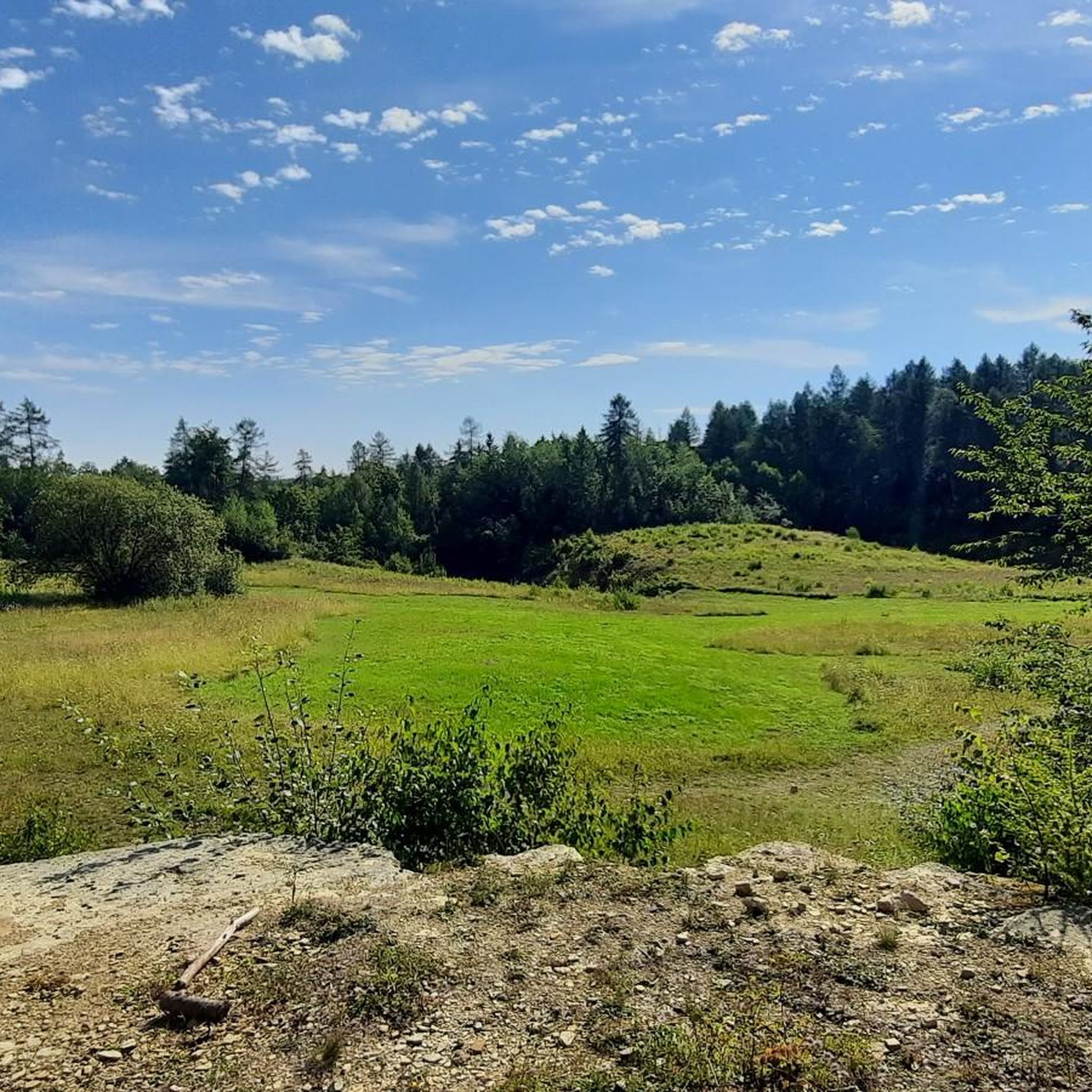
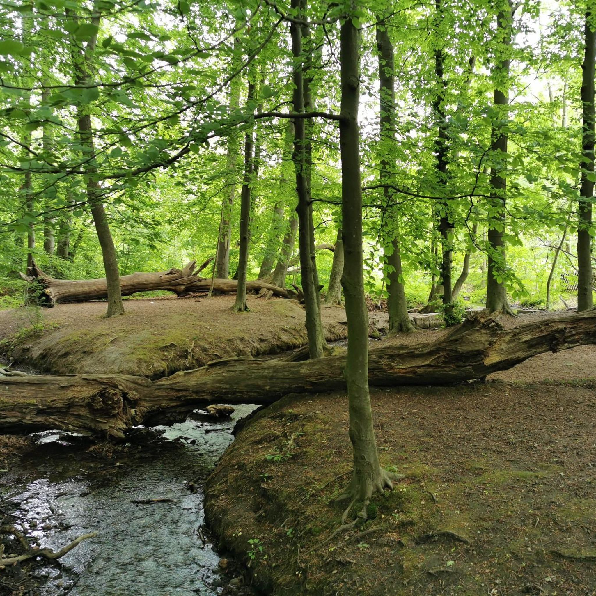
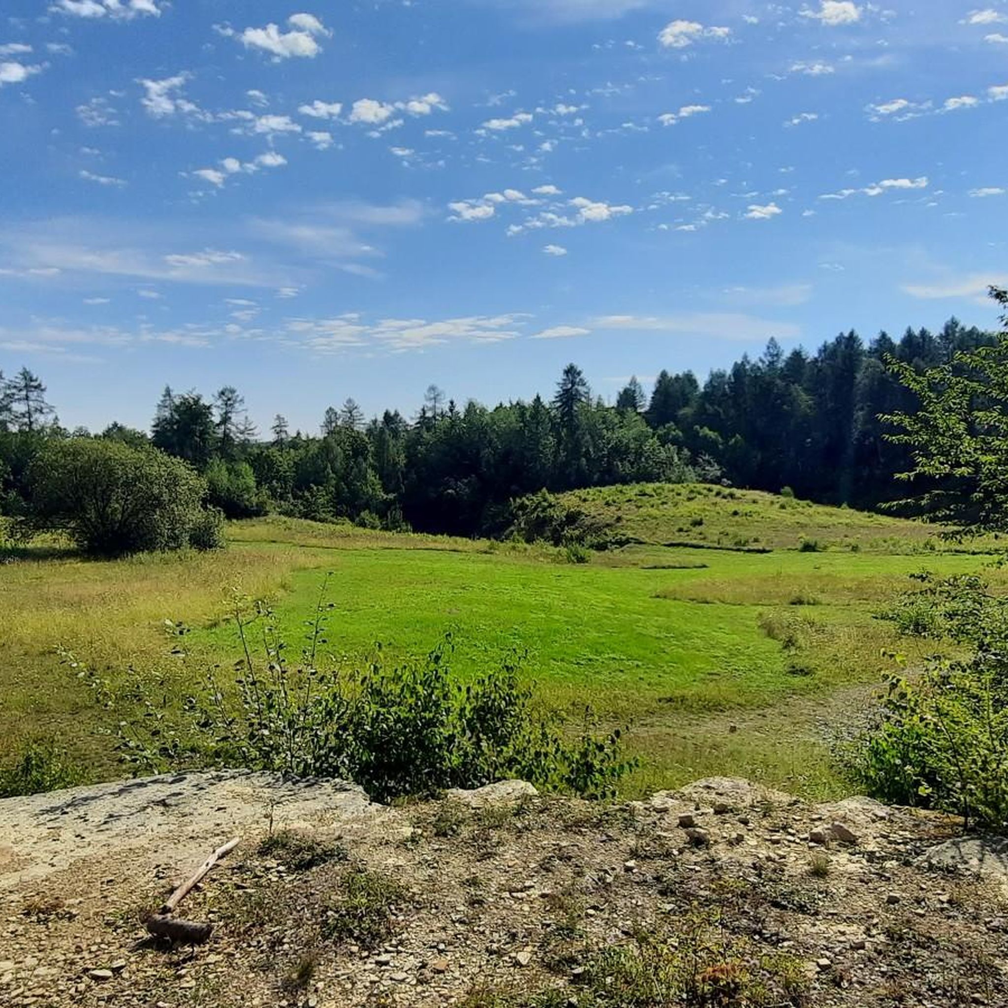
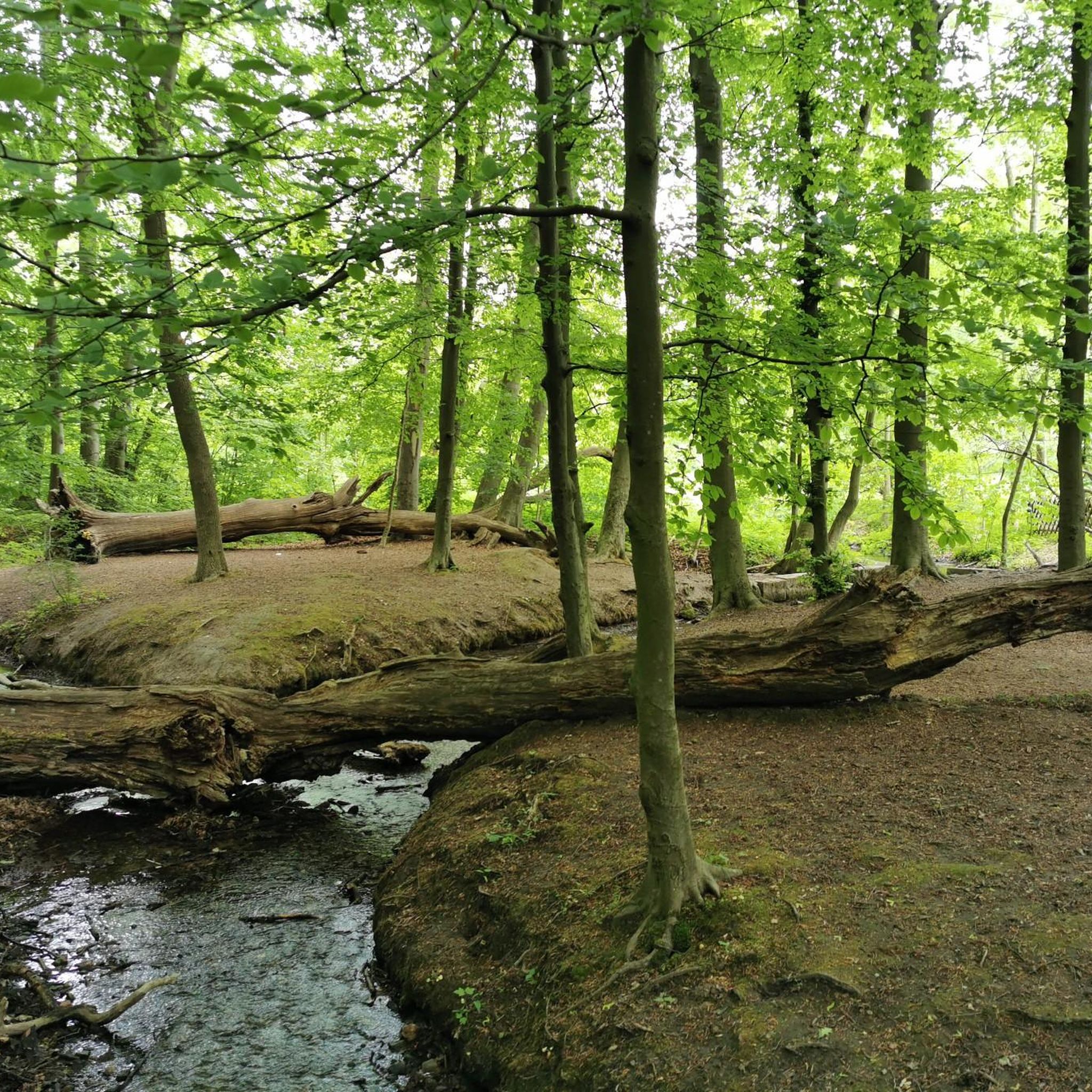
Road cycling routes around Königslutter traverse a landscape characterized by the Elm-Lappwald Forest, offering varied terrain for cyclists. The region features gentle climbs and descents, with routes often passing through open fields and wooded areas. Elevation changes are generally moderate, providing accessible cycling for different skill levels. The area's physical features include the Tiefenbach Valley and the Rieseberg, contributing to diverse scenic options.
Best road cycling routes around Königslutter
- The most popular road cycling route is Elm-Lappwald Forest Road –…
Last updated: May 24, 2026
4.6
(76)
620
riders
Moderate road ride. Good fitness required. Some segments of this route may be unpaved and difficult to ride.
4.7
(3)
80
riders
29.1km
01:18
260m
260m
Easy road ride. Great for any fitness level. Mostly well-paved surfaces and easy to ride.

Sign up for free
4.0
(1)
23
riders
163km
07:36
1,850m
1,850m
Hard road ride. Very good fitness required. Mostly well-paved surfaces and easy to ride.
26
riders
Moderate road ride. Good fitness required. Mostly well-paved surfaces and easy to ride.
1.0
(1)
32
riders
Easy road ride. Great for any fitness level. Mostly well-paved surfaces and easy to ride.
Get access to more routes and recommendations from other explorers.
Sign up for free
Already have an account?
Our route recommendations are based on thousands of hikes, rides, and runs completed by other people on komoot.
Start today with a free account
Your next adventure awaits.
Login or Signup
Tips from the Community

The Brocken summit is always exciting
0
0

Nice climb, but unfortunately too much traffic.
1
0

A very nice highlight.
0
0
A very nice highlight.
0
0

Beautifully developed cycle path that connects Hehlingen and Almke
0
0


The gravel has now become firm, but is now much rougher than before and the old asphalt is showing through again in the corners.
1
0

A few meters high in the flatland
0
0
Frequently Asked Questions
How many road cycling routes are available around Königslutter?
Königslutter offers a wide selection of road cycling routes, with over 170 different tours available. These range from easy to difficult, catering to various skill levels.
Are there easy road cycling routes suitable for beginners in Königslutter?
Yes, Königslutter has many easy road cycling routes. For example, the View of the Tiefenbach Valley loop from Königslutter is an easy 18.1 miles (29.1 km) path, offering scenic views without significant climbs. There are 77 easy routes in total.
What are the typical distances and elevation gains for road cycling routes around Königslutter?
Routes around Königslutter vary significantly. You can find shorter loops like the Rieseberg Climb – Elm-Lappwald Forest Road loop from Bornum, which is about 17.9 miles (28.8 km) with around 147 meters of elevation gain. For a more challenging ride, the Brockenbahn Steam Railway – Elm-Lappwald Scenic Descent loop from Königslutter extends over 100 miles with more than 1800 meters of climbing.
What kind of terrain can I expect on road cycling routes in Königslutter?
The region around Königslutter is characterized by the Elm-Lappwald Forest, offering varied terrain. You'll encounter gentle climbs and descents, with routes often passing through open fields and wooded areas. The Tiefenbach Valley and the Rieseberg contribute to diverse scenic options, providing a mix of flat sections and moderate ascents.
Are there any family-friendly road cycling routes in Königslutter?
While specific 'family-friendly' routes are not explicitly categorized, many of the easy and moderate routes with lower elevation gains, such as those through the Tiefenbach Valley, would be suitable for families with older children or those comfortable with road cycling. Always check the route details for distance and elevation to ensure it matches your family's ability.
What are some notable landmarks or attractions I can see along road cycling routes in Königslutter?
Many routes offer opportunities to see historical and natural landmarks. You might pass by the impressive Königslutter Imperial Cathedral, or the historic Lucklum Manor. The Königslutter Imperial Cathedral – View of the Tiefenbach Valley loop from Königslutter route specifically includes the cathedral.
Are there any circular road cycling routes around Königslutter?
Yes, many of the road cycling routes in Königslutter are designed as loops, allowing you to start and end at the same point. Examples include the popular Elm-Lappwald Forest Road – View of Wheat Field Near Elm loop from Königslutter and the View of the Tiefenbach Valley loop from Königslutter.
What do other road cyclists enjoy most about road cycling in Königslutter?
The road cycling routes in Königslutter are highly rated by the komoot community, with an average score of 4.6 stars from over 290 reviews. Cyclists often praise the varied terrain, the scenic views of the Elm-Lappwald Forest and Tiefenbach Valley, and the well-maintained paths that cater to different skill levels.
What is the best season for road cycling in Königslutter?
While specific seasonal data isn't provided, generally, spring through autumn offers the most pleasant conditions for road cycling in this region. The Elm-Lappwald Forest provides shade in warmer months, and the open fields are beautiful during spring blooms and autumn colors. Always check local weather forecasts before heading out.
Are there challenging road cycling routes for experienced riders near Königslutter?
Yes, for experienced riders seeking a challenge, Königslutter offers more demanding routes. The Brockenbahn Steam Railway – Elm-Lappwald Scenic Descent loop from Königslutter is classified as difficult, covering a significant distance of over 100 miles with substantial elevation gain, providing a rigorous workout.
Can I find routes that offer scenic viewpoints in Königslutter?
Absolutely. The region is known for its scenic beauty. Routes often provide views of the Elm-Lappwald Forest, open wheat fields, and the picturesque Tiefenbach Valley. The Eilumer Horn Summit Cross is a notable viewpoint in the area that could be incorporated into a ride.
Most popular attractions around Königslutter

Get inspired with the komoot mobile app


Explore more
Browse the best Road cycling routes in other regions.
