The best cycling routes in Pitalito
16
riders
1
ride
Touring cycling in Pitalito offers routes through the lush green mountains of southern Colombia, where the Andes mountain range branches. The region features varied terrain with significant elevation changes, including fertile valleys and mountainous environments. Pitalito is situated at the entrance to the Macizo Colombiano, providing a backdrop of dramatic landscapes for cycling. Cyclists can expect a mix of paved and unpaved surfaces, characteristic of the Colombian Andes.
Best touring cycling routes in Pitalito
- The most popular touring cycling route…
Last updated: July 1, 2026
9
riders
49.1km
03:29
910m
910m
Hard bike ride. Very good fitness required. Mostly paved surfaces. Suitable for all skill levels.
3
riders
51.8km
04:09
1,270m
1,270m
Hard bike ride. Very good fitness required. Mostly paved surfaces. Suitable for all skill levels.

Sign up for free
2
riders
17.3km
01:27
550m
540m
Hard bike ride. Very good fitness required. Mostly paved surfaces. Suitable for all skill levels.
Our route recommendations are based on thousands of hikes, rides, and runs completed by other people on komoot.
Start today with a free account
Your next adventure awaits.
Login or Signup
Popular around Pitalito
Tips from the Community

Great hostel to stay for some nights. Warm showers, common kitchen and nice places to relax a bit.
0
0

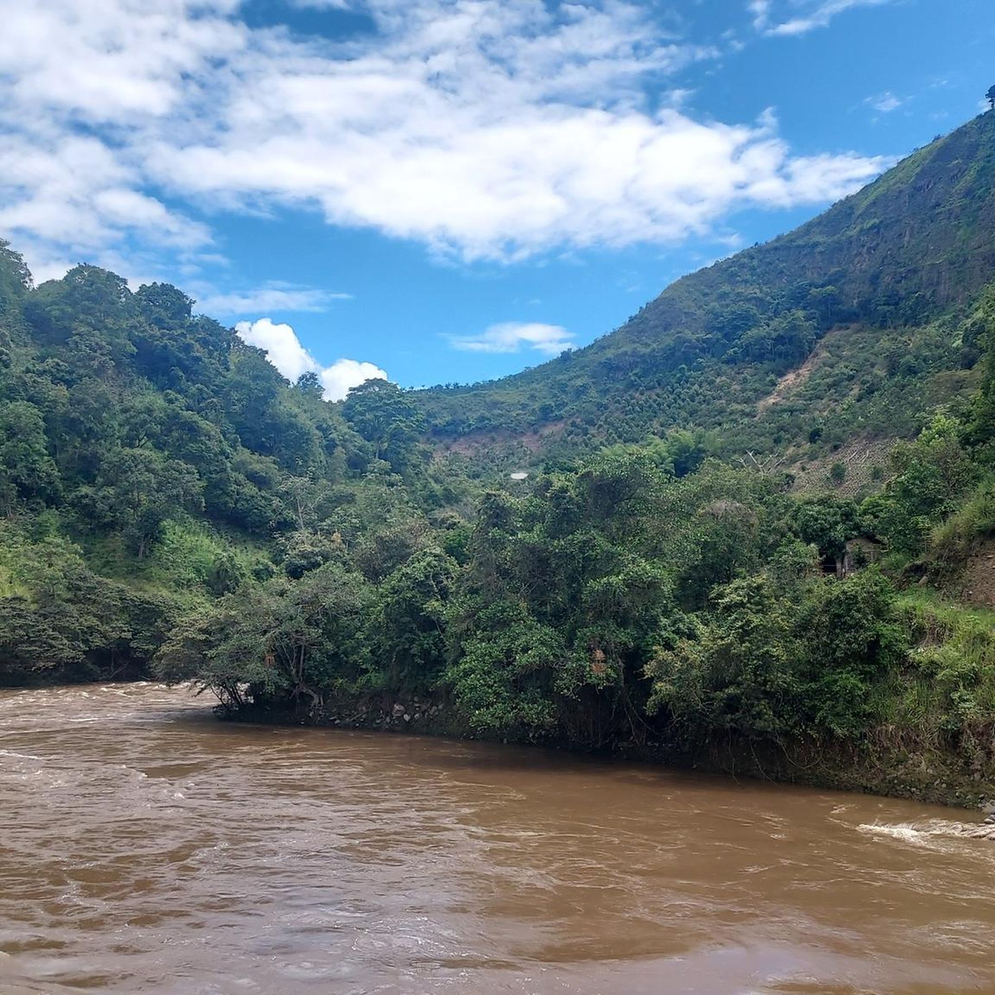
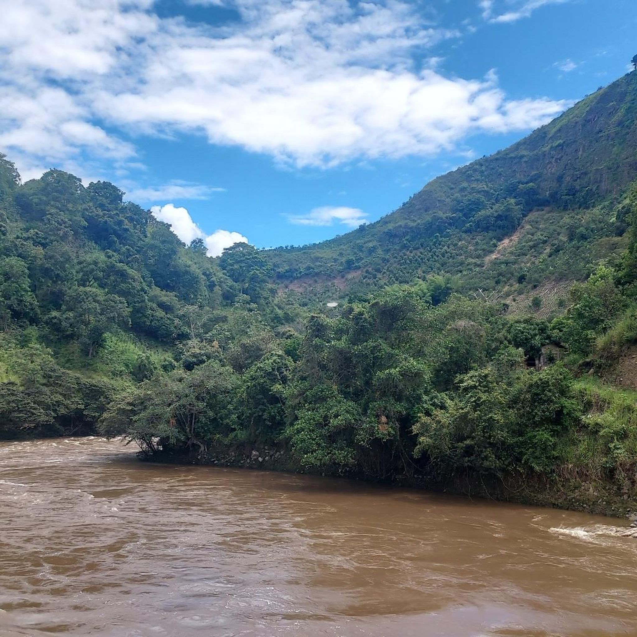
The Magdalena Strait is the narrowest part of the river at 2.20 m, after 70 km on the way from the source to the mouth. The slopes consist of more than 70 million years old compacted lava from the volcanoes of "Pelota" and "Purutal". The reddish color of some rocks is due to the presence of iron sulphate in the area. In some rocks there are 120 million year old sea shells, so-called ammonites. It is considered a sacred place and most indigenous people built their villages along rivers such as the Magdalena.
1
0
The Magdalena Strait is the narrowest part of the river at 2.20 m, after 70 km on the way from the source to the mouth. The slopes consist of more than 70 million years old compacted lava from the volcanoes of "Pelota" and "Purutal". The reddish color of some of the rocks is due to the presence of iron sulphate in the area. In some rocks there are 120 million year old sea shells, so-called ammonites. It is considered a sacred place and most indigenous people built their villages along rivers such as the Magdalena. Also accessible by horseback riding.
0
0
It's hard to believe that a river more than 1500km long can fit through such a narrow gap (about 2m). But that's how he gets strong and vigorous for his long voyage into the Atlantic. The Cordillera in the San Agustín area is a special watershed. Within a few kilometers it is decided whether the water will flow into the Pacific (Rio Cauca), down the Amazon basin or over the Rio Magdalena into the Atlantic.
4
0

the narrowest point of the Magdalena
0
0
Frequently Asked Questions
How many touring cycling routes are available in the Pitalito region?
The Pitalito region, situated at the convergence of the Eastern and Central mountain ranges of the Andes, offers a diverse network of over 37 cycling routes. These routes showcase varied terrain, from fertile valleys to mountainous environments, providing numerous options for touring cyclists.
Are there any circular touring cycling routes in Pitalito?
Yes, Pitalito features several circular touring cycling routes. For example, the challenging Río Magdalena – Laguna de Guatipan loop from Pitalito covers 46.2 km with over 850 m of ascent. Another option is the Magdalena River Narrows loop from San Agustín, a 52 km route with over 1,200 m of climbing, offering a demanding experience through mountainous terrain.
What kind of terrain can I expect on touring cycling routes around Pitalito?
Touring cycling in Pitalito is characterized by its varied and often challenging terrain. You'll encounter significant elevation changes as routes traverse the lush green mountains of the Andes. Expect a mix of quiet paved roads and unpaved sections, providing an adventurous experience through fertile valleys, river gorges, and dramatic mountainous landscapes.
Are there any easy touring cycling routes for beginners or families in Pitalito?
The touring cycling routes highlighted in this guide, such as the Río Magdalena – Laguna de Guatipan loop from Pitalito and the Magdalena River Narrows loop from San Agustín, are generally classified as difficult due to considerable ascents and distances. While the region offers diverse options, those specifically mentioned here are better suited for experienced touring cyclists seeking a challenge.
What is the best time of year for touring cycling in Pitalito?
Pitalito enjoys a pleasant, mild climate year-round, with average temperatures ranging from 15°C to 17°C. This consistent weather makes it comfortable for outdoor exploration and touring cycling throughout the year. However, it's always advisable to check the local weather forecast before heading out, especially for longer rides in mountainous areas.
What are some scenic views or natural features I might encounter on a touring cycling route in Pitalito?
Pitalito's routes offer stunning views of the Colombian Andes, fertile valleys, and dramatic river gorges. You might pass by coffee plantations, native fruit farms, and areas rich in biodiversity. The region is also home to impressive waterfalls like Salto del Mortiño and Cascada de la Hormiga, and ecological reserves such as Humedal La Coneca and Laguna de Guaitipan, which are rich in natural beauty.
Are there any waterfalls accessible or visible from touring cycling routes near Pitalito?
Yes, the Pitalito area is known for its spectacular waterfalls. While specific routes may vary, you can find impressive cascades like Salto del Mortiño, a 170-meter waterfall within the Magdalena River gorges, and Cascada de la Hormiga, located just outside Pitalito. The nearby Waterfall in Colombia is also a notable natural feature in the region.
What cultural or historical attractions are near Pitalito's touring cycling routes?
Pitalito is considered the gateway to the San Agustín Archaeological Park, a UNESCO World Heritage site located just 33 kilometers away, renowned for its pre-Columbian artifacts. You might also find petroglyphs from indigenous cultures in nearby neighborhoods. For local culture, consider visiting the San Agustín Market Hall (La Galería) or the Pitalito Road Art Museum.
Are there places to eat or rest along the touring cycling routes in Pitalito?
While specific cafes directly on every route are not guaranteed, the region's towns and villages, including Pitalito itself, offer opportunities for refreshments. For example, the Masaya Hotel, Restaurant and Viewpoint provides a place to eat and enjoy views. Given the rural nature of some routes, it's advisable to carry sufficient water and snacks.
What makes touring cycling in Pitalito unique compared to other regions?
Touring cycling in Pitalito offers a unique blend of challenging Andean terrain, rich cultural heritage, and stunning natural beauty. Its location at the entrance to the Macizo Colombiano provides dramatic landscapes and significant elevation changes. The opportunity to cycle through coffee-producing regions and near UNESCO World Heritage sites like San Agustín Archaeological Park offers a deeply immersive and authentic Colombian experience.
What should I wear for touring cycling on Pitalito trails?
Given the mild year-round temperatures (15-17°C) and potential for significant elevation changes, layering is recommended. Breathable, moisture-wicking clothing is ideal. Depending on the season and specific route, a light jacket or rain gear might be useful, as mountain weather can be unpredictable. Don't forget sun protection, including sunscreen and sunglasses, and a helmet for safety.
Are there any viewpoints along the touring cycling routes in Pitalito?
Yes, the mountainous terrain of Pitalito naturally offers many scenic viewpoints. The Viewpoint of the Virgin Mary is a notable spot offering panoramic vistas. Many routes will provide expansive views of the fertile valleys and surrounding Andes mountains, especially after significant ascents.
Most popular routes in Pitalito
Most popular attractions in Pitalito

Get inspired with the komoot mobile app


Explore more
Browse the best Cycling routes in other regions.
