The best gravel rides around Reno
4.0
(1)
34
riders
4
rides
Gravel biking around Reno offers diverse terrain at the base of the Sierra Nevada mountains, characterized by a mix of high desert landscapes and forested areas. The region features extensive networks of trails that traverse valleys, meadows, and the banks of the Truckee River. Riders can experience varied scenery, from sagebrush and juniper to pine forests, with routes often incorporating the Sierra foothills. This unique geography provides a range of gravel biking experiences for different skill levels.
Best gravel bike…
Last updated: July 8, 2026
12
riders
21.5km
01:49
270m
270m
Moderate gravel ride. Good fitness required. Mostly paved surfaces. Suitable for all skill levels.
9
riders
27.2km
02:17
280m
280m
Moderate gravel ride. Good fitness required. Mostly paved surfaces. Suitable for all skill levels.

Sign up for free
4.0
(1)
11
riders
33.0km
02:19
310m
310m
Moderate gravel ride. Good fitness required. Mostly paved surfaces. Suitable for all skill levels.
2
riders
Moderate gravel ride. Good fitness required. Mostly paved surfaces. Suitable for all skill levels.
Our route recommendations are based on thousands of hikes, rides, and runs completed by other people on komoot.
Start today with a free account
Your next adventure awaits.
Login or Signup

Tips from the Community

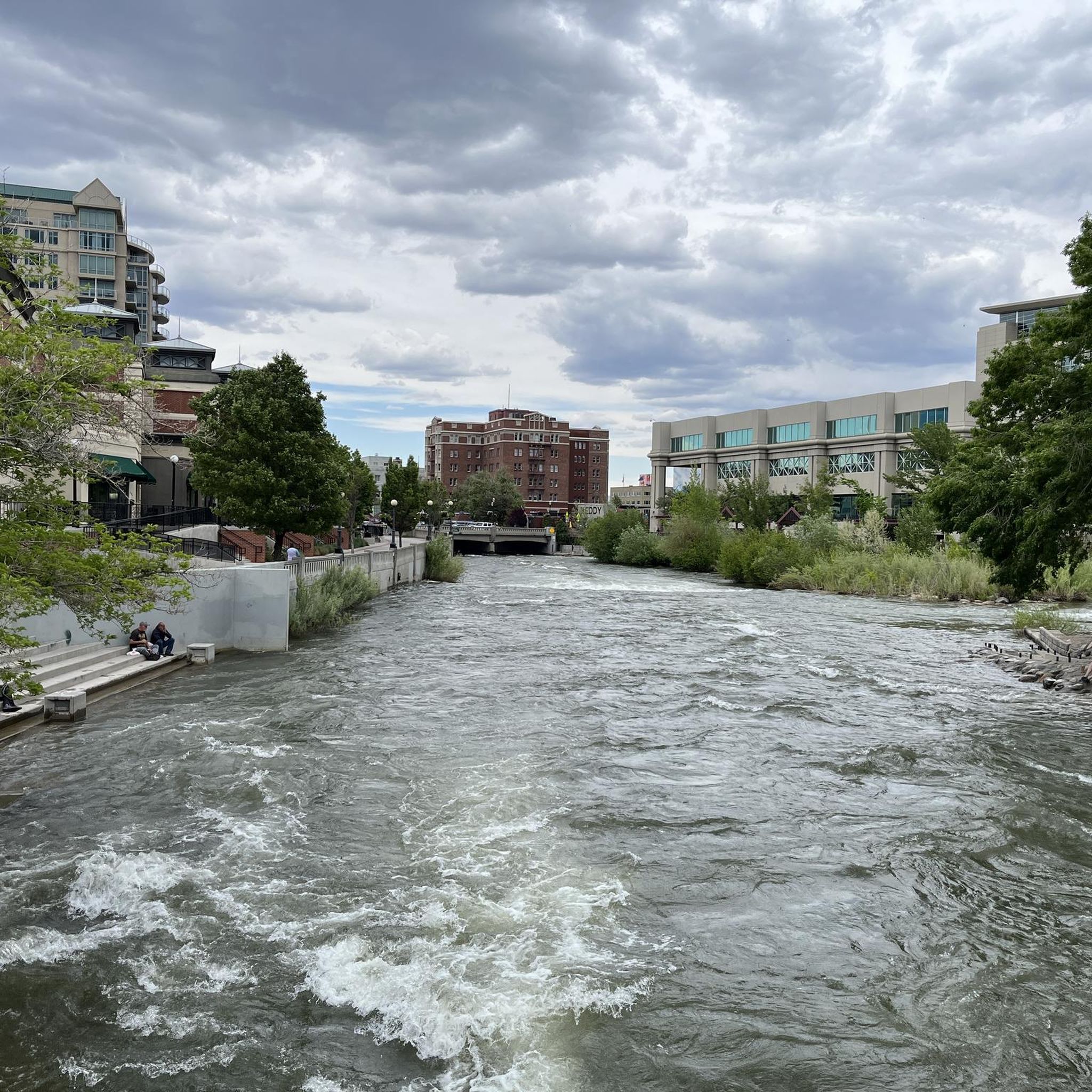
Really cool bridge across the Truckee river. There's picnic tables just off the bridge in a nice shaded area. You can access the river here as well which is a great way to cool off in the summer. The colors in the fall are stunning as well!
1
0
This popular riverside park has a wide paved path, river access, and many more trails across the river leading to Steamboat Ditch & beyond. Mayberry Park also lies along the Tahoe to Pyramid Cycleway which connects the two lakes while mostly paralleling the Truckee River.
0
0
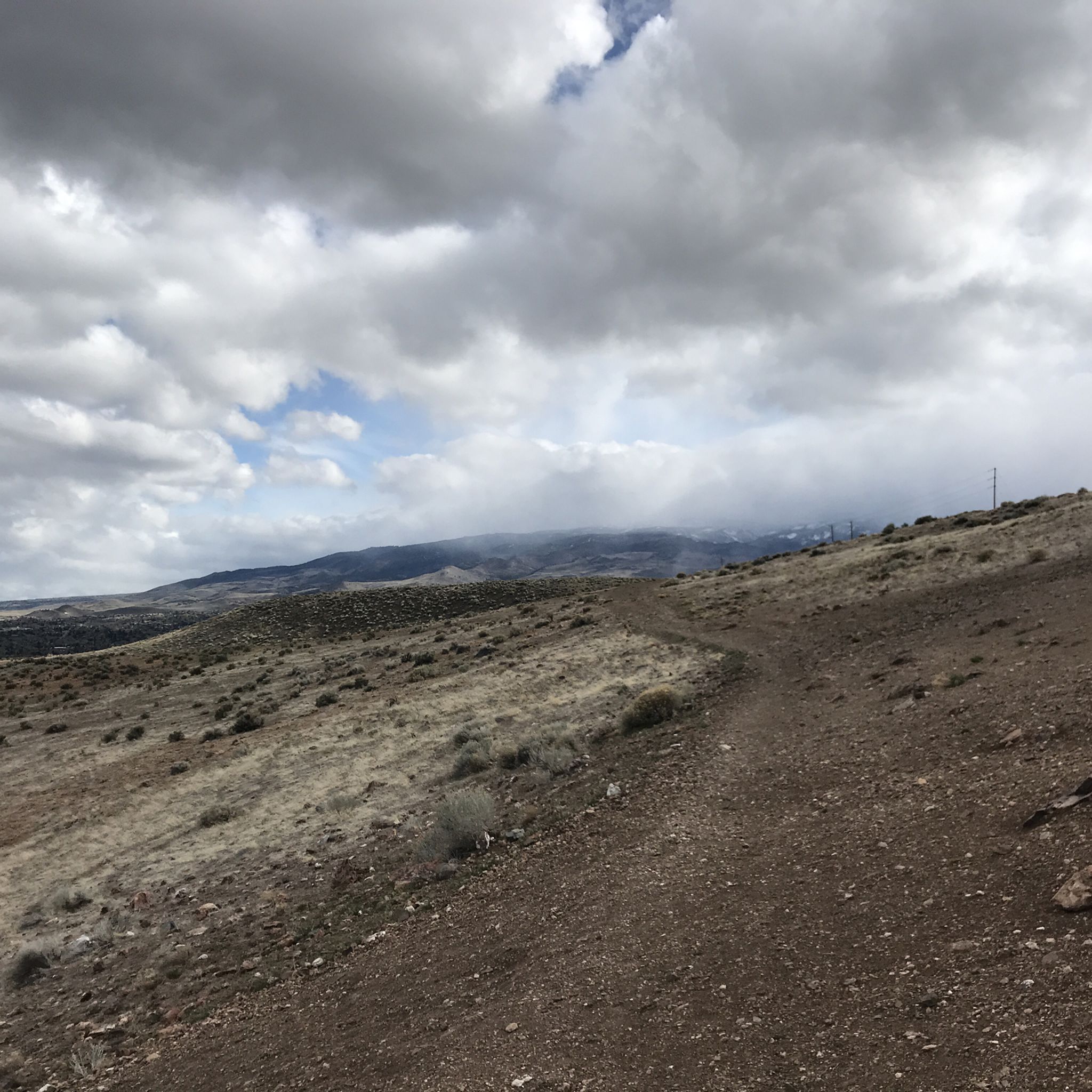
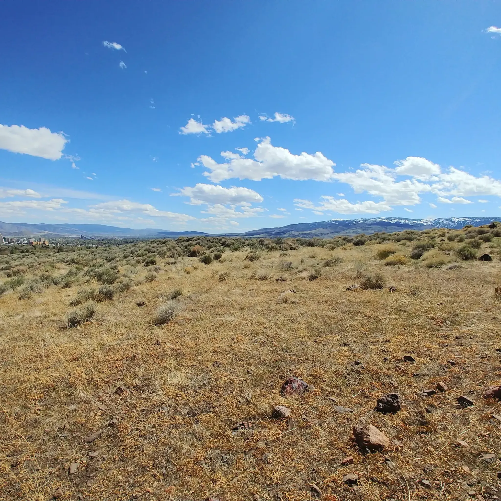
The Southwest corner of Reno is built into the side of the foothills of the surrounding mountains. Due to this unique topography you can escape the city while still being surrounded by it. The Steamboat Ditch Trail runs for dozens of miles across south Reno, and provides access to a wonderful stretch of trails that go from neighborhood to neighborhood by snaking along the edges of the many gorges, gulleys, and canyons.
0
0
Riverside Drive runs along the Truckee River through a historic neighborhood in West Reno. The treelined paths and sidewalks are stunning in autumn and busy with events and festivals throughout the summer. It can get crowded in summer so going for a morning or evening run will afford you more space.
0
0
Steamboat is an easy, flat trail that is perfect for beginners. However, there are tons of side trails that more experienced rider can take across the gulleys and canyons to make this interesting. The views over the Truckee River are great too.
1
0
The Southwest corner of Reno is built into the side of the foothills of the surrounding mountains. Due to this unique topography you can escape the city while still being surrounded by it. The Steamboat Ditch Trail runs for dozens of miles across south Reno, and provides access to a wonderful stretch of trails that go from neighborhood to neighborhood by snaking along the edges of the many gorges, gulleys, and canyons.
0
0

The Tahoe-Pyramid Trail (abbreviated as ‘TPT’) that follows the entire length of the Truckee River, from its source at Lake Tahoe (6225’/1897m) to Pyramid Lake (3796’/1157m). The trail (at 81% completion as of 2023) can be enjoyed by hikers, runners, walkers, or cyclists. Once fully completed the trail will descend nearly 2500′(762m) in elevation over the course of the 114-mile (184km) length, using a combination of existing dirt, paved, and historic roads, bike paths, as well as many newly constructed sections of trail and connecting bridges in both urban and more remote trail areas. https://tahoepyramidtrail.org
0
0
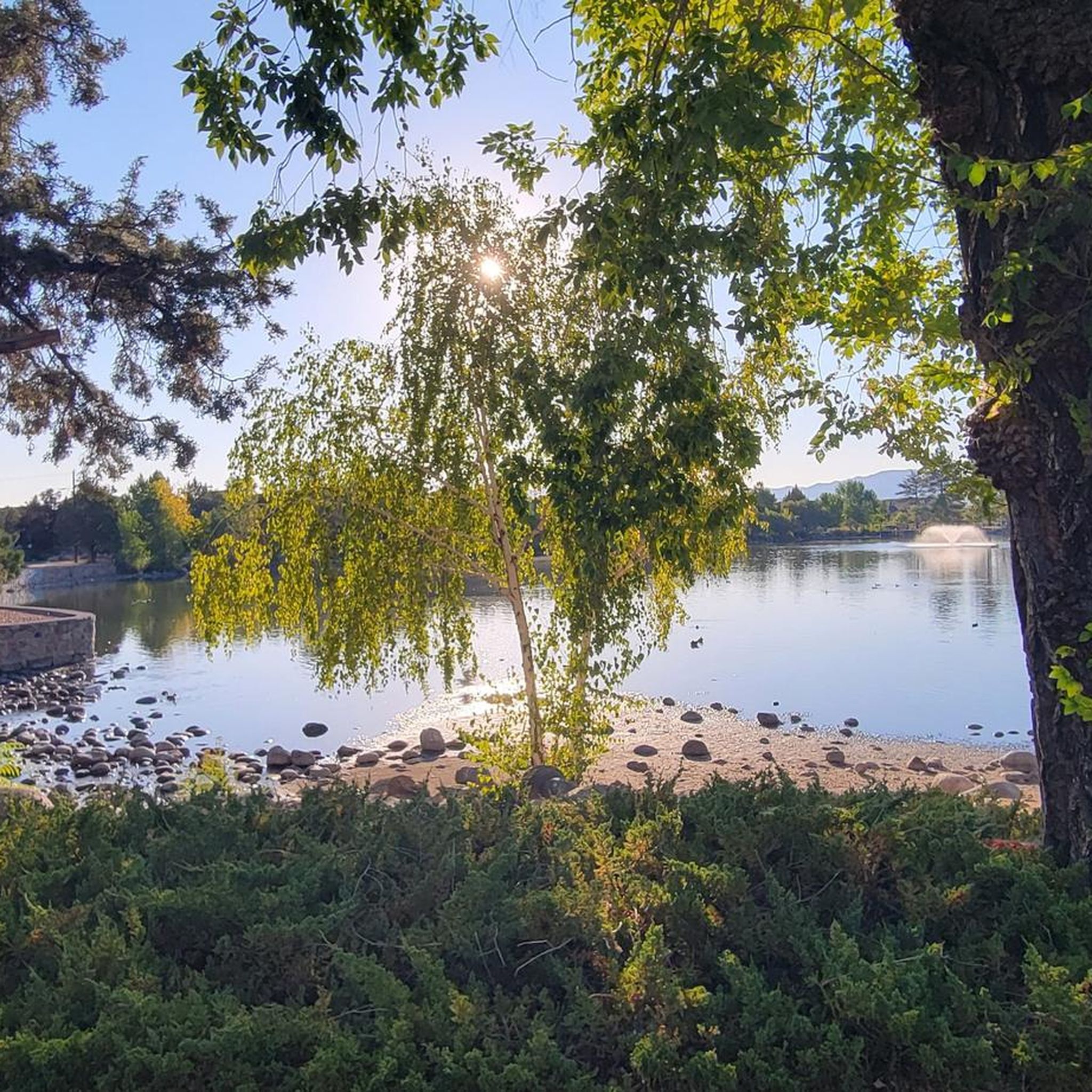
More of a field than a park, however there are restrooms on site and some nice restaurants across the street.
0
0
Frequently Asked Questions
What kind of terrain can I expect on gravel bike trails around Reno?
Reno's gravel trails offer a diverse mix of landscapes. You'll find routes traversing high desert terrain with sagebrush and juniper, shaded forests of pine in the Sierra Nevada foothills, and open meadows and valleys. Many routes also follow the picturesque Truckee River.
How many gravel bike routes are available in the Reno area?
This guide features 5 curated gravel bike routes around Reno, all categorized as moderate difficulty. These routes offer a great starting point for exploring the region's diverse terrain.
Are there any family-friendly gravel biking options near Reno?
While all routes in this guide are rated moderate, areas like Galena Creek Regional Park offer a variety of trails through forests and meadows that can be suitable for families looking for less strenuous options. The Truckee River Bike Path, though mostly paved, also connects to natural landscapes and parks, providing a gentler experience.
What are some scenic viewpoints or natural features I can see along the gravel trails?
Many routes offer stunning views of the Sierra Nevada mountains. You can find viewpoints like Rattlesnake Mountain Overlook or reach summits like Huffaker Hills Summit. The Bridge Over the Truckee River is also a notable feature on some routes, and you might even spot Hunter's Creek Waterfall.
Are there any circular gravel routes in Reno?
Yes, all the routes in this guide are circular. For example, you can try the Steamboat Ditch Trail loop from Caughlin Ranch, which covers over 21 km, or the longer Steamboat Ditch Trail – Bridge Over the Truckee River loop from Mira Loma Park, spanning over 60 km.
What is the best time of year for gravel biking in Reno?
Reno generally enjoys sunny weather for much of the year, making it suitable for gravel biking across multiple seasons. Spring and fall offer pleasant temperatures, while summer can be warm, especially in high desert areas. Winter riding is possible, but higher elevation trails in the Sierra Nevada foothills may be snow-covered.
What is the longest gravel bike route featured in this guide?
The longest route in this guide is the Steamboat Ditch Trail – Bridge Over the Truckee River loop from Mira Loma Park, which is approximately 60.1 km long with an elevation gain of over 413 meters.
Are there any routes that explore the Caughlin Ranch area?
Yes, you can explore the Caughlin Ranch area with routes like the Caughlin Ranch loop from Caughlin Ranch, which is about 27.9 km long, or the Steamboat Ditch Trail – Bridge Over the Truckee River loop from Caughlin Ranch, covering nearly 30 km.
What kind of elevation gain can I expect on Reno's gravel trails?
The gravel routes in this guide feature moderate elevation gains. For instance, the Galena Creek Visitor Center loop from Galena High School has an elevation gain of over 418 meters, while the Steamboat Ditch Trail loop from Caughlin Ranch involves about 267 meters of climbing.
What do other gravel bikers enjoy most about gravel biking in Reno?
Reno's gravel biking scene is appreciated for its diverse topography, ranging from high desert to alpine, and the extensive network of trails. Riders often praise the stunning views of the Sierra Nevada, the varied scenery, and the opportunity to experience both challenging climbs and scenic, less-trafficked paths.
Are there any specific attractions or landmarks near the gravel routes?
Beyond the natural beauty, you can find interesting landmarks such as the Basque Sheepherder Monument. Many routes also pass through or near significant areas like the Erica Greif Memorial Bikeway and the scenic Riverside Drive along the Truckee River.
Most popular attractions around Reno

Get inspired with the komoot mobile app


Explore more
Browse the best Gravel rides in other regions.
