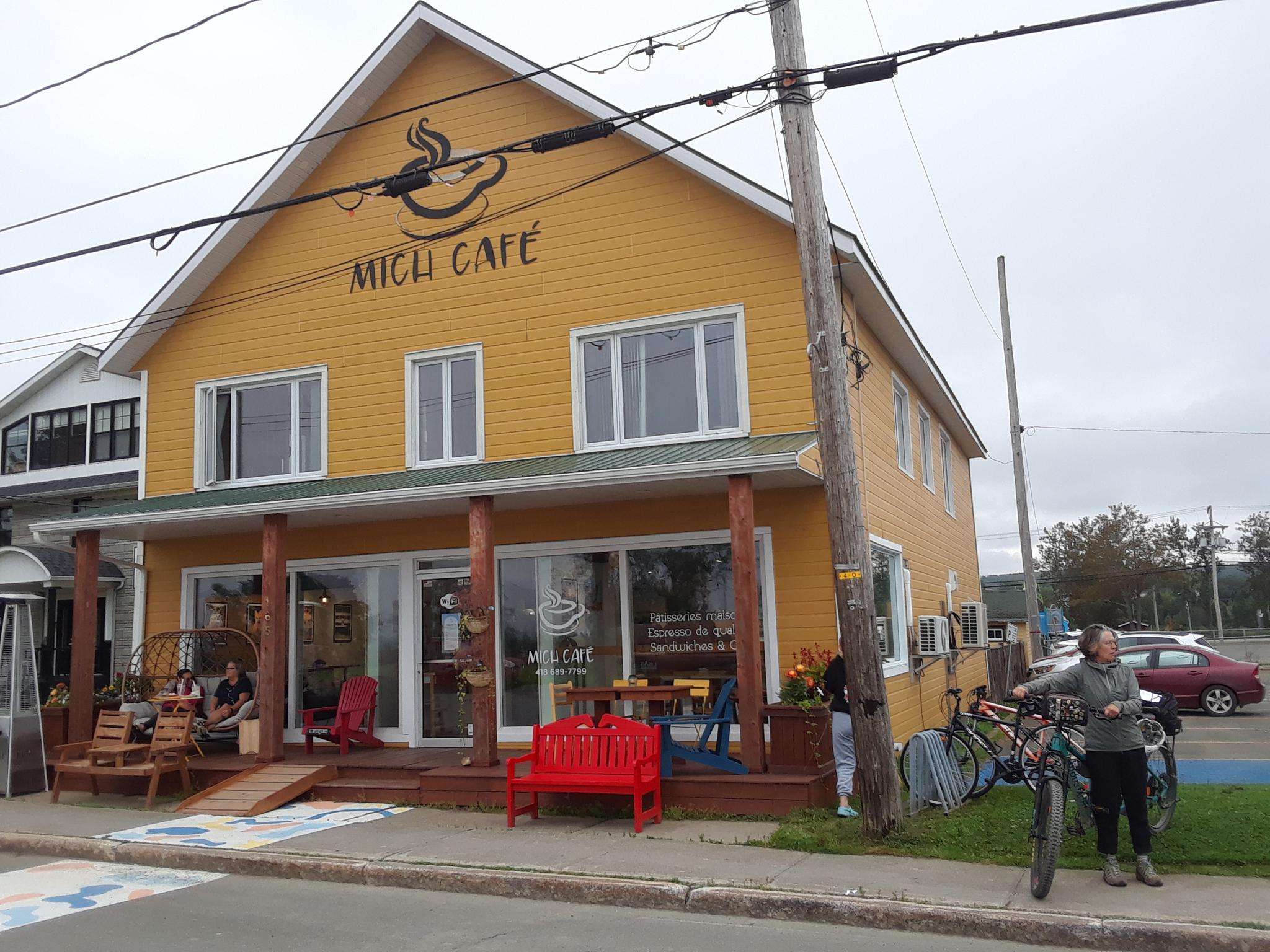
The best road cycling routes around Chandler
55
riders
5
rides
Road cycling routes around Chandler are characterized by a mix of paved paths and urban greenways, offering diverse experiences. The region features extensive canal systems, which often include parallel multi-use paths suitable for road cycling. While the immediate area is urbanized, these routes connect to broader networks, providing access to varied terrain. The landscape is generally flat, with some gentle undulations, making it accessible for different skill levels.
Best road cycling routes around Chandler
- The most popular road cycling route…
Last updated: July 2, 2026
22
riders
83.2km
03:23
520m
520m
Moderate road ride. Good fitness required. Mostly well-paved surfaces and easy to ride.
16
riders
85.0km
03:31
550m
550m
Moderate road ride. Good fitness required. Mostly well-paved surfaces and easy to ride.

Sign up for free
5
riders
17.8km
00:45
120m
120m
Easy road ride. Great for any fitness level. Mostly well-paved surfaces and easy to ride.
5
riders
18.4km
00:47
120m
120m
Easy road ride. Great for any fitness level. Mostly well-paved surfaces and easy to ride.
7
riders
21.9km
00:53
80m
80m
Easy road ride. Great for any fitness level. Mostly well-paved surfaces and easy to ride.
Our route recommendations are based on thousands of hikes, rides, and runs completed by other people on komoot.
Start today with a free account
Your next adventure awaits.
Login or Signup
Frequently Asked Questions
How many road cycling routes are available in Chandler?
This guide highlights 5 specific road cycling routes around Chandler. Beyond these, the city is known for its extensive network of over 100 miles of dedicated bike lanes and multi-use paths, particularly along its canal systems, offering numerous additional options for cyclists.
What kind of terrain can I expect on road cycling routes in Chandler?
Chandler's road cycling routes are characterized by paved paths, urban greenways, and extensive canal paths. The landscape is generally flat with some gentle undulations, making it accessible for various skill levels. You'll find a mix of urban scenery and natural desert backdrops, especially along the canal systems.
Are there any easy road cycling routes suitable for beginners or casual riders?
Yes, Chandler offers several easy road cycling routes. For instance, the Lac Blanc loop from Chandler is an 11.1-mile (17.8 km) trail that leads through varied local landscapes and is often completed in about 45 minutes. Another easy option is the Plage du Grand Pabos loop from Île Beau Séjour, which covers 18.4 miles (29.6 km).
What are some longer road cycling routes in the Chandler area?
For longer rides, you can explore routes like the Halte Municipale – Anse à la Chaloupe loop from Gare de Chandler, which is 51.7 miles (83.2 km) with moderate elevation gain. Another excellent long-distance option is the Halte Municipale – Anse aux Basques loop from Percé, a 52.8-mile (85.0 km) path offering sustained riding with notable elevation changes.
What is the best time of year to go road cycling in Chandler?
Chandler's favorable climate, with over 300 days of sunshine annually, makes it suitable for year-round road cycling. However, the cooler months from late fall through spring (October to April) are generally preferred to avoid the intense summer heat, offering more comfortable riding conditions.
Are there scenic road cycling routes with viewpoints in Chandler?
While Chandler's immediate urban landscape is generally flat, many routes offer scenic views along the canal systems, which are integrated into the Sonoran Desert environment. The Paseo Vista Trail and Consolidated Canal Path provide aquatic scenery, and connections to regional trails can lead to broader desert landscapes and panoramic views, such as those found near South Mountain Park and Preserve, a short drive away.
Can I find loop road bike trails in Chandler?
Yes, many of Chandler's road cycling routes are designed as loops, offering convenient starting and ending points. Examples from this guide include the Lac Blanc loop from Chandler and the Plage Pabos Mills – Plage du Grand Pabos loop from Pabos. The city's extensive canal path network also facilitates creating various loop configurations.
What are some notable landmarks or attractions along Chandler's bike trails?
Chandler's cycling routes often run alongside its extensive canal systems, which are a defining feature of the landscape. You can also find routes that pass through or near parks like Veterans Oasis Park, known for its wetlands and desert views. While the routes are primarily urban, they connect to broader networks that can lead to significant natural areas like San Tan Mountain Regional Park or South Mountain Park and Preserve, offering rugged desert terrain and saguaro-studded hillsides.
Are there family-friendly road cycling options in Chandler?
Absolutely. Chandler's commitment to cycling includes many paved urban shared-use paths that are perfect for casual riders and families. The generally flat terrain and dedicated bike lanes, such as those along the Consolidated Canal Path, provide safe and enjoyable experiences for all ages and skill levels.
Where can I find parking for road cycling routes in Chandler?
Many parks and trailheads throughout Chandler offer designated parking areas for accessing bike trails. For specific information on parking facilities near various trails and parks, you can consult the city's official resources, such as the Chandler Parks & Trails page.
What do other road cyclists enjoy most about cycling in Chandler?
Road cyclists often praise Chandler for its extensive network of dedicated bike lanes and multi-use paths, which provide a safe and accessible environment for riding. The connectivity to regional trails and the scenic canal pathways are also frequently highlighted, allowing for diverse experiences from urban greenways to natural desert scenery. The year-round sunny climate is another major draw.
Are there any permits required for cycling on trails in Chandler?
Generally, no special permits are required for road cycling on the public bike lanes and multi-use paths within Chandler city limits. However, if you plan to venture into specific regional parks or preserves outside the immediate city, it's always advisable to check their individual regulations for any entry fees or specific permits that might apply.

Get inspired with the komoot mobile app


Explore more
Browse the best Road cycling routes in other regions.
