The best walks and hikes in Bath County
1
hikers
5
hikes
Hiking in Bath County offers access to a diverse landscape within the Allegheny Mountains, characterized by high, narrow mountain ridges and river valleys. A significant portion of the county is covered by national forest and state park land, providing extensive forested areas for exploration. The region features pristine waterways like the Jackson River and Cowpasture River, alongside natural hot and mineral springs. This mountainous environment provides varied elevations, catering to different hiking skill levels.
Best hiking trails in Bath County
…Last updated: August 18, 2026
1
hikers
4.30km
01:18
180m
60m
The Furnace Arch Trail offers an easy hiking experience through the Daniel Boone National Forest. As you hike this 2.7-mile (4.3 km) route, you will gain 587 feet (179 metres)…
12.3km
03:21
130m
260m
Explore Sheltowee Trace NRT Section 8, a moderate hiking route spanning 7.7 miles (12.3 km) with an elevation gain of 424 feet (129 metres). This section, often known as "The…

Sign up for free
1.56km
00:25
10m
40m
Embark on an easy hike along the Devil's Market House Arch Trail, a short 1.0-mile (1.6 km) route that takes about 25 minutes to complete. You will gain a gentle…
24.1km
06:40
430m
430m
Embark on the Buckskin, Hog Pen, and Cave Run Trail Loop, a challenging 14.9-mile (24.1 km) hike through Daniel Boone National Forest. This difficult route involves a significant elevation gain…
34.5km
09:17
430m
430m
Embark on the Caney Trail and Sheltowee Trace Loop, a challenging hike that winds through the diverse landscapes of Daniel Boone National Forest. This difficult route spans 21.4 miles (34.5…
Our route recommendations are based on thousands of hikes, rides, and runs completed by other people on komoot.
Start today with a free account
Your next adventure awaits.
Login or Signup
Popular around Bath County
Other adventures in Bath County

Tips from the Community

Great overview of Cave Run Lake! It’s fascinating how the U.S. Army Corps of Engineers managed to balance such a massive flood protection system with a recreation and ecological haven for the Licking River valley. It really highlights the impact of thoughtful civil engineering on local communities. https://www.publixpassport.com.co
0
0

Built by the Army Corps of Engineers and finished in 1969, the Cave Run Lake Dam is an interesting site to take in surrounded by dramatic, variable landscapes.
0
0
Trough Lick Branch feeds into Cave Run Lake from the west and can provide intriguing photo opportunities—as well as slippery conditions and potentially high water after storms.
0
0
Running alongside Cave Run Trail from here to the northwest for about a mile, Big Cave Run makes a definitive crossing with the trail here. Depending on recent rainfall, there may be multiple crossings throughout this section.
0
0
This is one of several opportune spots to reach the water's edge to skip rocks, dip your toes, or drop a line. Check the Daniel Boone National Forest website for details on fishing regulations at Cave Run Lake (https://www.fs.usda.gov/recarea/dbnf/recarea/?recid=39320).
0
0
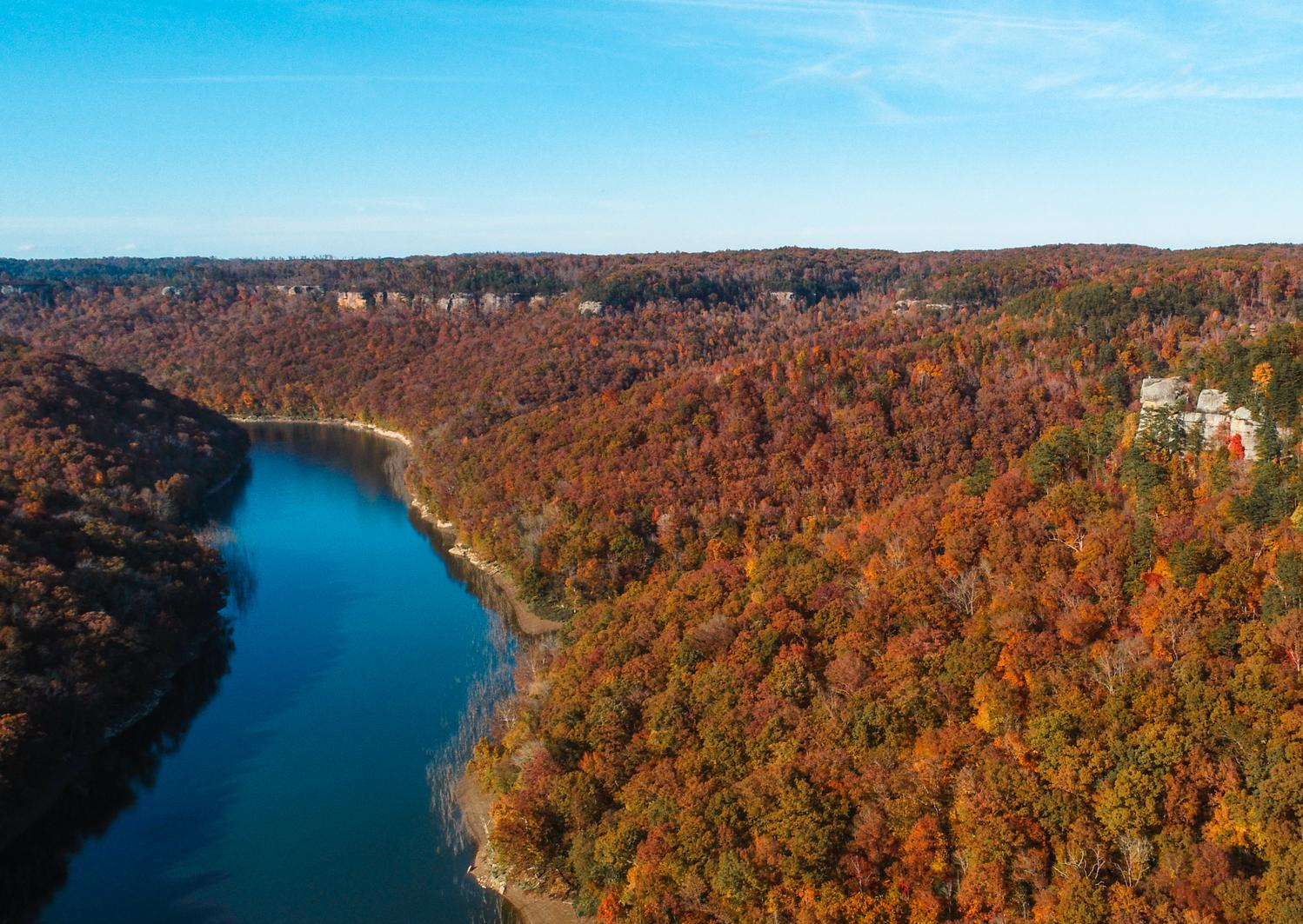
From this elevated section of Buckskin Trail, you'll have a beautiful view of Cave Run Lake—depending on weather of course! A great viewpoint in the fall.
0
0
Frequently Asked Questions
How many hiking trails are there in Bath County?
Bath County offers a diverse range of hiking experiences with at least five documented routes in this guide, and over 100 miles of trails across the region. These trails vary in difficulty, from easy strolls to challenging treks, catering to all experience levels.
What kind of terrain can I expect on hikes in Bath County?
You'll find a picturesque landscape characterized by rolling terrain, high, narrow mountain ridges, and river valleys, as Bath County is nestled within the Allegheny Mountains. Much of the hiking is through extensive forests within the George Washington & Jefferson National Forests and Douthat State Park, offering varied elevations and natural beauty.
Are there any easy, family-friendly hikes in Bath County?
Yes, Bath County has several options suitable for families. The Devil's Market House Arch Trail is an easy, shorter route perfect for a leisurely walk. Another accessible option is the Furnace Arch Trail, which also offers an easy experience. The region also features trails like the Jackson River Gorge Trail - Hidden Valley and the Bear Loop Trail, known for their gentle gradients.
Where can I find trails with scenic views or overlooks?
Bath County is rich in panoramic vistas. The Flag Rock Trail offers excellent views of the Warm Springs valley, while the Dan Ingalls Overlook Trail leads to an observation platform overlooking Shenandoah Mountain and the Cowpasture River valley. The Blue Suck Falls & Tuscarora Overlook Loop in Douthat State Park also provides stunning views of the Allegheny Mountains.
Are there any challenging long-distance hikes in the area?
For those seeking a challenge, Bath County delivers. The Caney Trail and Sheltowee Trace Loop is a difficult route spanning over 34 km. Another demanding option is the Buckskin, Hog Pen, and Cave Run Trail Loop, which covers over 24 km with significant elevation changes.
Can I find trails that feature waterfalls or water bodies?
Absolutely. The region is home to pristine waterways and impressive waterfalls. The Blue Suck Falls & Tuscarora Overlook Loop in Douthat State Park leads to beautiful cascades. Additionally, the impressive 80-foot Falling Springs Falls is easily accessible without a lengthy hike, and the Jackson River Gorge Trail - Hidden Valley meanders alongside the picturesque Jackson River.
Are there any circular hiking routes in Bath County?
Yes, several trails offer a loop experience. The Buckskin, Hog Pen, and Cave Run Trail Loop and the Caney Trail and Sheltowee Trace Loop are both excellent options for circular hikes, providing varied scenery without retracing your steps. The Jackson River Gorge Trail - Hidden Valley is also a relatively easy loop.
What are some notable natural features or landmarks to explore?
Beyond the trails, Bath County is known for its natural hot and mineral springs, particularly in the villages of Hot Springs and Warm Springs. You can also explore the vast George Washington & Jefferson National Forests, Douthat State Park, and the Warm Springs Mountain Preserve. Don't miss the impressive 80-foot Falling Springs Falls, a prominent natural landmark.
Is Bath County suitable for dog-friendly hiking?
Many trails within the George Washington & Jefferson National Forests and Douthat State Park are generally dog-friendly, provided your pet is on a leash. Always check specific park or trail regulations before heading out, but the extensive natural areas offer plenty of space for you and your canine companion to explore.
What is the best time of year to go hiking in Bath County?
Spring and autumn are particularly popular for hiking in Bath County. Spring brings lush greenery and blooming wildflowers, while autumn offers spectacular fall foliage. Summer is also pleasant, especially at higher elevations, but be prepared for warmer temperatures. Winter hiking is possible, but some trails may be more challenging due to snow or ice.
Are there any trails that follow rivers or offer waterside views?
Yes, the region is home to pristine waterways. The Jackson River Gorge Trail - Hidden Valley is a great choice, as it meanders through untouched forests alongside the Jackson River. The Cowpasture River, noted as Virginia's cleanest waterway, also offers scenic views and opportunities for waterside exploration in areas like the Dan Ingalls Overlook.

Get inspired with the komoot mobile app


Explore more
Browse the best Hikes in other regions.
