The best walks and hikes in Tsable Lakes Woodlands
3.9
(11)
108
hikers
13
hikes
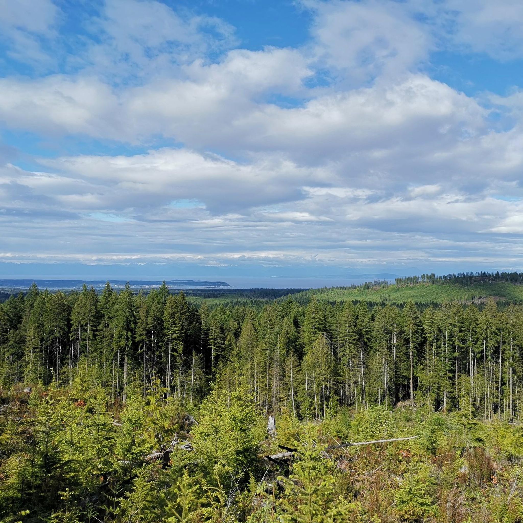
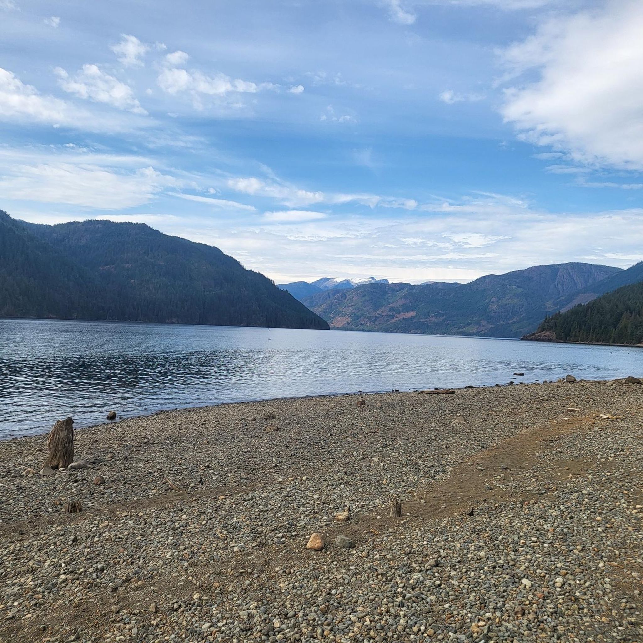
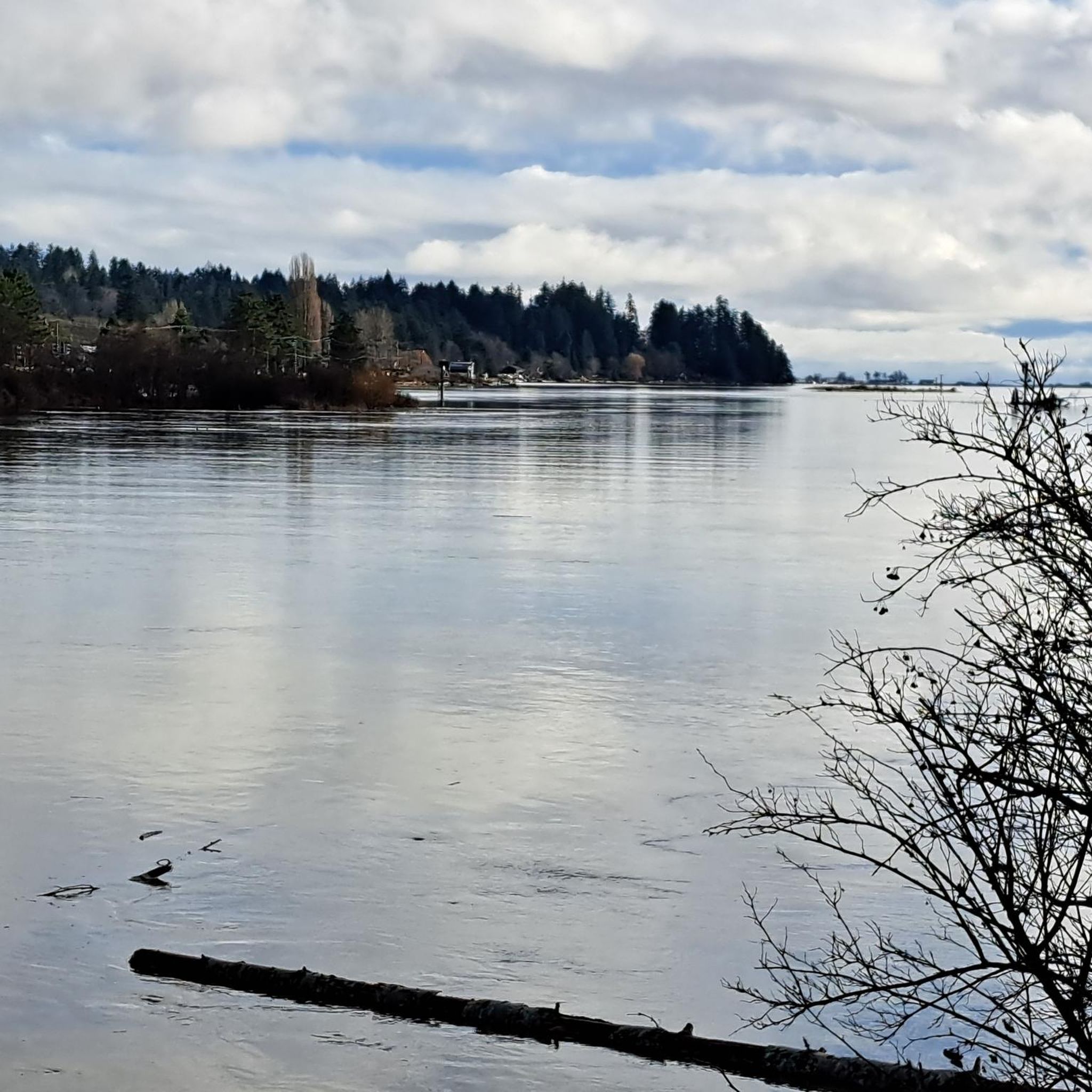
Hiking in Tsable Lakes Woodlands offers access to a natural area situated near the Tsable River on Vancouver Island, British Columbia. The region is characterized by its lush forested landscapes, which are part of British Columbia's temperate rainforest zone, and significant riverine ecosystems. Hikers can expect to traverse dense woodlands and explore areas influenced by the Tsable River, which supports diverse wildlife. The terrain provides varied experiences, from gentle paths to more challenging forest routes.
Best hiking trails in Tsable…
Last updated: August 25, 2026
4
hikers
1.76km
00:29
20m
20m
Easy hike. Great for any fitness level. Easily-accessible paths. Suitable for all skill levels.
1
hikers
3.78km
01:01
40m
40m
Easy hike. Great for any fitness level. Easily-accessible paths. Suitable for all skill levels.

Sign up for free
4.3
(3)
25
hikers
4.19km
01:10
80m
80m
Easy hike. Great for any fitness level. Easily-accessible paths. Suitable for all skill levels.
4
hikers
4.26km
01:12
90m
90m
Easy hike. Great for any fitness level. Easily-accessible paths. Suitable for all skill levels.
2
hikers
12.5km
03:26
180m
190m
Moderate hike. Good fitness required. Easily-accessible paths. Suitable for all skill levels.
Get access to more routes and recommendations from other explorers.
Sign up for free
Already have an account?
Our route recommendations are based on thousands of hikes, rides, and runs completed by other people on komoot.
Start today with a free account
Your next adventure awaits.
Login or Signup
Tips from the Community


The bridge towers roughly 95 feet above the canyon floor, spanning the Trent River on aging timber beams with no side rails, and a small pedestrian platform built for anyone caught on the bridge when a train passed. Rail service was permanently discontinued, and the trestle has sat untouched ever since, slowly reclaimed by the surrounding forest, with trees along the riverbanks now towering over the structure in places.
0
0
The path is popular among local mountain bikers, hikers, and trail runners who enjoy a moderately challenging workout beneath dense forest canopy, with a well-placed bench along the way offering a nice spot to rest and take in views of the river below.
0
0
Located at the quiet dead-end of Hatton Road in the Courtenay-Royston area of Vancouver Island, this spot sits close to the edge of the Chinook Forest Woodlands, a well-known local trail network that includes routes like Moe's Misery.
0
0

This trail is a short forest walk that follows a well-trodden path through second-growth forest as it approaches the river canyon. Most of the route is relatively easy to follow, though it can be slippery as you get close to the falls, with rope-assisted sections leading down to the river at the base. Despite its short length, the combination of forest, river sounds, and rugged terrain makes it feel like a more adventurous trek than you'd expect.
0
0
This trailhead is right next to the Inland Island Highway near the Trent River Bridge, with informal roadside parking available on either side of the highway. However, the northbound shoulder offers the easiest access if you’re looking for quick access to the falls. From here, a wide gravel track leads into second-growth forest toward the falls, but there is no formal trailhead signage, so the entrance is easy to miss. Since parking is close to the highway, be sure to park carefully and avoid blocking access or traffic.
0
0
Trent River Falls is a beautiful, wide, fan-shaped cascade where the Trent River drops roughly 9 metres into a deep pool surrounded by cliffs and boulders. These falls mark the upstream limit for spawning salmon, and in the fall, you can see fish in the river below you. Although relatively hidden from the highway above, this setting feels surprisingly wild, with rushing water, rock walls, and the forest creating a peaceful riverside atmosphere.
0
0
Frequently Asked Questions
How many hiking trails are available in Tsable Lakes Woodlands?
Tsable Lakes Woodlands offers a selection of 9 hiking routes. These trails vary in difficulty, with 5 easy routes perfect for a relaxed stroll and 4 moderate options for those seeking a bit more challenge.
Are there any easy, family-friendly hikes in Tsable Lakes Woodlands?
Yes, the region has several easy trails suitable for families. For instance, the Comox Lake via Vancouver Island Trail — Cumberland, BC is an easy 3.8 km path that connects to Comox Lake. Another great option is the China Bowls via Davis Lake Main — Cumberland Community Forest, an easy 4.2 km route exploring unique features within the Cumberland Community Forest.
Can I find circular hiking routes in the Tsable Lakes Woodlands area?
Yes, there are several loop trails available. A popular choice is the China Bowls – Cumberland Community Forest loop from Cumberland, a moderate 9.7 km trail that takes you through dense forest. Another option is the Cumberland Community Forest – China Bowls loop from Cumberland, an easy 6.8 km loop.
What kind of wildlife can I expect to see while hiking in Tsable Lakes Woodlands?
The Tsable Lakes Woodlands and the surrounding Tsable River ecosystem are rich in biodiversity. Hikers might spot Roosevelt elk, black bears, cougars, and blacktail deer. The area is also a haven for birdwatchers, with species like hummingbirds, warblers, bald eagles, and blue herons frequently seen.
What is the best time of year to hike in Tsable Lakes Woodlands?
Given its location in British Columbia's temperate rainforest, hiking is generally enjoyable from spring through fall. These seasons offer milder weather and lush greenery. While winter hikes are possible, be prepared for cooler temperatures and potentially wet conditions.
Are dogs allowed on the hiking trails in Tsable Lakes Woodlands?
While specific regulations for Tsable Lakes Woodlands are not detailed, many trails in the broader Comox Valley and Vancouver Island region are dog-friendly, often requiring dogs to be on a leash. It's always best to check local signage at trailheads for specific rules regarding pets.
What are the typical landscapes and natural features I'll encounter?
You'll primarily experience lush, dense woodlands characteristic of British Columbia's temperate rainforests, potentially featuring old-growth Douglas Fir trees. The Tsable River is a significant feature, offering riverine ecosystems, and the area's name suggests the presence of scenic lakes, all contributing to a diverse and beautiful natural setting.
What do other hikers enjoy most about hiking in Tsable Lakes Woodlands?
The area is highly rated by the komoot community, with an average score of 4.9 stars from 5 reviews. Hikers often praise the serene forest environments, the active riverine ecosystems, and the varied terrain that offers options for different ability levels, from easy strolls to moderate treks.
Are there any specific attractions or points of interest along the trails?
While there are no specific highlights listed within the immediate Tsable Lakes Woodlands data, the region is known for its natural beauty. Trails often lead through significant forest stands, along the Tsable River, and potentially to scenic lake views. The nearby Cumberland Community Forest, which some routes traverse, offers unique features like the 'China Bowls'.
Is there parking available at the trailheads for Tsable Lakes Woodlands?
While specific parking details for every trailhead in Tsable Lakes Woodlands are not provided, most established hiking areas in British Columbia, especially those connected to community forests like Cumberland, typically offer designated parking areas near popular trail access points. It's advisable to check specific route details or local community information for precise parking locations.
What is the general difficulty level of hikes in this region?
The hiking trails in Tsable Lakes Woodlands offer a range of difficulties. You'll find 5 easy routes, perfect for beginners or a leisurely walk, and 4 moderate routes for those looking for a more challenging experience. There are no difficult routes listed in this guide.
How long do hikes in Tsable Lakes Woodlands typically take?
Hike durations vary depending on the route and your pace. For example, the easy Comox Lake via Vancouver Island Trail — Cumberland, BC takes about 1 hour to complete, while the moderate China Bowls – Cumberland Community Forest loop from Cumberland typically takes around 2 hours 47 minutes.
Most popular routes in Tsable Lakes Woodlands

Get inspired with the komoot mobile app


Explore more
Browse the best Hikes in other regions.
