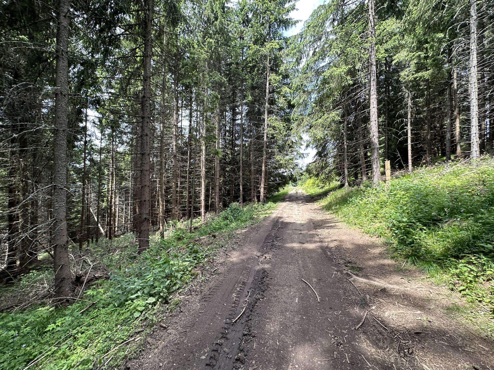
The best MTB trails in Szárhegyi Erdő
5.0
(3)
28
riders
4
rides
Mountain bike trails in Szárhegyi Erdő are found within a region characterized by diverse terrain, including forested areas and rolling hills. The landscape offers varied environments suitable for mountain biking, from gentle sections to more challenging ascents and descents. This area, often associated with the broader Gödöllő Hills, provides a natural setting for outdoor activities.
Best mountain bike trails in Szárhegyi Erdő
- The most popular mountain bike trail is Muntele de Aramă – Piricske loop from Biserica romano-catolică din Lăzarea…
Last updated: August 25, 2026
5.0
(2)
19
riders
45.4km
04:55
1,340m
1,340m
Hard mountain bike ride. Very good fitness required. Advanced riding skills necessary.
3
riders
41.2km
04:18
1,130m
1,130m
Hard mountain bike ride. Very good fitness required. Advanced riding skills necessary.

Sign up for free
5.0
(1)
5
riders
28.5km
02:57
810m
810m
Moderate mountain bike ride. Good fitness required. Suitable for all skill levels.
1
riders
20.8km
02:17
670m
670m
Moderate mountain bike ride. Good fitness required. Advanced riding skills necessary.
Our route recommendations are based on thousands of hikes, rides, and runs completed by other people on komoot.
Start today with a free account
Your next adventure awaits.
Login or Signup
Popular around Szárhegyi Erdő
Frequently Asked Questions
What kind of terrain can I expect on mountain bike trails in Szárhegyi Erdő?
Szárhegyi Erdő, part of the broader Gödöllő Hills, offers a diverse range of terrain. You'll find everything from rolling hills and extensive forests to more challenging mountainous sections with exciting downhill opportunities. The landscape provides varied environments suitable for different skill levels.
Are there mountain bike trails suitable for beginners in Szárhegyi Erdő?
While many routes in the immediate Szárhegyi Erdő area are rated moderate to difficult, the broader region, including the Gödöllő Hills, does offer options for less experienced riders. For example, the Szár-hegy DH trail near Gödöllő is categorized as green difficulty, making it accessible for those new to downhill riding.
How many mountain bike trails are available in Szárhegyi Erdő?
Komoot currently lists 4 mountain bike tours in the Szárhegyi Erdő area. These include 2 moderate and 2 difficult routes, offering a good range for different skill levels.
What are some of the longer mountain bike routes in Szárhegyi Erdő?
One of the longer and more challenging routes is the Muntele de Aramă – Piricske loop from Biserica romano-catolică din Lăzarea, which spans 28.5 miles (45.9 km) with significant elevation gain. Another substantial option is the Piricske – Izvorul Cetății loop from Tatárdomb, covering 25.6 miles (41.2 km).
Are there any moderate mountain bike trails in Szárhegyi Erdő?
Yes, there are moderate options available. The Piricske – Izvorul Cetății loop from Gheorgheni is a moderate 17.7 miles (28.5 km) trail through forested hills. Another moderate route is the Csobot – Bükkfa tető loop from Gheorgheni, which is 12.9 miles (20.8 km) long.
Can I bring my dog on the mountain bike trails in Szárhegyi Erdő?
Yes, dogs are generally permitted on trails in the region. For instance, the Szár-hegy DH trail near Gödöllő explicitly allows dogs, making it a good option for pet owners looking to ride with their companions.
What do other mountain bikers enjoy most about riding in Szárhegyi Erdő?
The mountain bike routes in Szárhegyi Erdő are highly rated by the komoot community, with an average score of 5.0 stars from 3 reviews. Riders often praise the diverse terrain, extensive forests, and the varied challenges offered by the trails.
Are there any viewpoints or scenic spots along the mountain bike trails?
The region, particularly around Szár-hegy, is known for offering panoramic views of the countryside. While specific viewpoints are not detailed for every trail, the elevated sections and forested landscapes often provide scenic vistas during your ride.
What is the typical elevation gain on mountain bike trails in Szárhegyi Erdő?
The elevation gain varies significantly depending on the trail's difficulty. For example, the difficult Muntele de Aramă – Piricske loop features an ascent of approximately 1390 meters, while the moderate Csobot – Bükkfa tető loop has an elevation gain of around 675 meters.
Are the mountain bike trails in Szárhegyi Erdő suitable for families?
While some trails in the broader Gödöllő Hills region are considered family-friendly, the specific routes listed for Szárhegyi Erdő tend to be moderate to difficult. Families with younger or less experienced riders might prefer to seek out easier, designated family trails in the wider area, such as the green-rated Szár-hegy DH trail.
What are the typical trail conditions like in Szárhegyi Erdő?
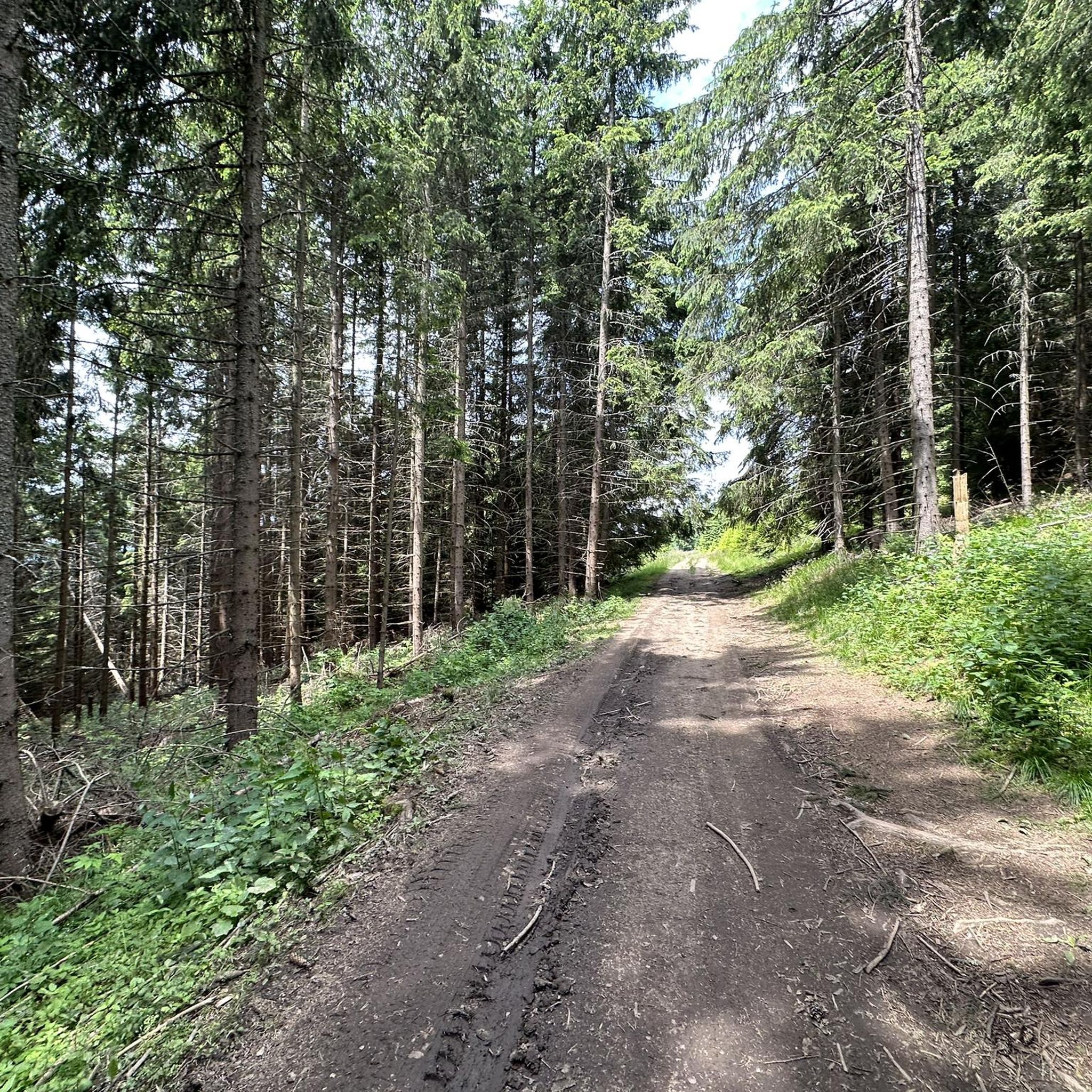
The trails in Szárhegyi Erdő are characterized by diverse terrain, including forested paths and rolling hills. Conditions can vary with weather, so it's always advisable to check local forecasts and recent trail reports before heading out, especially after rain, which can make forest trails muddy.
Most popular routes in Szárhegyi Erdő

Get inspired with the komoot mobile app


