The best running trails in Rattlesnake Wilderness
40
runners
6
runs
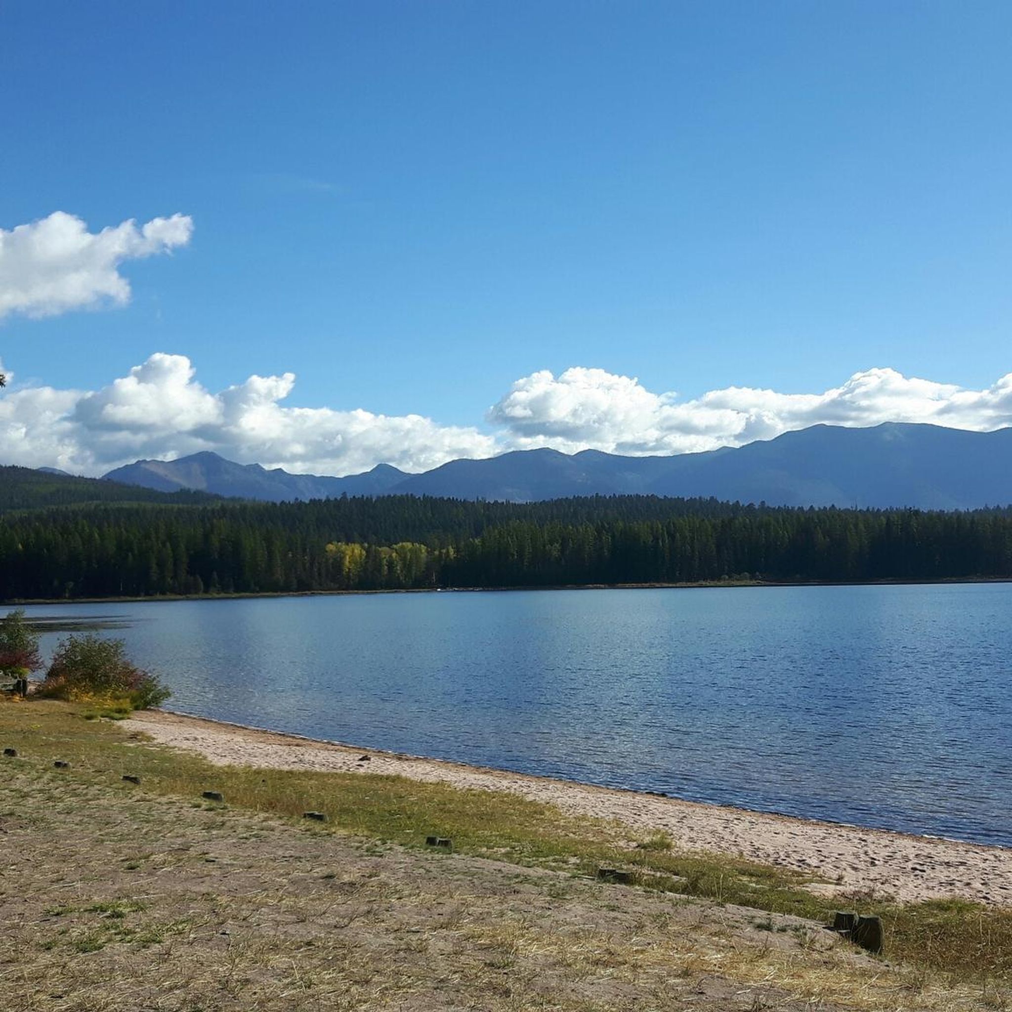
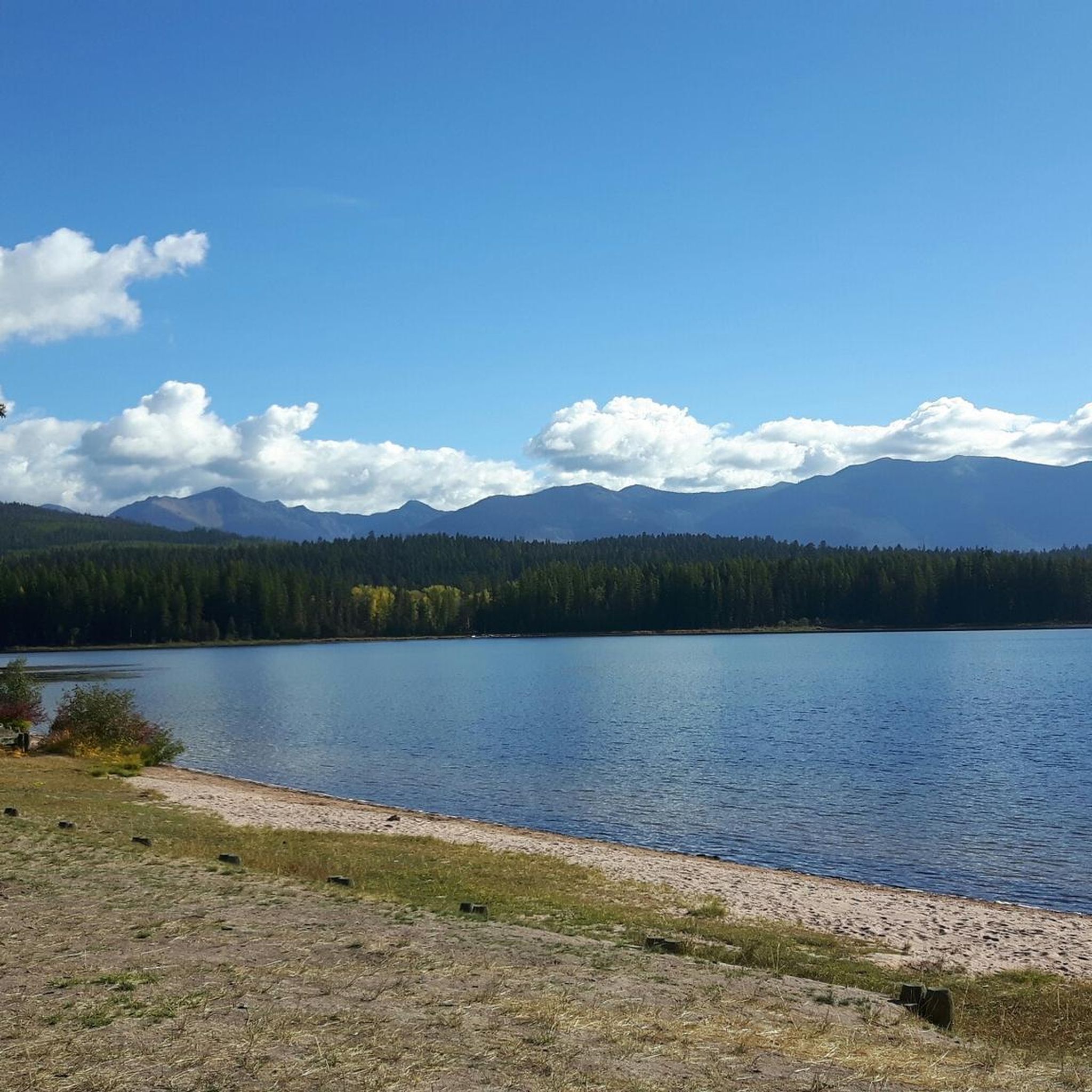
Jogging in Rattlesnake Wilderness offers diverse landscapes for outdoor activities. This glaciated area features a U-shaped basin with over fifty small creeks, ranging in elevation from 4,200 feet to 8,620-foot McLeod Peak. The region includes varied forest types, from sub-alpine to ponderosa pine parklands, and is characterized by scenic lakes, forested ridges, and open cliff-banded slopes. A well-established trail system provides options for different skill levels, from creek-side paths to strenuous ascents.
Best jogging routes in Rattlesnake Wilderness
- The most…
Last updated: June 30, 2026
6
runners
10.1km
01:28
450m
450m
Hard run. Very good fitness required. Mostly paved surfaces. Suitable for all skill levels.
13
runners
12.4km
01:40
390m
390m
Hard run. Very good fitness required. Mostly paved surfaces. Suitable for all skill levels.

Sign up for free
8
runners
7.72km
00:48
60m
60m
Moderate run. Good fitness required. Mostly paved surfaces. Suitable for all skill levels.
5
runners
8.54km
01:07
250m
240m
Moderate run. Good fitness required. Mostly paved surfaces. Suitable for all skill levels.
2
runners
20.2km
02:50
790m
790m
Hard run. Very good fitness required. Mostly paved surfaces. Suitable for all skill levels.
Our route recommendations are based on thousands of hikes, rides, and runs completed by other people on komoot.
Start today with a free account
Your next adventure awaits.
Login or Signup
Popular around Rattlesnake Wilderness

Tips from the Community

This is the spot for a rest and refuel. Since it's the high spot on the trail it means you've put in the work and deserve a little break before reaping the reward of the descent.
0
0
While technically this trail is rideable in both directions local etiquette suggests that uphill traffic is better taking the parallel Sawmill Gulch Road so that downhill traffic can feel the flow. Whichever direction you ride keep an eye out for oncoming traffic.
0
0
This is the spot for a rest and refuel. Since it's the high spot on the trail it means you've put in the work and deserve a little break before reaping the reward of the descent.
0
0

This reserve was established in 1980 and is located in the Missoula Ranger District. It is rich in mountain peaks and picturesque alpine lakes.
1
0
Frequently Asked Questions
How many running routes are available in Rattlesnake Wilderness?
Komoot offers several curated running routes in the Rattlesnake Wilderness, providing options for various skill levels. You'll find a selection of trails to explore this beautiful area.
Are there family-friendly jogging routes in Rattlesnake Wilderness?
Yes, the Rattlesnake National Recreation Area, which borders the wilderness, offers many accessible trails suitable for families. For a moderate option within the guide, consider the Rattlesnake Trail loop from Rattlesnake Trailhead, which is shorter and has less elevation gain.
Can I bring my dog on the jogging trails?
Many trails in the Rattlesnake National Recreation Area are popular with dog walkers. Always ensure your dog is on a leash and that you follow all local regulations regarding pets in wilderness areas. It's a great place to enjoy a run with your canine companion.
What kind of natural features can I expect to see while running in Rattlesnake Wilderness?
The Rattlesnake Wilderness boasts diverse topography, including glaciated landscapes, U-shaped basins, and elevations up to 8,620-foot McLeod Peak. You'll encounter various forest types, from ponderosa pine to sub-alpine forests, and can enjoy views of numerous small creeks, waterfalls, and high mountain lakes. The area also offers rugged and scenic vistas of the Missoula Valley.
Are there any circular running routes in the Rattlesnake Wilderness?
Yes, many of the routes in this guide are designed as loops, allowing you to start and finish at the same point. For example, the Ewok Trail loop from Rattlesnake Trailhead offers a moderate circular run, while the Snowbowl Overlook loop from Ravine Trailhead provides a more challenging option.
What are the parking options for accessing the jogging trails?
The main access point for many popular trails is the Rattlesnake Trailhead, located just north of Missoula. This trailhead typically offers parking facilities, making it convenient to start your run. Other trailheads may also be available depending on your chosen route.
What is the best time of year for jogging in Rattlesnake Wilderness?
The Rattlesnake Wilderness is enjoyable for jogging across multiple seasons. Spring and fall offer pleasant temperatures and vibrant scenery. Summer is also popular, though you might prefer early morning or late afternoon runs to avoid the midday heat. Winter running is possible, but be prepared for snow and ice, especially at higher elevations.
Are there routes suitable for beginner runners?
While many routes in the deeper wilderness are more challenging, the lower reaches of the Rattlesnake National Recreation Area offer gentler paths. The Rattlesnake Trail loop from Rattlesnake Trailhead is a moderate option with minimal elevation gain, making it a good choice for those looking for a less strenuous run.
What kind of wildlife might I encounter on a run?
The Rattlesnake Wilderness is home to diverse wildlife, including elk, deer, coyotes, wolves, mountain goats, bighorn sheep, black bears, grizzly bears, moose, and mountain lions. While sightings are not guaranteed, keeping an eye out for wildlife is part of the wilderness experience. Always be aware of your surroundings and know how to react to wildlife encounters.
How accessible are the jogging trails by public transport?
The Rattlesnake Wilderness is located just four miles north of Missoula, making it relatively accessible. While direct public transport to specific trailheads might be limited, local bus services in Missoula could get you close to the general area, from which you might need to arrange further transport or a short walk to the trailhead.
What do other runners enjoy most about jogging in Rattlesnake Wilderness?
The Rattlesnake Wilderness is highly regarded by the komoot community, with activities in the area receiving an average rating of 5.0 out of 5 stars from over 300 experiences. Reviewers often praise the unique blend of urban proximity and wild solitude, the diverse landscapes, and the stunning natural beauty, including scenic lakes and forested ridges.
Are there any longer, more challenging running routes for experienced runners?
Absolutely. For experienced runners seeking a challenge, routes like the Snowbowl Overlook loop from Rattlesnake Trailhead offer significant distance and elevation gain, providing a demanding and rewarding experience through the wilderness.
Most popular routes in Rattlesnake Wilderness

Get inspired with the komoot mobile app


