The best road cycling routes around Paa-Ko
5.0
(1)
134
riders
6
rides
Road cycling around Paa-Ko, New Mexico, offers diverse terrain at the eastern base of the Sandia Mountains. The region features significant elevation changes, transitioning from high-desert pinyon and juniper hills to ponderosa and spruce forests at higher altitudes. Cyclists can experience well-paved roads, rolling hills, and challenging ascents, including the iconic Sandia Crest. The area is also situated on the historic Turquoise Trail, a National Scenic Byway, providing access to varied landscapes and scenic views.
Best road cycling routes around…
Last updated: June 28, 2026
55
riders
57.9km
02:41
660m
660m
Moderate road ride. Good fitness required. Some segments of this route may be unpaved and difficult to ride.
5.0
(1)
54
riders
51.8km
03:08
1,380m
1,380m
Hard road ride. Very good fitness required. Mostly well-paved surfaces and easy to ride.

Sign up for free
10
riders
26.1km
01:13
340m
340m
Moderate road ride. Good fitness required. Mostly well-paved surfaces and easy to ride.
9
riders
28.6km
01:21
370m
370m
Moderate road ride. Good fitness required. Mostly well-paved surfaces and easy to ride.
3
riders
28.3km
01:27
360m
360m
Moderate road ride. Good fitness required. Mostly well-paved surfaces and easy to ride.
Our route recommendations are based on thousands of hikes, rides, and runs completed by other people on komoot.
Start today with a free account
Your next adventure awaits.
Login or Signup
Popular around Paa-Ko
Tips from the Community

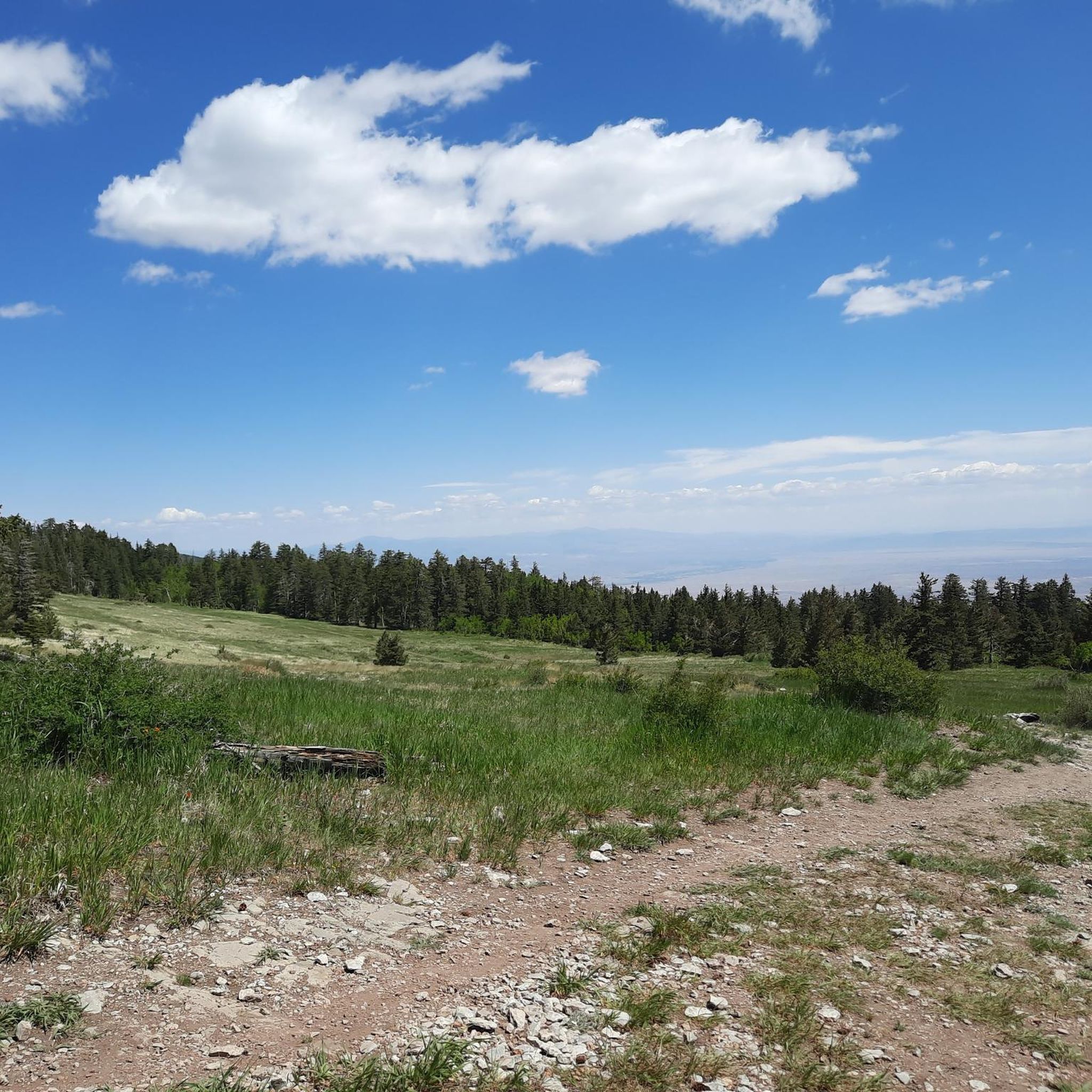
Climbing the Sandia Crest Scenic Byway near Albuquerque is a long, high-altitude ascent offering spectacular panoramic views over the Rio Grande Valley. Prepare for a sustained approximately 13.4 mile climb gaining nearly 4,800ft to the summit lookout at 10,678ft. The climb stays true at a gradient averaging around 5.5%, with maximum ramps near 9-10%, winding steadily upwards through beautiful pine and aspen forests. This iconic New Mexico climb is the hardest and highest.
1
0


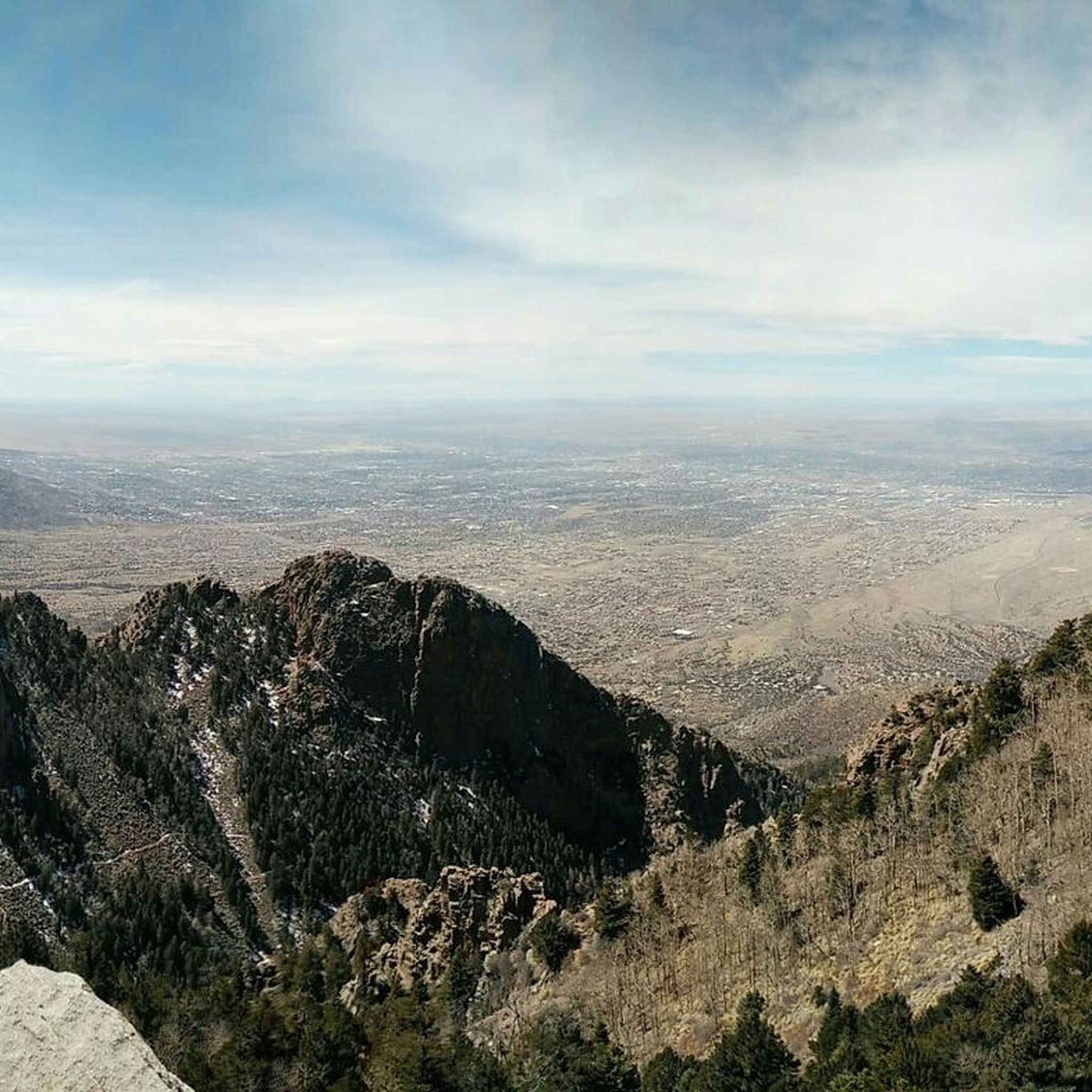
Sandia Crest mountains are just south of the end of the Rocky mountains, and in the Sandia-Manzano Mountain range. Sandia Crest Peak reaches a height of 10,678 feet (3,255 m) above sea level. It is known to get windy up here, and it is much colder due to the elevation and exposure. Right here at the top, there is also the Sandia Crest House Gift Shop.
0
0

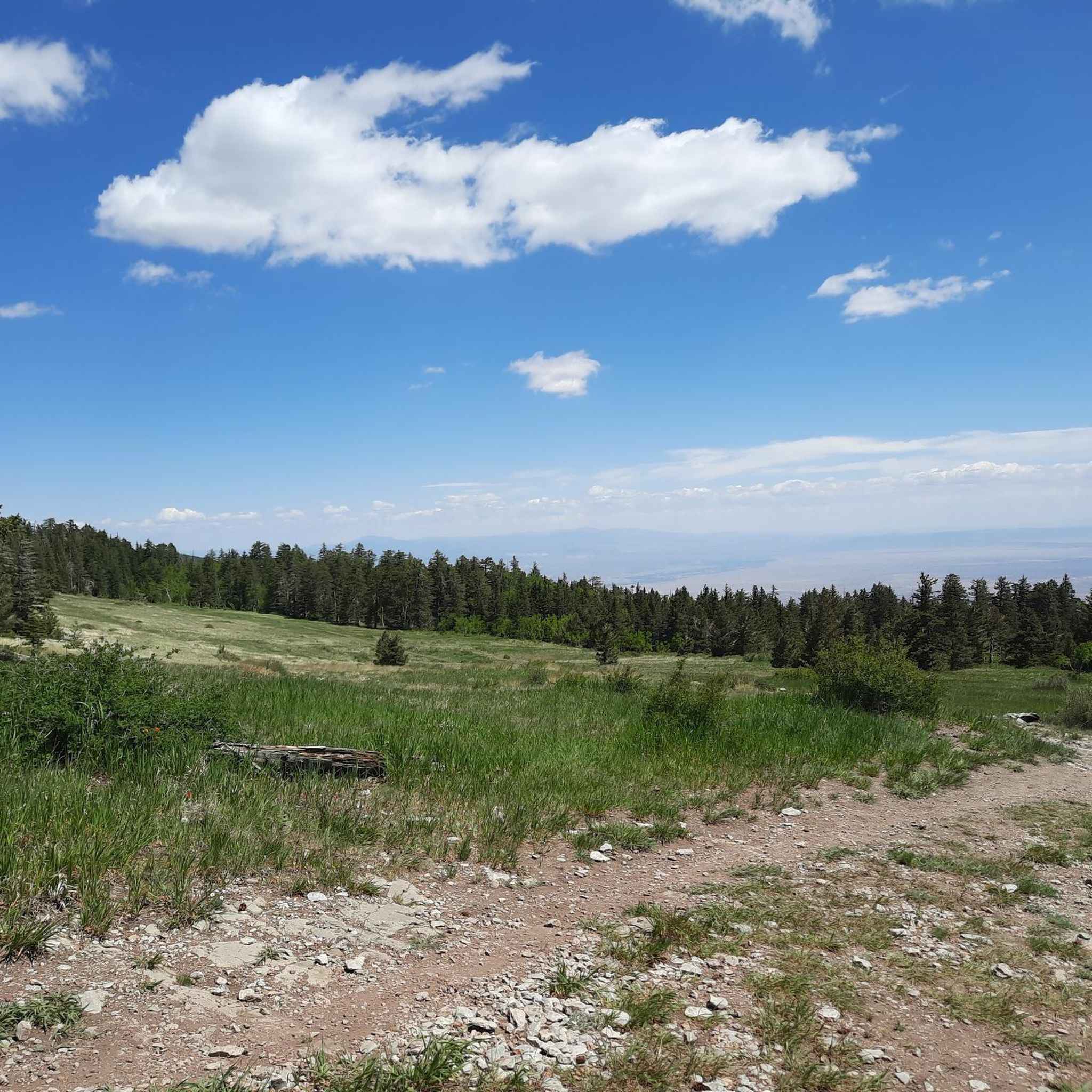
The trees in this little recreation area in Cibola National Forest provides welcome shade for those pedaling the challenging Sandia Crest Road. There are lots of scattered picnic tables and grills, so if you want to take a break with a semblance of privacy, this is a good place to do it.
0
0

At an elevation of 10,678 feet, Sandia Crest is the highest in the Sandia Mountains. What sets this mountain range apart is there's no true summit; instead, it features a ridge line. During sunset, the vibrant colors in the sky explain why this area earned its name, which means "watermelon" in Spanish.
0
0

The North Sandia Peak Trail offers great views of the canyons, pine tree forests, and the impressive rock formations of the Sandia Mountains.
0
1
Frequently Asked Questions
How many road cycling routes are available around Paa-Ko?
There are 5 road cycling routes around Paa-Ko, offering a range of experiences from moderate to difficult. These routes showcase the diverse terrain at the eastern base of the Sandia Mountains.
What makes road cycling around Paa-Ko unique?
Road cycling around Paa-Ko is unique due to its significant elevation changes, transitioning from high-desert pinyon and juniper hills to ponderosa and spruce forests at higher altitudes. The region is also situated on the historic Turquoise Trail, a National Scenic Byway, providing access to varied landscapes and scenic views.
Are there road cycling routes suitable for beginners or those looking for easier rides?
While there are no routes specifically classified as 'easy' in the guide, several 'moderate' routes offer enjoyable experiences. For example, the Roadbike loop from Sandia Knolls is a 22.5-mile path through quiet roads and rural landscapes, which could be suitable for less experienced riders or those seeking a more leisurely pace.
What are some options for longer road cycling routes in the Paa-Ko area?
For longer rides, consider the Cienega Canyon Pond loop from Sandia Park, which is 36 miles long and traverses rolling hills and diverse vegetation. Another option is the challenging Sandia Crest Overlook – Sunset View from Sandia Crest loop from Cañoncito, a 32.2-mile route featuring a significant high-altitude ascent.
Where can I find parking for road cycling routes around Paa-Ko?
Paa-Ko's location on New Mexico State Road 14, the Turquoise Trail, provides excellent starting points. Many routes begin from communities like Sandia Park or Cañoncito, where you can typically find roadside parking or designated areas near trailheads. The East Mountains area is known for quiet roads, making it generally accessible.
What is the most challenging road cycling route near Paa-Ko?
The most challenging route is the Sandia Crest Overlook – Sunset View from Sandia Crest loop from Cañoncito. This 32.2-mile route involves a significant high-altitude ascent to Sandia Crest, offering panoramic views but requiring strong climbing ability.
Are there any scenic viewpoints along the road cycling routes?
Yes, the region is rich with scenic viewpoints. The Sandia Crest Overlook – Sunset View from Sandia Crest loop from Cañoncito route leads to the Sunset View from Sandia Crest, offering breathtaking panoramic views of Albuquerque, Mt. Taylor, Ladron Peak, and the Jemez Mountains.
What kind of landscapes will I experience on a road bike ride near Paa-Ko?
You'll experience a diverse range of landscapes, from high-desert pinyon and juniper-dotted hills at lower elevations to ponderosa, aspen, and spruce forests as you ascend the Sandia Mountains. The routes often feature quiet roads, smooth pavement, and scenic views of rural estates and the mountains.
Are there any attractions or points of interest near the road cycling routes?
Yes, beyond the cycling itself, you can find attractions like the Sandia Peak Aerial Tramway, which offers another way to experience the mountain's grandeur. The Kiwanis Cabin and Travertine Falls are also notable natural highlights in the area.
What is the best time of year for road cycling in Paa-Ko?
The region offers vibrant seasonal displays. Spring brings wildflowers, and fall transforms the aspens into brilliant yellows and oranges, making these seasons particularly scenic. Due to the elevation, temperatures in the East Mountains are generally cooler than in Albuquerque, providing a pleasant environment for cycling.
Are there any loop road cycling routes available?
Yes, all the routes listed in this guide are loop routes, allowing you to start and end at the same point. Examples include the Cienega Canyon Pond loop from Sandia Park and the Roadbike loop from San Antonito.
Most popular routes around Paa-Ko
Most popular attractions around Paa-Ko

Get inspired with the komoot mobile app


Explore more
Browse the best Road cycling routes in other regions.
