The best road cycling routes in Montgomery Bell State Park
15
riders
6
rides
Road cycling routes in Montgomery Bell State Park traverse a landscape characterized by rolling hills, dense hardwood forests, and serene lakes. The park spans 3,782 acres, with elevations ranging from approximately 580 feet to 860 feet, offering varied terrain for cyclists. Paved roads within the park provide opportunities for leisurely rides, while external routes connect to the wider region. The area features scenic views of Lake Acorn, Lake Woodhaven, and Creech Hollow Lake, alongside spring-fed creeks.
Best road cycling routes…
Last updated: October 1, 2026
3
riders
55.3km
02:53
530m
530m
Moderate road ride. Good fitness required. Mostly well-paved surfaces and easy to ride.
2
riders
50.5km
02:33
510m
510m
Moderate road ride. Good fitness required. Mostly well-paved surfaces and easy to ride.

1
riders
40.7km
01:57
340m
340m
Moderate road ride. Good fitness required. Mostly well-paved surfaces and easy to ride.
2
riders
62.9km
03:26
500m
500m
Moderate road ride. Good fitness required. Mostly well-paved surfaces and easy to ride.
3
riders
99.5km
05:19
960m
960m
Hard road ride. Very good fitness required. Mostly well-paved surfaces and easy to ride.
Our route recommendations are based on thousands of hikes, rides, and runs completed by other people on komoot.
Start today with a free account
Your next adventure awaits.
Popular around Montgomery Bell State Park
Tips from the Community

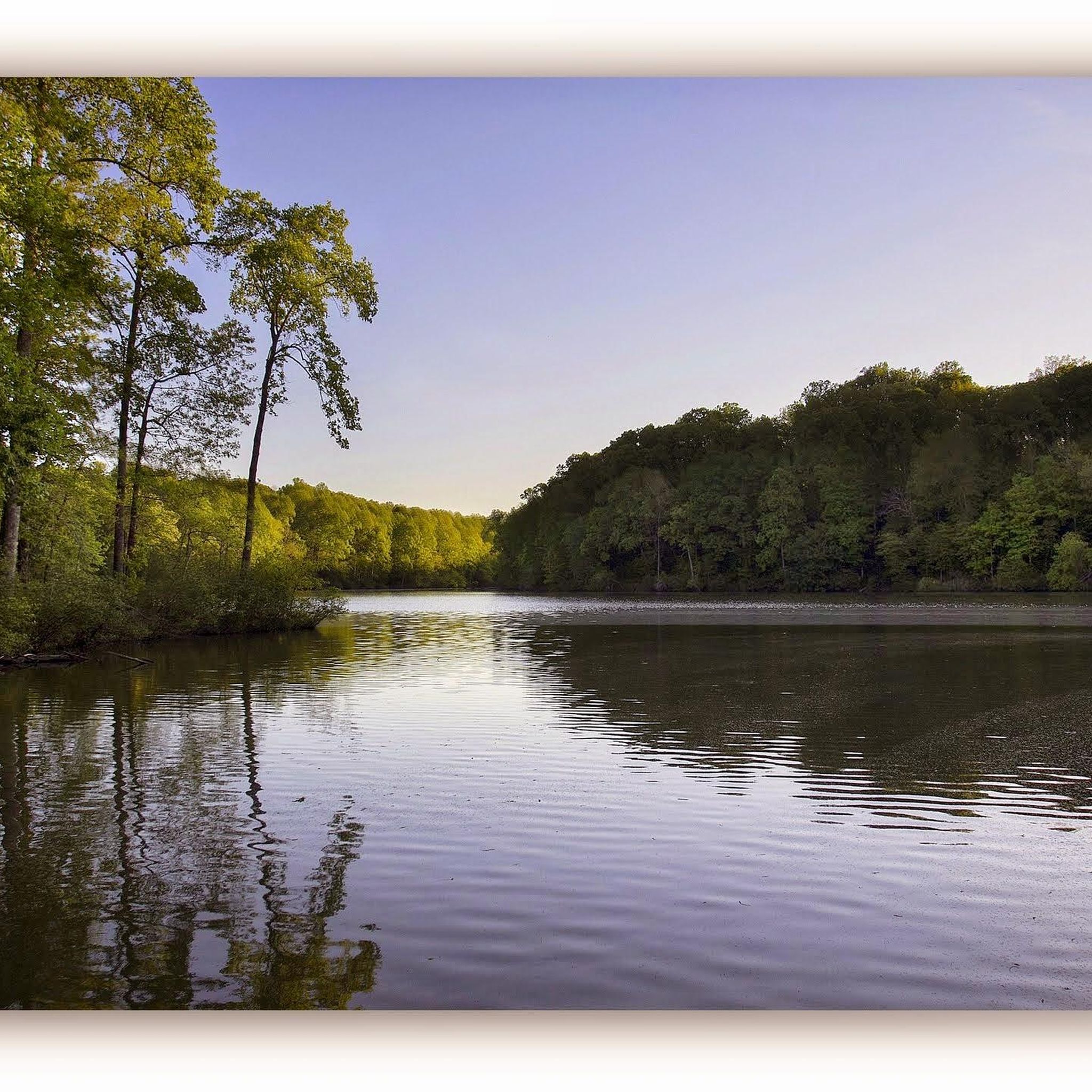
Montgomery Bell State Park features diverse landscapes with rolling hills, lush forests, and serene lakes.
0
0
Frequently Asked Questions
What kind of terrain can I expect on road cycling routes in Montgomery Bell State Park?
Road cycling routes in Montgomery Bell State Park feature a diverse landscape of rolling hills, dense hardwood forests, and serene lakes. Elevations within the park range from approximately 580 feet to 860 feet, providing varied terrain. You'll find both moderate climbs and easier paths, with scenic views of Lake Acorn, Lake Woodhaven, and Creech Hollow Lake.
Are there any easy or family-friendly road cycling routes in Montgomery Bell State Park?
Yes, there are options for easier rides. The park's internal paved roads offer leisurely cycling opportunities. For a specific route, consider the Montgomery Bell State Park loop from Montgomery Bell State Park, which is an easy 17.2-mile path offering scenic views of the park's natural features, including its lakes and forests. This route is suitable for families looking for a less challenging ride.
What are some of the more challenging road cycling routes in the area?
For a more challenging experience, the Brown Hill – Cedar Hill loop from Dickson is a difficult 63.2-mile route with significant elevation gain, totaling nearly 1000 meters. This route is designed for experienced road cyclists seeking a demanding ride.
What natural features and landmarks can I see while road cycling in Montgomery Bell State Park?
While cycling, you can enjoy views of the park's three prominent lakes: Lake Woodhaven, Lake Acorn, and Creech Hollow Lake. The routes also wind through dense hardwood forests and past spring-fed creeks. You might also spot wildlife such as wild turkeys, deer, and geese. The park itself, Montgomery Bell State Park, is a significant natural landmark.
Are there any circular road cycling routes available?
Yes, many of the road cycling routes in and around Montgomery Bell State Park are designed as loops. Examples include the Montgomery Bell State Park loop from John Duke Lake Dam (34.4 miles), the Montgomery Bell State Park loop from Montgomery Bell State Park (17.2 miles), and the Montgomery Bell State Park loop from Hendricks Church (23.3 miles).
What is the best time of year for road cycling in Montgomery Bell State Park?
The park's diverse terrain and natural beauty can be enjoyed throughout much of the year. Spring and fall generally offer the most pleasant temperatures and vibrant scenery, with blooming wildflowers or colorful foliage. Summer can be warm, but the shaded forest sections provide some relief. Always check local weather conditions before heading out.
Where can I park when visiting Montgomery Bell State Park for road cycling?
Montgomery Bell State Park offers various parking areas throughout its grounds. You can typically find parking near the main park entrances, visitor centers, and trailheads. For specific routes, such as those starting from within the park or near John Duke Lake Dam, designated parking is usually available to accommodate visitors.
Are there any cafes or places to get refreshments near the road cycling routes?
While the park itself has a lodge and facilities, for cafes or other refreshment options, you would typically need to venture into nearby towns like Dickson. It's advisable to carry sufficient water and snacks, especially for longer rides, as amenities might not be directly along every route within the park.
Can I bring my dog on the road cycling routes in Montgomery Bell State Park?
Montgomery Bell State Park is generally pet-friendly, but specific rules apply. Dogs are usually allowed on paved roads and many trails if kept on a leash. However, it's always best to check the latest park regulations regarding pets on specific cycling paths or in certain areas to ensure a smooth visit.
What do other road cyclists enjoy most about cycling in Montgomery Bell State Park?
Road cyclists often praise the varied terrain, which includes rolling hills and scenic views of the park's lakes and dense hardwood forests. The routes offer a good mix of challenges and leisurely sections, making it appealing for different skill levels. The natural beauty and tranquil atmosphere are frequently highlighted as key attractions.
How many road cycling routes are featured in this guide for Montgomery Bell State Park?
This guide features 7 distinct road cycling routes within and around Montgomery Bell State Park, offering a range of distances and difficulties for cyclists to explore.
What is the longest road cycling route mentioned in this guide?
The longest road cycling route highlighted in this guide is the Brown Hill – Cedar Hill loop from Dickson, which spans 63.2 miles (101.7 km) and is classified as difficult due to its significant elevation gain.
Most popular routes in Montgomery Bell State Park
Most popular attractions in Montgomery Bell State Park

Get inspired with the komoot mobile app


Explore more
Browse the best Road cycling routes in other regions.
