The best road cycling routes in San Andrés Itzapa
5.0
(1)
41
riders
5
rides
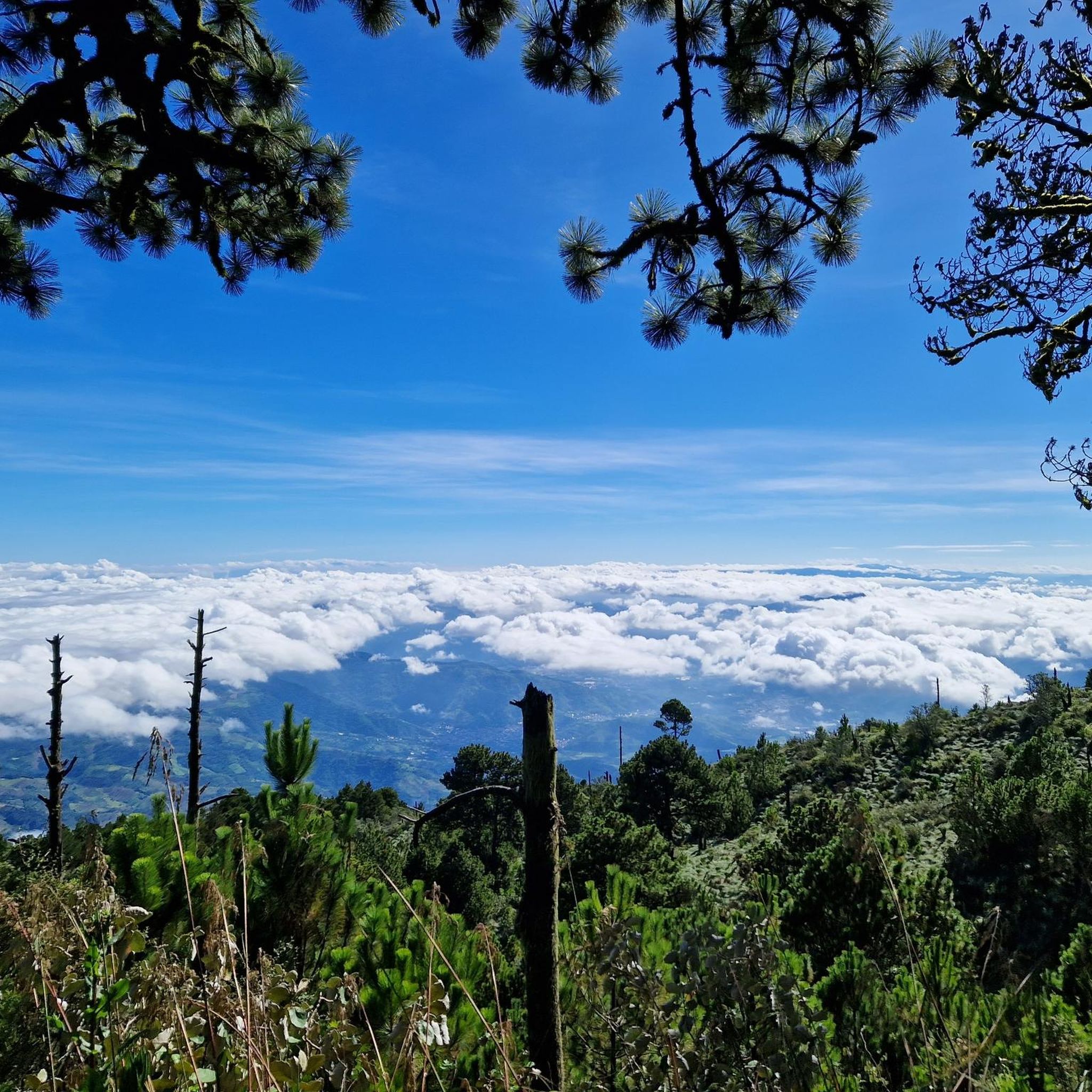
Road cycling in San Andrés Itzapa features routes with significant elevation changes, traversing a landscape characterized by rolling hills and mountainous terrain. The region offers challenging climbs and descents, providing varied experiences for road cyclists. Many routes lead to scenic viewpoints, showcasing the area's natural features and surrounding valleys.
Best road cycling routes in San Andrés Itzapa
- The most popular road cycling route is Roadbike loop from Parramos, a 49.6 miles (79.9 km) trail that takes 4 hours 29…
Last updated: May 13, 2026
15
riders
79.9km
04:30
1,280m
1,280m
Hard road ride. Very good fitness required. Some segments of this route may be unpaved and difficult to ride.
10
riders
36.2km
01:57
620m
620m
Moderate road ride. Good fitness required. Mostly well-paved surfaces and easy to ride.

Sign up for free
7
riders
45.8km
02:17
650m
650m
Moderate road ride. Good fitness required. Mostly well-paved surfaces and easy to ride.
5
riders
68.3km
03:23
940m
940m
Hard road ride. Very good fitness required. Some segments of this route may be unpaved and difficult to ride.
5.0
(1)
4
riders
88.1km
04:51
1,580m
1,580m
Hard road ride. Very good fitness required. Some segments of this route may be unpaved and difficult to ride.
Our route recommendations are based on thousands of hikes, rides, and runs completed by other people on komoot.
Start today with a free account
Your next adventure awaits.
Login or Signup
Popular around San Andrés Itzapa


Tips from the Community

Right next to Plaza Central, a beautiful square with a park in the middle of the city
1
0
Located on the central square of Antigua in Guatemala. It serves as the headquarters of the Guatemalan Institute of Tourism, the Antigua Tourism Association, the National Police, and the Government of the Department of Sacatepquez. Wikipedia
2
0

The Palacio de los Capitanes Generales was the administrative headquarters of the Spanish colonial government. The building on the Parque Central was built in 1558, was damaged several times by earthquakes and is now a cultural center.
4
0

A wonderfully green park in the heart of the city. Sitting on one of the benches you can watch the hustle and bustle around you.
1
0
Frequently Asked Questions
What kind of terrain can I expect when road cycling in San Andrés Itzapa?
Road cycling in San Andrés Itzapa is characterized by significant elevation changes, with routes traversing rolling hills and mountainous terrain. You'll encounter challenging climbs and descents, offering a varied experience for cyclists.
Are there road cycling routes suitable for beginners in San Andrés Itzapa?
The routes in San Andrés Itzapa are generally categorized as moderate to difficult. There are no routes specifically listed as easy, so beginners should be prepared for some challenging ascents and descents. Routes like Mirador Ciudad Vieja – Mi casa loop from Sumpango offer a moderate challenge.
What are the typical distances and durations for road cycling routes in this region?
Routes vary in length and duration. For example, the Mirador Ciudad Vieja – Mi casa loop from Sumpango is about 22.5 miles (36.2 km) and takes around 2 hours to complete, while the Roadbike loop from Parramos is a longer 49.6 miles (79.9 km) route, typically taking over 4 hours.
Are there challenging road cycling routes for advanced riders?
Yes, San Andrés Itzapa is known for its challenging routes. Advanced riders will find several difficult options, such as the Roadbike loop from Parramos, which features substantial elevation gain over its 49.6 miles (79.9 km) distance. Another demanding option is the Mirador Ciudad Vieja – Barranco del Rastro loop from Chimaltenango, covering 68.8 km with over 1000 meters of ascent.
Do the road cycling routes in San Andrés Itzapa offer scenic viewpoints?
Many routes in San Andrés Itzapa lead to scenic viewpoints, showcasing the area's natural features and surrounding valleys. For instance, the Mirador Ciudad Vieja – Mi casa loop from Sumpango and the Mirador Ciudad Vieja loop from Chimaltenango both offer views towards Mirador Ciudad Vieja.
Are there circular road cycling routes available in San Andrés Itzapa?
Yes, many of the road cycling routes in San Andrés Itzapa are designed as loops, allowing you to start and end at the same point. Examples include the Roadbike loop from Parramos and the Mirador Ciudad Vieja loop from Chimaltenango.
What is the best season for road biking in San Andrés Itzapa?
While specific seasonal data isn't provided, regions with mountainous terrain like San Andrés Itzapa generally offer pleasant cycling conditions during the dry season, typically from November to April, when rainfall is lower and temperatures are more moderate. Always check local weather forecasts before heading out.
How does road biking in San Andrés Itzapa compare to nearby towns?
San Andrés Itzapa is known for its challenging ascents and varied terrain, making it a destination for road cyclists seeking significant elevation changes. The region offers a distinct experience with its rolling hills and mountainous landscapes, often leading to scenic viewpoints, which might differ from flatter or less elevated areas in neighboring towns.
What kind of gear is recommended for road biking in San Andrés Itzapa?
Given the challenging climbs and descents, a well-maintained road bike with appropriate gearing for hills is essential. Helmets are always recommended, and consider bringing layers of clothing to adapt to changing temperatures, especially at higher elevations or during descents. Sufficient water and nutrition are also crucial for longer rides.
Are there any less crowded road bike trails in San Andrés Itzapa?
While specific crowd levels aren't tracked, exploring routes that are not explicitly highlighted as 'most popular' might offer a quieter experience. All routes in the area provide opportunities to explore the varied terrain, and early morning rides often ensure a more serene environment.
What do other road cyclists enjoy most about road cycling in San Andrés Itzapa?
The area is highly rated by the komoot community, with an average score of 5.0 stars. Reviewers often praise the challenging ascents, the rewarding scenic viewpoints, and the varied terrain that makes each ride unique.
Most popular routes in San Andrés Itzapa

Get inspired with the komoot mobile app


Explore more
Browse the best Road cycling routes in other regions.
