The best gravel rides around Les Avanchers-Valmorel
4.3
(3)
51
riders
5
rides
Gravel biking around Les Avanchers-Valmorel is characterized by its diverse alpine terrain in the Savoie department of France. The region features significant elevation changes, with average elevations around 1,486 meters and peaks reaching 2,562 meters. Riders encounter a mix of paved and unpaved roads, winding through forests and mountain pastures. This environment provides varied cycling experiences for those seeking challenging routes.
Best gravel bike trails around Les Avanchers-Valmorel
- The most popular gravel bike trail is Viewpoint with benches – Picnic…
Last updated: May 16, 2026
18
riders
40.7km
03:36
1,620m
1,620m
Hard gravel ride. Very good fitness required. Mostly paved surfaces. Suitable for all skill levels.
4
riders
24.5km
02:46
1,040m
1,040m
Hard gravel ride. Very good fitness required. Mostly paved surfaces. Suitable for all skill levels.

Sign up for free
3.0
(1)
5
riders
33.4km
03:24
1,330m
1,330m
Hard gravel ride. Very good fitness required. Mostly paved surfaces. Suitable for all skill levels.
5.0
(1)
6
riders
28.3km
02:13
750m
750m
Hard gravel ride. Very good fitness required. Mostly paved surfaces. Suitable for all skill levels.
4
riders
113km
10:00
4,230m
4,230m
Hard gravel ride. Very good fitness required. Mostly paved surfaces. Suitable for all skill levels.
Our route recommendations are based on thousands of hikes, rides, and runs completed by other people on komoot.
Start today with a free account
Your next adventure awaits.
Login or Signup
Popular around Les Avanchers-Valmorel
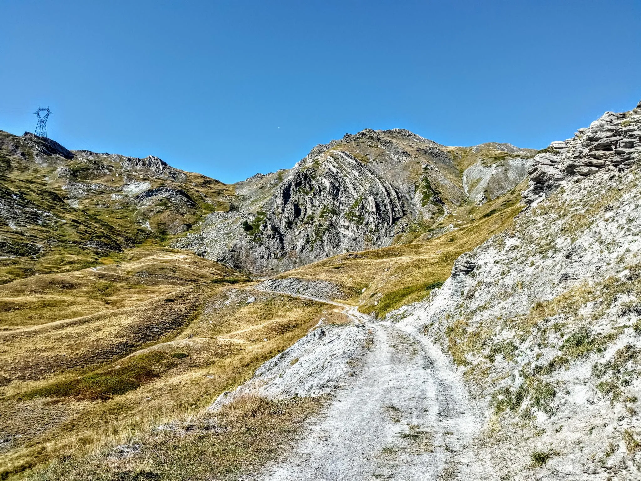
Between valleys and peaks – Ultra Gravel Tour des Alpes
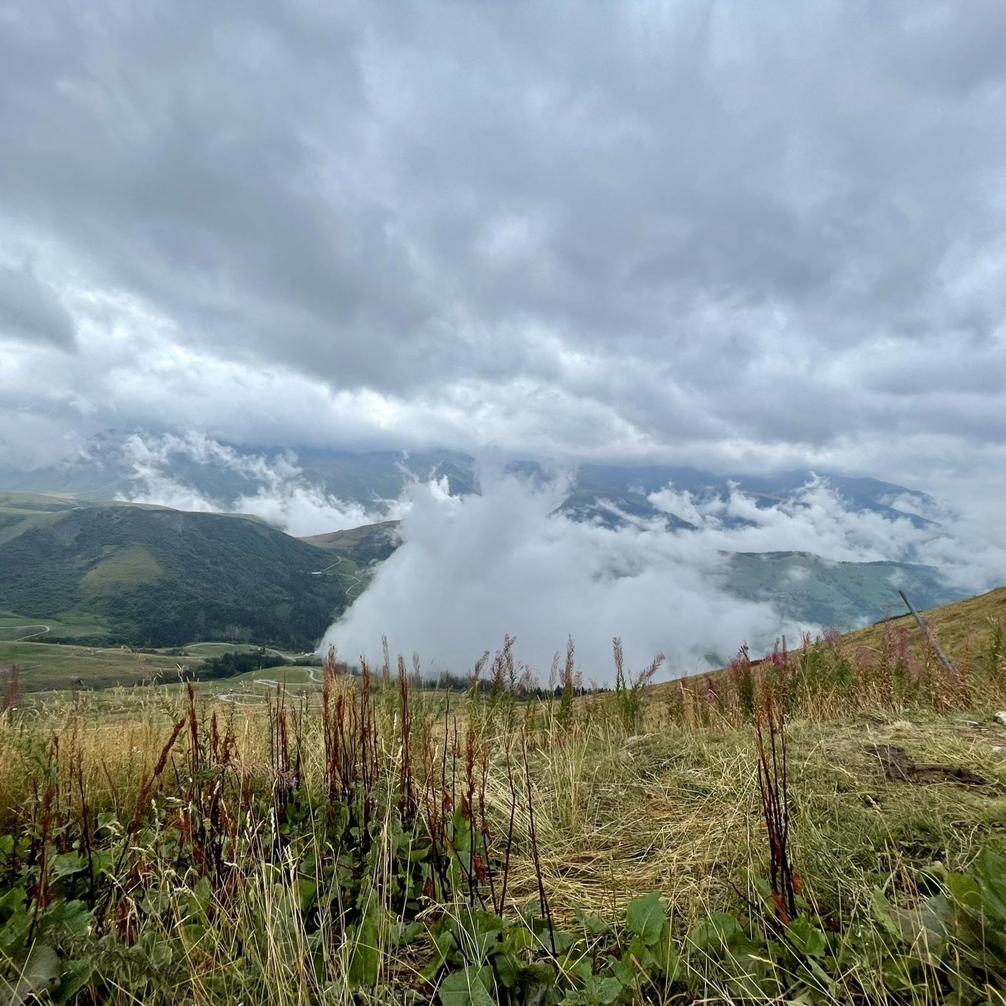
Hiking around Les Avanchers-Valmorel
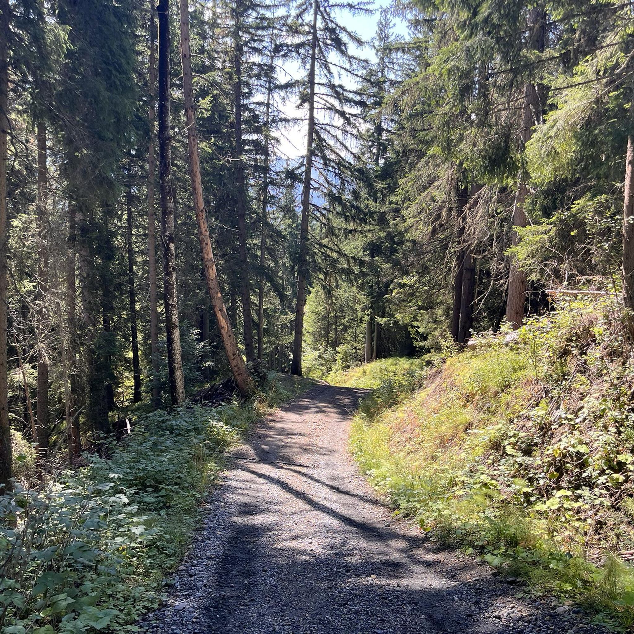
Running Trails around Les Avanchers-Valmorel
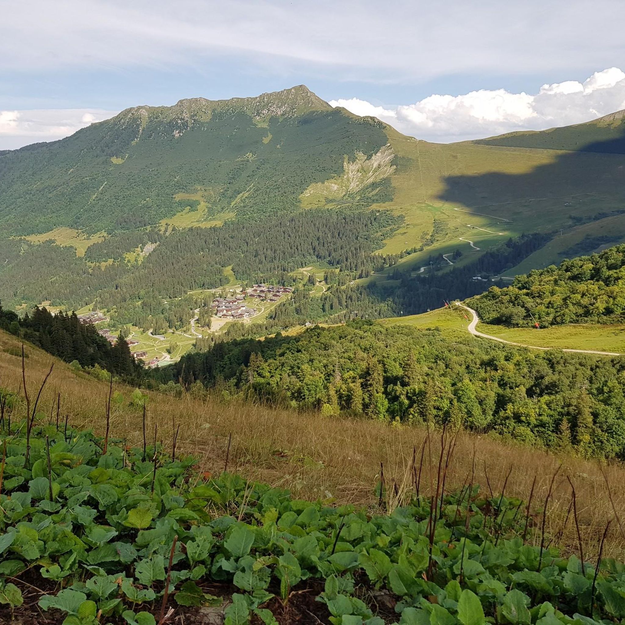
MTB Trails around Les Avanchers-Valmorel
Road Cycling Routes around Les Avanchers-Valmorel
Cycling around Les Avanchers-Valmorel

Mountain Hikes around Les Avanchers-Valmorel
Other adventures around Les Avanchers-Valmorel

Tips from the Community

As of May/2026, the quieter side ascent to Madeleine is buried by a scree avalanche in the last third.
0
0

This route offers a beautiful climb to the Col de la Madeleine with magnificent panoramas.
0
0

View towards the Mont Blanc massif from the Col de la Madeleine.
0
0

Beautiful climb and beautiful descent!!
0
0

there's a water tap at the mairie, a little hidden behind a bush. Right of the main entrence
0
0

Empty, a gas road 😱
0
0

Please note, this section will be closed in late June and early July 2025, as they resurface the route for the Women's Tour de France! The closure is announced at the very bottom of the valley, but it's not easy to see...
3
1
Frequently Asked Questions
How many gravel bike trails are available around Les Avanchers-Valmorel?
There are currently over 5 gravel bike routes documented around Les Avanchers-Valmorel on komoot, offering diverse experiences for riders. These routes have been explored by more than 45 gravel bikers in the community.
What kind of terrain can I expect on gravel bike routes in Les Avanchers-Valmorel?
Gravel biking in Les Avanchers-Valmorel features diverse alpine terrain with significant elevation changes. You'll encounter a mix of paved and unpaved roads, winding through forests and mountain pastures. The region's average elevation is around 1,486 meters, with peaks reaching 2,562 meters, providing varied and often challenging cycling experiences.
Are there challenging long-distance gravel routes in the Valmorel area?
Yes, Les Avanchers-Valmorel is known for its challenging routes. For instance, the Grignon Lake – Véloroute 62 loop from Montsapey is a difficult 81.6-mile (131.4 km) trail that involves significant distances and elevation gains, typically taking over 11 hours to complete. This region is even part of the 'Ultra Gravel Tour des Alpes' for experienced cyclists.
Are there any circular gravel bike routes in Les Avanchers-Valmorel?
Many of the gravel routes in the area are designed as loops. For example, the Viewpoint with benches – Picnic bench with great view loop from Hautecour is a challenging 21.0-mile (33.8 km) circular path that offers substantial climbing to scenic viewpoints.
What are the best times of year for gravel biking in Les Avanchers-Valmorel?
The best time for gravel biking in Les Avanchers-Valmorel is typically during the warmer months, from late spring to early autumn. This period offers more favorable weather conditions, with mountain passes generally clear of snow and trails through forests and pastures being accessible. Summer provides the most consistent conditions for exploring the high-altitude routes.
What viewpoints can I find along gravel bike routes in the Valmorel area?
The region offers numerous stunning viewpoints. The Viewpoint with benches – Picnic bench with great view loop from Hautecour specifically leads to scenic overlooks. Additionally, the summit of Crève-Tête, overlooking Valmorel, provides a 360-degree panoramic view that includes Mont Blanc and the Vanoise glaciers. You can also find the Croix de Feissons Viewpoint.
Are there any natural attractions or landmarks to see along the gravel bike trails?
Yes, the region is rich in natural beauty. You can find the View of the Cascade du Morel, a series of waterfalls, and the picturesque Lac Blanc. The iconic Col de la Madeleine, a legendary mountain pass, is also a prominent feature in the area, offering breathtaking scenic routes.
What do other gravel bikers enjoy most about gravel biking in Les Avanchers-Valmorel?
The area is highly rated by the komoot community, with an average score of 4.5 stars from over 4 reviews. Riders often praise the diverse alpine terrain, the challenging nature of the routes, and the stunning mountain scenery, including passes and valleys. The mix of paved and unpaved roads through forests and pastures is also a highlight for many.
Are there any gravel bike routes that pass through or near traditional villages?
Yes, many routes traverse the charming alpine landscape, often passing through or near traditional villages. For example, the Scenic Cycling Path – Climb to Naves loop from Moûtiers-Salins-Brides-les-Bains leads through varied terrain that includes glimpses of local life and architecture in the valleys.
Can I find routes suitable for a full day of gravel biking in the region?
Absolutely. Several routes are designed for longer excursions. The Saint-Martin-de-Belleville – Moulin Burdin loop from Salins-Fontaine is a substantial 39.2-mile (63.1 km) route that typically takes around 5 hours and 50 minutes, making it an excellent option for a full day's ride with significant elevation.
Is public transport available to access gravel trails around Valmorel?
While specific public transport connections directly to trailheads can vary, the region is generally accessible. Towns like Moûtiers-Salins-Brides-les-Bains, a starting point for routes like the Scenic Cycling Path – Climb to Naves loop, are often served by regional transport, which can help in reaching starting points for your gravel adventures.
Are there any less strenuous gravel routes for those looking for a moderate challenge?
While the region is known for its difficult routes, some options offer a slightly less intense experience compared to the longest and most challenging. The Bozel loop from Salins-les-Thermes, for instance, is a 17.6-mile (28.2 km) route with a more moderate elevation gain, typically completed in about 2 hours and 38 minutes, providing a good balance of challenge and accessibility.
Most popular routes around Les Avanchers-Valmorel
Most popular attractions around Les Avanchers-Valmorel

Get inspired with the komoot mobile app


Explore more
Browse the best Gravel rides in other regions.
