The best gravel rides around Ollomont
4.3
(3)
113
riders
7
rides
Gravel biking around Ollomont offers an authentic mountain experience within the Valpelline, characterized by expansive green areas, numerous tarns, and streams. The region features "white roads" winding through vineyards, forests, and villages, encircled by impressive peaks like the Grand Combin and Mont Vélan. Routes often follow historic "ru" irrigation channels and traverse enchanting woods, pastures, and alpine meadows alongside the Ayasse stream. The terrain includes both mostly paved paths and challenging unpaved segments.
Best gravel bike trails around Ollomont
- The…
Last updated: October 3, 2026
8
riders
16.1km
01:40
270m
270m
Moderate gravel ride. Good fitness required. Mostly paved surfaces. Suitable for all skill levels.
4.0
(1)
52
riders
51.3km
03:26
730m
730m
Hard gravel ride. Very good fitness required. Mostly paved surfaces. Suitable for all skill levels.

18
riders
28.8km
02:15
670m
670m
Hard gravel ride. Very good fitness required. Mostly paved surfaces. Suitable for all skill levels.
4.0
(1)
25
riders
40.5km
03:17
1,280m
1,280m
Hard gravel ride. Very good fitness required. Mostly paved surfaces. Suitable for all skill levels.
5.0
(1)
5
riders
19.6km
01:50
400m
400m
Moderate gravel ride. Good fitness required. Mostly paved surfaces. Suitable for all skill levels.
Get access to more routes and recommendations from other explorers.
Already have an account?
Our route recommendations are based on thousands of hikes, rides, and runs completed by other people on komoot.
Start today with a free account
Your next adventure awaits.
Popular around Ollomont

Alta Via n. 1 of the Aosta Valley — a walk among Italian giants
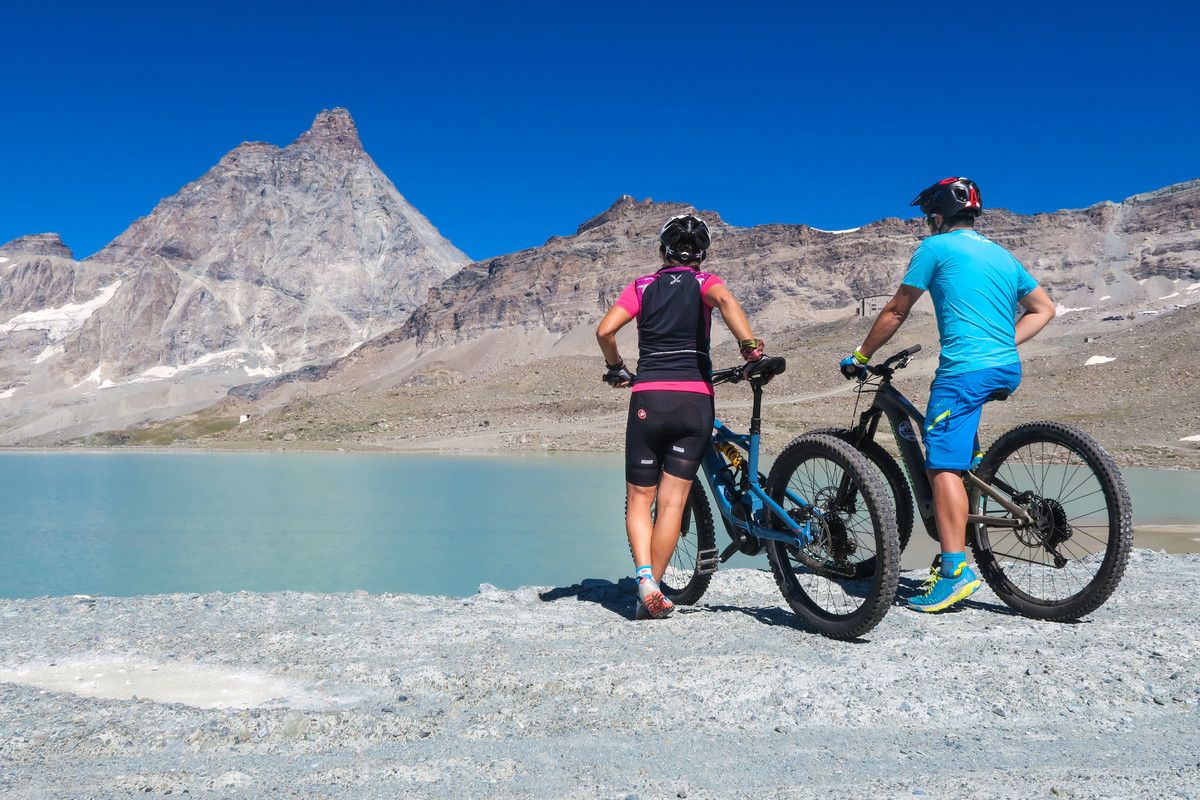
The Aosta Valley by MTB – between valleys and majestic peaks
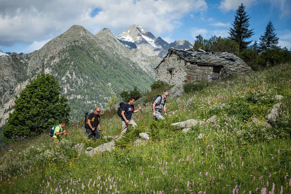
Hidden trails in the Aosta Valley – mountains you don't yet know
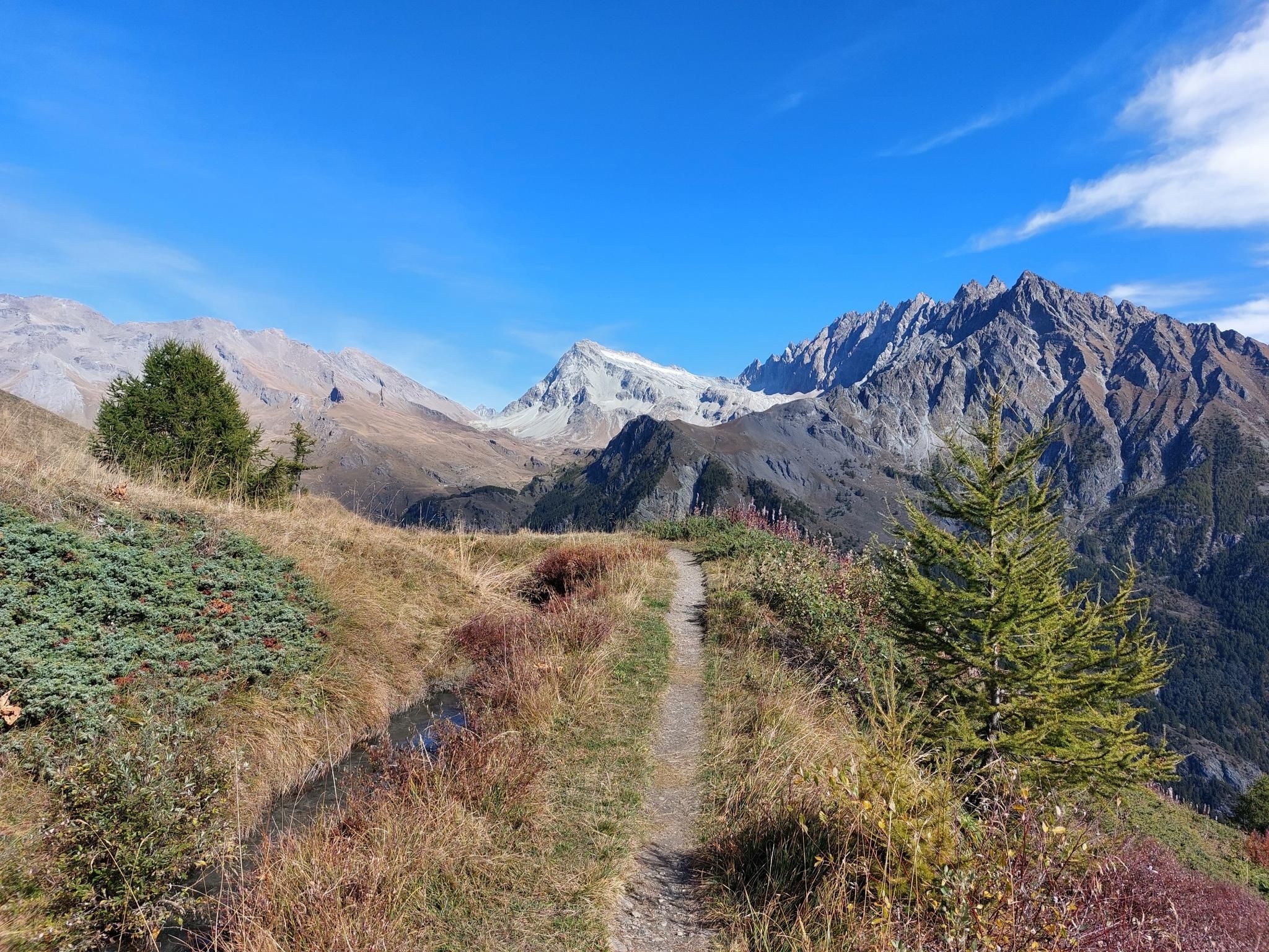
Tour des Combins - A jewel nestled between Mont Blanc and the Matterhorn

A walk among Italian giants — Aosta Valley High Route 1
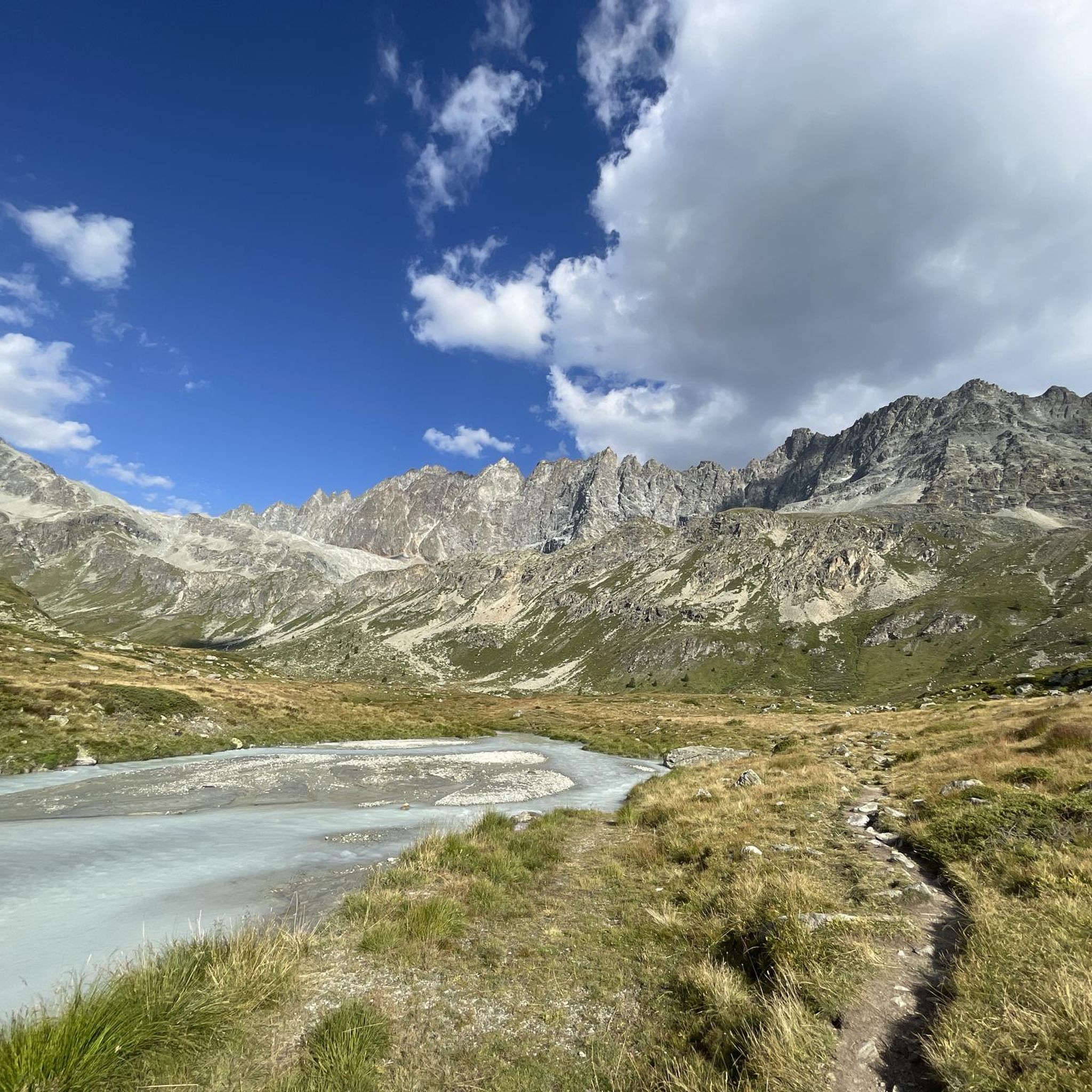
Hiking around Ollomont
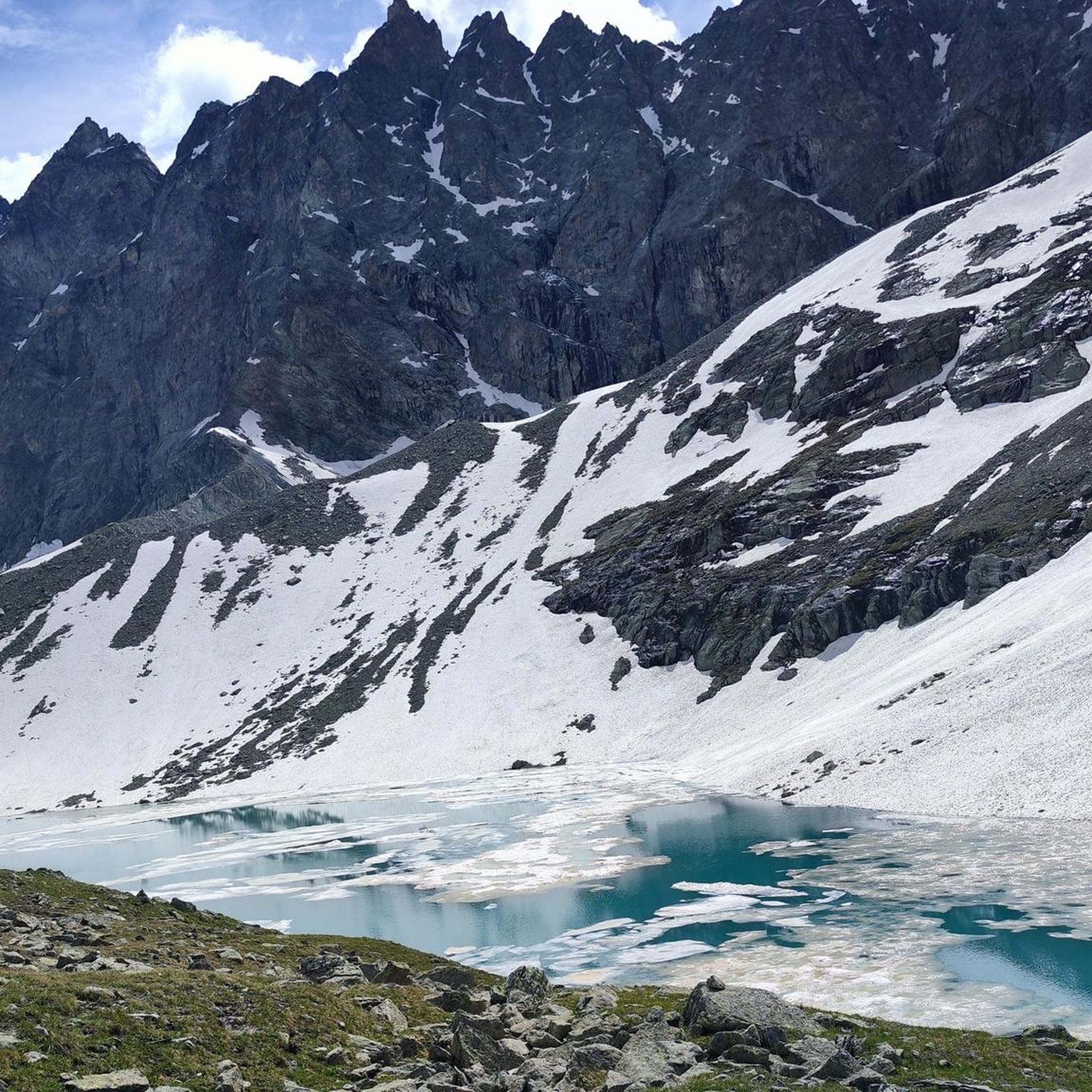
Road Cycling Routes around Ollomont
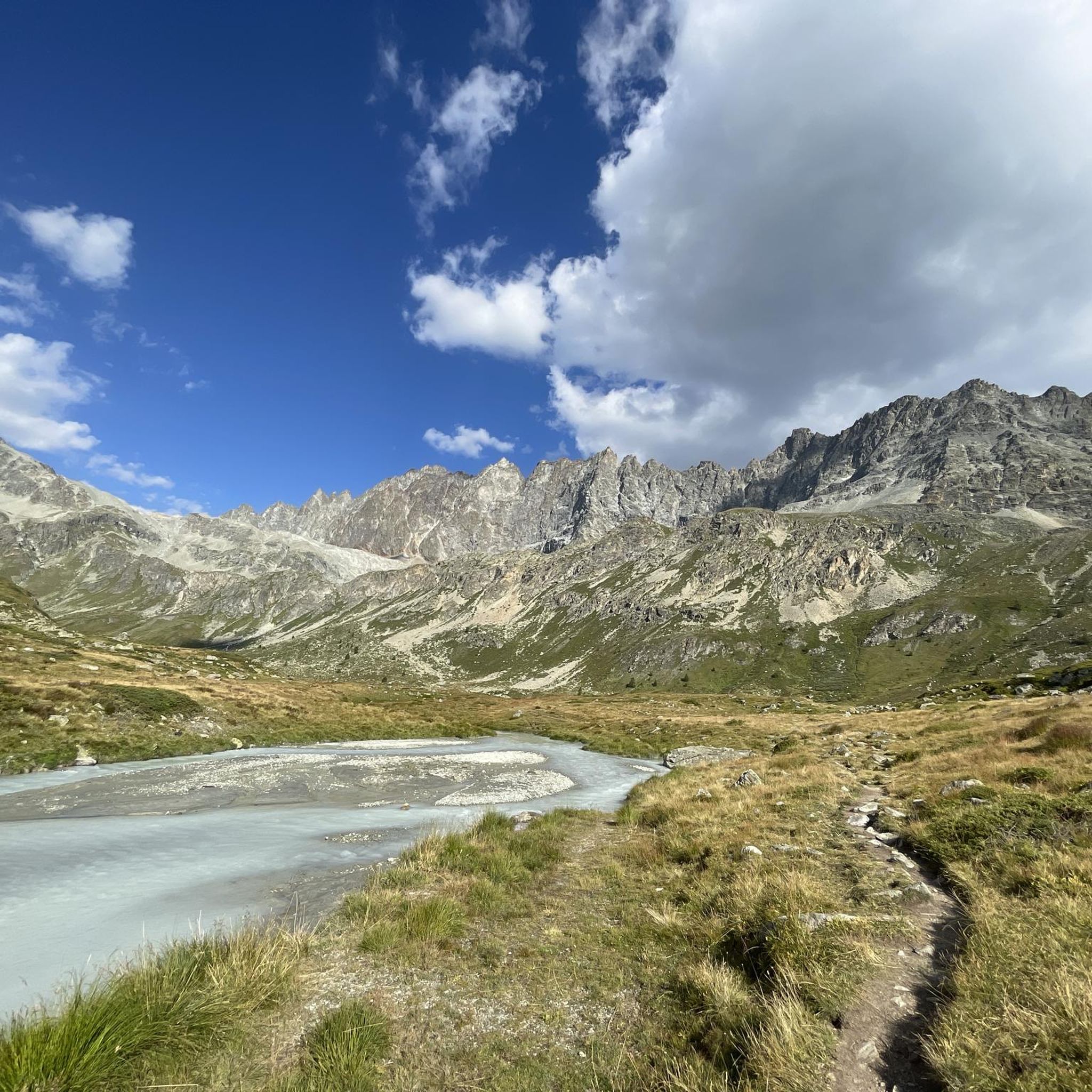
Cycling around Ollomont
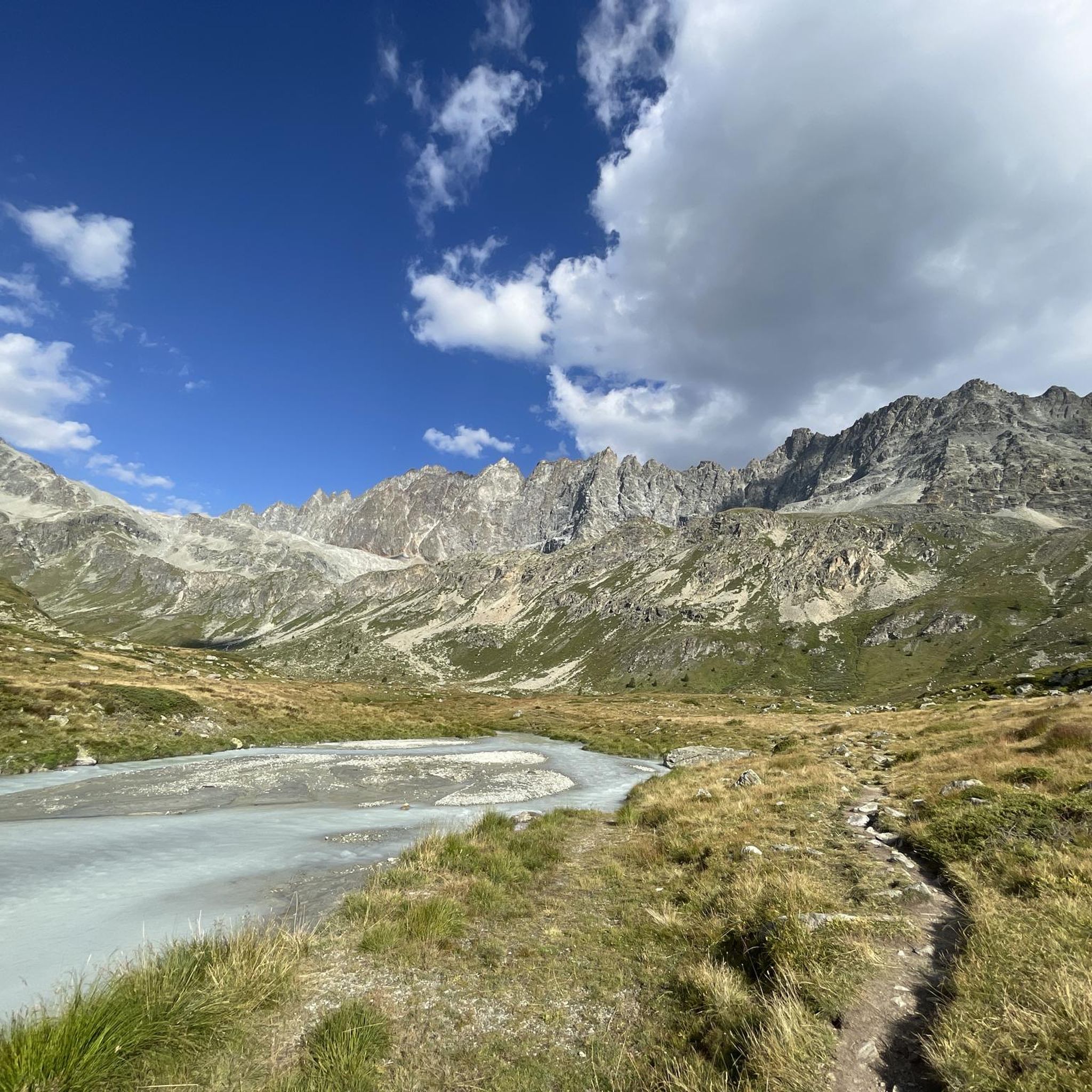
MTB Trails around Ollomont
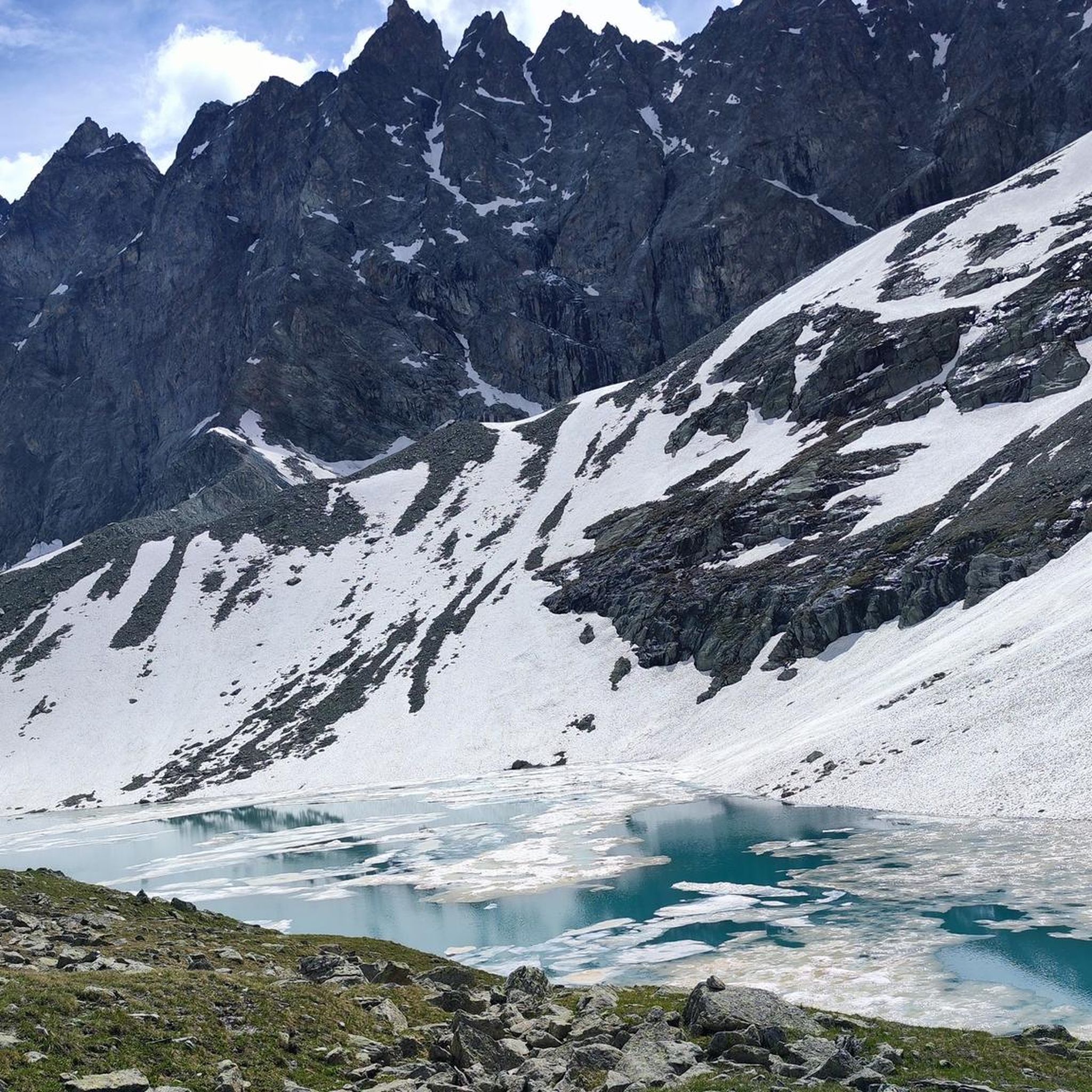
Running Trails around Ollomont
Other adventures around Ollomont


Tips from the Community

The crystal clear and very cool mountain water is channelled downhill for irrigation. An refreshing cool-down is ensured at any time.
0
0

Il Prarayer is an alpine plateau located at about 2000 meters above sea level, at the end of the Place-Moulin lake. It is reached by a simple path that runs along the lake, almost always flat. The environment is open, with meadows, small streams, and some alpine pasture buildings. The landscape is surrounded by high peaks and glacial environments, clearly visible in the background. The Rifugio Prarayer is located here, used as a base for longer excursions. The area is suitable for a quiet break after the walk along the lake. Itineraries to side valleys and high-altitude routes start from here. Despite the altitude, the setting remains accessible and not very demanding.
0
0
The Place Moulin dam is a majestic arch-gravity dam, designed to make the most of the narrow and incised conformation of the valley. Its concrete structure develops with a slight curvature, which allows the water's thrust to be transferred to the lateral rock walls, reducing direct pressure on the base and ensuring high stability. With a height of approximately 155 meters and a crest length of over 600 meters, it represents one of the most imposing hydraulic works in the Italian Alps. The artificial basin formed upstream reaches a capacity of over 100 million cubic meters of water, mainly fed by the Buthier stream and glacial meltwater. The plant is an integral part of a hydroelectric system: the accumulated water is conveyed through penstocks to power plants located downstream, where the head is transformed into energy. The management of levels is regulated by surface and bottom outlets, designed to control both floods and ordinary releases.
0
0
The Marmitta dei Giganti in Bionaz is a striking cavity carved into the rock that tells of the power of the alpine glaciers. It formed during the last ice age, when meltwaters, laden with sand and stones, channeled into powerful vortices: the debris, rotating ceaselessly, smoothed the rock to create this deep, almost perfectly shaped "pot". Alongside the scientific explanation, the charm of legend also survives: it is said that giants dug these cavities, using them as containers or leaving their superhuman strength imprinted on them. It is precisely this intertwining of nature and imagination that makes the place so fascinating.
0
0

This path runs along the Buthier stream and connects Porossan-Le Neyve to Roisan.
0
0
At this point, there's a covered rest area ideal for those pedaling these trails, complete with an e-bike charging station and a tire pump. From the rest area, you can enjoy a spectacular view of the valley floor, perfect for a relaxing break during your hike or bike ride.
1
0

This climb is something incredible: it doesn't have difficult gradients but it's long, very long, endless. You reach a point where you almost hate it: you've been cycling for well over an hour and still can't see the summit, you're running out of energy and the wind keeps whipping your face, you'd like to throw your bike away and say "Enough! I'm stopping here"... but it's only for a moment, because you're the one who chose to face it and you knew perfectly well what you were getting into; you set off again with more grit than before and tackle those last few km of road with all your remaining strength. And then you enter the tunnel, there you start to realize you've made it, you come out, follow the road that turns slightly to the left and, as if in a dream, the lake appears. You reach the top and think about how many people throughout the centuries have traveled this road: Salassi, Romans, monks, migrants, Napoleonic soldiers... you realize you are in a place where History is dense and nature is stunning, and there you can only love this hill
8
0

very, very iron-rich water
0
0
Frequently Asked Questions
How many gravel bike trails are available around Ollomont?
Ollomont offers a selection of 9 gravel bike trails, catering to various skill levels. While there are no easy routes, you'll find 2 moderate and 7 difficult trails to explore the region's diverse landscapes.
What kind of terrain can I expect on gravel bike trails in Ollomont?
Gravel biking in Ollomont features a mix of terrain, from mostly paved paths suitable for beginners to challenging unpaved segments that may require good fitness. You'll encounter "white roads" winding through vineyards, forests, and villages, often following historic "ru" irrigation channels and traversing enchanting woods, pastures, and alpine meadows alongside the Ayasse stream. Some routes, like the Beautiful trail along the – Ru Neuf Canal Path loop from Arpuilles, offer high-altitude panoramas.
Are there any family-friendly gravel biking options in Ollomont?
While many routes in Ollomont are rated moderate to difficult, the region does offer paths that can be enjoyed by families, especially those with some biking experience. The historic "ru" irrigation channels often provide unique cycling paths through varied landscapes. For a less strenuous experience, look for routes with mostly paved sections. Always check the difficulty and elevation profile before heading out with children.
Can I bring my dog on the gravel bike trails in Ollomont?
The Valpelline region, where Ollomont is located, is generally welcoming to dogs on trails, provided they are kept under control, especially in areas with livestock or wildlife. It's always best to keep your dog on a leash and ensure you clean up after them. There are no specific regulations prohibiting dogs on gravel bike trails mentioned, but always be respectful of other trail users and the natural environment.
What are some notable natural features or landmarks to look out for on the trails?
Ollomont's gravel trails offer stunning natural beauty and historical landmarks. You can ride past impressive peaks like the Grand Combin and Mont Vélan, explore the pristine Valpelline valley, or discover the wide green pastures of the Conca di By. The Place Moulin Dam is a prominent attraction, creating an impressive reservoir. You might also encounter the Great St Bernard Hospice on routes like the Great St Bernard Hospice – Col du Grand Saint-Bernard loop from Étroubles, or even a picturesque waterfall near the hamlet of Barliard.
Are there any circular gravel bike routes in the Ollomont area?
Yes, several gravel bike routes around Ollomont are designed as loops, allowing you to start and end in the same location. Examples include the Giro dei Ru di Roisan, which explores historic irrigation channels, and the challenging Beautiful trail along the – Ru Neuf Canal Path loop from Arpuilles. Another option is the Place Moulin Dam and Lake – Place Moulin Dam loop from Valpelline, offering scenic views of the dam.
What is the best time of year for gravel biking in Ollomont?
The best time for gravel biking in Ollomont is typically from late spring through early autumn (May to October). During these months, the weather is generally milder, and the trails are free of snow, offering expansive green areas and pleasant conditions for riding. Always check local weather forecasts before your trip, as mountain weather can change rapidly.
Where can I find parking for gravel biking in Ollomont?
Ollomont and the surrounding villages in Valpelline generally offer parking facilities, especially near trailheads or in village centers. Specific parking areas are often available in towns like Valpelline or Étroubles, which serve as starting points for many routes, such as the Place Moulin Dam and Lake – Place Moulin Dam loop from Valpelline. Look for designated parking signs upon arrival.
Is public transport available to reach Ollomont for cycling?
Ollomont is located in the Valpelline, a less-frequented area, but it is accessible by public transport, primarily buses from Aosta. While direct routes might be limited, you can often reach nearby larger towns by bus and then cycle or take a local connection to Ollomont. It's advisable to check the regional bus schedules in advance, especially if you plan to bring your bike.
Are there any specific regulations or permits needed for gravel biking in Ollomont?
Generally, no specific permits are required for gravel biking on public trails in the Ollomont area. However, it's essential to respect local regulations, such as staying on marked paths, being mindful of private property, and adhering to any rules regarding protected natural areas. Always practice Leave No Trace principles to preserve the pristine environment of the Valpelline.
What do other gravel bikers enjoy the most about gravel biking in Ollomont?
The gravel biking experience in Ollomont is highly rated by the komoot community, with an average score of 4.75 stars from over 6 reviews. Riders often praise the authentic mountain experience, the wild and less-frequented environment, and the dramatic backdrops of impressive peaks. The unique routes along historic "ru" irrigation channels and through enchanting woods and alpine meadows are also frequently highlighted.
Can I find food and drink options along the gravel bike routes?
While Ollomont itself has some local amenities, the trails often lead through wilder, less-populated areas. It's recommended to carry sufficient water and snacks, especially on longer routes like the Place Moulin Dam – Prarayer Hut loop from Oyace. Some routes may pass through small villages or near mountain huts, such as the Great St Bernard Hospice, where you might find refreshments. Always plan your stops in advance.
Are there options for advanced gravel bikers seeking a challenge?
Absolutely. Ollomont offers several challenging routes for experienced gravel bikers. Out of the 9 available trails, 7 are rated as difficult, featuring significant elevation gain and demanding terrain. For instance, the Great St Bernard Hospice – Col du Grand Saint-Bernard loop from Étroubles is a 40.3 km trail with over 1200 meters of ascent, leading through mountainous terrain. These routes often require good fitness and may involve sections where pushing your bike is necessary.
Most popular routes around Ollomont
Most popular attractions around Ollomont

Get inspired with the komoot mobile app


Explore more
Browse the best Gravel rides in other regions.
