The best walks and hikes around Colobraro
3.5
(4)
21
hikers
4
hikes
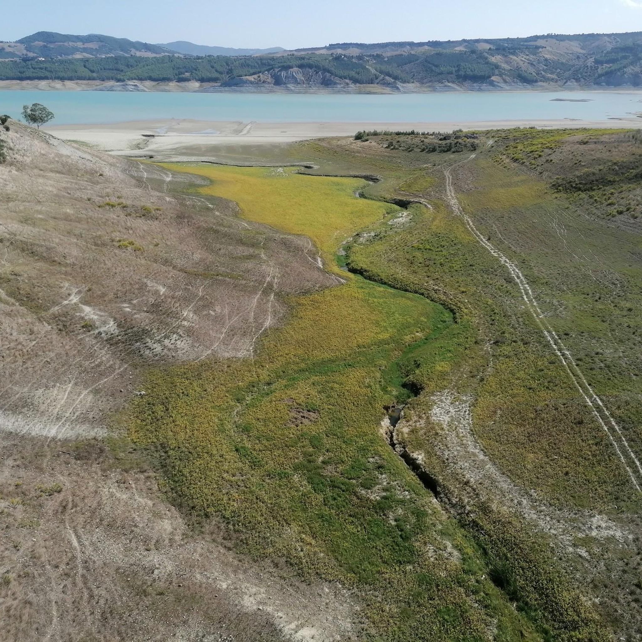
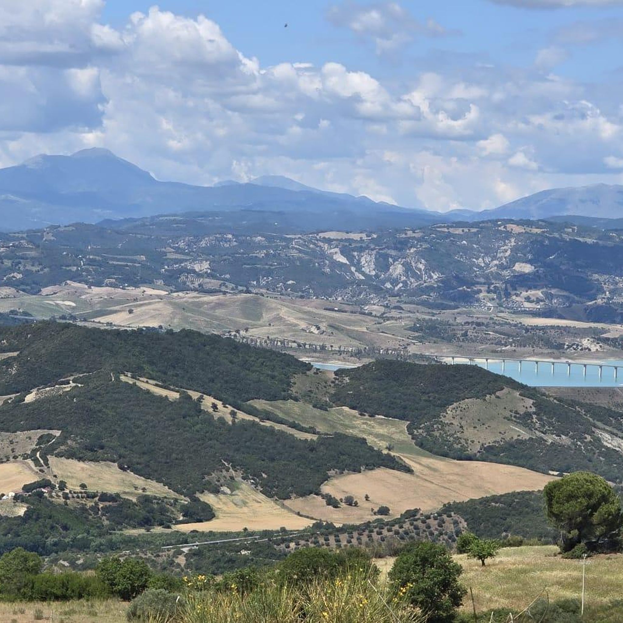
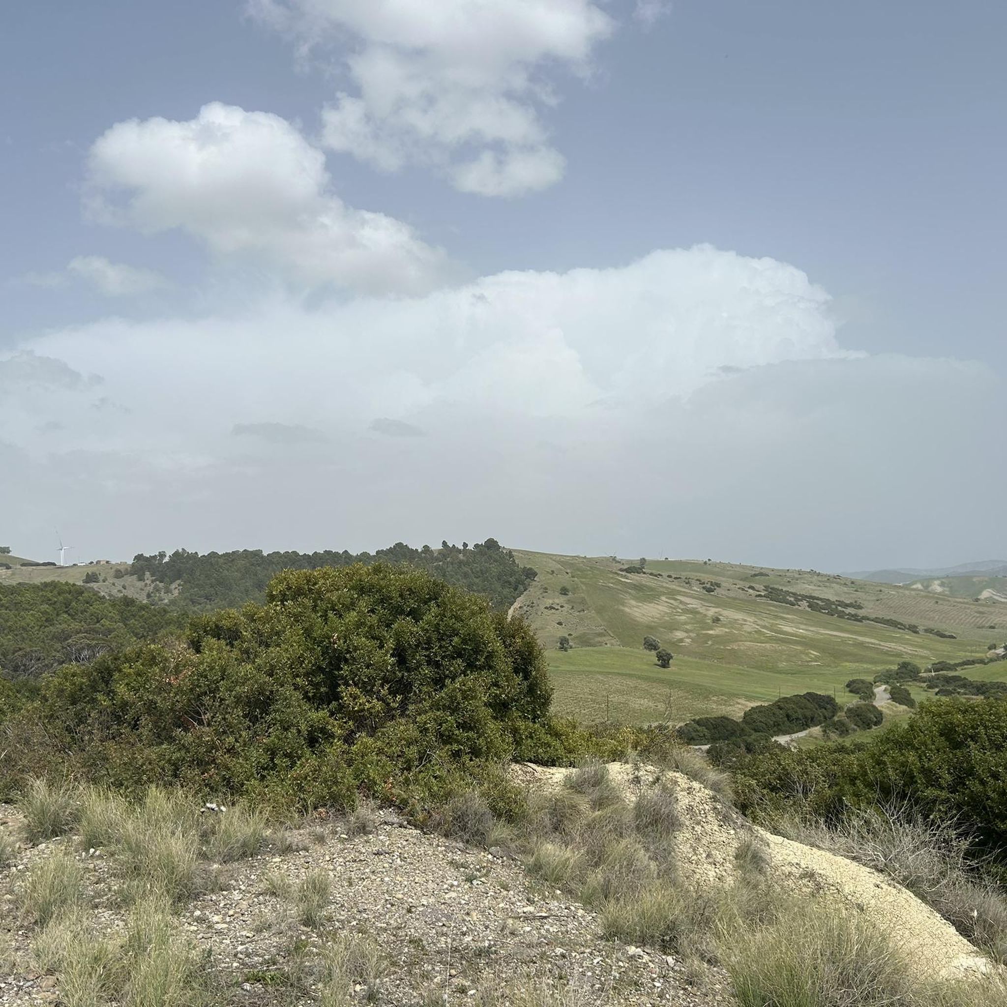
Hiking trails around Colobraro are situated in the Pre-Apennine Mountains, offering diverse and scenic landscapes. The region is characterized by its elevated position at 665 meters, providing expansive views of the Ionian Sea, Gulf of Taranto, and the Pollino Mountain range. Hikers can explore the picturesque Sinni River valley, traverse green woods composed of oaks, and encounter unique geological formations known as calanchi. This varied terrain provides a range of hiking experiences.
Best hiking trails around Colobraro
- The most popular…
Last updated: June 29, 2026
4.0
(1)
7
hikers
9.44km
02:43
240m
240m
Moderate hike. Good fitness required. Easily-accessible paths. Suitable for all skill levels.
3.5
(2)
8
hikers
6.96km
02:07
220m
220m
Moderate hike. Good fitness required. Easily-accessible paths. Suitable for all skill levels.

Sign up for free
3.0
(1)
1
hikers
9.20km
02:34
180m
180m
Moderate hike. Good fitness required. Easily-accessible paths. Suitable for all skill levels.
1
hikers
3.63km
01:11
140m
140m
Moderate hike. Great for any fitness level. Mostly accessible paths. Sure-footedness required.
4
hikers
13.3km
03:51
340m
330m
Moderate hike. Good fitness required. Easily-accessible paths. Suitable for all skill levels.
Our route recommendations are based on thousands of hikes, rides, and runs completed by other people on komoot.
Start today with a free account
Your next adventure awaits.
Login or Signup
Popular around Colobraro
Tips from the Community

There's no longer a definite path here. When it rains, everything floods, and it was also a bit muddy and sticky. Just follow the animal tracks. But a few meters further on, the path continues uphill again, along a small trail.
0
0


Rabatana, a picturesque district of Tursi, presents itself as a fascinating succession of narrow streets and houses built in stone, preserving its authenticity and history intact. This ancient village, dominated by the Marchesale castle, is known for its traditional architecture and breathtaking views of the surrounding countryside.
1
0

Rabatana (fortified village, from Arabic) stands on the highest spur of Tursi, the "Timpa". It was the first inhabited area of the entire city: first by the Goths in the 5th century and then by the Arabs, who fortified it on suggestive ravines, "i jaramme"
1
1
Frequently Asked Questions
What kind of landscapes can I expect to see while hiking around Colobraro?
Colobraro offers a diverse range of landscapes, from the panoramic views of the Ionian Sea and Gulf of Taranto to the majestic Pollino Mountain range. You'll also encounter the picturesque Sinni River valley, lush green woods of oaks and turkey oaks, and unique geological formations known as calanchi (badlands) in areas like Tursi and Fiumesini.
Are there any circular hiking routes available in Colobraro?
Yes, several routes around Colobraro are designed as loops, allowing you to start and end in the same location. Examples include the Rabatana loop from Tursi, which explores the historic quarter, and the Through the Valley – Amid the Badlands loop from Casa del Malato, offering unique geological sights.
What are some interesting sights or landmarks to look out for on the trails near Colobraro?
Hikers can discover several points of interest. Don't miss the historic Rabatana Historic Quarter in Tursi, or the stunning View of the Sinni Valley. You can also find the Belvedere di Colobraro for expansive vistas and a View of Monte Cotugno Dam, Europe's largest dam.
What is the general difficulty level of hiking trails in the Colobraro area?
The trails around Colobraro are generally considered moderate in difficulty. They often involve varied elevations, offering rewarding climbs and descents through the Pre-Apennine Mountains, suitable for hikers with a reasonable level of fitness.
Are there any longer day hikes for experienced trekkers?
For those looking for a longer day out, the Hiking loop from Casa del Malato is a good option. It covers over 13 kilometers with significant elevation gain, providing a more extended and challenging experience through the region's diverse terrain.
What do other hikers enjoy most about hiking in Colobraro?
The komoot community rates the hiking experience in Colobraro highly, with an average score of 3.5 stars. Hikers often praise the stunning panoramic views, the unique geological formations of the badlands, and the peaceful atmosphere of the green woods.
Can I find trails that offer views of the Ionian Sea or mountains?
Absolutely. Colobraro's elevated position at 665 meters above sea level provides exceptional viewpoints. Many trails offer expansive views stretching eastward to the Ionian Sea and the Gulf of Taranto, and westward to the majestic Pollino Mountain range.
Are there any trails that pass through olive groves or similar agricultural landscapes?
Yes, you can experience the agricultural beauty of the region. The Pathway Among Olive Trees loop from Nova Siri is a prime example, guiding you through picturesque olive groves and offering a different perspective of the local landscape.
What is the best time of year to go hiking in Colobraro?
While specific data isn't provided, the Pre-Apennine Mountain climate generally suggests spring and autumn are ideal for hiking in Colobraro. These seasons offer pleasant temperatures and vibrant natural colors, avoiding the intense heat of summer and potential winter snows at higher elevations.
Are there any shorter, moderate hikes suitable for a quicker outing?
If you're looking for a shorter, yet still engaging, moderate hike, consider the Rabatana – Rabatana di Tursi loop from Tursi. At just over 3.6 kilometers, it offers a compact experience with historical and scenic elements without requiring a full day.
What kind of natural features are prominent in the Colobraro hiking area?
The region is characterized by its mountainous terrain, offering significant elevation changes and broad vistas. Key natural features include the Sinni River valley, extensive green woods dominated by oaks and turkey oaks, and the distinctive calanchi (badlands) formations. The nearby Lake Monte Cotugno, with Europe's largest dam, is also a notable point of interest.
Most popular attractions around Colobraro

Get inspired with the komoot mobile app


Explore more
Browse the best Hikes in other regions.
