Top 17 Mountain Passes around Bayrischzell
Mountain passes around Bayrischzell offer routes through the Bavarian Alps, connecting valleys and providing access to various natural features. This region is characterized by its mountainous terrain, with passes serving as key thoroughfares for exploration. Bayrischzell is situated amidst these landscapes, making it a central point for discovering different mountain routes. The area provides diverse experiences for those seeking to traverse its elevated paths.
Best mountain passes around Bayrischzell
- The most popular mountain passes is Großer Traithen Peak, a…
Last updated: September 29, 2026
Großer Traithen Peak
Highlight • Summit
Translated by Google •
Tip by

Summit of Hinteres Sonnwendjoch
Highlight • Summit
Translated by Google •
Tip by

Sign up now to discover places like this
Get recommendations on the best single tracks, peaks, & plenty of other exciting outdoor places.
Spitzing Saddle
Highlight • Mountain Pass
Translated by Google •
Tip by

Elend Saddle
Highlight (Segment) • Mountain Pass
Showing Translation
Tip by

Sudelfeld Pass Ascent
Highlight • Mountain Pass
Translated by Google •
Tip by

Sign up for free to discover even more mountain passes around Bayrischzell.
Already have an account?
Start today with a free account
Your next adventure awaits.
Popular around Bayrischzell
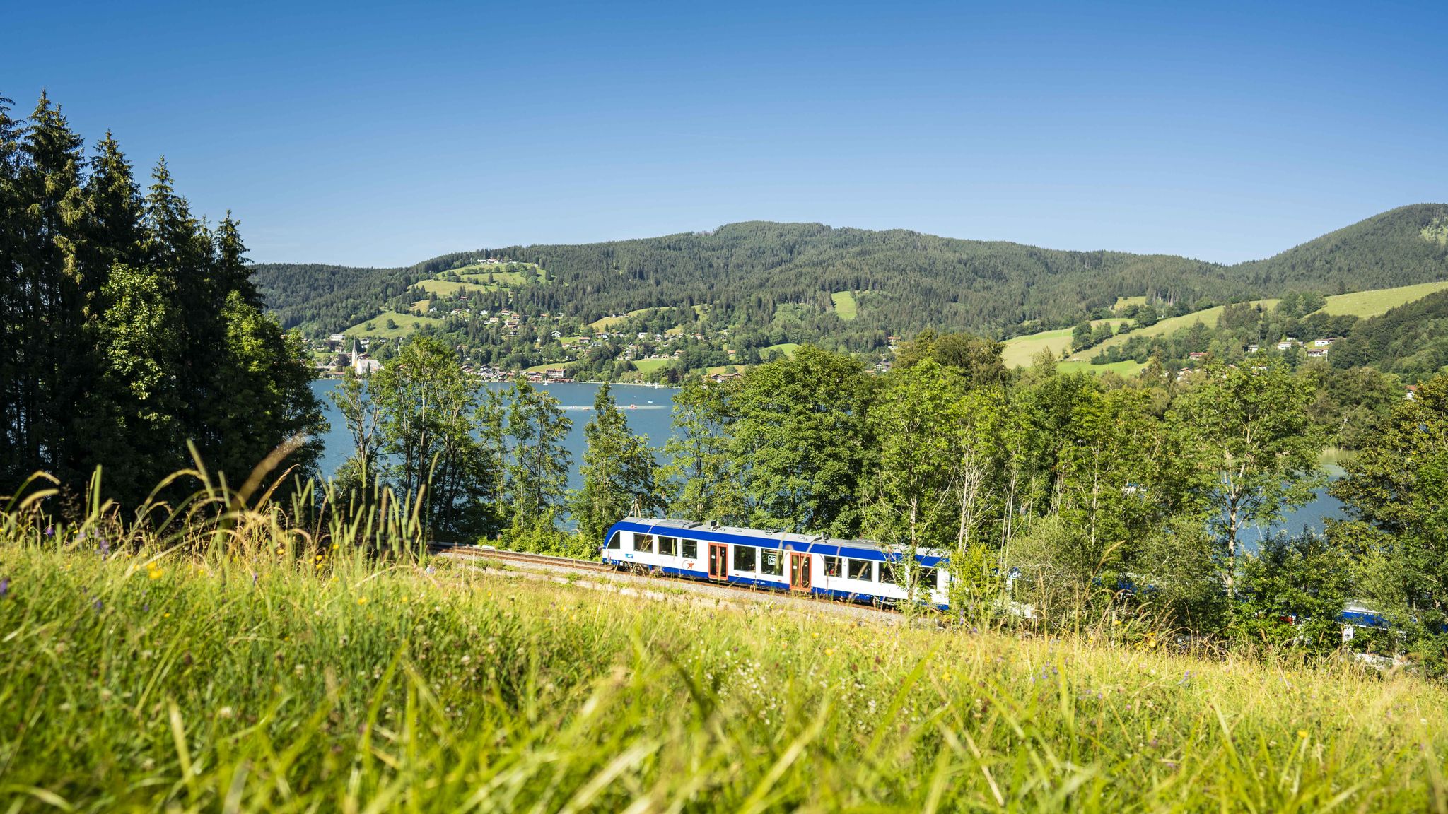
Mountain air by train – hiking in the BRB Network
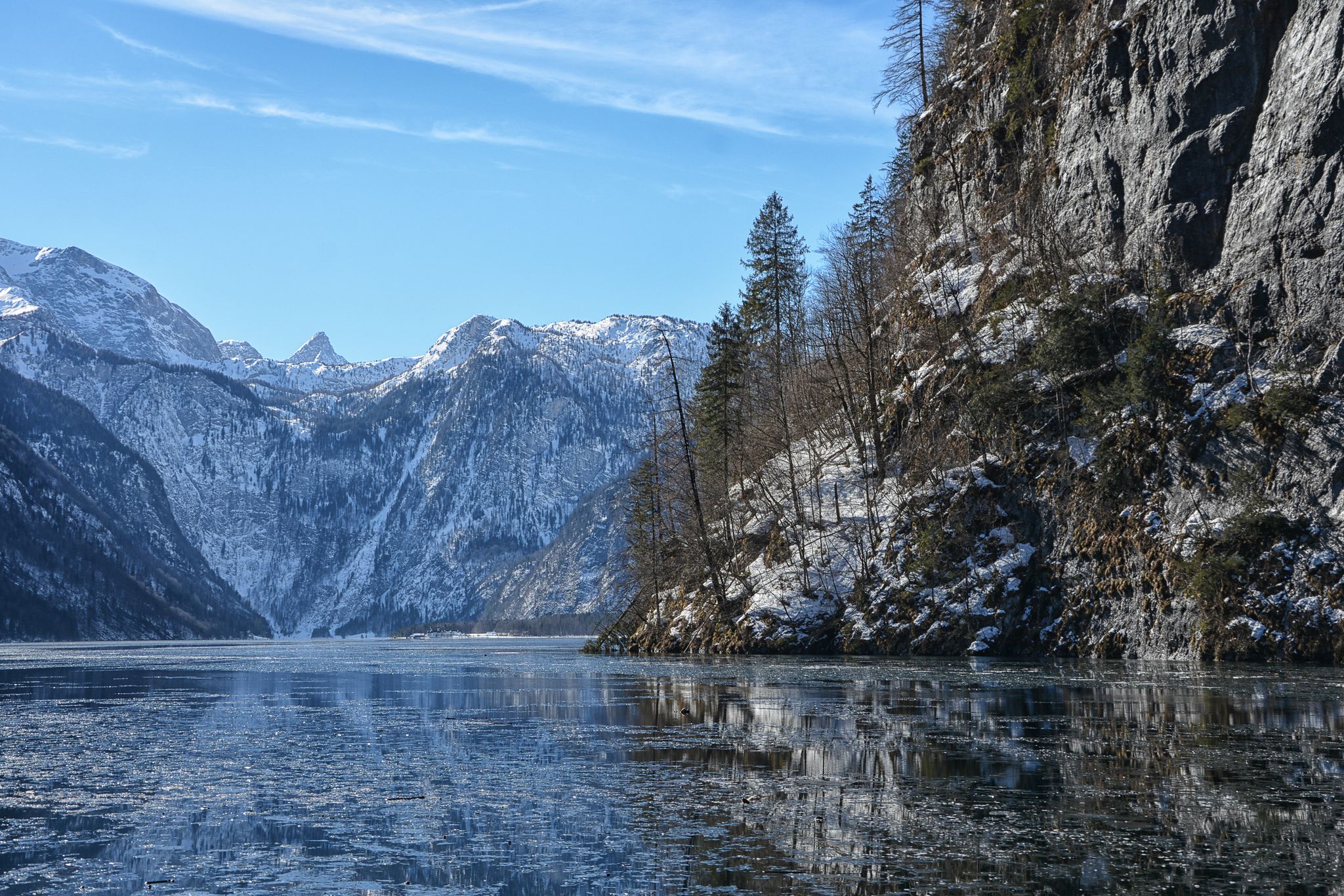
Winter in Upper Bavaria – 8 wonderful hikes
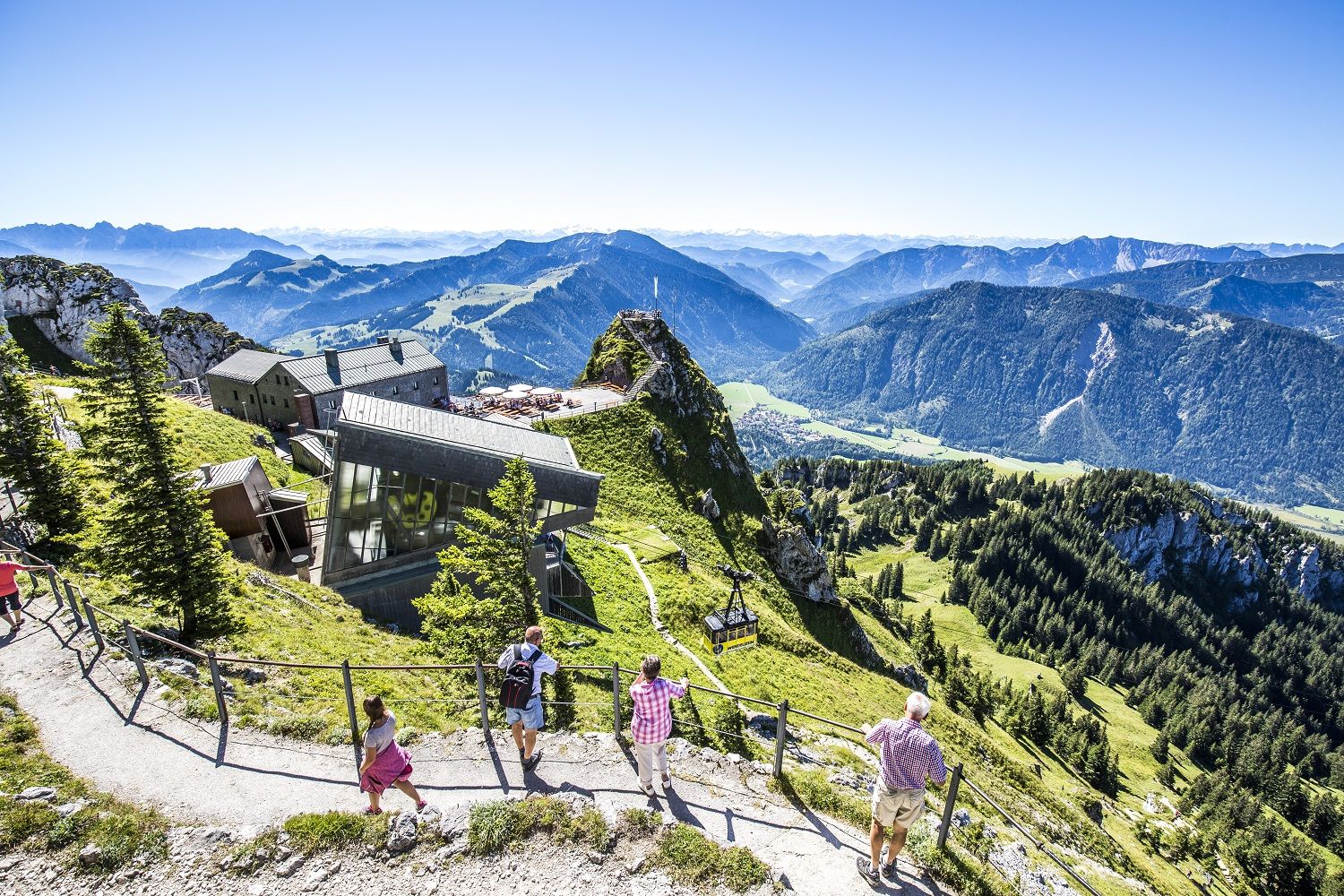
A little help to the top – mountain railways & cable cars in Chiemgau
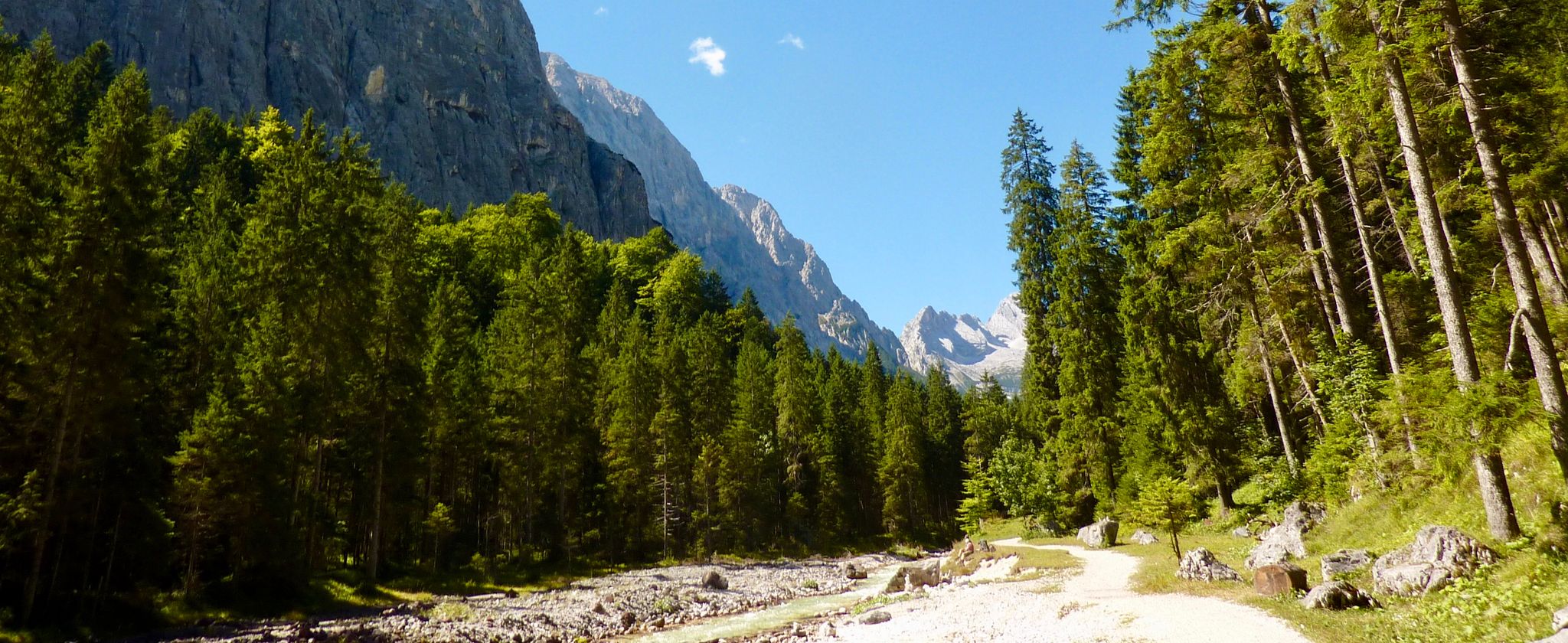
The Max Trail — across the Alps from West to East
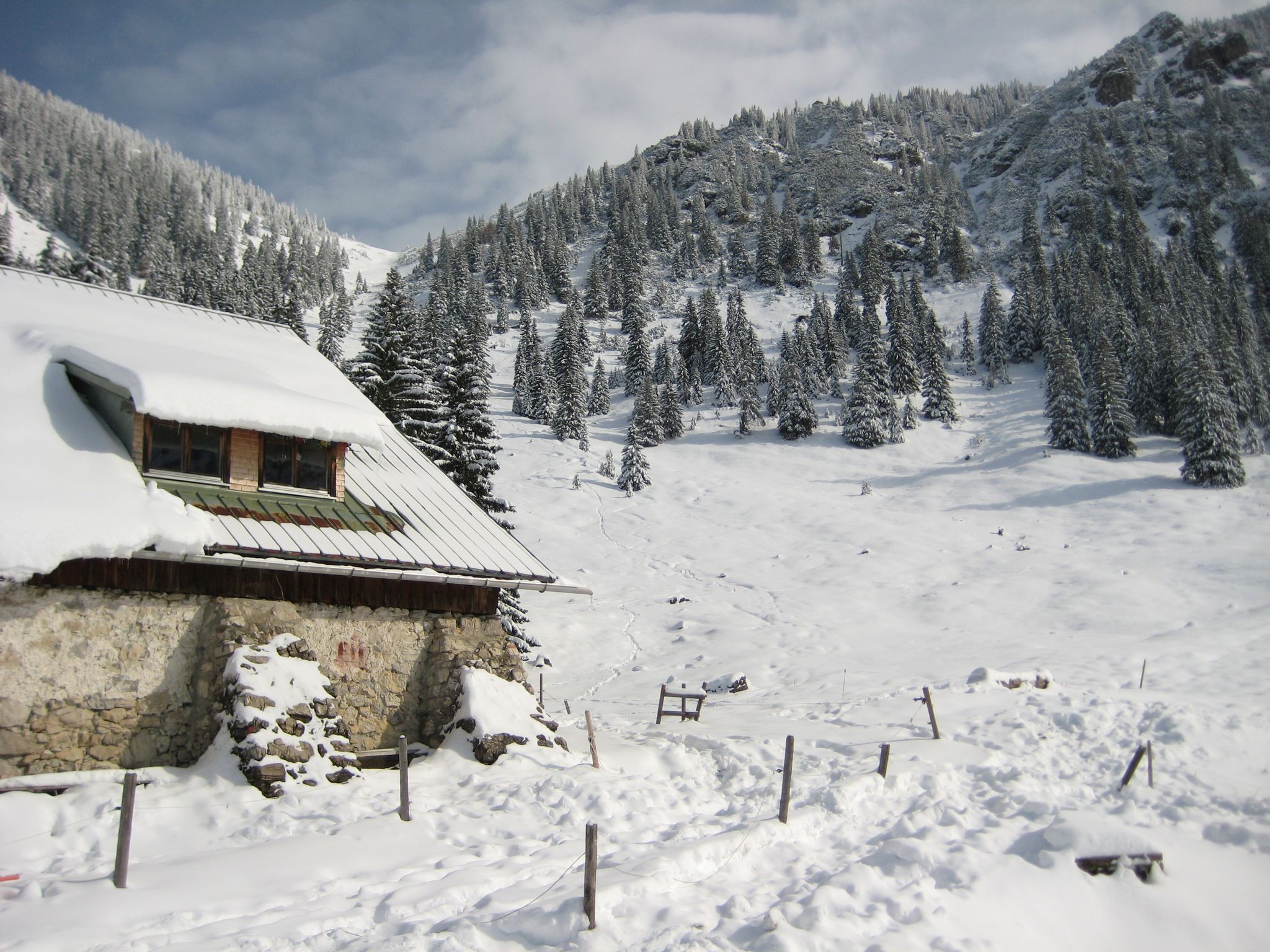
Southern Germany — mountain lodges for the cold season
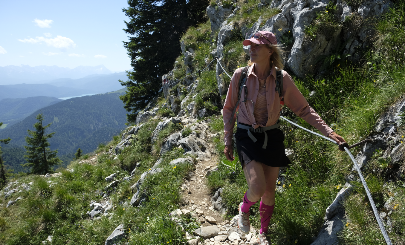
Zug um Zug: Alpentouren mit Öffis
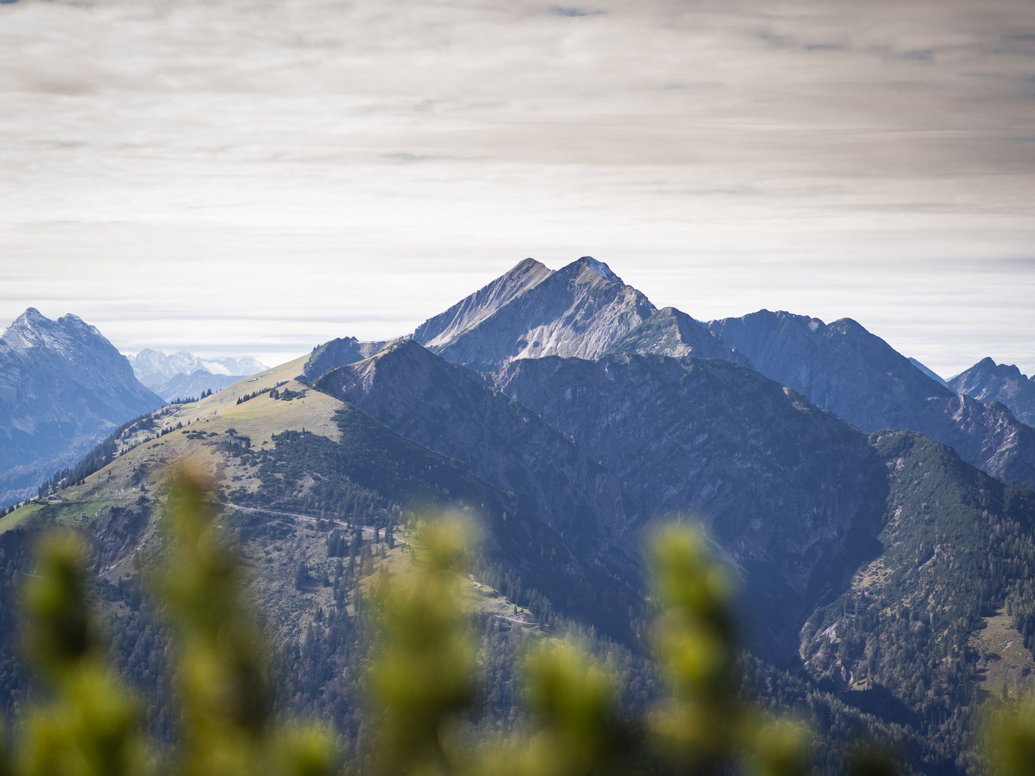
Hoch hinaus - Bergtouren in der Alpenregion Tegernsee Schliersee
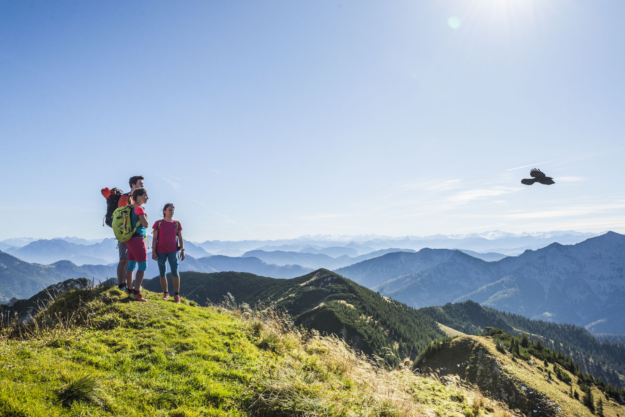
Wanderparadies Alpenregion Tegernsee Schliersee - Entdecken Sie de schönsten Touren
Hiking around Bayrischzell
Cycling around Bayrischzell
Other adventures around Bayrischzell


Tips from the Community

Every year from April 15 to May 15, access is prohibited due to bird breeding protection.
2
0

Beautiful climb! Can be extremely dangerous on slippery or wet surfaces.
0
0

Unfortunately, I was unlucky - on an otherwise sunny day, a bunch of clouds appeared on the summit right during my summit break, obscuring the view...
0
0

This is a prime, secluded vantage point because, as the highest in the Mangfall Mountains, it offers 🔝360-degree views. I don't have space here to list everything I saw. 🕶️ Not difficult, unless you want to continue scrambling toward Schönjöchel.
1
0

The highest peak in the district of Rosenheim. Nice crossing from the little brother in the north or from/to the Steilner Joch via the easy ridge path. You won't find hordes of mountain hikers here either.
4
0
A really worthwhile destination (1986 m) with wide views. The local neighbours such as Rotwand, Wendelstein, Schinder and Guffert are clearly visible, but the view extends to the main Alpine ridge and the Central Alps with the Großvenediger and Großglockner. The easiest way up is from the Ackernalm, only 600 metres in altitude and about two hours. The further route to the Krenspitze is easy (T2), after that it becomes uncomfortable (T5).
3
1

Nice climb with a great view down to Bayrischzell. In principle, it is in the blazing sun all day at noon.
1
0

At the moment 8€ fee per day. You can leave the car for several days.
5
1
Frequently Asked Questions
What are some challenging mountain passes or routes for experienced hikers near Bayrischzell?
For experienced hikers seeking a challenge, the ascent to Großer Traithen Peak offers panoramic views and climbing sections. Similarly, the Summit of Hinteres Sonnwendjoch, at almost 2,000 meters, provides a fabulous mountain panorama after a challenging climb. The Elend Saddle is also known for its challenging ascent from Valepp, rewarding perseverance with magnificent views.
Are there family-friendly mountain passes or routes suitable for families around Bayrischzell?
Yes, the Spitzing Saddle is considered family-friendly and serves as an excellent starting point for various hiking trails to nearby huts and lakes. Additionally, while not a pass, the routes leading to the Wendelstein summit, accessible via a historic cog railway or cable car, include the family-friendly Männlein-Weg.
What natural features and viewpoints can I expect to see from the mountain passes?
The mountain passes around Bayrischzell offer stunning natural beauty. From Großer Traithen Peak, you'll find wide views and a varied landscape. The Summit of Hinteres Sonnwendjoch provides a vast mountain panorama. The Sudelfeld Pass offers fantastic views, particularly towards the Wendelstein Peak. The Wendelstein summit itself boasts breathtaking panoramic views of approximately 200 mountain peaks.
What is the best time of year to visit the mountain passes around Bayrischzell?
The region is beautiful year-round, but the best time largely depends on your activity. For hiking and cycling, late spring through early autumn (May to October) generally offers the most favorable weather conditions. In winter, areas like Sudelfeld transform into ski resorts, and some passes might be less accessible for non-winter sports, though winter hiking can be rewarding on suitable trails.
Where can I find parking when visiting the mountain passes?
Parking is available at several key locations. The Spitzing Saddle has a parking lot, which is a common starting point for hikes. For the Sudelfeld Pass, parking is available at the Walleralm near the new reservoir. It's advisable to check if parking is chargeable at your chosen starting point.
Are there hiking trails near these mountain passes, and what are their difficulties?
Yes, there are numerous hiking trails. From the Spitzing Saddle, trails lead to Schönfeldhütte, Firstalm, or Spitzingsee. The Sudelfeld Pass is a starting point for hikes to peaks like Großer Traithen, Brünnstein, or Wendelstein. You can find a variety of routes, including difficult ones like the 'Auerspitz Summit – Soinsee (Soin Lake) loop from Sillberg' or moderate options like the 'View of Wendelstein – Wendelstein Chapel loop from Bayrischzell'. For more details on hiking routes, visit the Hiking around Bayrischzell guide.
What other outdoor activities can I do near the mountain passes in Bayrischzell?
Beyond hiking, the region offers a wide range of outdoor activities. Mountain biking is very popular, with trails like the 'Ackernalm Mountain Inn – Elendgraben Gravel Trail loop from Bayrischzell'. Running is also a great option, with routes such as the 'Breitenstein Summit – Schweinsberg Summit loop from Geitau'. For more information on these activities, explore the MTB Trails around Bayrischzell guide and the Running Trails around Bayrischzell guide.
What makes the Sudelfeld Pass a popular destination?
The Sudelfeld Pass, reaching 1,123 meters, is popular for its moderate slope, making it enjoyable for racing cyclists. It offers fantastic views towards the Wendelstein Peak and serves as a gateway to the Sudelfeld ski area in winter. It's also a starting point for various hikes to surrounding peaks and is part of the scenic German Alpine Road.
Are there any unique attractions at the summits accessible from the passes?
Yes, the Wendelstein summit, accessible from Bayrischzell, offers unique attractions including the historic Wendelstein Cave, Germany's highest church, and an observatory, all alongside its panoramic views. The Rotwand summit features the very popular Rotwandhaus, a mountain hut known for traditional Bavarian delicacies and overnight stays.
Can I find places to eat or stay overnight near the mountain passes?
Yes, several mountain huts and restaurants are located near the passes. The Rotwandhaus on the Rotwand summit is a popular mountain hut offering traditional Bavarian delicacies and overnight stays. The Spitzing Saddle also features a restaurant and cafe. For more options, you'll find cafes, pubs, and accommodation in Bayrischzell and the surrounding villages.
What do visitors enjoy most about the mountain passes around Bayrischzell?
Visitors frequently praise the fantastic views and varied tours. The challenging climbs to peaks like Großer Traithen Peak are rewarded with wide vistas. The sense of accomplishment after a challenging ascent, like that of the Elend Saddle, is often highlighted. The community appreciates the diverse routes for different activities and the stunning natural beauty of the Bavarian Alps.
Is public transport available to reach the mountain passes?
While specific direct public transport routes to every pass might be limited, Bayrischzell itself is connected by public transport. From Bayrischzell, you can access areas like Osterhofen, which serves as a starting point for routes to Wendelstein via cable car. For other passes, a combination of public transport to nearby villages and then hiking or cycling might be necessary.
Most popular routes around Bayrischzell
Most popular attractions around Bayrischzell

Get inspired with the komoot mobile app


Explore more
See even more epic mountain passes by checking out these guides around Bayrischzell:
