The 11 Most Amazing Peaks around Montferland
Best mountain peaks around Montferland are characterized by a hilly landscape rather than traditional mountains. The region, particularly the Bergherbos area, features several notable elevations popular for recreation and historical significance. Key points include the Hettenheuvel, the highest point, and the Montferland hill, home to the historic Motte Montferland. This area offers diverse natural environments and well-marked routes for exploration.
Best mountain peaks around Montferland
- The most popular mountain peaks is Emma Pyramid climb, a climb that features a…
Last updated: June 23, 2026
Emma Pyramid climb
Highlight (Segment) • Climb
Tip by

Zijpenberg Climb from Rozendaal
Highlight (Segment) • Climb
Translated by Google •
Tip by

Sign up now to discover places like this
Get recommendations on the best single tracks, peaks, & plenty of other exciting outdoor places.
Sign up for free
Hulzenberg Lookout Tower
Highlight • Viewpoint
Translated by Google •
Tip by

Zijpenberg Climb from Rheden via Posbank
Highlight (Segment) • Climb
Translated by Google •
Tip by

Koningsberg Hill
Highlight • Summit
The area has been restored, …
Translated by Google •
Tip by

Sign up for free to discover even more peaks around Montferland.
Sign up for free
Already have an account?
Start today with a free account
Your next adventure awaits.
Login or Signup
Popular around Montferland
Outdoor Achterhoek: Mountain biking in Doetinchem
Outdoor Achterhoek Gravel Routes
In the middle of nature - 20 accessible routes in Gelderland
Discover Gelderland in a wheelchair – 7 tours through nature
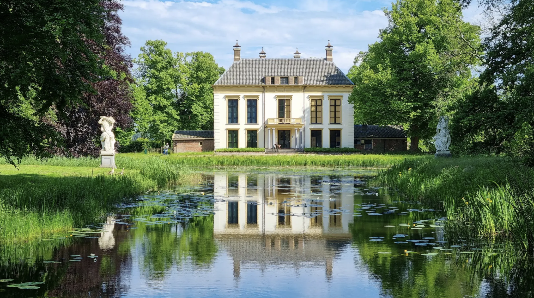
Walking through history - 8 beautiful routes along cultural heritage
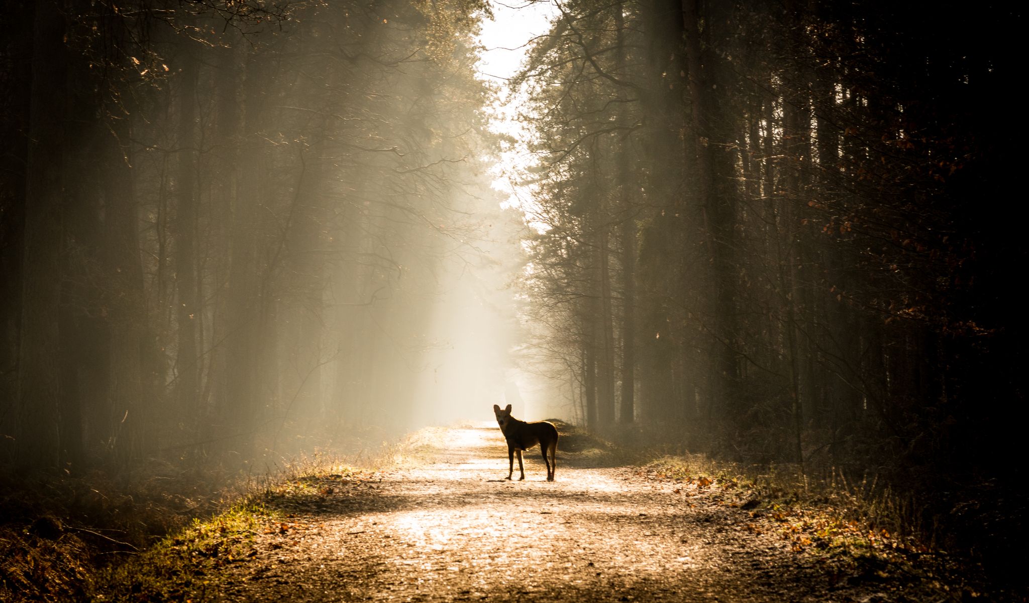
Sniffer routes – trail runs with your dog in Gelderland
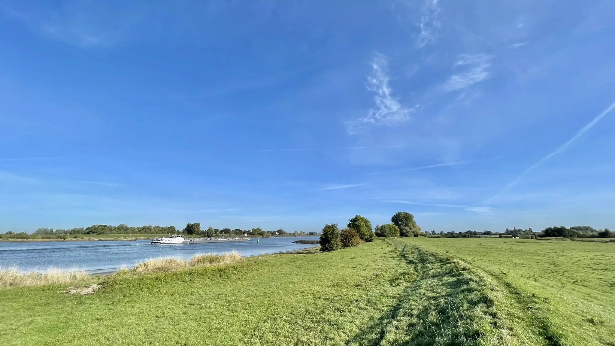
Dunes, bunkers, woods and fens – hiking off-the-beaten-track in the Netherlands
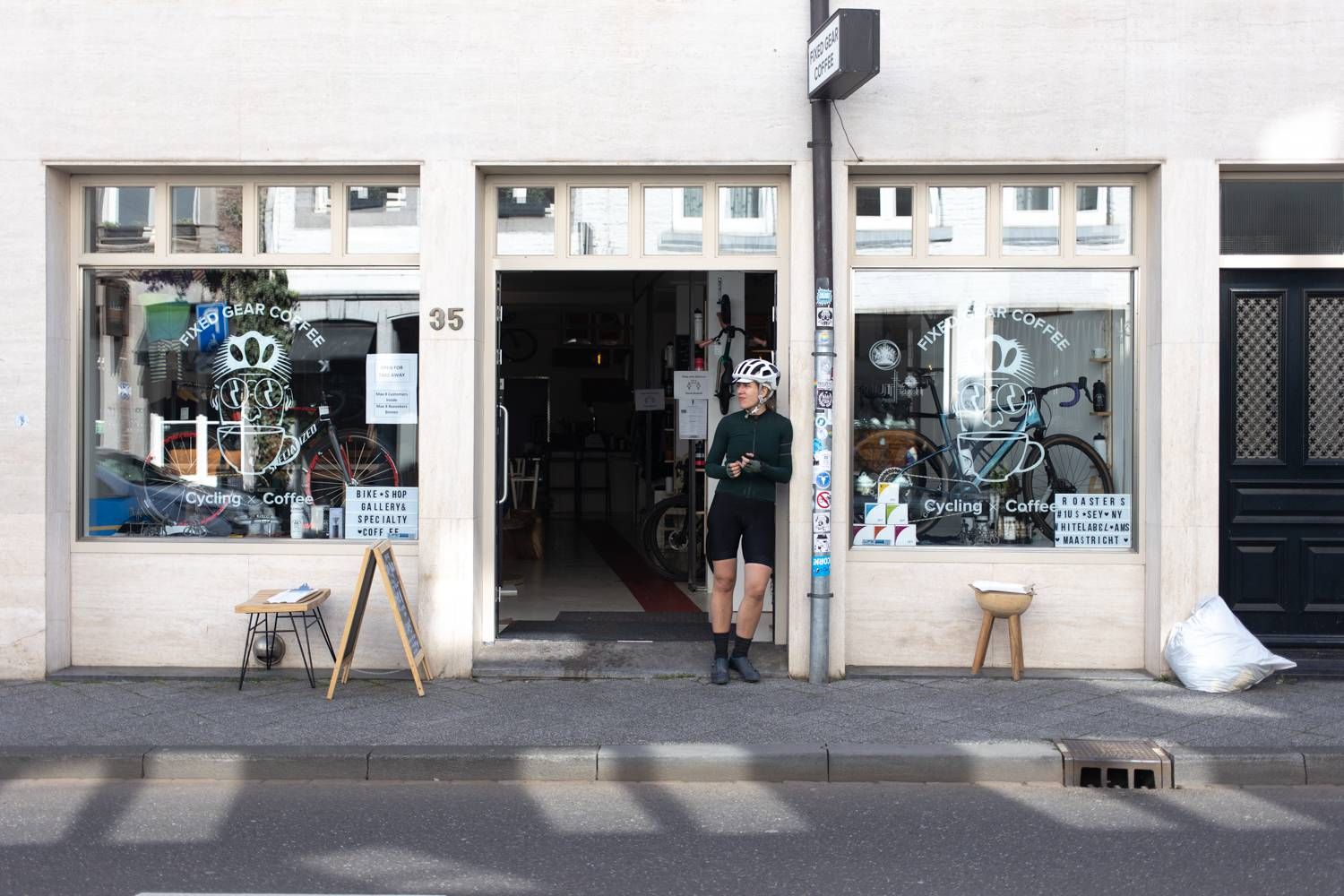
Coffee and racing – top bike rides from great cycling cafes
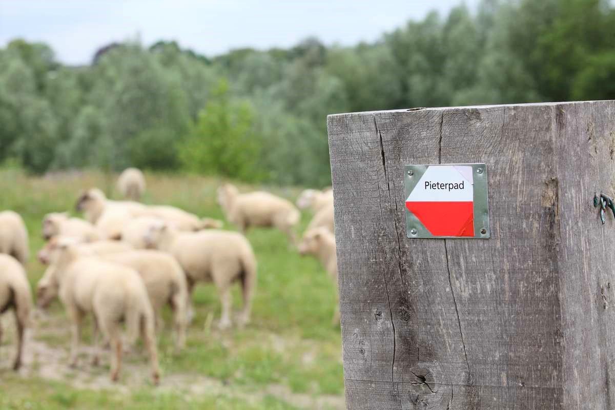
From Kasteel Vorden to the Sint-Pietersberg – Pieterpad long-distance hike part 2
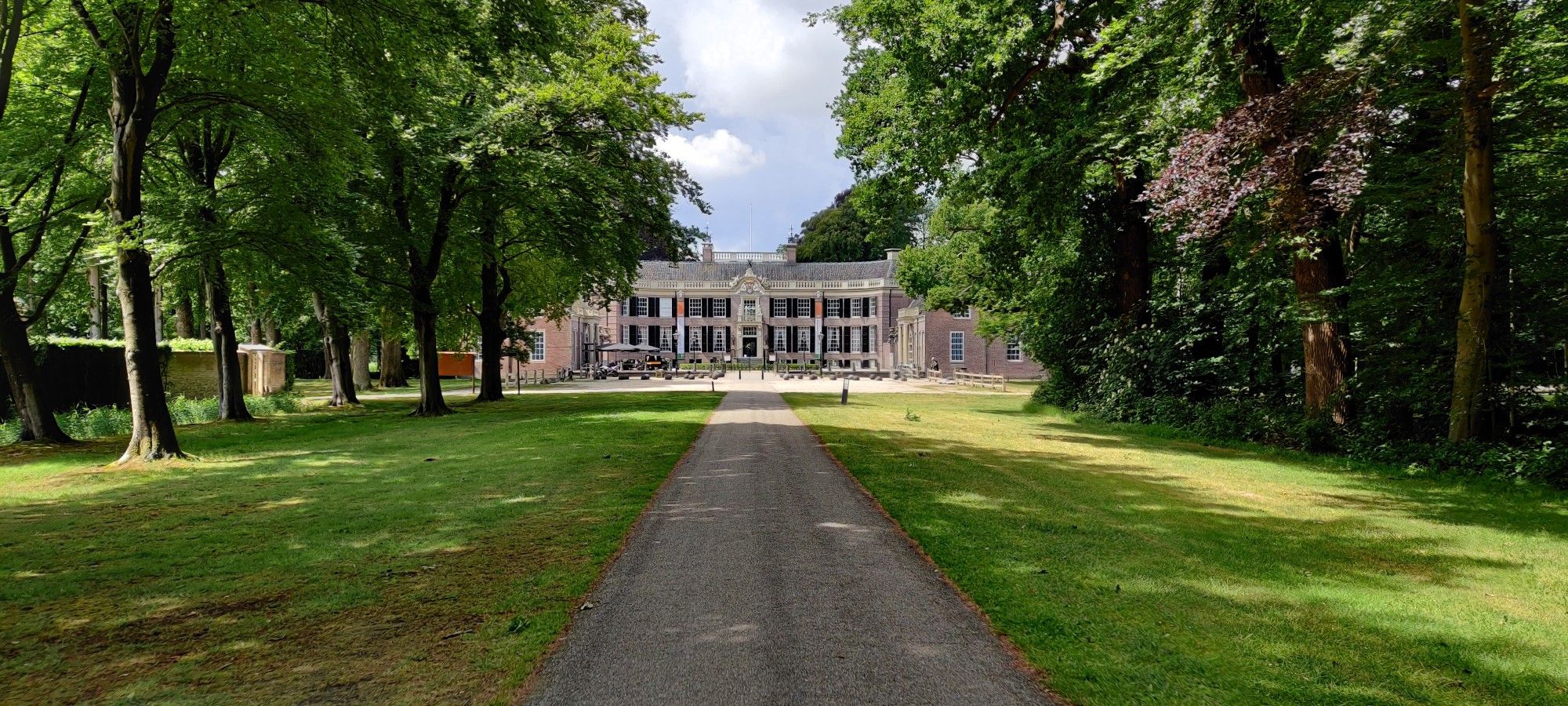
Discover hidden castles and idyllic country estates in Holland
Other adventures around Montferland


Tips from the Community

Please note: The Emma Pyramid, the tower that can be climbed, is temporarily closed. All routes are still accessible. The tower itself cannot be climbed for safety reasons. This is temporary, as maintenance still needs to be scheduled.
0
1

A special piece of art in nature.
1
0


Fan of climbing? You can find this Highlight in 'Climbing in the Netherlands', our book with 14 racing bike routes, good for 11,000+ altitude meters: Limburg, Nijmegen, Twente, Veluwe and many more. All routes have multiple distances/shortcuts. Komoot Premium month at €5 + 50% discount Climbfinder premium at €15 as a gift. Download the ebook for €14: https://bit.ly/klimmen-in-nederland
0
0

Perhaps the most beautiful climb in this area.
0
0

Climb the Zijpenberg from Rheden, via the Snippendaalseweg. A challenging climb on a cycle path where dosing is the magic word. Here you continuously alternate between exertion and relaxation.
0
0


The Zijpenberg climb from Rozendaal is a popular route among cyclists in the Veluwezoom region, offering both a challenging ascent and scenic beauty. Starting in Rozendaal, the 2-kilometer climb winds through Veluwezoom National Park, known for its rolling hills, dense forests, and open heathlands. With an elevation gain of about 80 meters and an average gradient of 4%, including some steeper sections, cyclists will enjoy stunning views along the well-maintained road, ensuring a smooth and safe ride suitable for road bikes. The climb is relatively quiet, especially on weekdays, but can be busy with cars and motorbikes during nice weather or holidays. It is easily accessible from Rozendaal and connects well with other routes, making it perfect for extended rides.
5
0
Frequently Asked Questions
What are the most notable elevations in Montferland?
The Montferland region, characterized by hills rather than traditional mountains, features several significant elevations. The highest point is the Hettenheuvel, reaching approximately 91.6 to 93.7 meters. Other notable hills include the Hulzenberg at 84.6 meters and the Montferland hill (heuvel) at 66.8 meters, which is home to the historic Motte Montferland.
What kind of views can I expect from the peaks in Montferland?
From the Hettenheuvel, you can enjoy panoramic views from the "Kale Jacob" viewpoint, stretching towards the Veluwezoom, Beek, Zeddam, Doetinchem, Didam, and Duiven. The Hulzenberg Lookout Tower, standing 21 meters high, offers a fantastic panoramic view of the Lower Rhine countryside on both sides of the German-Dutch border.
What historical sites can I discover among the Montferland hills?
The Montferland hill (heuvel) is home to the Motte Montferland, the largest motte hill in the Netherlands. This artificial hill, raised around the year 1000, features historical foundations of a tuff stone tower and was once surrounded by a dry moat and double earthen wall. It is a national archaeological monument. Additionally, along the walking paths of the Hettenheuvel, you can explore a Kochbunker, part of a German line from World War II.
Are there challenging routes for experienced hikers or cyclists in Montferland?
Yes, the region offers routes with significant elevation changes. For cyclists, the Zijpenberg Climb from Rozendaal is considered one of the tougher climbs around Arnhem, featuring hairpin bends. Hikers can find well-marked routes of varying difficulty in the Bergherbos area, some with notable ascents.
Are there family-friendly options for exploring the hills in Montferland?
Yes, the Montferland region offers several family-friendly options. The Bergherbos area has various walking routes suitable for different ages and abilities. The Hulzenberg Lookout Tower is also a family-friendly destination, offering an engaging experience and great views for all.
What outdoor activities are available near the Montferland peaks?
The Montferland region is excellent for various outdoor activities. You can find numerous routes for hiking, cycling, and running. For example, the Hiking around Montferland guide offers trails like 'Bergherbos forest – hiking off-the-beaten track in the Netherlands'. Cyclists can explore routes such as 'Eltenseweg Forest Path – Blick auf Oud Zeevenar loop' from the Cycling around Montferland guide. For runners, the Running Trails around Montferland guide includes options like 'Kochbunker Hetteheuvel – Kale Jacob Viewpoint loop'.
Are there specific hiking trails recommended in the Bergherbos area?
Yes, the Bergherbos area, managed by Natuurmonumenten, is a popular destination for hikers. You can find well-marked walking routes of varying lengths and difficulty. Recommended trails include 'Bergherbos forest – hiking off-the-beaten track in the Netherlands' and 'Over the hills of the Bergherbos Forest – walk in silence', both offering a moderate challenge and immersive nature experience.
What is the Hettenheuvel known for?
The Hettenheuvel is the highest point in Montferland and is fully forested. It is known for the "Kale Jacob" viewpoint at its summit, offering extensive panoramic views. The Pieterpad, a long-distance walking route, also traverses this hill, and visitors can explore a Kochbunker from World War II along its paths.
Are there any unique natural features to look out for in Montferland?
The Montferland region is part of a glacial ridge that extends into Germany, giving it an undulating terrain. The broader Bergherbos area is a varied forest landscape rich with diverse natural environments, bordered by hedgerows and abundant with herbs. The area's unique topography and varied forest types make it distinct.
What do visitors particularly enjoy about the Hulzenberg Lookout Tower?
Visitors enjoy the spectacular panoramic views from the Hulzenberg Lookout Tower, especially of the Lower Rhine countryside on both sides of the German-Dutch border. The tower, opened in 2016, is 21 meters high, placing visitors almost 100 meters above NAP (Amsterdam Ordnance Datum) at the top. It's particularly popular around sunset for its beautiful vistas.
Can I find routes suitable for cycling in the Montferland region?
Absolutely. The Montferland region is popular with cyclists due to its varied terrain. The Cycling around Montferland guide highlights routes like 'Forest Cycle Path – Hoge Eltenseweg loop' and 'Spider Mill Laag-Keppel – Eltenseweg Forest Path loop', offering both moderate and difficult options.
Where can I find good running trails around Montferland's hills?
The Montferland area provides excellent running opportunities. The Running Trails around Montferland guide features several routes, including 'Grafelijke Korenmolen Zeddam – Hulzenberg Lookout Tower loop' for a challenging run, and 'Kochbunker Hetteheuvel – Kale Jacob Viewpoint loop' for a moderate option, allowing you to explore the scenic hills while jogging.
Most popular routes around Montferland
Most popular attractions around Montferland

Get inspired with the komoot mobile app


Explore more
See even more amazing summits around Montferland with these guides:
