The best gravel rides around Bellefontaine
4.9
(19)
115
riders
12
rides
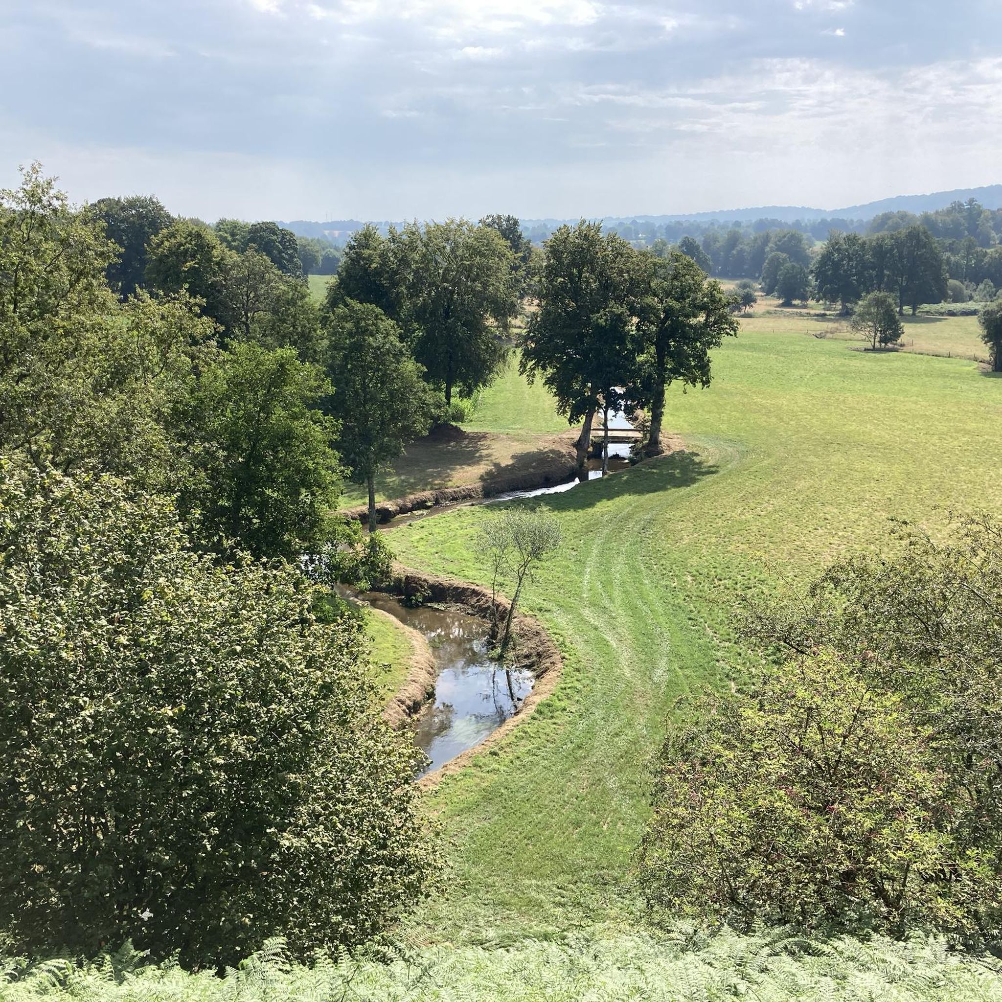
Gravel biking around Bellefontaine, Ohio, offers diverse landscapes with varied terrain. The region features rolling hills, open farmlands, and wooded areas, providing scenic and engaging routes. Campbell Hill, Ohio's highest point at 1,549 feet (472 m), contributes to the varied topography, creating opportunities for elevation changes. Riverine scenery and valleys also define many routes, offering an immersive natural experience for gravel cyclists.
Best gravel bike trails around Bellefontaine
- The most popular gravel bike trail is View of Mont Saint-Michel –…
Last updated: July 5, 2026
4.7
(12)
71
riders
Hard gravel ride. Very good fitness required. Mostly paved surfaces. Suitable for all skill levels.
4.8
(5)
16
riders
72.2km
04:41
790m
790m
Hard gravel ride. Very good fitness required. Mostly paved surfaces. Suitable for all skill levels.

Sign up for free
5.0
(1)
14
riders
108km
06:36
1,200m
1,200m
Hard gravel ride. Very good fitness required. Mostly paved surfaces. Suitable for all skill levels.
5.0
(1)
3
riders
30.7km
02:15
500m
500m
Hard gravel ride. Very good fitness required. Mostly paved surfaces. Suitable for all skill levels.
11
riders
29.7km
01:43
280m
280m
Moderate gravel ride. Good fitness required. Mostly paved surfaces. Suitable for all skill levels.
Get access to more routes and recommendations from other explorers.
Sign up for free
Already have an account?
Our route recommendations are based on thousands of hikes, rides, and runs completed by other people on komoot.
Start today with a free account
Your next adventure awaits.
Login or Signup
Tips from the Community

Lovely route, first along the coast on good cycle paths, then after the large car park via all sorts of narrow roads and villages back to the campsite in Ceaux.
0
0

Toilets, water point and a huge collection of books for adoption!
0
0

Parts of the route along the sea do not exist or are forbidden for bicycles
0
0

Mountain bike park with a pumptrack, restrooms, and a water fountain. Four cross-country loops (green, blue, red, black) and one downhill loop. Well-maintained with a magnificent view.
0
0

The Brouains Bumps: Pumptrack / Jumpline / DH / XCO - for mountain biking enthusiasts. Entry fee required.
0
0

breathtaking view of the Mount...😋
0
0


Amazing clock tower. According to the info sign the 'twin towers' are from the 12th C and the Belfry was added at the end of the 15th C. So a very historic spot. The small square in front of the tower is peaceful and hassle-free Use one of the many clean public benches as a base to enjoy your picnic. Afterwards go to the small cafe on the corner, order and pay for your coffee and they will bring it out to your table (a slight upgrade from the bench!). I discreetly ate a clafoutis de cerise with the coffee, and no-one objected.
0
0
Frequently Asked Questions
How many gravel bike trails are available around Bellefontaine?
There are 14 gravel bike routes documented around Bellefontaine, offering a diverse range of experiences for cyclists. These routes are highly rated by the komoot community, with an average score of 4.88 stars.
What kind of terrain can I expect on gravel bike trails in Bellefontaine?
Gravel biking around Bellefontaine offers a mix of terrain, from challenging climbs to picturesque, rolling gravel roads. You'll find routes winding through open farmlands, scenic wooded areas, and even some with significant elevation changes, catering to various skill levels.
Are there any challenging gravel routes for experienced riders?
Yes, Bellefontaine offers several challenging routes. For instance, the View of Mont Saint-Michel – Pontaubault Bridge loop from Romagny is rated as difficult, covering over 100 km with substantial elevation gain. Another demanding option is the Waterfall – Needle Rock loop from Beauficel, which features significant climbs over its 64 km.
Are there any moderate gravel routes suitable for intermediate riders?
Absolutely. For intermediate riders looking for a balanced challenge, the Needle Rock – The Vélocéane Cycle Route loop from Le Neufbourg is a great option. This route covers about 30 km with moderate elevation, providing an engaging ride without being overly strenuous.
What are some scenic highlights or landmarks I might encounter on a gravel bike ride?
Many routes offer scenic views of open skies and older farms, with some winding through Amish communities. You might also encounter natural features like the La Grande Cascade de Mortain or enjoy panoramic views from the Mortain Viewpoint. The region's varied topography, influenced by Campbell Hill, Ohio's highest point, also contributes to diverse landscapes.
Are there any routes that pass by waterfalls?
Yes, the Waterfall – Needle Rock loop from Beauficel is a challenging route that specifically highlights a waterfall. You can also find a Rest area at the foot of the Petite Cascade, offering a pleasant stop near another cascade.
What do other gravel bikers enjoy most about the trails in Bellefontaine?
The area is highly rated by the komoot community, with an average score of 4.88 stars from over 17 reviews. Reviewers often praise the diverse landscapes, varied gravel roads, and the immersive natural experience found in the wooded areas and valleys. Many appreciate the options available for different ability levels, from moderate to difficult.
Are there any cafes or places to stop for refreshments along the routes?
While specific cafes directly on every gravel route might vary, the region has options. For example, La Cour des Grands is a cafe listed as a nearby attraction, which could be a convenient stop depending on your chosen route and starting point.
What is the best time of year for gravel biking in Bellefontaine?
The diverse landscapes of Bellefontaine are enjoyable throughout much of the year. Spring and fall generally offer pleasant temperatures and beautiful scenery, with changing foliage in autumn. Summer can also be great, though it's wise to start earlier to avoid the midday heat. Winter conditions can vary, so checking local weather and trail conditions is always recommended.
Are there any long-distance gravel routes in the Bellefontaine area?
Yes, for those seeking longer rides, routes like the View of Mont Saint-Michel – Pontaubault Bridge loop from Romagny extend over 100 km, providing a significant long-distance gravel biking experience. Another substantial option is The Clock Tower – The Vélocéane Cycle Route loop from Saint-Barthélemy, which is nearly 100 km long.
Can I find circular gravel routes around Bellefontaine?
Many of the gravel routes in the Bellefontaine area are designed as loops, allowing you to start and end at the same point. Examples include the View of Mont Saint-Michel – Pontaubault Bridge loop from Romagny and the Waterfall – Needle Rock loop from Beauficel, providing convenient circular options for your ride.
Most popular routes around Bellefontaine
Most popular attractions around Bellefontaine

Get inspired with the komoot mobile app


Explore more
Browse the best Gravel rides in other regions.
