The best gravel rides around Martainville
4.0
(3)
44
riders
3
rides
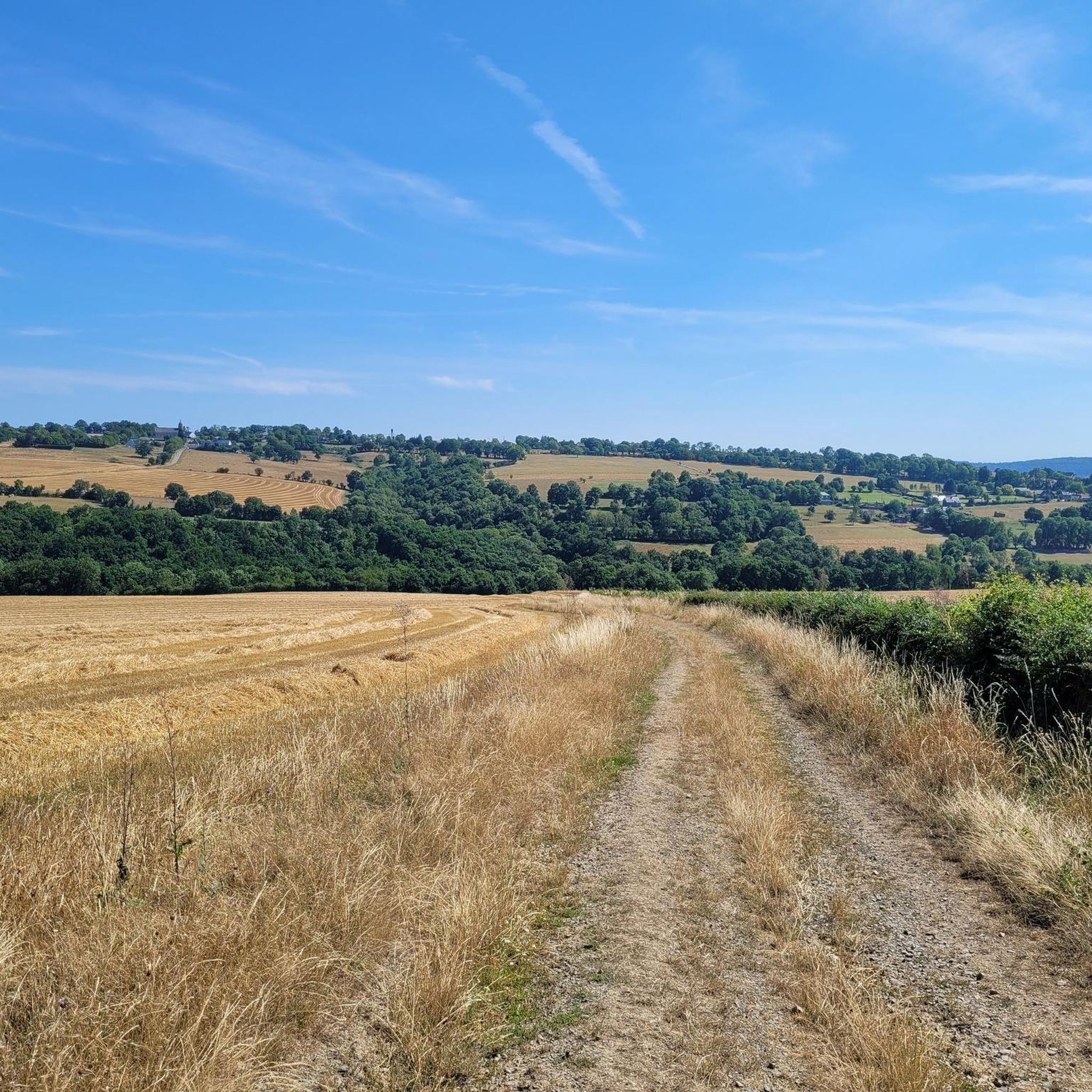
Gravel biking around Martainville offers routes through verdant and partly hedged landscapes, characterized by extensive arable land and meadows. The terrain features a bocage style, with small fields, hedges, and woodlands, providing varied surfaces for cycling. Situated between the Pays de Caux, the French Vexin, and the Seine Valley, the area presents a diverse natural environment with country paths, woodlands, and less-frequented roads.
Best gravel bike trails around Martainville
- The most popular gravel bike trail is The Rochers des Parcs…
Last updated: July 4, 2026
12
riders
55.2km
04:02
1,010m
1,010m
Hard gravel ride. Very good fitness required. Mostly paved surfaces. Suitable for all skill levels.
4.0
(2)
8
riders
24.3km
01:54
440m
440m
Moderate gravel ride. Good fitness required. Mostly paved surfaces. Suitable for all skill levels.

Sign up for free
4.0
(1)
8
riders
44.3km
03:33
840m
850m
Hard gravel ride. Very good fitness required. Mostly paved surfaces. Suitable for all skill levels.
5
riders
34.5km
02:56
710m
710m
Hard gravel ride. Very good fitness required. Mostly paved surfaces. Suitable for all skill levels.
3
riders
Hard gravel ride. Very good fitness required. Mostly paved surfaces. Suitable for all skill levels.
Our route recommendations are based on thousands of hikes, rides, and runs completed by other people on komoot.
Start today with a free account
Your next adventure awaits.
Login or Signup
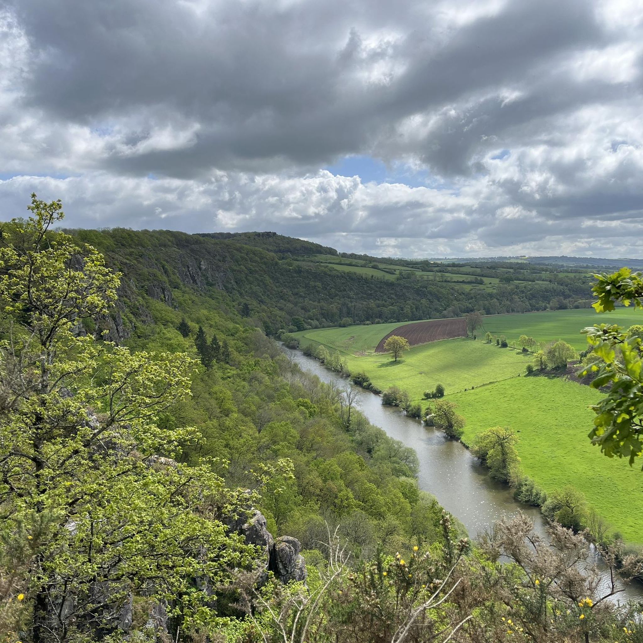
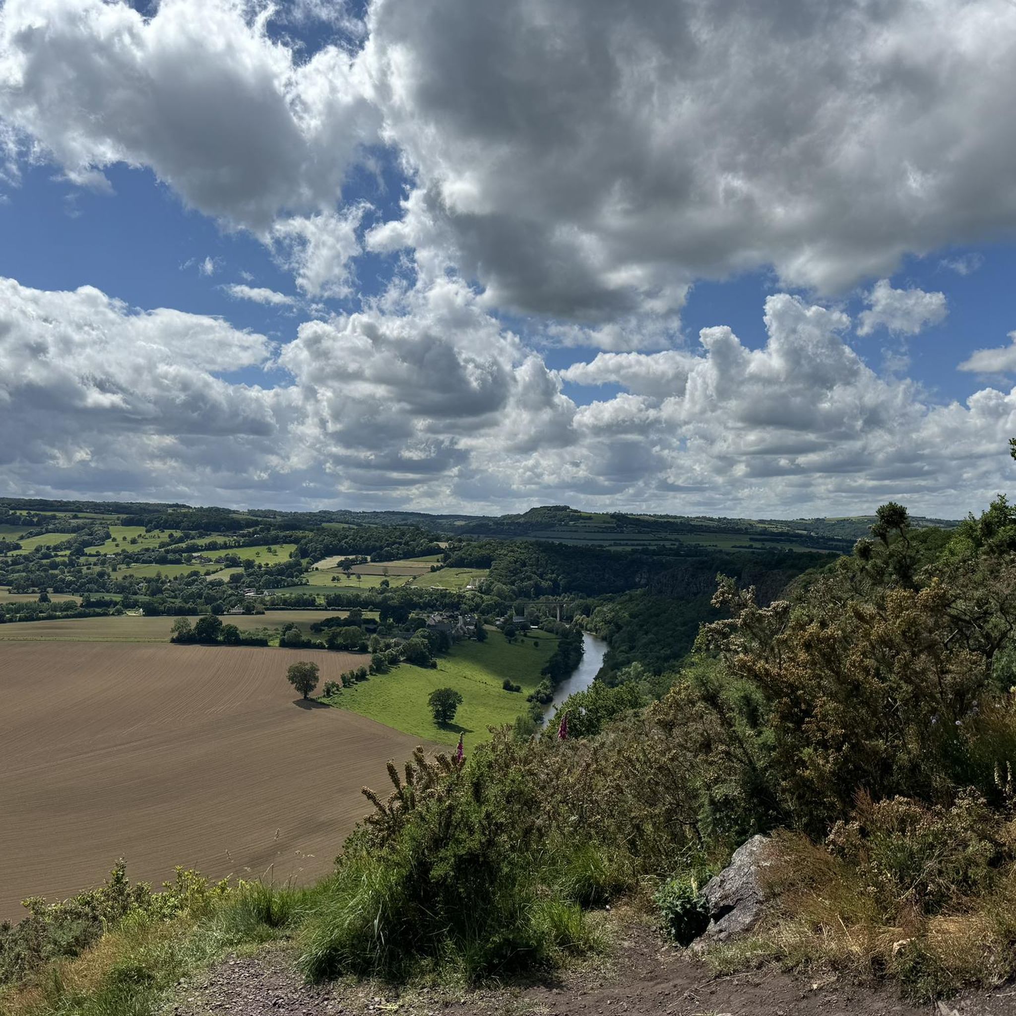

Tips from the Community

After this pretty bridge, a very difficult climb even on foot
0
0

For those who are fond of mountainous landscapes in Normandy: the Suisse Normande.
0
0

a great cycle path through the railway tunnel - the tunnel is beautifully lit.
0
0
A rest area at the train station. There's more than just tables and benches here, plus a nice place to linger.
0
0


The most beautiful landscapes of Swiss Normandy
0
0

a passage between two rock walls just after the Orne
0
0
Frequently Asked Questions
What kind of terrain can I expect on gravel bike trails around Martainville-Épreville?
The terrain around Martainville-Épreville is characterized by its verdant and partly hedged landscapes, often referred to as 'bocage.' You'll encounter a mix of arable land, meadows, country paths, woodlands, and less-frequented roads. This provides varied surfaces suitable for gravel biking, offering a scenic rural experience.
Are there any challenging gravel routes for experienced riders?
Yes, several routes offer a significant challenge. For instance, the Clécy Viaduct – Clécy loop from Pont-d'Ouilly is a difficult 34.4-mile (55.3 km) trail with over 3,300 feet (1000 m) of elevation gain. Another demanding option is Orne Bay – Sainte-Anne Viaduct loop from Thury-Harcourt, a difficult 58.1-mile (93.5 km) path with approximately 1,000 feet (300 m) of ascent.
What are the best times of year for gravel biking in Martainville-Épreville?
The region's green landscapes are enjoyable throughout much of the year. Spring and autumn generally offer pleasant temperatures and vibrant scenery, making them ideal. Summer can also be great, especially in the mornings or late afternoons to avoid the warmest parts of the day. Winters can be damp, so check local conditions for unpaved paths.
Are there any family-friendly gravel biking options in the area?
While many routes in the immediate vicinity are moderate to difficult, the general rural setting with country paths and less-frequented roads can be suitable for families looking for gentler rides. Look for shorter, flatter sections or dedicated greenways in the broader region for a more relaxed experience. The Charming panorama – Le Pont des Vers loop from Pont-d'Ouilly, at 15.1 miles (24.3 km) and rated moderate, might be a good starting point for more active families.
What points of interest can I visit along or near the gravel bike routes?
The most significant attraction in Martainville-Épreville is the historic Château de Martainville, which houses the Museum of Norman Traditions and Arts. Its park and gardens are open to the public. While not directly on all gravel routes, it's a notable landmark worth exploring. For more information on the park, you can visit seine-maritime-tourisme.com.
Where can I find parking for gravel biking trails in Martainville-Épreville?
Martainville-Épreville is a rural commune, and parking is generally available in village centers or near local attractions like the Château de Martainville. For specific trailheads, it's advisable to check the starting points of individual routes on komoot, as many rural routes begin from small villages or designated parking areas.
What do other gravel bikers say about the routes around Martainville-Épreville?
The routes in this area are highly rated by the komoot community, with an average score of around 4.3 stars from nearly 10 reviews. Over 70 gravel bikers have used komoot to explore the varied terrain, often praising the scenic bocage landscapes and the quiet, rural atmosphere.
Are there any circular gravel bike routes available?
Yes, many of the gravel routes in the region are designed as loops, allowing you to start and finish at the same point. Examples include the Clécy Viaduct – Clécy loop from Pont-d'Ouilly and the Orne Bay – Sainte-Anne Viaduct loop from Thury-Harcourt, which are popular choices for their circular nature.
Can I bring my dog on the gravel cycling routes?
Many rural paths and trails in France are generally dog-friendly, especially if your dog is well-behaved and kept under control. However, specific regulations can vary, particularly in nature reserves or private lands. Always ensure your dog is on a leash when passing through agricultural areas or near livestock, and be mindful of other trail users.
Are there cafes or pubs along the gravel routes for a break?
Martainville-Épreville and the surrounding villages are small, so dedicated cafes or pubs directly on every trail might be limited. It's a good idea to plan your route to pass through larger villages or towns where you're more likely to find local establishments for refreshments. Packing snacks and water is always recommended for longer rides.
What is the elevation gain like on these gravel trails?
The elevation gain varies significantly depending on the route. Some trails, like the Clécy Viaduct – Clécy loop from Pont-d'Ouilly, feature over 3,300 feet (1000 m) of ascent, making them quite challenging. Other routes, such as the Orne Bay – Sainte-Anne Viaduct loop from Thury-Harcourt, have around 1,000 feet (300 m) of ascent, offering a more moderate climb while still providing a good workout.
How many specific gravel bike routes are highlighted in this guide?
This guide highlights five specific gravel bike routes, ranging from moderate to difficult in terms of challenge. These routes offer a good overview of the diverse landscapes and riding experiences available around Martainville-Épreville.
Most popular routes around Martainville
Most popular attractions around Martainville

Get inspired with the komoot mobile app


Explore more
Browse the best Gravel rides in other regions.
