
The best walks and hikes around Saint-Flovier
5.0
(2)
40
hikers
11
hikes
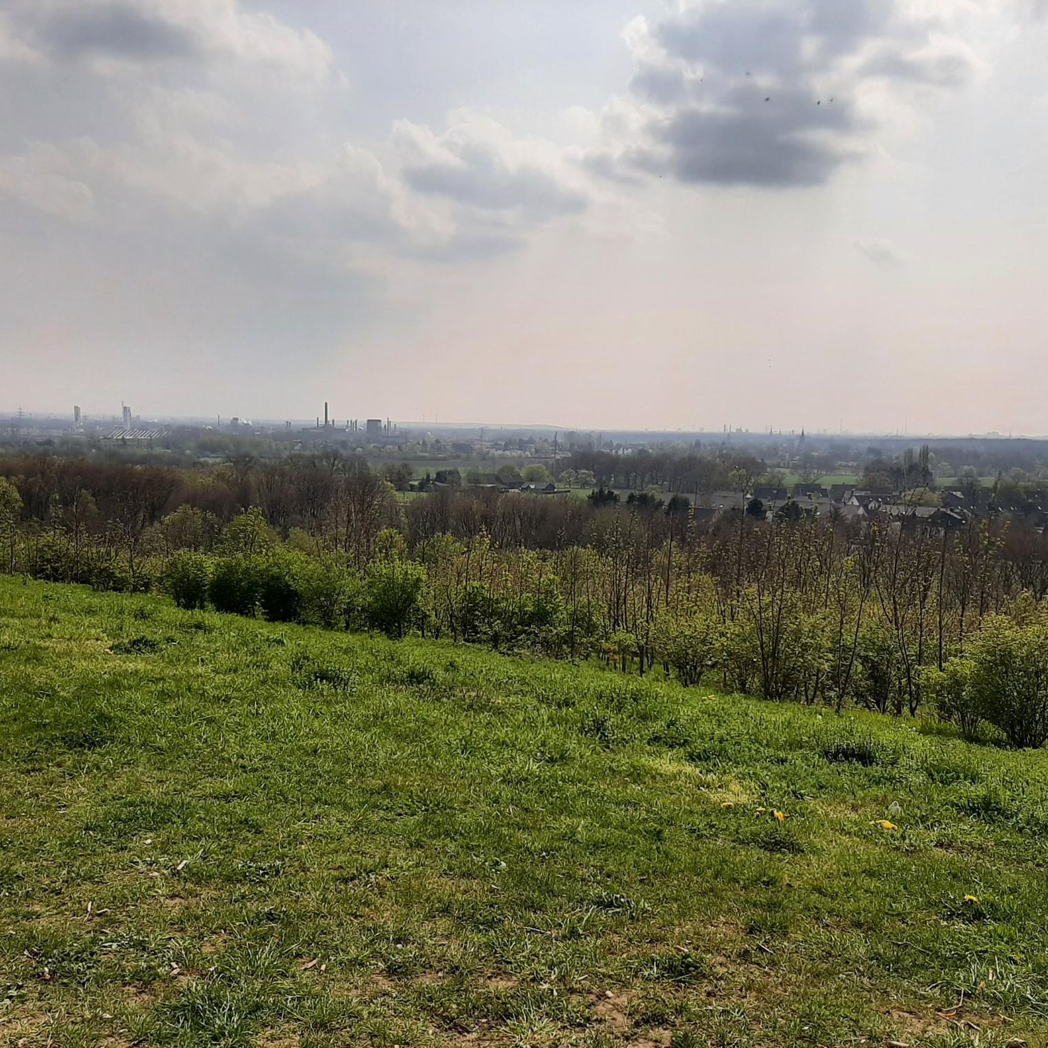
Hiking around Saint-Flovier offers access to a landscape characterized by rolling countryside and numerous ponds. The region, located in the Indre-et-Loire department of France, provides a mix of easy and moderate hiking routes. Trails often feature accessible paths, allowing for exploration of the local natural features and rural scenery. The minimal elevation changes across many routes make the area suitable for various fitness levels.
Best hiking trails around Saint-Flovier
- The most popular hiking route is L'Étang Neuf loop from Étang…
Last updated: July 4, 2026
5.0
(1)
10
hikers
6.61km
01:41
20m
20m
Easy hike. Great for any fitness level. Easily-accessible paths. Suitable for all skill levels.
8
hikers
8.52km
02:16
80m
90m
Moderate hike. Good fitness required. Easily-accessible paths. Suitable for all skill levels.

Sign up for free
7
hikers
14.7km
03:54
140m
140m
Moderate hike. Good fitness required. Easily-accessible paths. Suitable for all skill levels.
6
hikers
11.5km
02:56
40m
40m
Moderate hike. Good fitness required. Easily-accessible paths. Suitable for all skill levels.
4
hikers
8.67km
02:12
20m
20m
Moderate hike. Good fitness required. Easily-accessible paths. Suitable for all skill levels.
Get access to more routes and recommendations from other explorers.
Sign up for free
Already have an account?
Our route recommendations are based on thousands of hikes, rides, and runs completed by other people on komoot.
Start today with a free account
Your next adventure awaits.
Login or Signup



Frequently Asked Questions
How many hiking trails are available around Saint-Flovier?
There are 9 hiking routes documented around Saint-Flovier, offering a variety of experiences. These include 4 easy trails and 5 moderate options, ensuring choices for different fitness levels.
What kind of terrain can I expect on hikes in Saint-Flovier?
Hiking in Saint-Flovier primarily features tranquil, rolling countryside, often referred to as 'The Garden of France.' You'll traverse a mix of local woods, open agricultural fields, and paths around scenic ponds. The elevation changes are generally minimal, making for pleasant walks through picturesque rural settings.
Are there easy hiking options suitable for beginners or casual walkers?
Yes, Saint-Flovier offers several easy hiking options perfect for beginners or those seeking a relaxed stroll. For example, the L'Étang Neuf loop from Étang de la Ribaloche is an easy 4.1-mile (6.6 km) trail that takes about 1 hour 41 minutes to complete, featuring accessible paths around local water bodies.
Are there any family-friendly hiking trails in Saint-Flovier?
Many of the trails in Saint-Flovier are suitable for families, especially the easier routes with minimal elevation gain. The paths through woods and agricultural areas provide a pleasant environment for children to explore. Consider routes like the L'Étang Neuf loop from Étang de la Ribaloche for a gentle family outing.
Can I bring my dog on the hiking trails?
While specific regulations for dogs on trails in Saint-Flovier are not detailed, generally, dogs are welcome on many rural paths in France, especially if kept on a leash. It's always advisable to be respectful of agricultural land and wildlife. Please ensure your dog is under control and that you clean up after them.
Are there circular hiking routes available?
Yes, most of the hiking routes around Saint-Flovier are designed as circular loops, allowing you to start and end at the same point without retracing your steps. Examples include the Hiking loop from Ferrière-Larçon and the Plan d'eau communal loop from Fléré-la-Rivière.
What are some notable landmarks or attractions to see while hiking?
While hiking in Saint-Flovier, you'll primarily enjoy the serene natural beauty of the Indre-et-Loire region, characterized by its woods, fields, and ponds. Within the wooded sections, you might encounter local points of interest like the "carrefour des Braconniers" and "Le Rond de la Loge." For broader attractions nearby, consider visiting the Zoological Reserve of Haute-Touche or the Castle Park and Gardens of Azay-le-Ferron, which offer additional opportunities to experience nature and cultivated landscapes.
What is the best time of year to go hiking in Saint-Flovier?
The region's tranquil and lush landscapes are enjoyable throughout much of the year. Spring and autumn offer pleasant temperatures and beautiful scenery with blooming flora or vibrant fall colors. Summer can also be lovely, though it's best to hike in the mornings or late afternoons to avoid the midday heat. Winter hikes are possible, especially on the well-maintained paths, offering a different, quieter perspective of the countryside.
Is parking available near the trailheads?
While specific parking details for every trailhead are not provided, given the rural nature of Saint-Flovier, it is generally possible to find parking in or near the villages where many routes begin, such as near Étang de la Ribaloche or Fléré-la-Rivière. Look for designated parking areas or suitable roadside spots.
What do other hikers enjoy the most about hiking in Saint-Flovier?
The komoot community rates hiking in Saint-Flovier highly, with an average score of 5.0 stars. Hikers often praise the peaceful, accessible paths, the charming rolling countryside, and the scenic ponds that define the region. The variety of easy to moderate routes also makes it a popular choice for different skill levels.
Are there any longer, more challenging hikes available?
While Saint-Flovier is known for its gentle terrain, there are moderate options for those seeking a longer walk. The Plan d'eau communal loop from Fléré-la-Rivière, for instance, is a 9.1-mile (14.7 km) trail that takes about 3 hours 53 minutes to complete, offering an extended exploration of the local ponds and countryside.
Are there any routes that specifically feature ponds or water bodies?
Yes, many routes in Saint-Flovier incorporate the region's characteristic ponds. The Plan d'Eau de Saint-Flovier loop from Saint-Flovier is a great example, offering an 8.7-mile (8.7 km) moderate hike directly around the communal lake, providing lovely waterside views.

Get inspired with the komoot mobile app


Explore more
Browse the best Hikes in other regions.
