The best walks and hikes around Châtillon-Sur-Indre
4.8
(4)
32
hikers
9
hikes
Hiking around Châtillon-Sur-Indre offers trails through the Indre river valley, characterized by gentle elevations and numerous water bodies. The landscape features a mix of agricultural land, woodlands, and small lakes or ponds. These routes provide opportunities to explore the natural and historical elements of the region.
Best hiking trails around Châtillon-Sur-Indre
- The most popular hiking route is Plan d'eau communal loop from Fléré-la-Rivière, a 9.1 miles (14.7 km) trail that takes 3 hours 53 minutes to complete. This moderate route circles a communal lake, offering varied scenery.
- Another top favourite among local hikers is Plan d'Eau de Saint-Flovier loop from Saint-Flovier, a moderate 5.4 miles (8.7 km) path. This trail provides views of the Saint-Flovier lake and surrounding gentle terrain, typically completed in 2 hours 12 minutes.
- Local hikers also love the Palluau-sur-Indre – Château de Palluau-sur-Indre loop from Palluau-sur-Indre, a 2.4 miles (3.9 km) trail leading through historical areas including the Château de Palluau-sur-Indre, often completed in about 1 hour 4 minutes.
- Hiking around Châtillon-Sur-Indre is defined by river valleys, tranquil water bodies, and gentle hills. The network offers options for both easy hikes and more moderate routes.
- The routes in Châtillon-Sur-Indre are highly rated by the komoot community with an average score of 4.7 stars from 3 reviews. More than 20 hikers have used komoot to explore Châtillon-Sur-Indre's varied terrain.
Last updated: July 4, 2026
7
hikers
14.7km
03:54
140m
140m
Moderate hike. Good fitness required. Easily-accessible paths. Suitable for all skill levels.
4
hikers
8.67km
02:12
20m
20m
Moderate hike. Good fitness required. Easily-accessible paths. Suitable for all skill levels.

Sign up for free
5.0
(1)
3
hikers
Easy hike. Great for any fitness level. Easily-accessible paths. Suitable for all skill levels.
5.0
(1)
2
hikers
7.48km
02:00
80m
80m
Easy hike. Great for any fitness level. Easily-accessible paths. Suitable for all skill levels.
4.0
(1)
3
hikers
Easy hike. Great for any fitness level. Easily-accessible paths. Suitable for all skill levels.
Get access to more routes and recommendations from other explorers.
Sign up for free
Already have an account?
Our route recommendations are based on thousands of hikes, rides, and runs completed by other people on komoot.
Start today with a free account
Your next adventure awaits.
Login or Signup

Other adventures around Châtillon-Sur-Indre

Tips from the Community

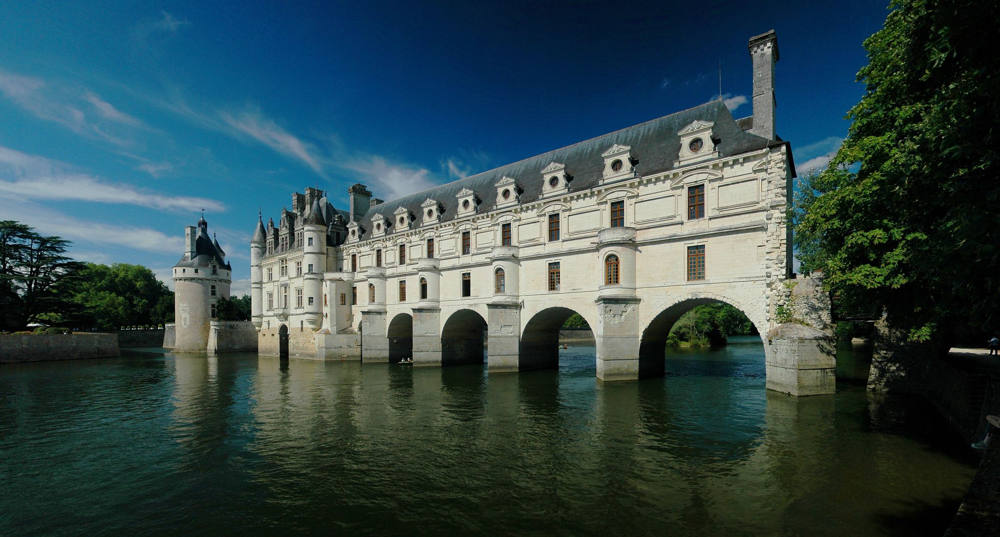
Perched on a rocky spur stands this feudal castle. Its imposing silhouette dominates this strategic stronghold and overlooks the surrounding area. The castle dates from the 11th century and overlooks the Roman road from Poitiers to Orléans.
2
0

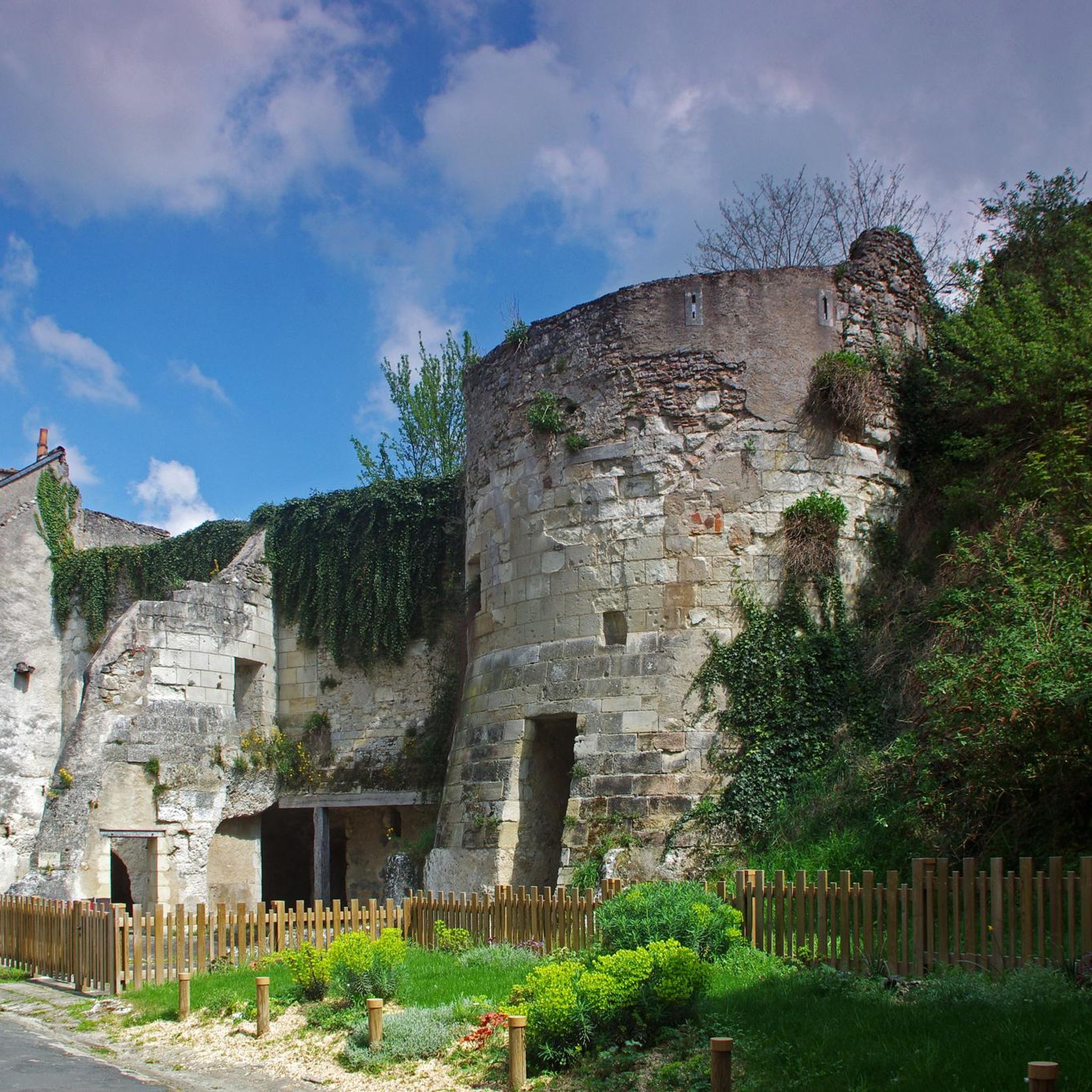
Châtillon-sur-Indre is a village of 3,000 inhabitants which dates from around the 9th century. Its rich heritage consists of a castle built in the 13th century, the César Tower, built around 1130 and the Notre-Dame church.
0
0
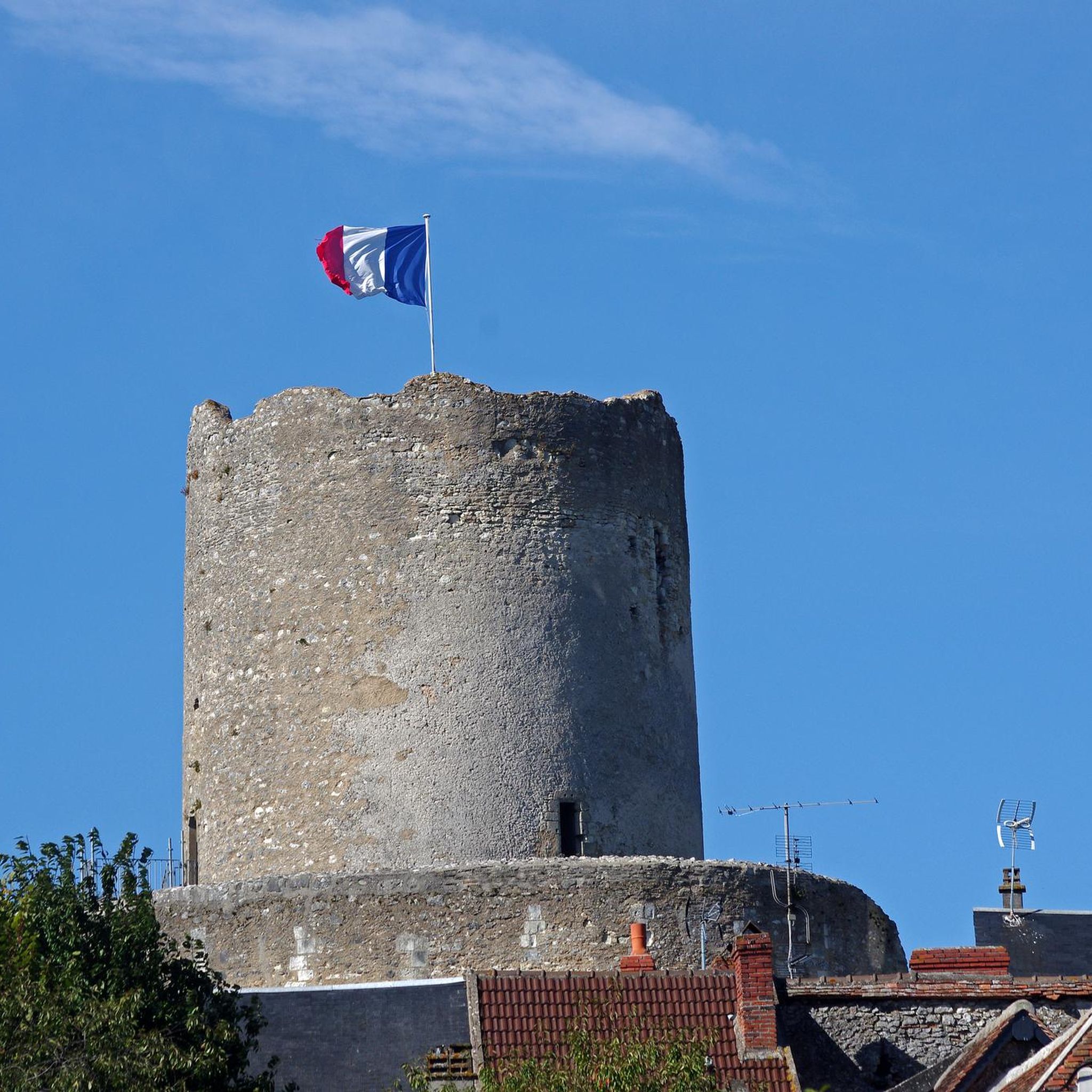
Palluau-sur-Indre is a medieval town at the crossroads of the Route des Dames de Touraine and the Route des Plantagenêts. This village has less than 800 inhabitants but is home to an 11th century feudal castle and several 15th century houses.
1
0
Frequently Asked Questions
How many hiking trails are available around Châtillon-Sur-Indre?
There are 7 hiking routes documented on komoot around Châtillon-Sur-Indre. These include a mix of easy and moderate trails, offering diverse options for exploring the region.
Are there easy hiking trails suitable for beginners in Châtillon-Sur-Indre?
Yes, Châtillon-Sur-Indre offers 3 easy hiking routes perfect for beginners or those seeking a relaxed walk. A good option is the Palluau-sur-Indre – Château de Palluau-sur-Indre loop from Palluau-sur-Indre, which is 2.4 miles (3.9 km) long and takes about 1 hour 4 minutes to complete.
What are the typical distances for hikes in Châtillon-Sur-Indre?
Hiking distances in the area vary, catering to different preferences. You can find shorter walks like the Châtillon-sur-Indre loop from Châtillon-sur-Indre at 2.7 miles (4.3 km), up to longer routes such as the Plan d'eau communal loop from Fléré-la-Rivière, which is 9.1 miles (14.7 km).
Are there any circular hiking routes in Châtillon-Sur-Indre?
Yes, many of the trails around Châtillon-Sur-Indre are circular, allowing you to start and end at the same point. Examples include the popular Plan d'Eau de Saint-Flovier loop from Saint-Flovier and the Plan d'eau communal loop from La Closerie.
What kind of scenery can I expect on hikes around Châtillon-Sur-Indre?
Hikes in this region typically feature the tranquil Indre river valley, gentle elevations, and a mix of agricultural land, woodlands, and small lakes or ponds. You'll often encounter natural water bodies and historical elements along the way.
Are the hiking trails in Châtillon-Sur-Indre suitable for families with children?
Yes, the region's gentle terrain and shorter, easy routes make it suitable for families. The Palluau-sur-Indre – Château de Palluau-sur-Indre loop from Palluau-sur-Indre is a good option, offering a manageable distance and historical interest.
What do other hikers enjoy most about hiking in Châtillon-Sur-Indre?
The komoot community rates the trails in Châtillon-Sur-Indre highly, with an average score of 4.7 stars. Hikers often praise the peaceful atmosphere, the scenic river valley views, and the well-maintained paths that make for enjoyable walks.
Can I bring my dog on the hiking trails in Châtillon-Sur-Indre?
Most trails in the Châtillon-Sur-Indre area are generally dog-friendly, but it's always recommended to keep your dog on a leash, especially when passing through agricultural areas or near wildlife. Check specific route details on komoot for any local restrictions.
Are there any historical sites or landmarks to see while hiking?
Yes, some routes incorporate historical elements. For example, the Palluau-sur-Indre – Château de Palluau-sur-Indre loop from Palluau-sur-Indre leads through historical areas, including the Château de Palluau-sur-Indre, offering a glimpse into the region's past.
Is public transport available to access hiking trailheads in Châtillon-Sur-Indre?
Public transport options directly to specific trailheads might be limited in this rural area. It is generally advisable to plan your journey by car, as many routes start from villages or communal areas where parking is typically available.
What is the best time of year to go hiking in Châtillon-Sur-Indre?
The spring and autumn months are generally ideal for hiking in Châtillon-Sur-Indre, offering pleasant temperatures and beautiful natural colors. Summer can also be enjoyable, especially for walks near water bodies, but be mindful of warmer weather.

Get inspired with the komoot mobile app


Explore more
Browse the best Hikes in other regions.
