Top 6 Mountain Passes around Crempigny-Bonneguête
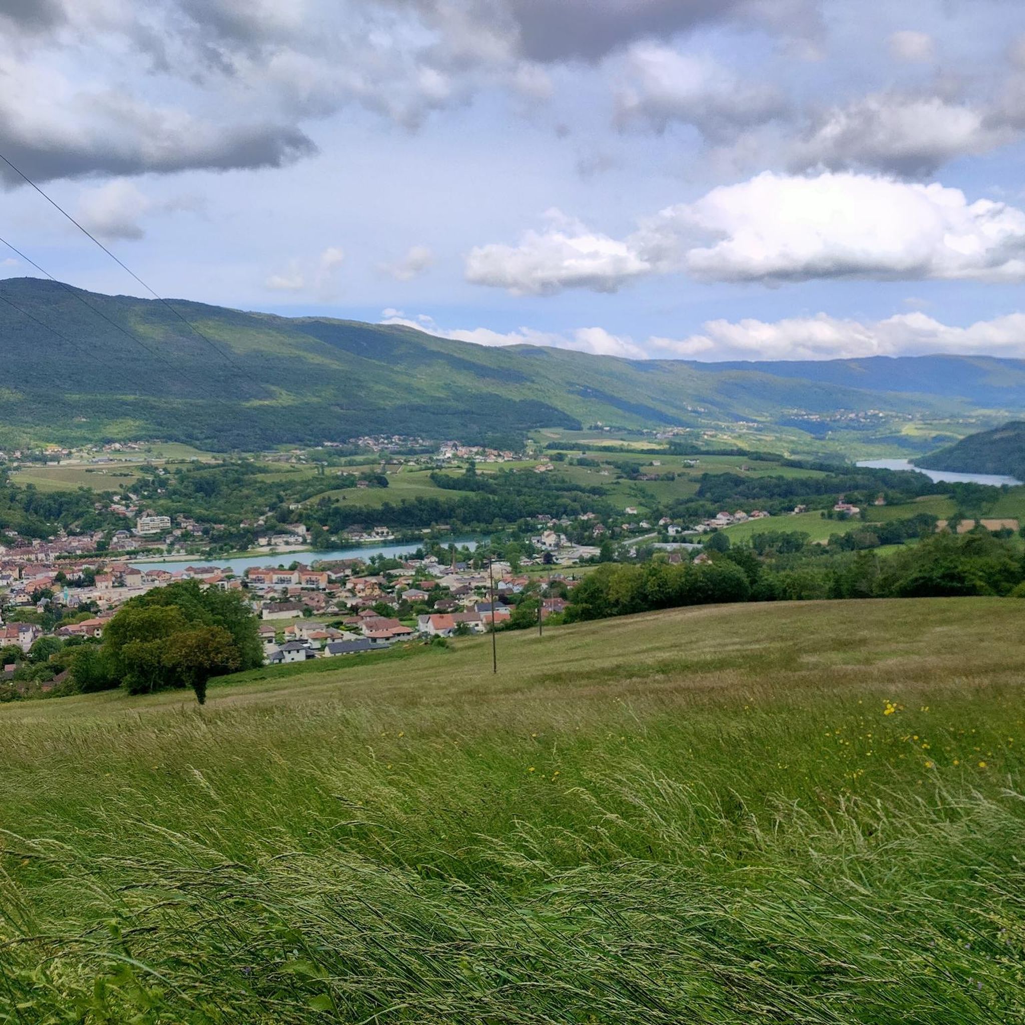
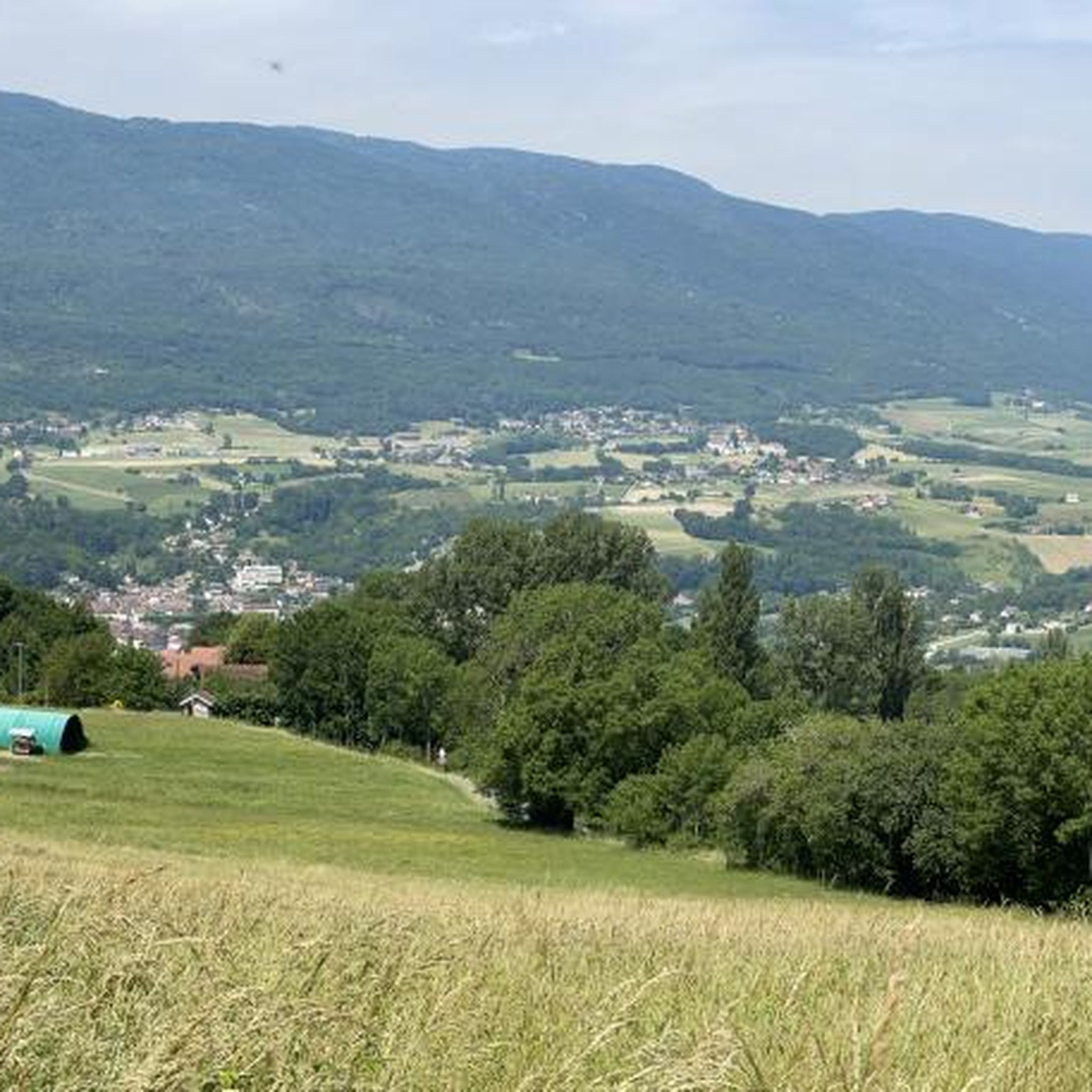
Mountain passes near Crempigny-Bonneguête offer access to the mountainous Haute-Savoie department of France. The commune itself is situated at an altitude ranging from 340 to 857 meters, featuring pastures and forests on the flank of the Montagne des Princes. This region provides various routes for exploring mountain passes, from beginner-friendly climbs to more challenging ascents. The surrounding area is known for its diverse terrain and scenic views.
Best mountain passes around Crempigny-Bonneguête
- The most popular mountain passes is Col du…
Last updated: June 26, 2026
Col du Clergeon
Highlight • Mountain Pass
Tip by

Ascent of Col du Grand Colombier from Culoz
Highlight (Segment) • Climb
I prefer this side because it allows for the switchbacks that made this pass famous.
Translated by Google •
Tip by

Sign up now to discover places like this
Get recommendations on the best single tracks, peaks, & plenty of other exciting outdoor places.
Sign up for free
Charbemènes Pass
Highlight • Mountain Pass
Translated by Google •
Tip by

Col du Grand Colombier Ascent from Anglefort
Highlight (Segment) • Climb
Translated by Google •
Tip by

Col de la Biche
Highlight (Segment) • Mountain Pass
Percentages that warm the legs, a beautiful view of the Mont Blanc range and a superb valley at the top
Translated by Google •
Tip by

Sign up for free to discover even more mountain passes around Crempigny-Bonneguête.
Sign up for free
Already have an account?
Start today with a free account
Your next adventure awaits.
Login or Signup
Popular around Crempigny-Bonneguête
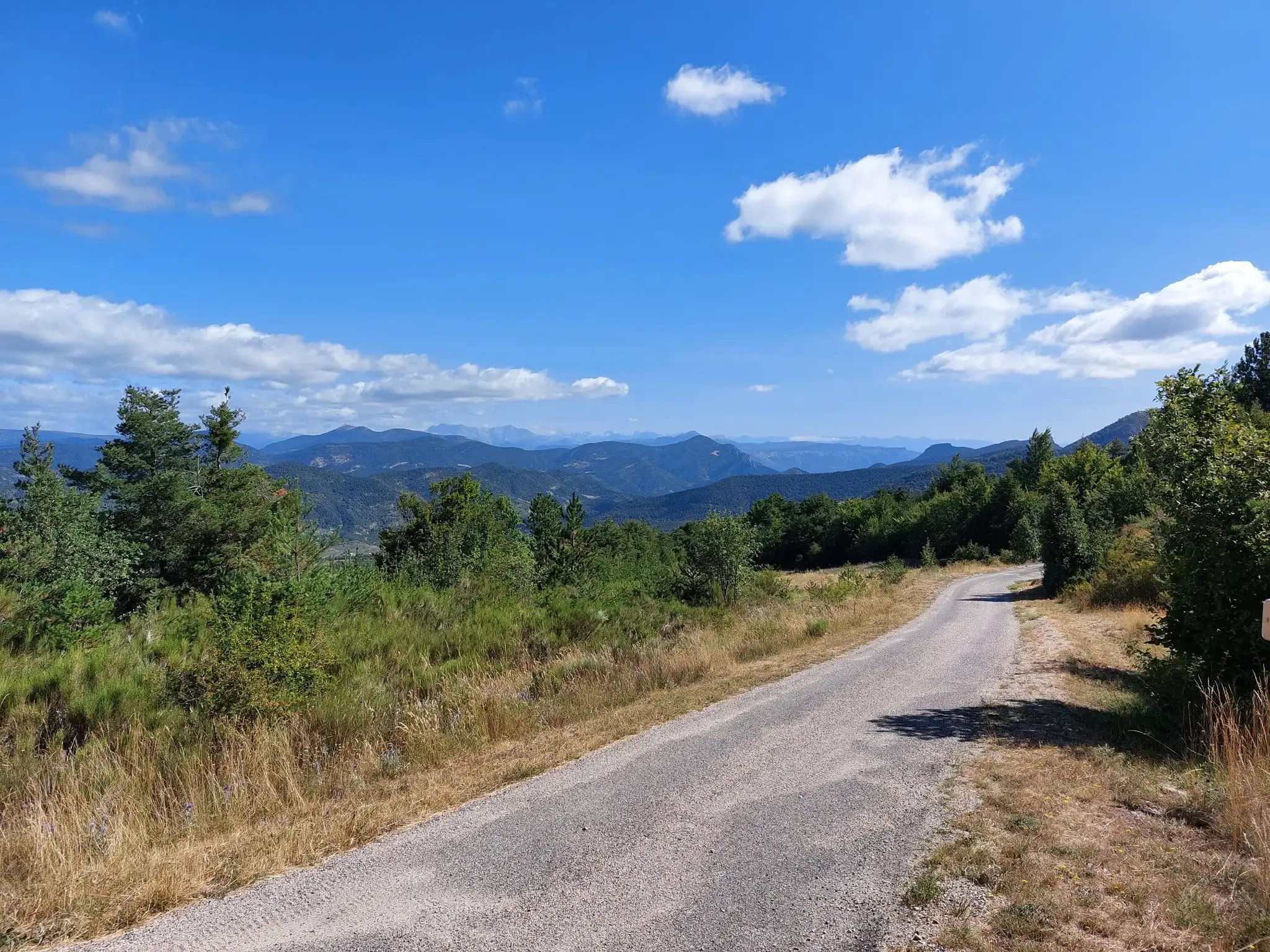
P'tites Routes du Soleil – crossing the pre-Alps from Lake Geneva to Nice
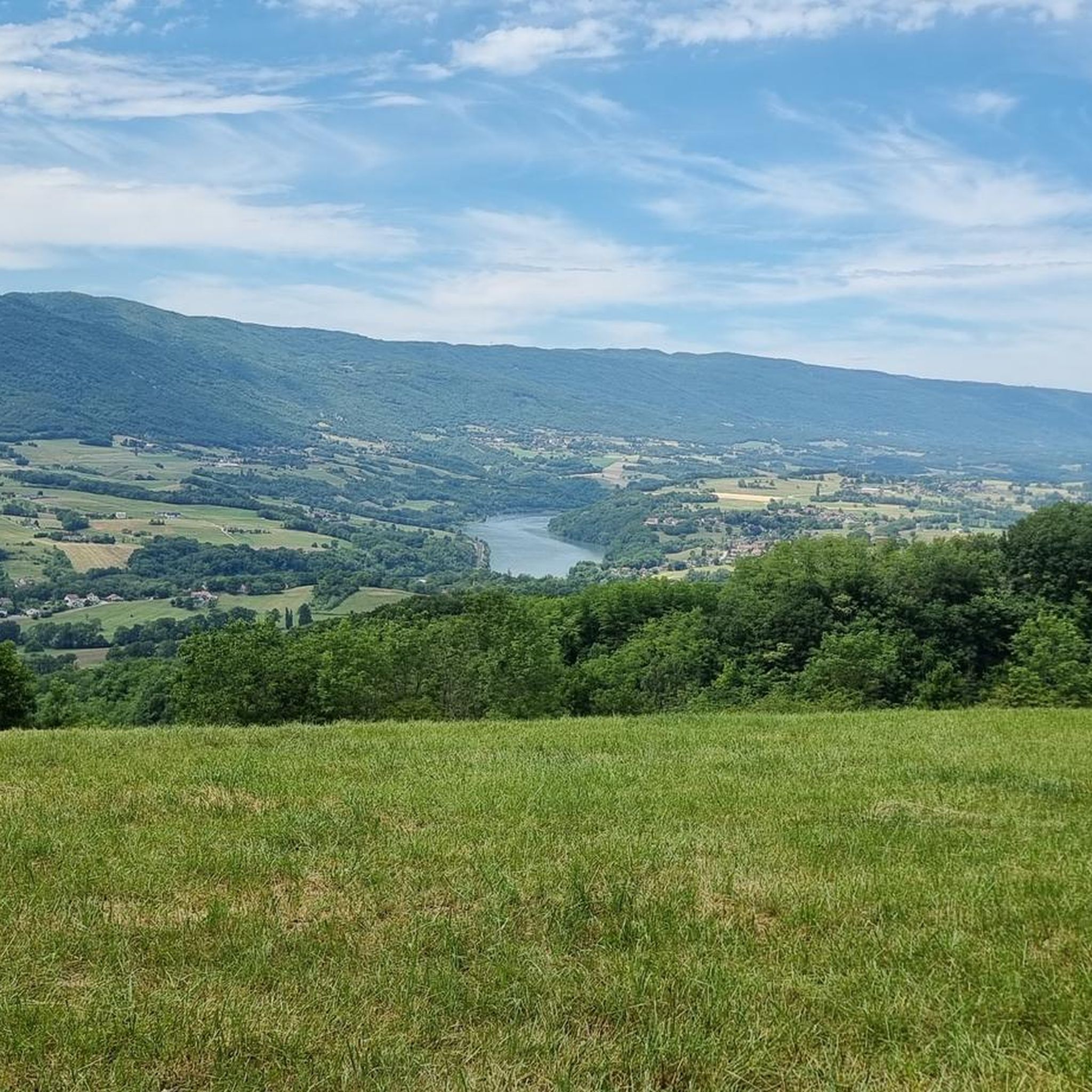
Road Cycling Routes around Crempigny-Bonneguête
Hiking around Crempigny-Bonneguête
Cycling around Crempigny-Bonneguête
Running Trails around Crempigny-Bonneguête

Gravel biking around Crempigny-Bonneguête
MTB Trails around Crempigny-Bonneguête
Other adventures around Crempigny-Bonneguête

Tips from the Community

Of the four access routes to the Col du Grand Colombier, the ascent from Anglefort is probably the most difficult, especially over the first ten kilometers, which average 10%. The last five kilometers are less steep, with even a short flat section at the eleventh kilometer.
1
0

A few kilometers south of the Grand Colombier, this pass at 1316 meters is at the intersection of the Arvière valley, the Grand Colombier and the Sur Lyand ridges.
0
0

Located on the heights of Mont Clergeon to the north of Lac du Bourget, the Col du Clergeon – 979 m – has the particularity of belonging to a non-Alpine massif, in this case that of Jura but also to the department of Savoie which is naturally affiliated with the Alps. WEST SIDE This slope starting at Ruffieux, located just opposite the Grand Colombier, has an air copied from that of its illustrious neighbor: certainly shorter with 8.8 km but at 8.5% on average! Around fifteen bends will help you climb the 728 m of positive altitude difference. Still count on a big passage of 1840 m at 10.5% to reach the Col du Clergeon at 979 m above sea level which marks the border with Haute-Savoie. EASTERN SIDE This slope starts at Rumilly in… Haute-Savoie. It offers a positive altitude difference equivalent to the western slope with 772 m but being longer with 15 km, the difficulty is a little less with an average slope of 6.5%. However, the ascent is tricky because it has 2 descents that will have to be climbed back up and a long passage of 3.4 km on a slope of between 8.5 and 9.5%. Small sweetness: the finale won't be too difficult. Sources: Alpes4ever
1
0

Long and difficult climb, fantastic views along the way. Spicy increase percentages.
5
0

Superb panorama. Multiple trails lend themselves to hiking.
0
0

Super nice route with a great view. Partly 14%
3
0

Legendary laces of the Giant of Bugey. The view is earned at the cost of high percentage from the first ramps of the pass but it's worth it.
3
0

The laces follow one after the other without a straight line! Waohhhh! To do absolutely! Mythical place of the Tour de France.
3
0
Frequently Asked Questions
Which mountain passes are suitable for beginners or less experienced cyclists?
For those new to mountain cycling, the Col de Leschaux is an excellent choice. Located at 900 meters, it offers a long, linear route with gentle curves, an average slope of 3.7%, and a difficulty level of 191, making it a good warm-up for more challenging climbs.
Are there challenging mountain passes for experienced cyclists in the region?
Yes, several passes offer a significant challenge. The Ascent of Col du Grand Colombier from Culoz is an 18-kilometer climb with sections reaching almost 15% gradient, famous for its tight switchbacks and appearances in the Tour de France. The Col de la Colombière also features steep sections towards the top, and the Col de la Biche is known for percentages that warm the legs. Additionally, the local Côte de Droisy from Crempigny-Bonneguête is a short but steep ascent with a 9% average gradient.
Which mountain passes offer the best panoramic views?
The Col de la Forclaz, at 1150 meters, provides a superb panoramic view plunging down onto Lake Annecy and the surrounding peaks. The Col des Aravis offers beautiful vistas of the Aravis massif and, on clear days, Mont Blanc. Similarly, the Col de la Colombière provides beautiful surroundings and views, with Mont Blanc visible on clear days. The Charbemènes Pass also offers forest trails and viewpoints at the intersection of the Arvière valley and the Grand Colombier ridges.
Are there any quiet or less-trafficked mountain passes for a peaceful ride?
The Col du Clergeon is known as a quiet route between Chautagne and Rumilly, with very little car traffic compared to its neighbors. The climb from Moye is described as a beautiful forest climb, making it ideal for a peaceful experience.
What outdoor activities can I do near the mountain passes around Crempigny-Bonneguête?
Beyond cycling the passes, the region offers diverse outdoor activities. You can explore various routes for gravel biking, hiking, and running. For more details on these activities, you can check out the dedicated guides such as Gravel biking around Crempigny-Bonneguête, Hiking around Crempigny-Bonneguête, and Running Trails around Crempigny-Bonneguête.
Are there hiking opportunities near these mountain passes?
Yes, several mountain passes serve as excellent starting points for hikes. The Col des Aravis, for instance, is a gateway to various trails, including a family-friendly walk to the Chalet du Curé. The Montagne des Princes, near Crempigny-Bonneguête, also offers moderate hiking loops like the 'Mont des Princes – Princes' Mountain loop'. You can find more hiking options in the Hiking around Crempigny-Bonneguête guide.
What kind of natural scenery can I expect to see?
The region around Crempigny-Bonneguête and its mountain passes is characterized by diverse natural beauty. You'll encounter pastures and forests on the flanks of the Montagne des Princes, scenic views of Lake Annecy from passes like Col de Leschaux and Col de la Forclaz, and the majestic Aravis massif and Mont Blanc from higher passes such as Col des Aravis and Col de la Colombière.
When is the best time to visit the mountain passes in this region?
The summer months are generally the best time to visit the mountain passes, especially for cycling and hiking, as the roads are clear of snow and the weather is most favorable. This allows for clear views and enjoyable conditions across mountain pastures.
Are there facilities like restaurants or cafes at the mountain pass summits?
Yes, several passes offer amenities. The Col de Leschaux has a bar/restaurant at the pass. At the summit of the Col des Aravis, you'll find restaurants, and the Col de la Colombière also provides facilities such as restaurants and cafes, perfect for a break during your ascent or descent.
Are the mountain passes around Crempigny-Bonneguête suitable for families?
While many passes are challenging for young children on bikes, some offer family-friendly activities. For example, the Col des Aravis is a starting point for several hikes, including a family walk to the Chalet du Curé. The general area of Crempigny-Bonneguête, with its pastures and forests, also provides opportunities for easier walks and enjoying nature.
What do visitors enjoy most about the mountain passes in this area?
Visitors frequently appreciate the stunning panoramic views, especially those overlooking Lake Annecy from passes like Col de la Forclaz, and the majestic sight of Mont Blanc from Col des Aravis and Col de la Colombière. The challenging yet rewarding climbs, particularly those featured in the Tour de France like the Ascent of Col du Grand Colombier from Culoz, are also highly valued by cyclists. The quiet routes and beautiful forest climbs, such as those found on the Col du Clergeon, also contribute to a memorable experience.
Most popular routes around Crempigny-Bonneguête
Most popular attractions around Crempigny-Bonneguête

Get inspired with the komoot mobile app


Explore more
See even more epic mountain passes by checking out these guides around Crempigny-Bonneguête:
