Babiogórski Park Narodowy
Babiogórski Park Narodowy
Top 5 Mountain Passes around Babiogórski Park Narodowy
Best mountain passes around Babiogórski Park Narodowy are located in the Western Beskids, offering access to the Babia Góra massif. This region is characterized by its significant mountain passes that serve as key points for exploration and provide diverse natural landscapes. The park's terrain includes both accessible passes and higher-elevation points within the massif. It is a notable area for those seeking to experience the natural features of the Żywiec Beskids.
Best mountain passes around Babiogórski Park Narodowy
- The most…
Last updated: September 29, 2026
Harrow Pass
Highlight • Mountain Pass
Translated by Google •
Tip by

Krowiarki Pass
Highlight • Mountain Pass
Tip by

Sign up now to discover places like this
Get recommendations on the best single tracks, peaks, & plenty of other exciting outdoor places.
Ascent to Brona Pass from Zawoja Markowa
Highlight (Segment) • Trail
Translated by Google •
Tip by

Ascent to Krowiarki Pass from Zawoja
Highlight (Segment) • Mountain Pass
Translated by Google •
Tip by

Ascent to the Krowiarki Pass from Zubrzyca Dolna
Highlight (Segment) • Mountain Pass
Translated by Google •
Tip by
Start today with a free account
Your next adventure awaits.
Popular around Babiogórski Park Narodowy

Main Beskids Trail — the longest Polish Mountain Trail
Hiking around Babiogórski Park Narodowy

Mountain Hikes around Babiogórski Park Narodowy
Running Trails around Babiogórski Park Narodowy
Cycling around Babiogórski Park Narodowy
Road Cycling Routes around Babiogórski Park Narodowy
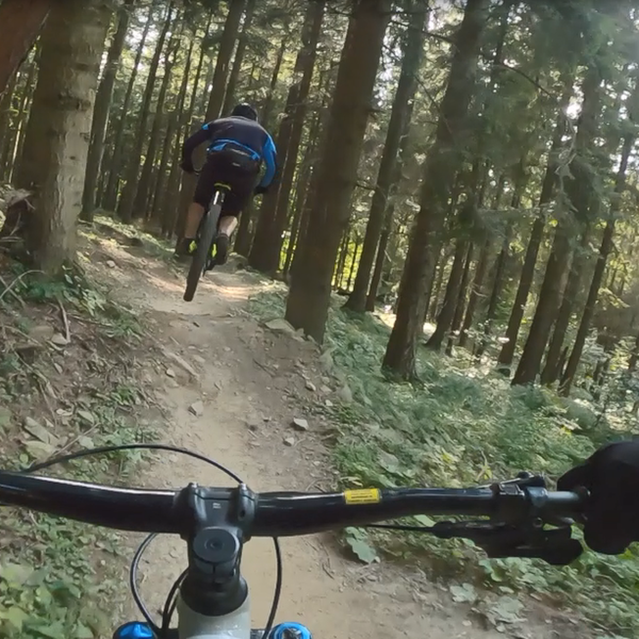
MTB Trails around Babiogórski Park Narodowy

Gravel biking around Babiogórski Park Narodowy
Other adventures around Babiogórski Park Narodowy

Tips from the Community

A resting place before or after climbing Babia Góra. From Przełęcz, you can also hike to Cyl (Little Babia Góra), which is less than 30 minutes away.
0
0


Krowiarki Pass. Here you'll find a bus stop, parking, and the Babia Góra National Park ticket office (tickets can also be purchased online on the Babia Góra National Park website – 8 PLN, concessions 4 PLN). There's also a toi-toi and a souvenir shop.
0
0

Here starts the route and directly the climb to the top of the Babia Gora mountain. Please note that this is a national park and you have to buy entrance tickets. (Costs in 2023 - €3 p.p.) solid climb of about 800 meters in height over 3.5 kilometers in length.
0
0

The ascent to Przełęcz Krowiarki from Zubrzyca Dolna is 11.5 km long, with a 340 m elevation gain. The average gradient is 3%. The first 8 km are quite gentle, then the gradient increases to 5-8%. The asphalt is very nice and smooth.
1
0
One of two road climbs to the Krowiarki pass. Starting from the roundabout in Zawoja, we cover 9.2 km and 410 m of elevation, with an average gradient of 4.5%. The asphalt is new and very nice, the views especially in the first part. On weekends and in the summer months, car traffic can be heavy. Two interesting serpentines along the way, if you plan to return the same way.
2
0

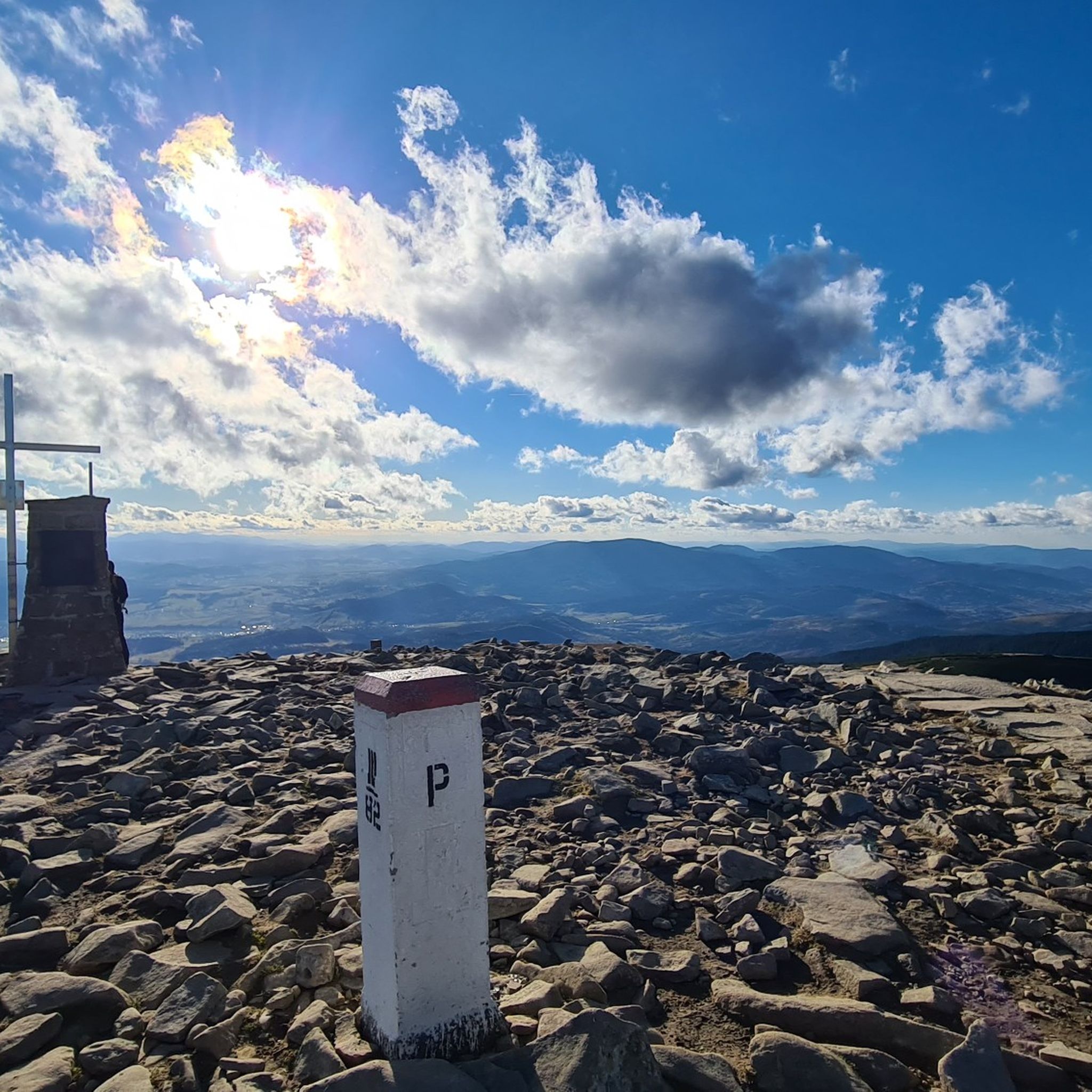
The Brona Pass is at an altitude of 1412m above sea level and divides the Babia Góra massif into eastern and western parts. There are several gorges and a pond near the pass. The name of the pass ("brona") comes from the old Polish "brama" and has been called that since 1925. Previously, it was called Siodło.
1
0

A nice approach to the trail, something different than the usual Krowiarki
1
0
Frequently Asked Questions
What are some popular mountain passes in Babiogórski Park Narodowy?
Two of the most notable passes are Brona Pass and Krowiarki Pass. Brona Pass is a high-mountain pass known for its panoramic views, while Krowiarki Pass is a popular and accessible starting point for expeditions into the Babia Góra massif.
What makes Krowiarki Pass a key entry point to Babiogórski Park Narodowy?
Krowiarki Pass is the highest mountain pass in the Western Beskids accessible by road, with Voivodeship Road No. 957 passing through it. It serves as the most popular and easiest starting point for the ascent to Babia Góra (Diablak), offering both challenging red trails and more pleasant blue trails to the Markowe Szczawiny shelter. It also features a tourist information point and ticket booth for park entry.
What can I expect to see at Brona Pass?
Brona Pass, situated at around 1,408 to 1,412 meters above sea level, offers impressive panoramic views, including the Tatra Mountains and the surrounding Beskids on clear days. It provides a dramatic perspective of the Diablak peak and the Kościółki ridge. The area around the pass exhibits subalpine vegetation, with dwarf mountain pine prevalent.
Are there hiking trails accessible from the mountain passes?
Yes, the mountain passes serve as excellent starting points for various hikes. From Krowiarki Pass, you can access the red trail (part of the Main Beskid Trail) leading directly to Babia Góra, or a blue trail to the Markowe Szczawiny shelter. Brona Pass is a key junction on the Main Beskid Trail itself, connecting different parts of the Babia Góra massif. For more options, explore the easy hikes around Babiogórski Park Narodowy.
Can I cycle to any of the mountain passes in the region?
Yes, there are specific routes designed for cycling to the passes. For instance, the Ascent to Krowiarki Pass from Zawoja is a popular cycle way covering 9.2 km with 410 meters of elevation gain on new asphalt. Another option is the Ascent to the Krowiarki Pass from Zubrzyca Dolna, which is 11.5 km long with a 340 m elevation gain. You can find more cycling routes in the Cycling around Babiogórski Park Narodowy guide.
What facilities are available at Krowiarki Pass?
Krowiarki Pass offers a large paid parking lot, a tourist information point, and a ticket office for entry into Babiogórski Park Narodowy. You can also purchase drinks and snacks there. It's a convenient spot to prepare for your mountain adventures.
What is the historical significance of Krowiarki Pass?
The pass features a large clearing, also called Krowiarki, which was historically used for grazing cows, hence its name. A granite obelisk commemorates Karol Wojtyła (later Pope John Paul II), who worked on the road construction here in 1938, adding a layer of historical interest to the site.
What is the best time to visit the mountain passes in Babiogórski Park Narodowy?
The passes are accessible throughout the year, but the best time depends on your activity. Summer and early autumn offer ideal conditions for hiking and cycling with clear views. Winter ascents to Babia Góra from Krowiarki Pass are also possible for experienced hikers with appropriate preparation, offering a unique experience of the snow-covered landscape.
Are there any challenging routes to the mountain passes?
Yes, for those seeking a challenge, the red trail from Krowiarki Pass to Babia Góra is quite demanding. The descent from Brona Pass towards Markowe Szczawiny is also steep, losing nearly 250 meters in elevation over one kilometer. For more challenging cycling, consider routes like the Gravel biking around Babiogórski Park Narodowy guide.
What kind of natural features can I observe around the mountain passes?
The region is characterized by diverse natural landscapes. At higher elevations like Brona Pass, you'll find subalpine vegetation, including dwarf mountain pine. The passes offer scenic views of the Babia Góra massif and surrounding ranges. The area is part of Babiogórski Park Narodowy, known for its unique flora and fauna.
Where can I find more information about Babiogórski Park Narodowy?
For official information regarding Babiogórski Park Narodowy, including entry regulations and current conditions, you can visit the park's official website: bgpn.gov.pl.
Most popular routes around Babiogórski Park Narodowy
Most popular attractions around Babiogórski Park Narodowy

Get inspired with the komoot mobile app


Explore more
See even more epic mountain passes by checking out these guides around Babiogórski Park Narodowy:
