The 7 Most Amazing Peaks around Emmerich am Rhein
Best mountain peaks near Emmerich am Rhein are found in the Lower Rhine region of Germany, an area characterized by a generally flat landscape. While not featuring towering peaks, the region offers notable elevated areas and hills. The Eltenberg, rising to 82 meters above sea level, is a significant landmark within the municipality, providing scenic views and historical sites like the Drususbrunnen and St. Vitus Church. These elevations contribute to the area's recreational value, offering opportunities for cycling and hiking.
…Last updated: June 27, 2026
Hulzenberg Lookout Tower
Highlight • Viewpoint
Translated by Google •
Tip by

Rupenberg – Highest Point of the Reichswald (96 m)
Highlight • Summit
Translated by Google •
Tip by

Sign up now to discover places like this
Get recommendations on the best single tracks, peaks, & plenty of other exciting outdoor places.
Sign up for free
Butterberg Summit Benches
Highlight • Summit
Translated by Google •
Tip by
Köhlerberg
Highlight • Summit
Translated by Google •
Tip by

Hettenheuvel
Highlight • Summit
Translated by Google •
Tip by

Sign up for free to discover even more peaks around Emmerich am Rhein.
Sign up for free
Already have an account?
Start today with a free account
Your next adventure awaits.
Login or Signup
Popular around Emmerich am Rhein
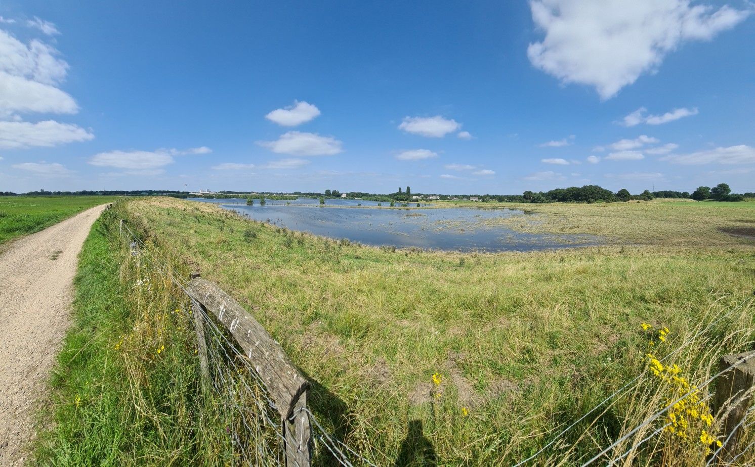
Trans Netherlands MTB Route – The ultimate off-road adventure
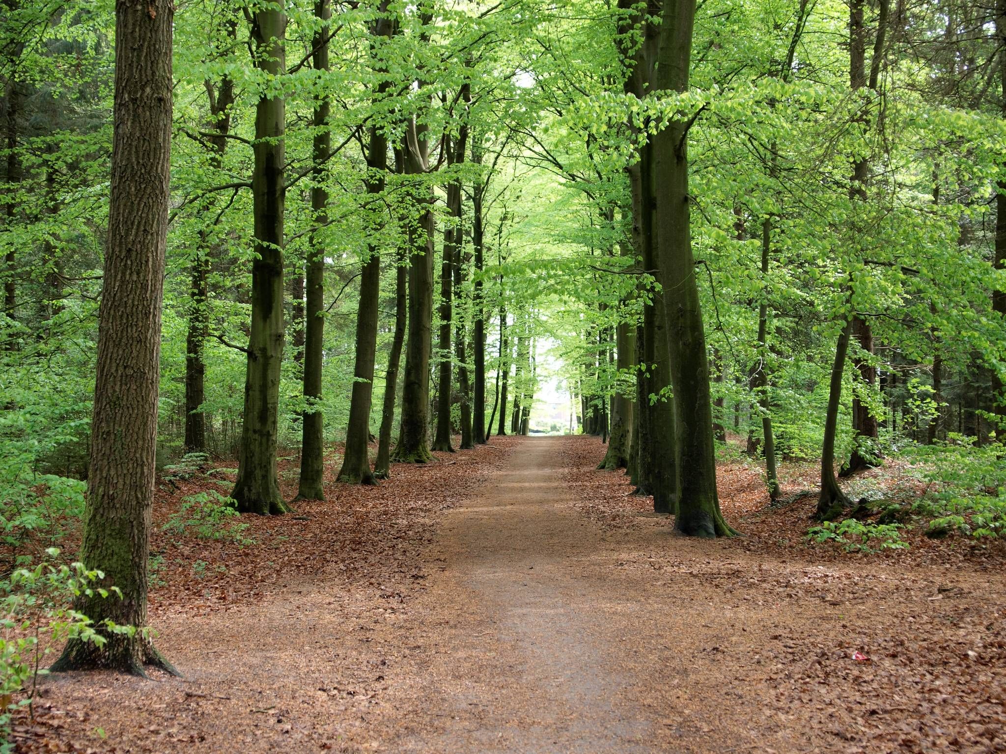
The way is the goal – Lower Rhein Route
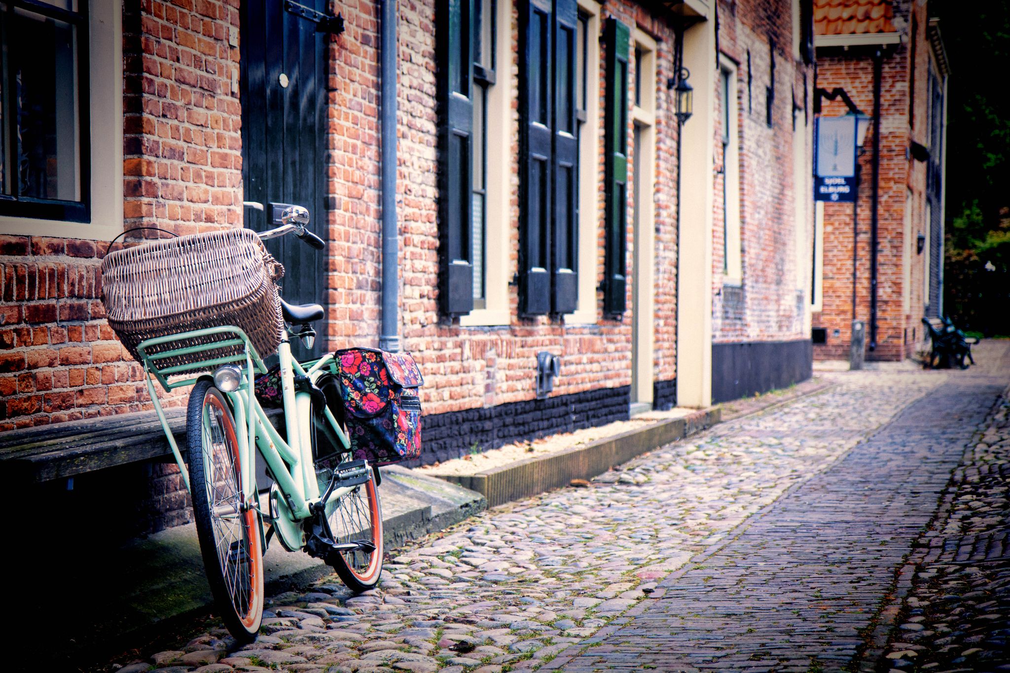
Wonderful round trips along the German and Dutch Hanser Route
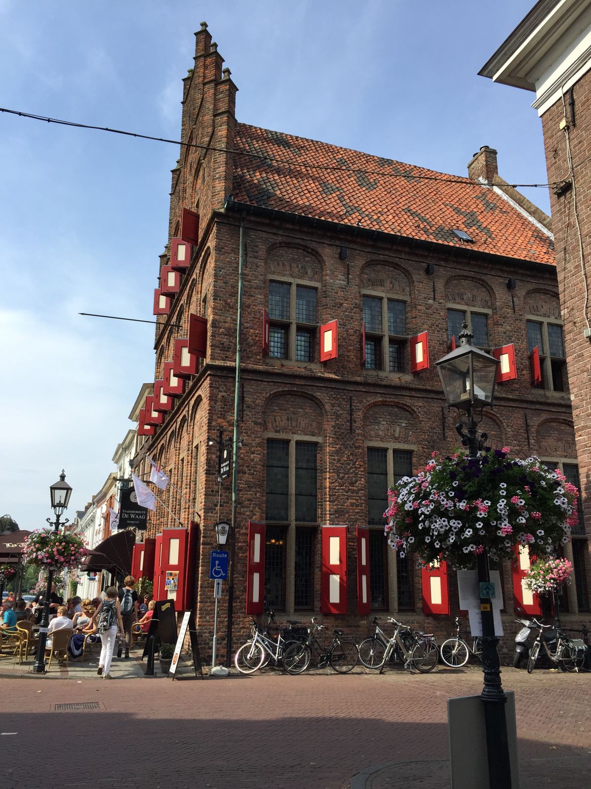
From Germany to the Netherlands — explore the Hansa Cycle Route
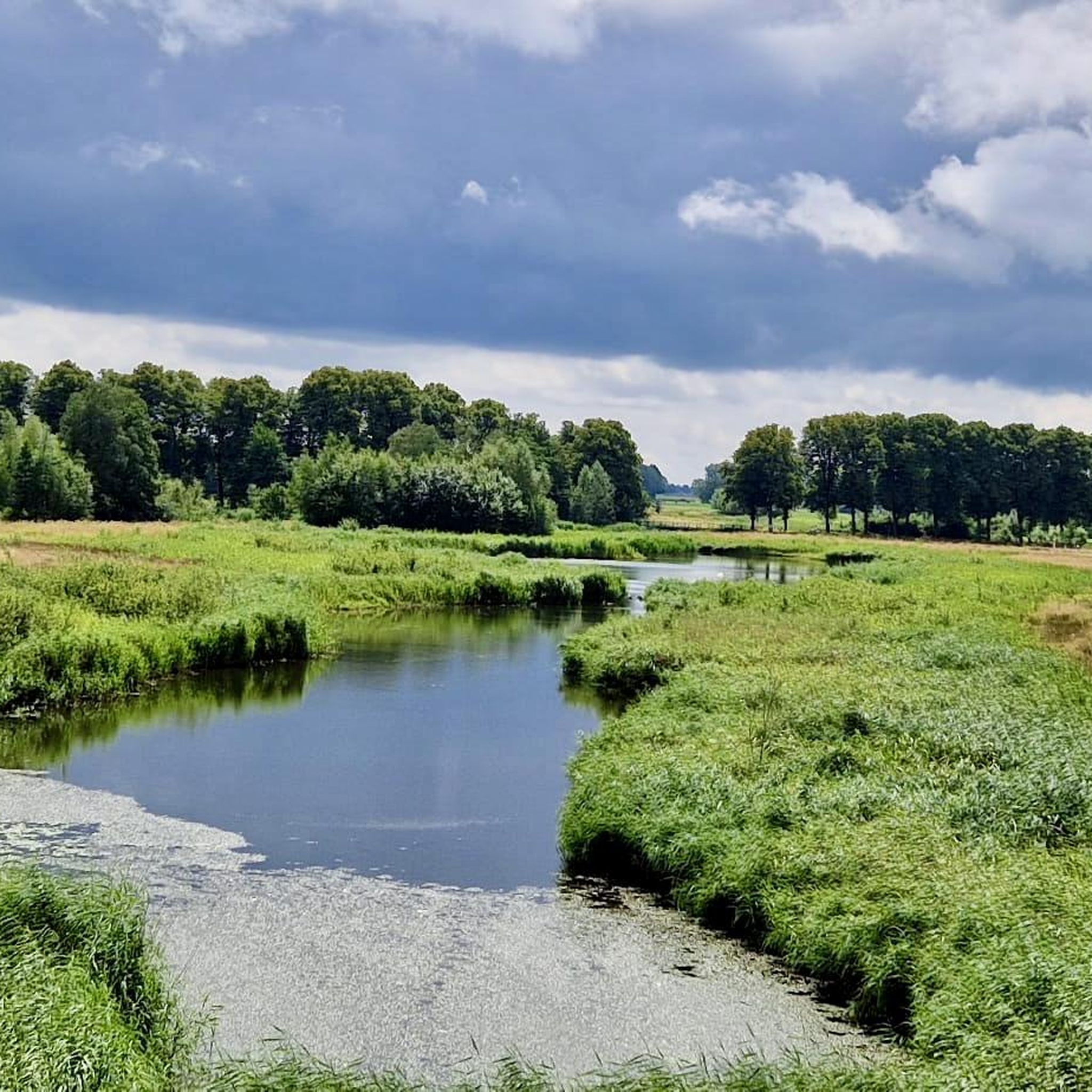
Cycling around Emmerich am Rhein
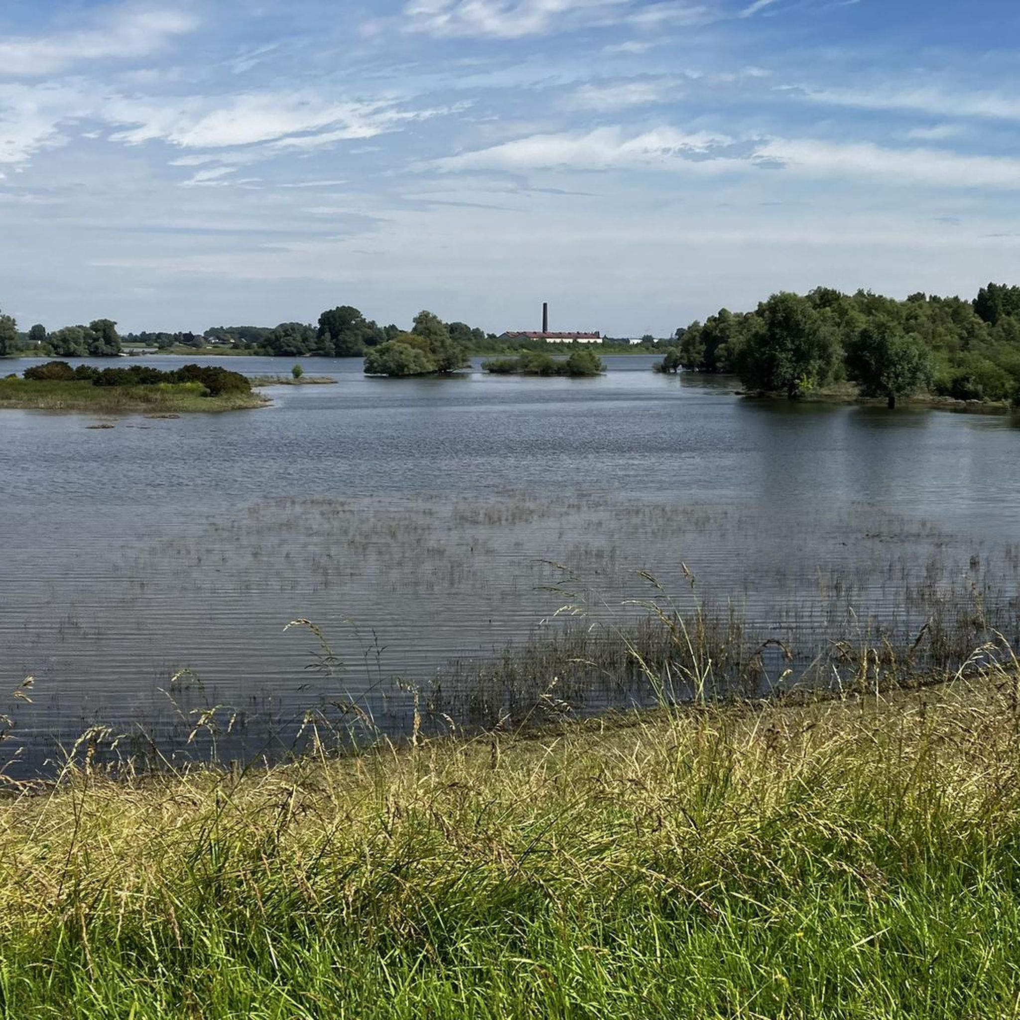
Road Cycling Routes around Emmerich am Rhein
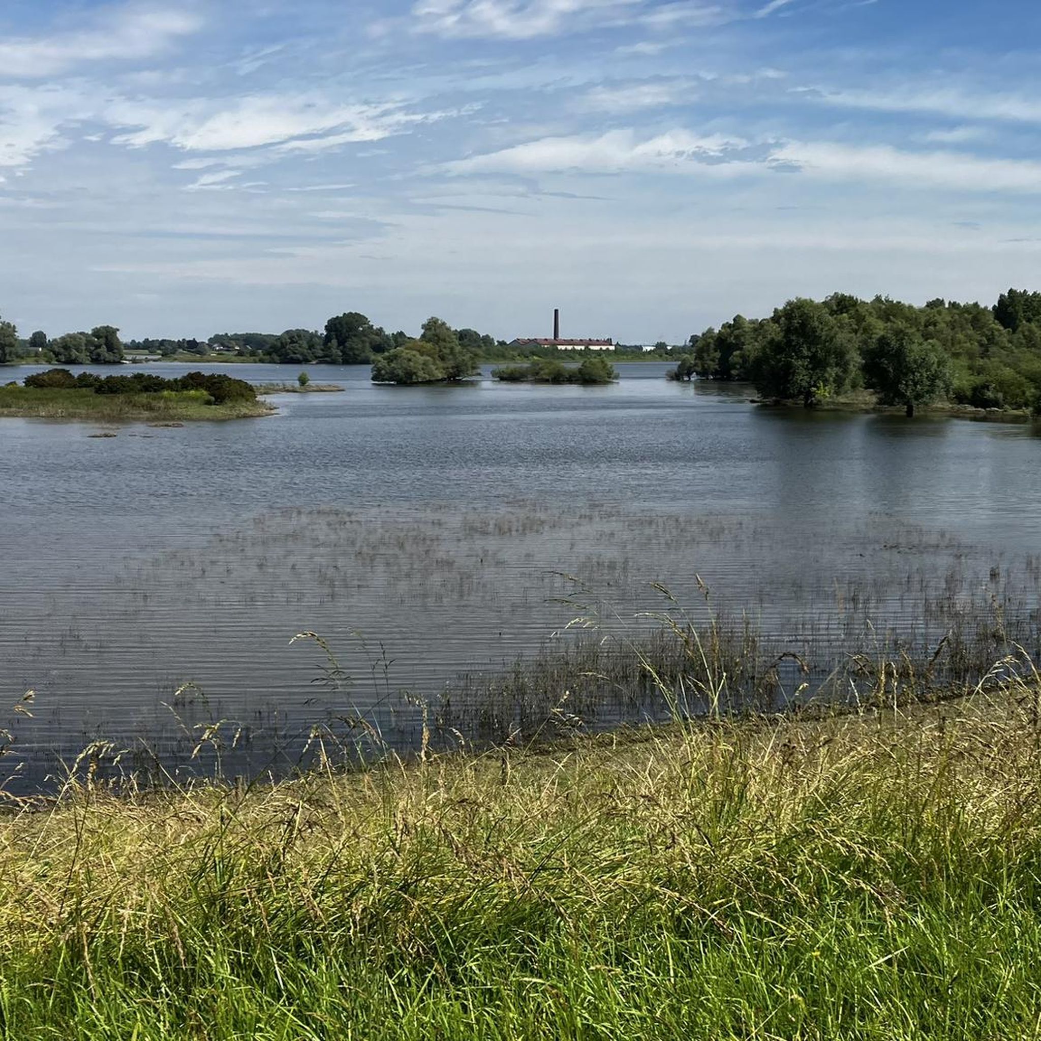
Hiking around Emmerich am Rhein
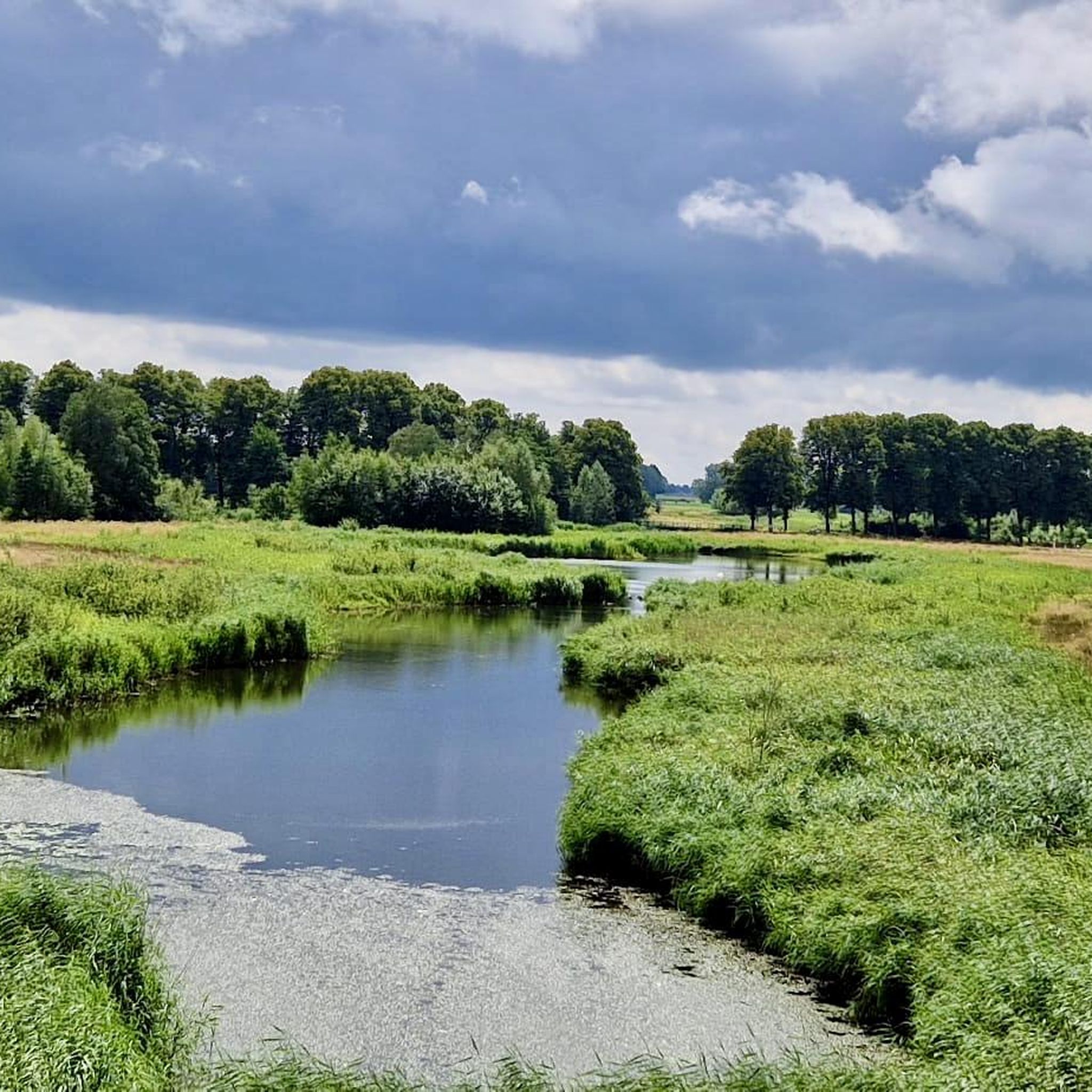
Running Trails around Emmerich am Rhein
MTB Trails around Emmerich am Rhein

Gravel biking around Emmerich am Rhein
Other adventures around Emmerich am Rhein


Tips from the Community

The hill there is called "Köhlerberg" (Charcoal Burner's Hill) and gets its name from a charcoal kiln site. http://ar11.de/www.ar11.de/Alben/Seiten/Kohlerberg.html
0
0

From the Hulzenberg lookout tower you have an amazing view of the area. The tower itself is 21 meters high, but once you are at the top you are almost 100 meters above NAP.
9
0

Interesting and educational corner. Very interesting especially for children.
1
1

The Hettenheuvel is the highest hill in the Montferland with a height of 91.6 meters. Fun fact: the Pieterpad also runs over the hill. The hill is completely covered with trees, both deciduous and coniferous. North of the top, a viewpoint "Kale Jakob" has been created where you have a beautiful view towards the Veluwezoom. On the hill you will also find an information board about the 'Rijksdriehoeksmeetpunt'. High points in the landscape, such as the Hettenheuvel, were measured relative to each other so that the landscape could be mapped.
2
0

Wooden observation tower with a great view over the Montferland, to Kleve and to Nijmegen.
14
0

Located between 🇳🇱s'Heerenberg & Emmerich Elten 🇩🇪 in Bergherbos 🌳🌲🧭 ⛰️Hulzenberg itself is 82.4 meters above sea level, the observation tower itself is about 21 meters high. Great panoramic view on the lower Lower Rhine 🎨📸
11
0

There used to be a big tree here. Where the root used to be, there is now a large hollow that the children use as a cycle track. In addition, they have built tips.
2
0

The highest of many "mountains" in the Reichswald. After all, we managed 600 m in 21 "mountains"!
2
0
Frequently Asked Questions
What are some of the most popular elevated points to visit around Emmerich am Rhein?
Visitors frequently enjoy the Hulzenberg Lookout Tower, which offers expansive panoramic views from nearly 100 meters above sea level. Another popular spot is the Rupenberg – Highest Point of the Reichswald (96 m), known for being the highest elevation in the Reichswald.
What kind of views can I expect from the elevated points in the Emmerich am Rhein area?
From elevated points like the Hulzenberg Lookout Tower, you can expect amazing panoramic views of the Lower Rhine countryside, often extending across the German-Dutch border. The Butterberg Summit Benches also offer beautiful views and a peaceful setting to enjoy nature.
Are there challenging climbs or trails among the peaks near Emmerich am Rhein?
While the region is generally flat, some elevated areas offer more challenging sections. The Kohlenberg, for instance, is known for its challenging climbs within a peaceful forest environment. The Eltenberg is also popular for cycling, with a 1.3-kilometer climb and an average gradient of 4.5%.
Where can I find easy or family-friendly walks among the elevated areas?
Many of the elevated points, such as the Hulzenberg Lookout Tower, Rupenberg, and Kohlenberg, are categorized as family-friendly. These areas often feature well-maintained paths suitable for leisurely walks and offer opportunities for children to explore, such as the hollow at Kohlenberg used as a cycle track.
What outdoor activities, besides hiking, can I enjoy near these elevated points?
The region around Emmerich am Rhein is excellent for cycling. The Eltenberg is particularly popular for road cycling. You can find various routes for road cycling, mountain biking, and gravel biking. For example, explore Road Cycling Routes around Emmerich am Rhein or MTB Trails around Emmerich am Rhein.
Are there historical or cultural sites to visit on or near these elevated points?
Yes, the Eltenberg is home to significant historical and cultural sites. You can visit the ancient "Drususbrunnen" (Drusus well) and the St. Vitus Church, both located on the Eltenberg, adding a cultural dimension to your visit.
What makes the Eltenberg a significant landmark in the Emmerich am Rhein area?
The Eltenberg, rising to 82 meters above sea level, is a significant landmark within the municipality of Emmerich am Rhein. It offers numerous lookout points with expansive views, and hosts historical sites like the Drususbrunnen and St. Vitus Church. It's also a popular spot for cycling and hiking, contributing greatly to the area's recreational value.
What do visitors enjoy most about the elevated points around Emmerich am Rhein?
Visitors appreciate the peaceful forest environments, the fresh air, and the opportunity to come to rest and listen to nature. Many enjoy the panoramic views, especially from spots like the Hulzenberg Lookout Tower, and the sense of accomplishment from tackling the modest climbs. The community has shared over 700 photos and given over 900 upvotes to these highlights.
Can I find places to rest and enjoy the scenery on these elevated points?
Yes, several spots are ideal for resting and enjoying the views. The Butterberg Summit Benches, for example, offer a ring of benches perfect for groups or individuals to relax. There's also a new bench at the Top of Eltenberg.
What is the highest point in the Reichswald near Emmerich am Rhein?
The highest point in the Reichswald is the Rupenberg (96 m). A small, somewhat hidden path leads to the Rupenberg stone, marking this elevated spot.
Are there specific tips for visiting the Hulzenberg Lookout Tower?
When visiting the Hulzenberg Lookout Tower, be prepared for a 21-meter climb to the top, where you'll be almost 100 meters above sea level. It's especially recommended to visit at sunset for a beautiful view in the direction of Nijmegen.
What should I know about visiting the Kohlenberg?
The Kohlenberg is the easternmost elevation in the Reichswald and can offer quite challenging climbs. It's a peaceful forest environment, and children often enjoy playing in the large hollow where a big tree once stood, using it as a cycle track.
Most popular routes around Emmerich am Rhein
Most popular attractions around Emmerich am Rhein

Get inspired with the komoot mobile app


Explore more
See even more amazing summits around Emmerich am Rhein with these guides:
