The 6 Most Amazing Peaks around Gunzenhausen
Best mountain peaks around Gunzenhausen are found within a region characterized by rolling hills and scenic landscapes, particularly within the Franconian Lake District and the Altmühltal Nature Park. The area offers extensive hiking opportunities and viewpoints. While Gunzenhausen itself is in a flatter area, the broader district features elevated points and natural areas. These locations provide diverse natural beauty and recreational activities for visitors.
Best mountain peaks around Gunzenhausen
- The most popular mountain peaks is Gelber Berg (Gelbe Bürg) Viewpoint…
Last updated: September 30, 2026
Hesselberg Summit
Highlight • Summit
Translated by Google •
Tip by

Hesselberg Landscape Protection Area
Highlight • Natural Monument
Biotope
Geotope
designated 1985, with a size of 1475.5ha
BIOTOP Hesselberg:
The Hesselberg is a retreat for numerous rare and protected plant and animal species. Due …
Translated by Google •
Tip by

Sign up now to discover places like this
Get recommendations on the best single tracks, peaks, & plenty of other exciting outdoor places.
Ascent from Gerolfingen to Hesselberg
Highlight (Segment) • Climb
Translated by Google •
Tip by

Gelber Berg (Gelbe Bürg) Viewpoint
Highlight • Viewpoint
A map shows the directions with prominent sights.
Translated by Google •
Tip by

Ascent from Sammenheim to Gelber Berg
Highlight (Segment) • Climb
Driveway start town exit or junction Sammenheim (altitude 470 m) up to about 1.8 km with about …
Translated by Google •
Tip by

Sign up for free to discover even more peaks around Gunzenhausen.
Already have an account?
Start today with a free account
Your next adventure awaits.
Popular around Gunzenhausen

German Limes Cycle Path – Riding from the Rhine to the Danube
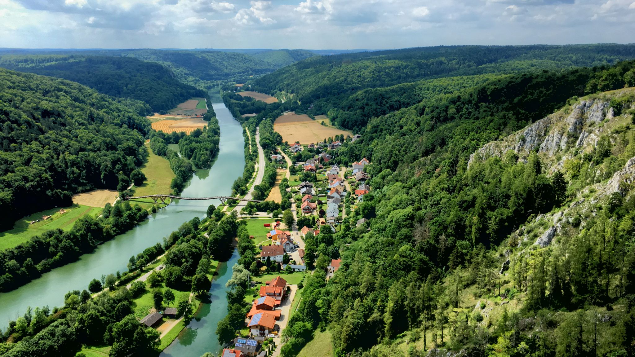
The Altmühltal cycle path — fantastic nature & fairytale castles
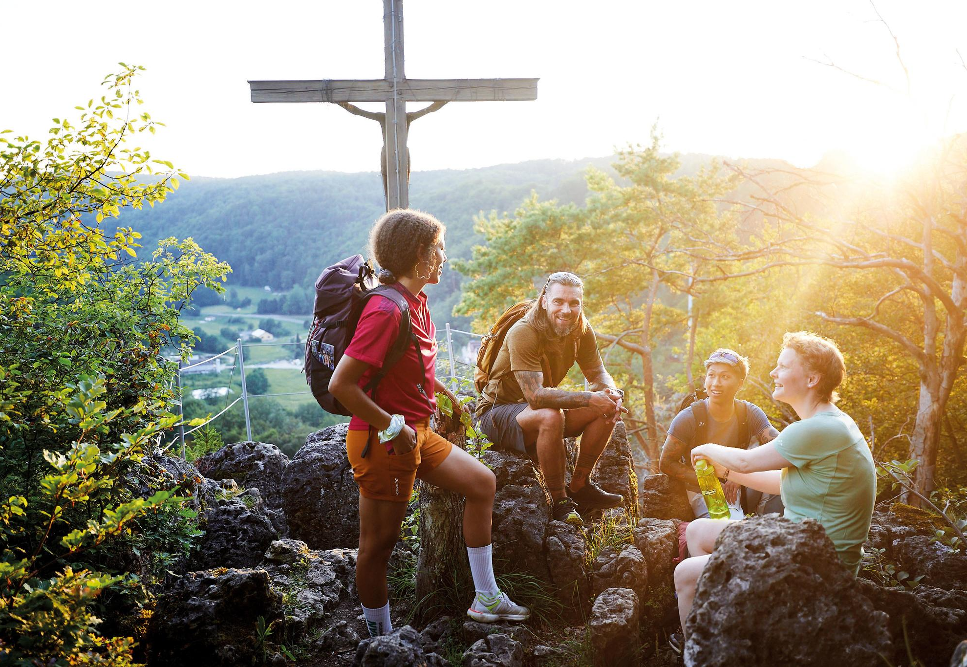
City, country, lake – VGN leisure tips 2025
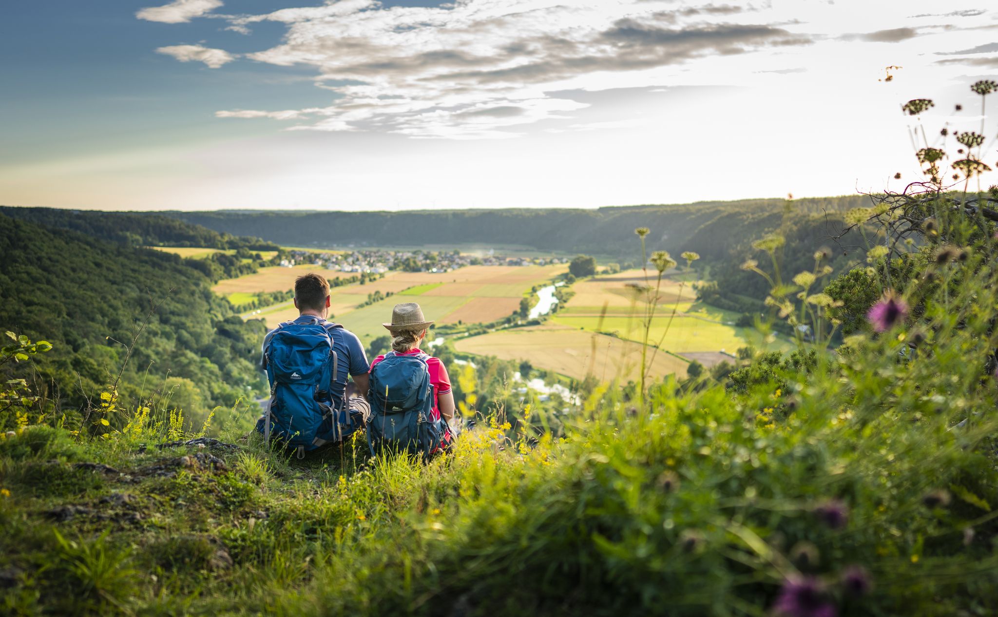
Sunny hiking loops – glorious autumn in the Altmühltal Nature Park
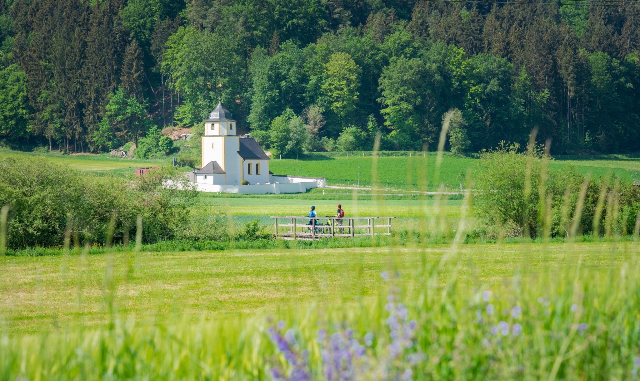
A cycling paradise in Bavaria – Altmühl Valley Nature Park
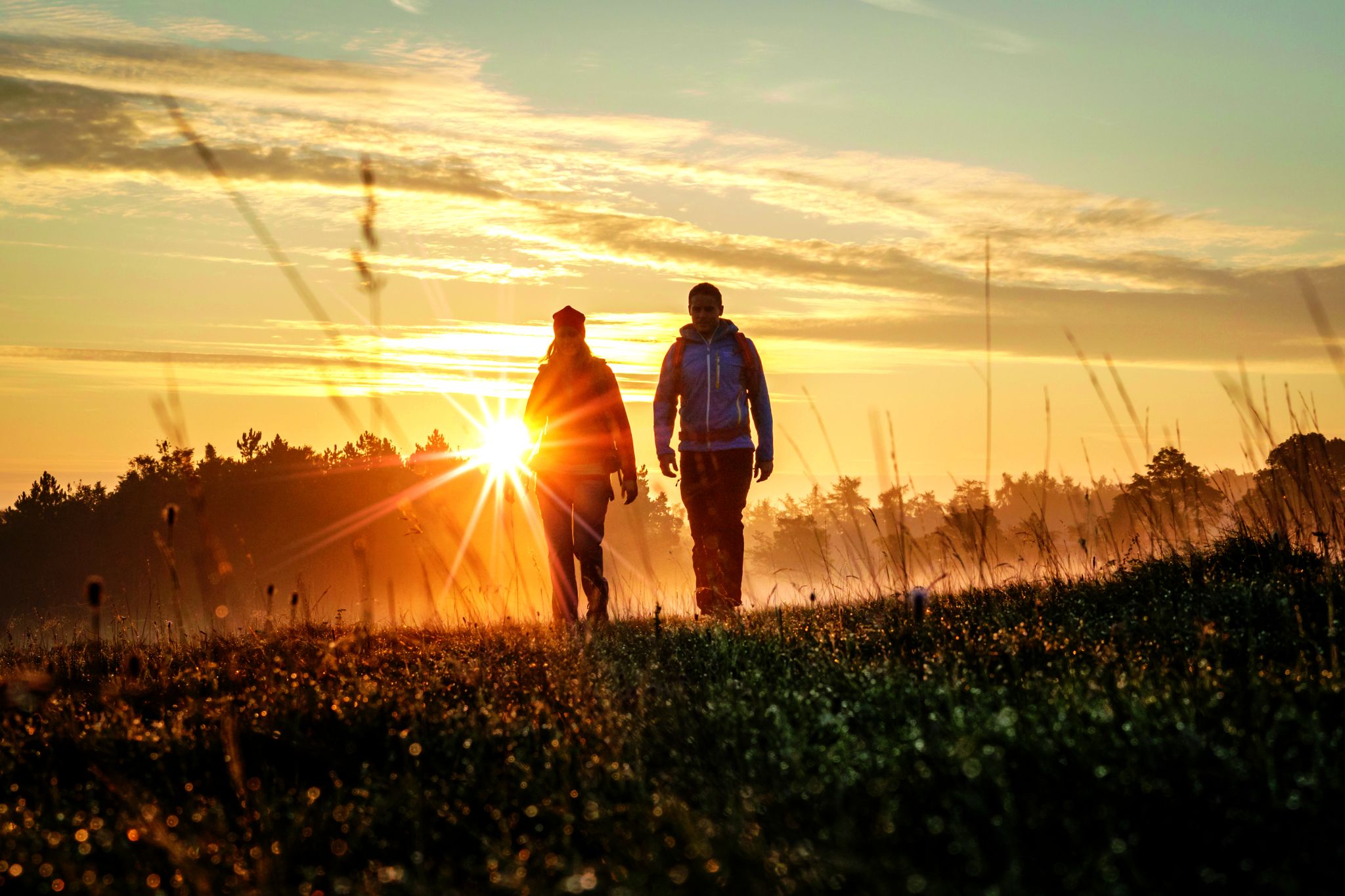
Hikes in the autumnal Altmühltal Nature Park
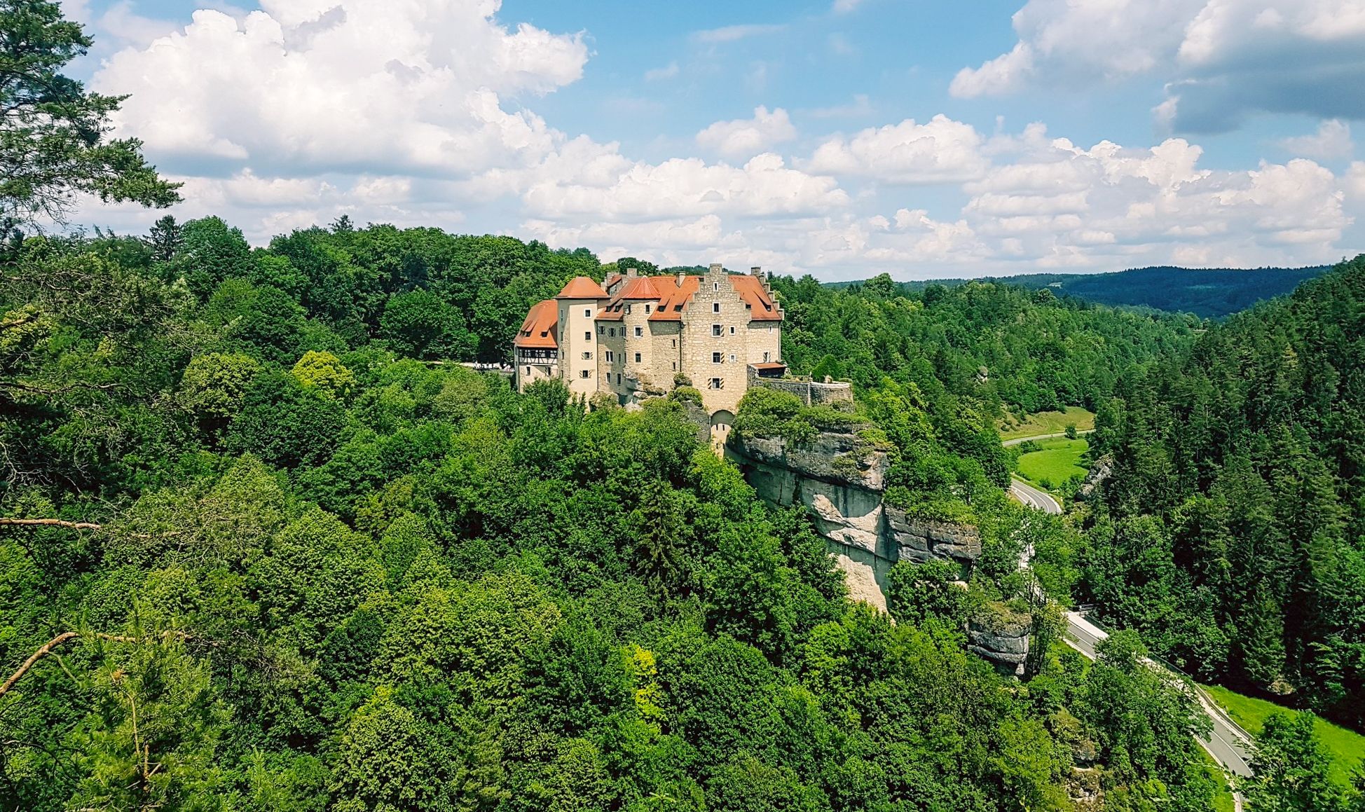
Hikes for tiny boots – VGN recreational activities for families
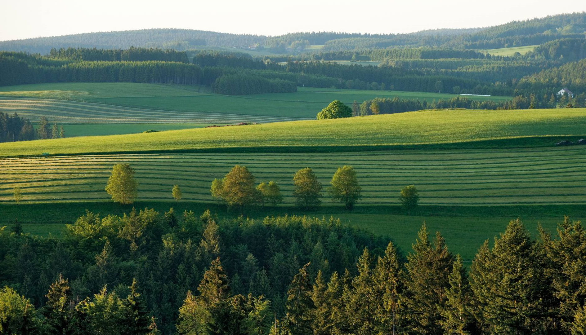
The most beautiful tours for summer and autumn – hiking paradise Franconia
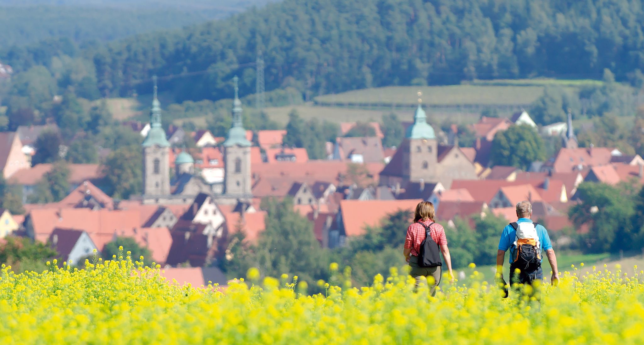
Unforgettable panoramic views — the most beautiful long-distance hikes in Franconia
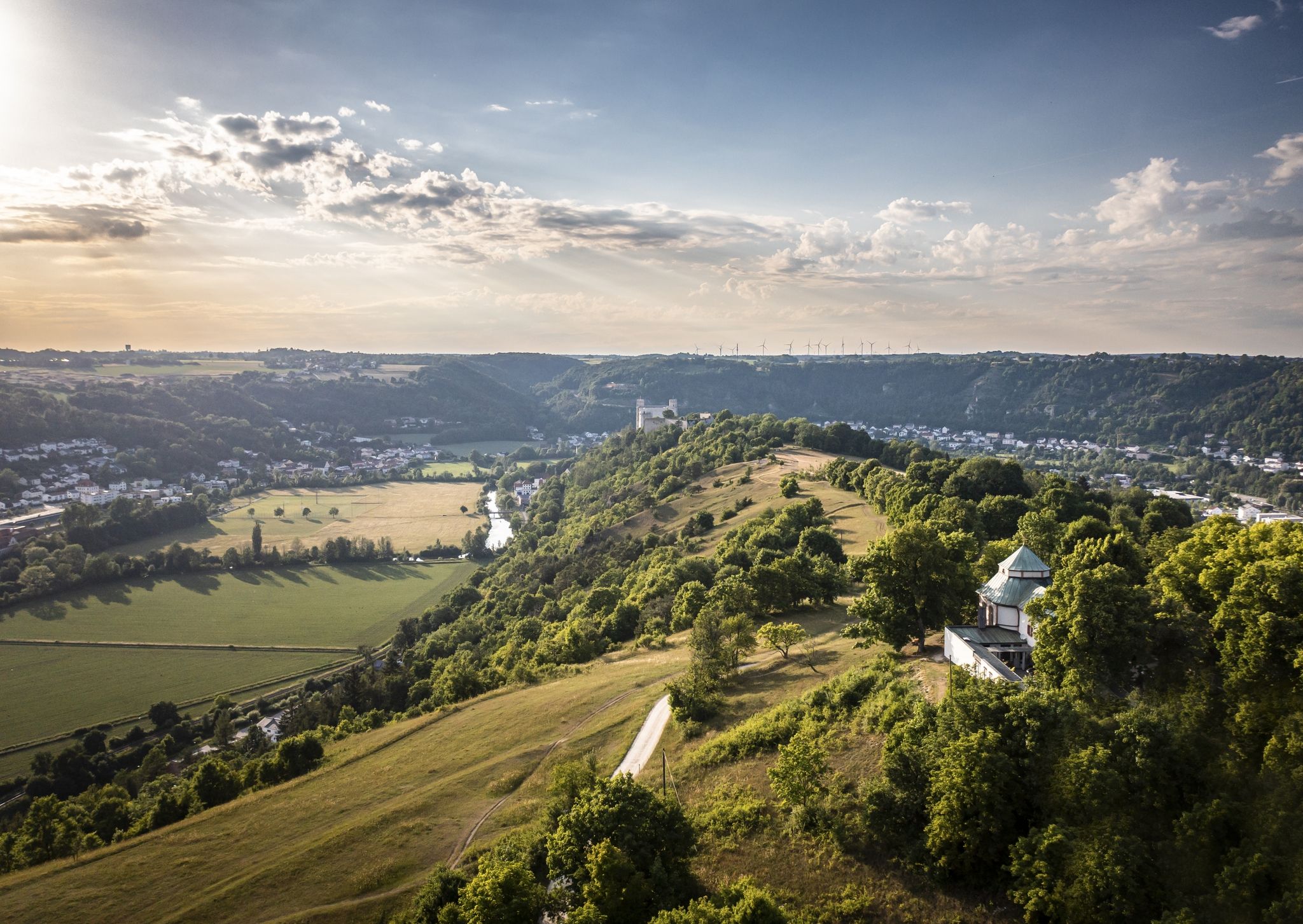
Altmühltal Panorama Trail – Altmühlsee to the Danube
Other adventures around Gunzenhausen


Tips from the Community

There is a free telescope to see the surroundings in more detail, several places to sit and a great view. A map shows the directions with prominent sights.
12
0
There is a free telescope to see the surroundings in more detail, several places to sit and a great view. A map shows the directions with notable sights. The Hesselberg (the highest elevation in Middle Franconia), the Altmühlsee and the Brombachsee are listed. But the small towns with their church towers also fit together wonderfully to create a wonderful panorama.
9
0

The gradient is quite even and without ramps
4
0

On weekends, when the weather is nice, there are often lively excursions. If you want to have a clear path for the descent, it is better to head for the Hesselberg during the week.
4
0

The Yellow Mountain, also known as the Yellow Castle, is home to botanical treasures. Here you should definitely stay on the paths / paths. The view is also fantastically beautiful.
8
0

As a witness mountain (a single mountain in a layered landscape) of the Franconian Jura, the Hesselberg is geologically closely related to the Staffelberg (Lichtenfels district) or the Walberla (Forchheim district). The Hesselberg also has a Nazi past, like so many other things. During the Nazi era, the Franconian Gauleiter Julius Streicher made the Hesselberg a political meeting place for the National Socialists. After the NSDAP came to power, party rallies developed into the Franconian Days, which were held annually until 1939. Alongside the Nuremberg Party Rallies, these were the largest Nazi rallies in Franconia, with up to 100,000 people in attendance. Evidence from this period can no longer be found on the Hesselberg today. Since 1951, the Hesselberg has been in church hands and is, among other things, the venue for the Bavarian Evangelical Church Congress.
10
0

very nice view all around, very quiet place and nice paths
6
0

You can get a stamp here on the summit if you have climbed the Hesselberg. The view is mesmerizing. In good weather you can sometimes even see the Alps. Definitely worth hiking up.
6
0
Frequently Asked Questions
What are the most prominent mountain peaks and viewpoints around Gunzenhausen?
The region around Gunzenhausen offers several notable elevated points. The highest point in the Weißenburg-Gunzenhausen district is Dürrenberg at 673 meters. For panoramic views, visit Gelber Berg (Gelbe Bürg) Viewpoint, which offers expansive vistas of the Gunzenhausen Plain and the Franconian Lake District. Another significant peak is Hesselberg Summit, the highest elevation in Central Franconia at 689 meters, providing extensive views on clear days.
What unique natural features can I discover on these peaks?
The peaks around Gunzenhausen are rich in natural beauty. The Hesselberg Landscape Protection Area is a retreat for numerous rare plant and animal species, featuring extensive dry grass slopes and juniper heather. It's also recognized as one of Bavaria's most beautiful geotopes due to its unique geological formation as a 'witness mountain'. Gelber Berg is also a designated landscape protection area known for its botanical treasures.
Are there any historical sites or cultural landmarks on these mountain peaks?
Yes, several peaks have historical significance. Hesselberg Summit, for instance, is a witness mountain with a complex past, including its use as a political meeting place during the Nazi era and its current role as a venue for church congresses. Gelber Berg has evidence of habitation since the Neolithic period, with finds of stone axes and chert arrowheads.
What is the best time of year to hike the mountain peaks near Gunzenhausen?
Spring and autumn are particularly recommended for hiking the peaks around Gunzenhausen. During these seasons, temperatures are mild, and you can enjoy the beauty of blooming wildflowers or colorful foliage, making for a pleasant outdoor experience.
Are there family-friendly hiking options around Gunzenhausen's peaks?
Yes, the region offers various trails suitable for families. The Hesselberg Landscape Protection Area is noted as family-friendly, offering opportunities to explore nature. The broader Hahnenkamm region also provides hiking routes for all difficulty levels, including easy walks suitable for families.
What kind of hiking trails can I find near Gunzenhausen's mountain peaks?
You'll find a diverse range of hiking trails, from easy walks to more challenging routes. The Hahnenkamm region offers various options, and the extensive Altmühltal Panorama Trail, though not a single peak, provides breathtaking views over 200 kilometers, including sections with juniper heaths and romantic rock landscapes. For more options, explore the Hiking around Gunzenhausen guide.
What other outdoor activities are available near these mountain peaks?
Beyond hiking, the area around Gunzenhausen is excellent for cycling. The Hesselberg is a popular destination for cyclists, with challenging ascents like the Ascent from Gerolfingen to Hesselberg. You can also find various MTB trails, such as those listed in the MTB Trails around Gunzenhausen guide, which include routes around the Altmühlsee and Brombach Lake.
Where can I find easy hiking routes around Gunzenhausen?
For easier hikes, consider routes around the Altmühlsee. The Easy hikes around Gunzenhausen guide features trails like the Gunzenhausen Forest Adventure Trail and various loops around Altmühlsee, which are generally easy in difficulty.
Are there any specific viewpoints that offer exceptional panoramic views?
Absolutely. The Gelber Berg (Gelbe Bürg) Viewpoint is highly recommended, offering a fantastic view of the Gunzenhausen Plain, the Franconian Lake District, and into the Weißenburger Land. It even has a free telescope for detailed viewing. The Hesselberg Summit also provides magnificent panoramic views, sometimes reaching as far as the Alps on clear days.
What makes the Hesselberg a significant natural landmark?
The Hesselberg is significant as the highest elevation in Central Franconia and a 'witness mountain' geologically related to the Franconian Jura. It's a nature reserve known for its rare plants and diverse ecosystems, including extensive dry grass slopes and juniper heather. Its unique geology has earned it recognition as one of Bavaria's most beautiful geotopes.
Can I find places to eat or stay near the hiking trails around Gunzenhausen?
Yes, the region around Gunzenhausen and the Franconian Lake District offers various cafes, pubs, restaurants, and accommodation options. While specific establishments near every trailhead aren't listed here, Gunzenhausen itself and the surrounding villages provide amenities for visitors.
What is the Limes Hiking Route, and where can I access it near Gunzenhausen?
The Limes Hiking Route is part of the UNESCO World Heritage Limes Germanicus, offering a blend of history and nature. This route spans approximately 115 kilometers from Gunzenhausen to Bad Gögging. Gunzenhausen was historically the northernmost point of the Raetian Limes, making it an excellent starting point to experience this ancient Roman frontier.
Most popular routes around Gunzenhausen
Most popular attractions around Gunzenhausen

Get inspired with the komoot mobile app


Explore more
See even more amazing summits around Gunzenhausen with these guides:
