The best gravel rides around Beutal
11
riders
6
rides
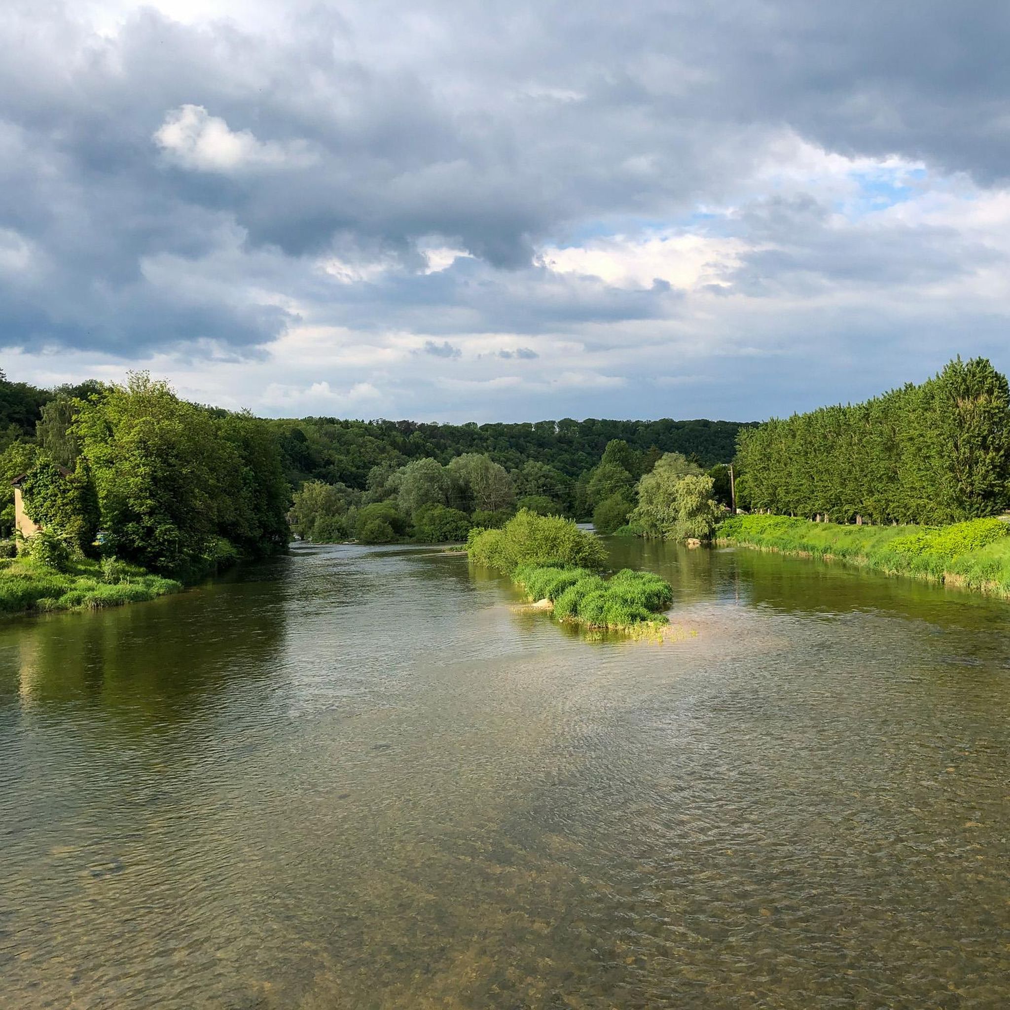
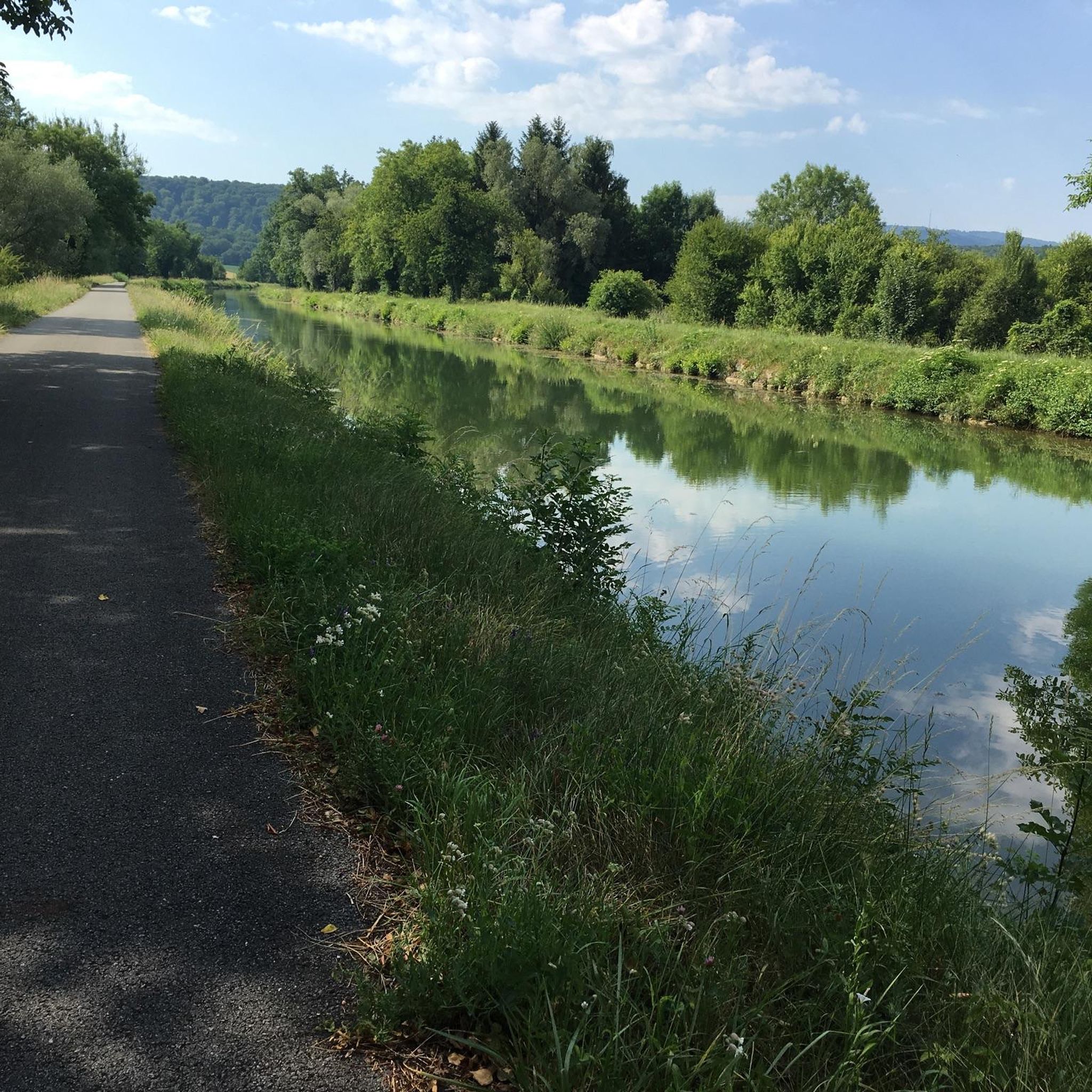
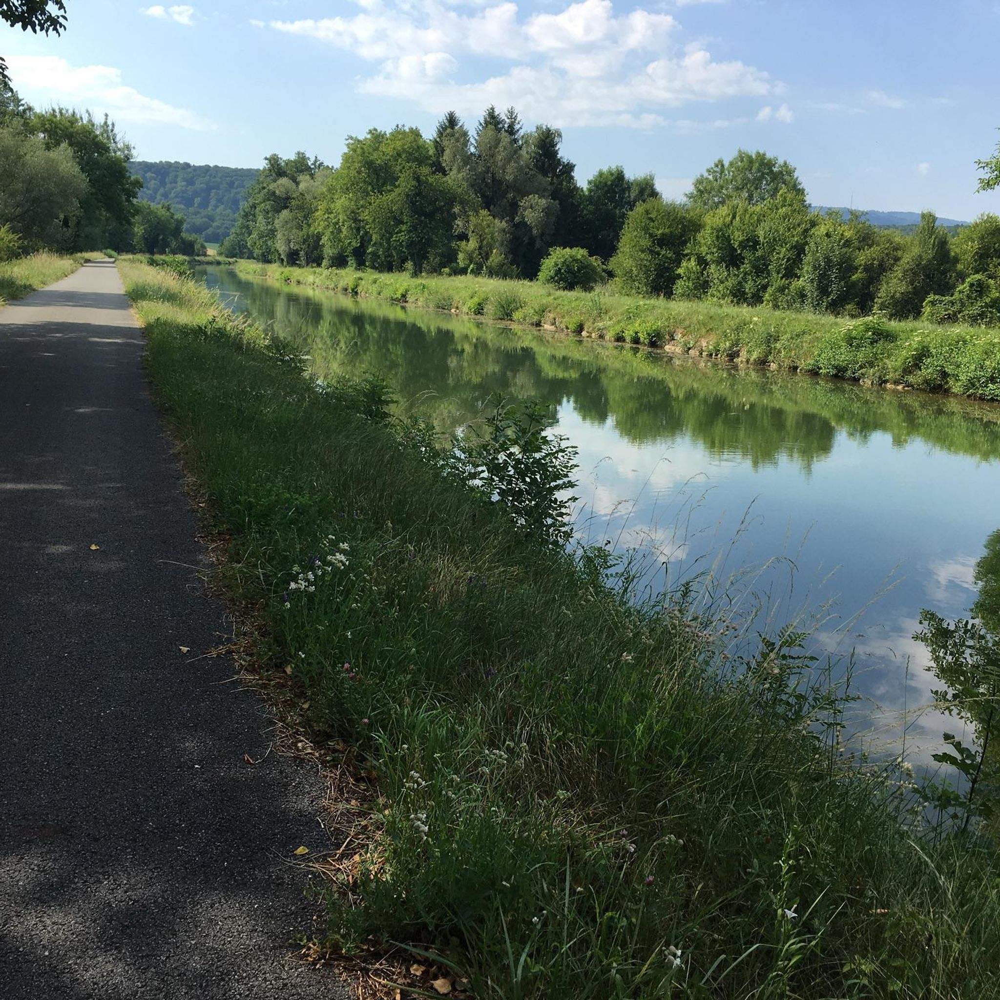
Gravel biking around Beutal features a network of routes primarily following the Rhine-Rhone Canal and the Doubs river. The terrain includes established cycle paths and varied landscapes, with some routes incorporating significant elevation gains. This region offers gravel bike trails that traverse both flat canal-side sections and more challenging hilly areas. The routes often connect small towns and natural waterways, providing diverse riding experiences.
Best gravel bike trails around Beutal
- The most popular gravel bike trail is Rhine-Rhone Canal – Le Doubs loop from Lougres, a 28.0 miles (45.0 km) trail that takes about 3 hours 10 minutes to complete. This moderate route follows the scenic Rhine-Rhone Canal and the Doubs river.
- Another top favourite among local gravel bikers is Rhine-Rhone Canal – Bike path along the Doubs loop from Accolans, a difficult 89.8 miles (144.5 km) path. This extensive route offers significant elevation changes along the Doubs river.
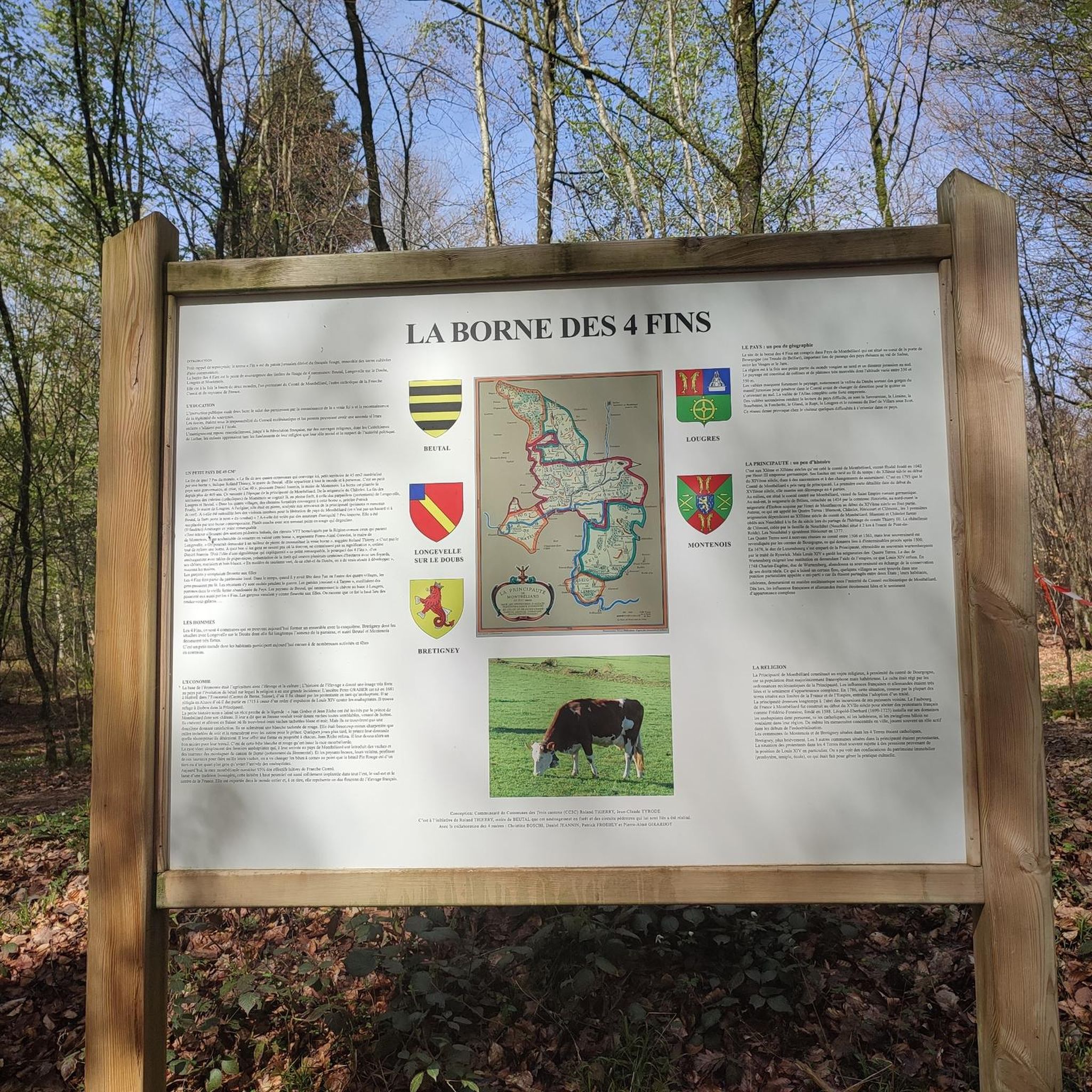
- Local gravel bikers also love the Four Ends Boundary Stone – Super directional cycle path! loop from Montenois, a 27.4 miles (44.0 km) trail leading through varied terrain, often completed in about 3 hours 32 minutes.
- Gravel biking around Beutal is defined by canal-side paths, river valleys, and established cycle routes. The network offers options for different ability levels, from moderate rides to more difficult challenges.
- The routes in Beutal are highly rated by the komoot community with an average score of 4.9 stars from over 6 reviews. More than 80 gravel bikers have used komoot to explore Beutal's varied terrain.
Last updated: June 26, 2026
2
riders
Hard gravel ride. Very good fitness required. Mostly paved surfaces. Suitable for all skill levels.
2
riders
56.8km
03:57
760m
760m
Hard gravel ride. Very good fitness required. You may need to push your bike for some segments of this route.

Sign up for free
3
riders
34.0km
02:04
420m
420m
Moderate gravel ride. Good fitness required. Mostly paved surfaces. Suitable for all skill levels.
2
riders
25.2km
01:42
370m
370m
Moderate gravel ride. Good fitness required. Mostly paved surfaces. Suitable for all skill levels.
2
riders
55.4km
03:31
720m
720m
Hard gravel ride. Very good fitness required. Mostly paved surfaces. Suitable for all skill levels.
Our route recommendations are based on thousands of hikes, rides, and runs completed by other people on komoot.
Start today with a free account
Your next adventure awaits.
Login or Signup

Tips from the Community

Trail in good condition, you can do plenty of activities (walk, ride, bike, etc.), I recommend it
0
0

nice tour along chanels and rivers.. for now from Mulhouse to Besançon... and further... until Nevers
0
0

Very beautiful cave to see at the bend in the main path near Villers sous Saulnot
0
0

A good place for a break in the shade of the trees. There are picnic benches.
0
0

We are riding on a brand new asphalted bike path. It's a pleasure, it's almost like flying!
1
0

Frequently Asked Questions
What kind of terrain can I expect on gravel bike trails around Beutal?
The gravel bike trails around Beutal primarily follow the Rhine-Rhone Canal and the Doubs river. You'll encounter established cycle paths and varied landscapes, including both flat canal-side sections and more challenging hilly areas. The routes often connect small towns and natural waterways, offering a diverse riding experience.
Are there any beginner-friendly gravel bike routes in the Beutal area?
While many routes in the Beutal area are rated moderate to difficult, the Rhine-Rhone Canal – Le Doubs loop from Lougres is a moderate option. It covers 28.0 miles (45.0 km) with about 324 meters of elevation gain, making it a good choice for those looking for a less strenuous ride along the scenic canal and river.
What are some of the more challenging gravel bike routes around Beutal?
For experienced gravel bikers seeking a challenge, the Rhine-Rhone Canal – Bike path along the Doubs loop from Accolans is a difficult 89.8 miles (144.5 km) route with significant elevation changes. Another difficult option is the Four Ends Boundary Stone – Super directional cycle path! loop from Montenois, which is 27.4 miles (44.0 km) with over 640 meters of ascent.
Are there any circular gravel bike routes available?
Yes, all the gravel bike routes listed for the Beutal area are loops. For example, you can enjoy the Étupes Lock on the EV6 – On the Canal du Rhone au Rhin 🚴 loop from Colombier-Fontaine, a moderate 31.1 miles (50.1 km) ride with minimal elevation gain, perfect for a round trip.
What do other gravel bikers say about the routes in Beutal?
The routes in Beutal are highly rated by the komoot community, with an average score of 4.9 stars from over 6 reviews. More than 80 gravel bikers have used komoot to explore the varied terrain, often praising the scenic canal-side paths and river valleys.
What can I see along the gravel bike trails around Beutal?
While riding, you might pass through or near interesting points. For example, you could explore the town of L'Isle-sur-le-Doubs, see the Courcelles-lès-Montbéliard drawbridge, or discover the Gonvillars Cave. The Fort du Mont Bart is another notable landmark in the vicinity.
Are there any routes that are particularly scenic?
Many routes in the Beutal area offer scenic views, especially those that follow the Rhine-Rhone Canal and the Doubs river. The Rhine-Rhone Canal – Le Doubs loop from Lougres is a great example, providing picturesque canal-side riding and river views.
Is there a route that offers a good mix of canal paths and varied terrain?
The Super directional cycle path! – Voujeaucourt Lock loop from Montenois is a difficult 23.0 miles (37.0 km) route that leads through varied terrain, including sections along the canal and some elevation changes, offering a dynamic riding experience.
What is the longest gravel bike route available in the Beutal area?
The longest gravel bike route documented in the area is the Rhine-Rhone Canal – Bike path along the Doubs loop from Accolans. This challenging route spans 89.8 miles (144.5 km) and features significant elevation changes along the Doubs river.
Are there any specific points of interest or natural features to look out for?
Beyond the canal and river, you might encounter natural features like Le Rupt (Princes' Pond). The routes are designed to showcase the natural waterways and diverse landscapes of the region.
Most popular attractions around Beutal

Get inspired with the komoot mobile app


Explore more
Browse the best Gravel rides in other regions.
