The best walks and hikes around Kölln-Reisiek
4.6
(3701)
14,136
hikers
31
hikes
Hiking around Kölln-Reisiek offers diverse natural landscapes in the district of Pinneberg, Schleswig-Holstein. The municipality is situated between the Pinnau and Krückau rivers, featuring gentle hills and verdant forests. A significant natural feature is the Himmelmoor Nature Reserve, Schleswig-Holstein's largest raised bog, which includes a nearly four-kilometer-long nature trail. The terrain primarily consists of riverbanks, wooded areas, and moorland.
Best hiking trails in Kölln-Reisiek
- The most popular hiking route is Krückau Bridge – Krückau Trail Wooden Bridge loop from Kölln-Reisiek…
Last updated: July 5, 2026
4.8
(16)
68
hikers
Moderate hike. Good fitness required. Easily-accessible paths. Suitable for all skill levels.
4.7
(13)
73
hikers
5.20km
01:19
10m
10m
Easy hike. Great for any fitness level. Easily-accessible paths. Suitable for all skill levels.

Sign up for free
4.6
(14)
69
hikers
15.1km
03:51
40m
40m
Moderate hike. Good fitness required. Easily-accessible paths. Suitable for all skill levels.
4.4
(7)
54
hikers
4.22km
01:04
10m
10m
Easy hike. Great for any fitness level. Easily-accessible paths. Suitable for all skill levels.
5.0
(3)
31
hikers
11.6km
02:55
20m
20m
Moderate hike. Good fitness required. Easily-accessible paths. Suitable for all skill levels.
Get access to more routes and recommendations from other explorers.
Sign up for free
Already have an account?
Our route recommendations are based on thousands of hikes, rides, and runs completed by other people on komoot.
Start today with a free account
Your next adventure awaits.
Login or Signup
Tips from the Community

take a deep breath and move on.
0
0

I passed through here on August 30, 1925, on my tour "Steindammwiesen, Krückau Park, and Rantzauer Forst." I enjoyed my own tour. The sun is shining, and the temperature is rising from +15°C at the beginning.
0
0

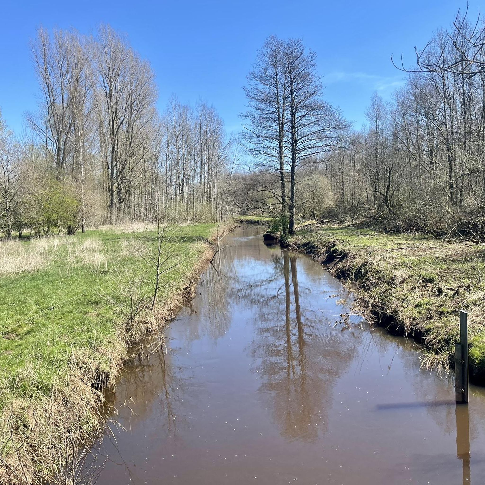
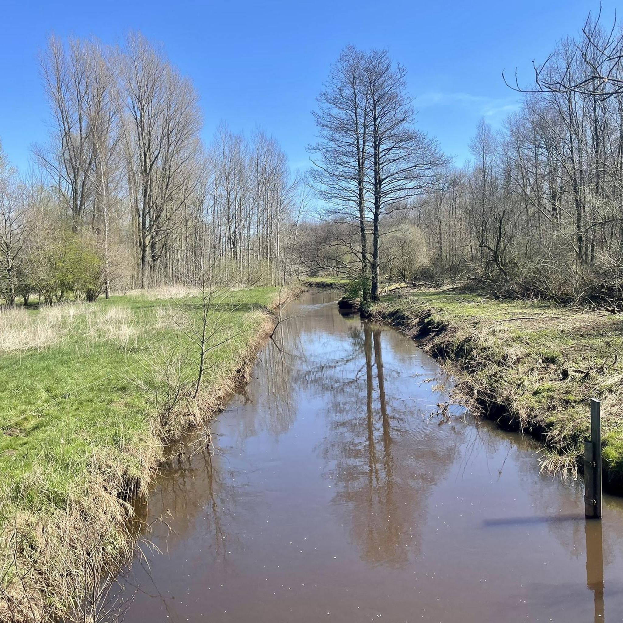
The bridge is open to pedestrians and cyclists.
0
0
To put it positively, it's a test of courage to continue riding despite the Krückau River occasionally flooding certain paths. Today, July 24, 2025, it went well.
0
0
This place is a place to get used to. The water level of the Krückau is not regulated there and this leads to flooding. ☹️🚲☹️
0
0

A bit harder in floods. But it's fun 😁
0
0

From its beginnings in the 12th century, to the first documented mention of the parish in 1362, Elmshorn grew over the centuries into a medium-sized urban center. It was also a rocky road to that point. During the Thirty Years' War (1618-1648), passing troops devastated Elmshorn several times - and the plague did the rest. According to tradition, the traditional Elmshorn dish "Gray Peas" dates back to this time, although there is no reliable evidence for this. In 1657, during the Second Northern War, Danish troops defended the Kruckschanze against Swedish attackers. A fortress that lay in the area of today's old sewage treatment plant between "Kruck" and "Vormstegen". But it was not only war and epidemics that were devastating, but also other disasters. In 1750, a large fire destroyed 47 houses and nine barns in the city area. (Source: https://www.elmshorn.de/Stadtporträt/Elmshorn-historisch/Der-Weg-in-die-Gegenwart/)
1
0
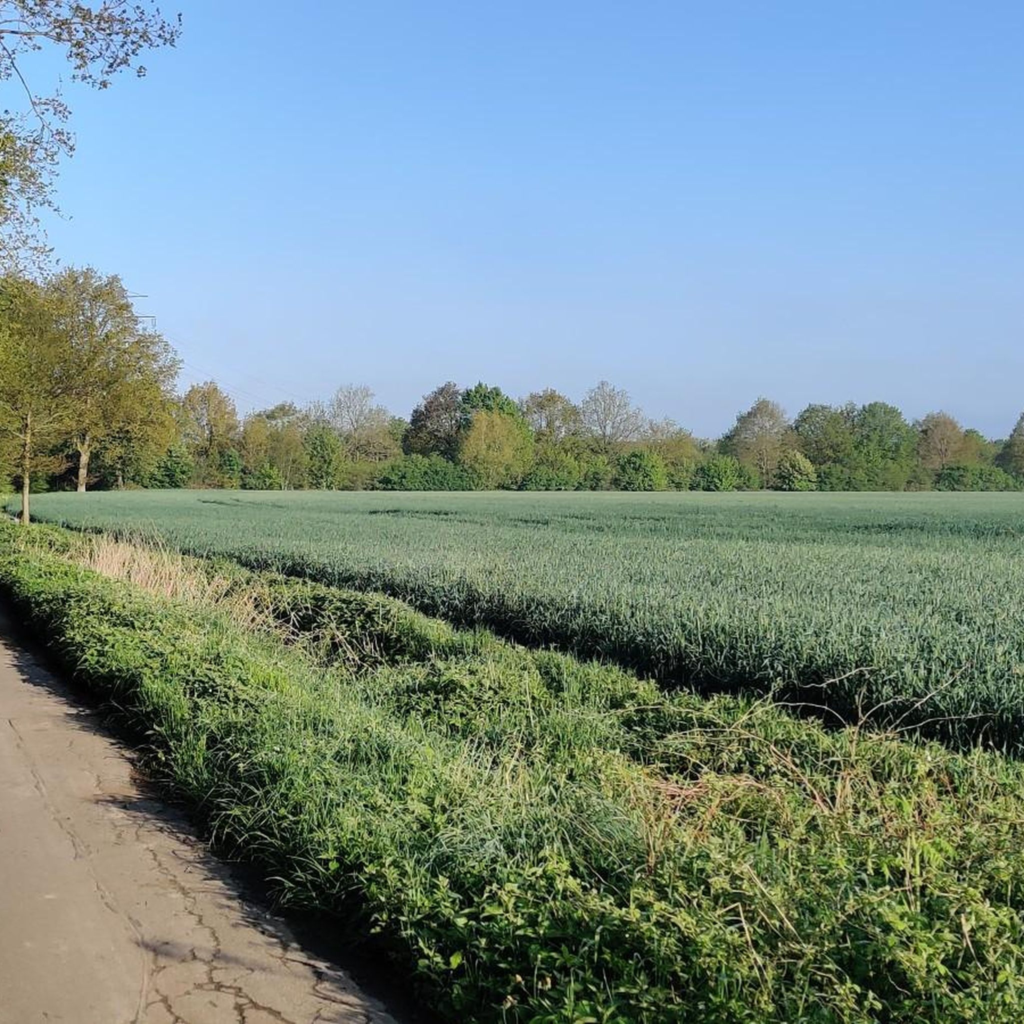
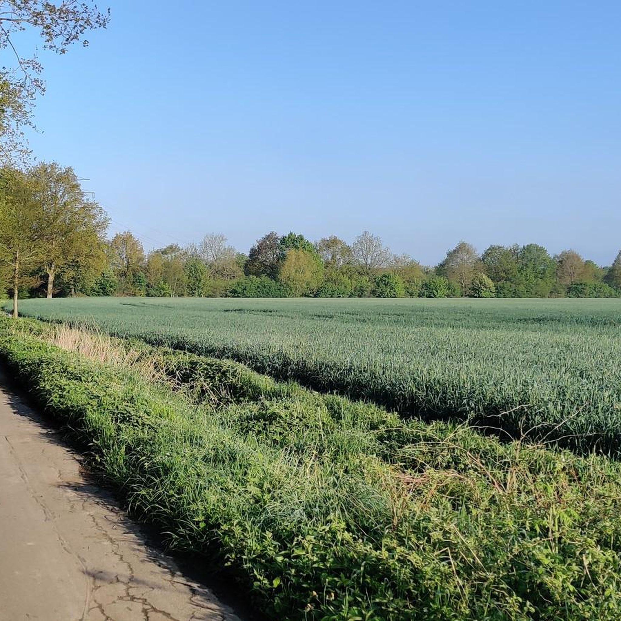
A very beautiful natural landscape with cattle.
1
0
Frequently Asked Questions
What kind of terrain can I expect on hiking trails in Kölln-Reisiek?
The hiking trails in Kölln-Reisiek offer a varied landscape. You'll find paths along the
Pinnau and Krückau rivers, through verdant forests, and within the unique moorland environment of the Himmelmoor Nature Reserve. The terrain generally consists of gentle hills and flat sections, making it accessible for various fitness levels.
Are there hiking trails suitable for all difficulty levels?
Yes, Kölln-Reisiek offers a range of hiking options. Out of 29 available routes, 21 are classified as easy, and 8 are moderate. This ensures that both casual walkers and more experienced hikers can find suitable trails. For an easy riverside stroll, consider the Krückau Bridge – Krückau Riverside Path loop from Kölln-Reisiek.
What natural features or landmarks can I see while hiking in Kölln-Reisiek?
A prominent natural feature is the Himmelmoor Nature Reserve, Schleswig-Holstein's largest raised bog, which includes a nearly four-kilometer-long nature trail with informative displays. You can also explore the picturesque riverbanks of the Pinnau and Krückau. Other points of interest include the Wulfsmühle and the Lake, and the Klevendeich Swing Bridge.
Are there family-friendly hiking routes in Kölln-Reisiek?
Many of the trails in Kölln-Reisiek are suitable for families, especially the easy routes along the rivers and through less challenging forested areas. The Krückau River loop from Kölln-Reisiek is an easy 4.2 km path that could be a good option for a family outing.
Can I bring my dog on the hiking trails in Kölln-Reisiek?
Generally, dogs are welcome on most hiking trails in Kölln-Reisiek, especially on paths through forests and along riverbanks. However, always keep your dog on a leash, especially in nature reserves like the Himmelmoor Nature Reserve, to protect local wildlife and plants.
What do other hikers enjoy most about the trails in Kölln-Reisiek?
The hiking routes in Kölln-Reisiek are highly rated by the komoot community, with an average score of 4.6 stars from over 3,500 reviews. Hikers often praise the diverse landscapes, from tranquil river paths to the unique moorland environment, and the well-maintained trails that cater to various abilities.
Are there any circular hiking routes available?
Yes, many of the hiking routes in Kölln-Reisiek are designed as loops, offering convenient starting and ending points. Examples include the Krückau Bridge – Krückau Trail Wooden Bridge loop from Kölln-Reisiek and the Rantzau Watermill – Krückau fish ladder loop from Kölln-Reisiek.
When is the best time of year to go hiking in Kölln-Reisiek?
The region is enjoyable for hiking throughout the warmer months, from spring to autumn, when the natural landscapes are in full bloom and the weather is generally mild. Spring offers fresh greenery, while autumn provides beautiful foliage along the riverbanks and in forested areas. Even in winter, some trails can be pleasant, though conditions might be muddy or icy.
Are there places to eat or stay near the hiking routes in Kölln-Reisiek?
While hiking, you might find options for refreshments. The Wulfsmühle and the Lake is mentioned as an idyllic hotel/restaurant that serves as a resting point for outdoor enthusiasts, suggesting it could be integrated into longer excursions.
How many hiking trails are available in the Kölln-Reisiek area?
There are 29 hiking trails available around Kölln-Reisiek, offering a wide variety of distances and difficulty levels to explore the region's diverse natural landscapes.
What is the longest moderate hike in Kölln-Reisiek?
The longest moderate hike is the Rantzau Watermill – Krückau fish ladder loop from Kölln-Reisiek, which covers 14.9 km and typically takes about 3 hours and 46 minutes to complete.
Are there any trails that offer views of the Krückau Waterway?
Yes, the Krückau Trail Wooden Bridge – View of the Krückau Waterway loop from Kölln-Reisiek is an easy 7.2 km route that specifically highlights views of the Krückau Waterway.
Most popular routes around Kölln-Reisiek
Most popular attractions around Kölln-Reisiek

Get inspired with the komoot mobile app


Explore more
Browse the best Hikes in other regions.
