The 4 Most Amazing Peaks around Niederzier
Best mountain peaks around Niederzier are characterized by a predominantly flat to gently rolling landscape, part of the Jülicher Börde. The highest natural elevations in the municipal area reach approximately 129 meters above sea level. While traditional mountain peaks are not present, the region features unique elevated points. These include the artificial hill Sophienhöhe and other landmarks that provide elevated views over the agricultural landscape.
Best mountain peaks around Niederzier
- The most popular mountain peaks is Roman Tower at Sophienhöhe…
Last updated: June 30, 2026
Roman Tower at Sophienhöhe
Highlight • Monument
Translated by Google •
Tip by

Hülsenberg Chapel
Highlight • Religious Site
Translated by Google •
Tip by

Sign up now to discover places like this
Get recommendations on the best single tracks, peaks, & plenty of other exciting outdoor places.
Sign up for free
Memorial Cross for Fallen Soldiers
Highlight • Monument
Translated by Google •
Tip by

Start today with a free account
Your next adventure awaits.
Login or Signup
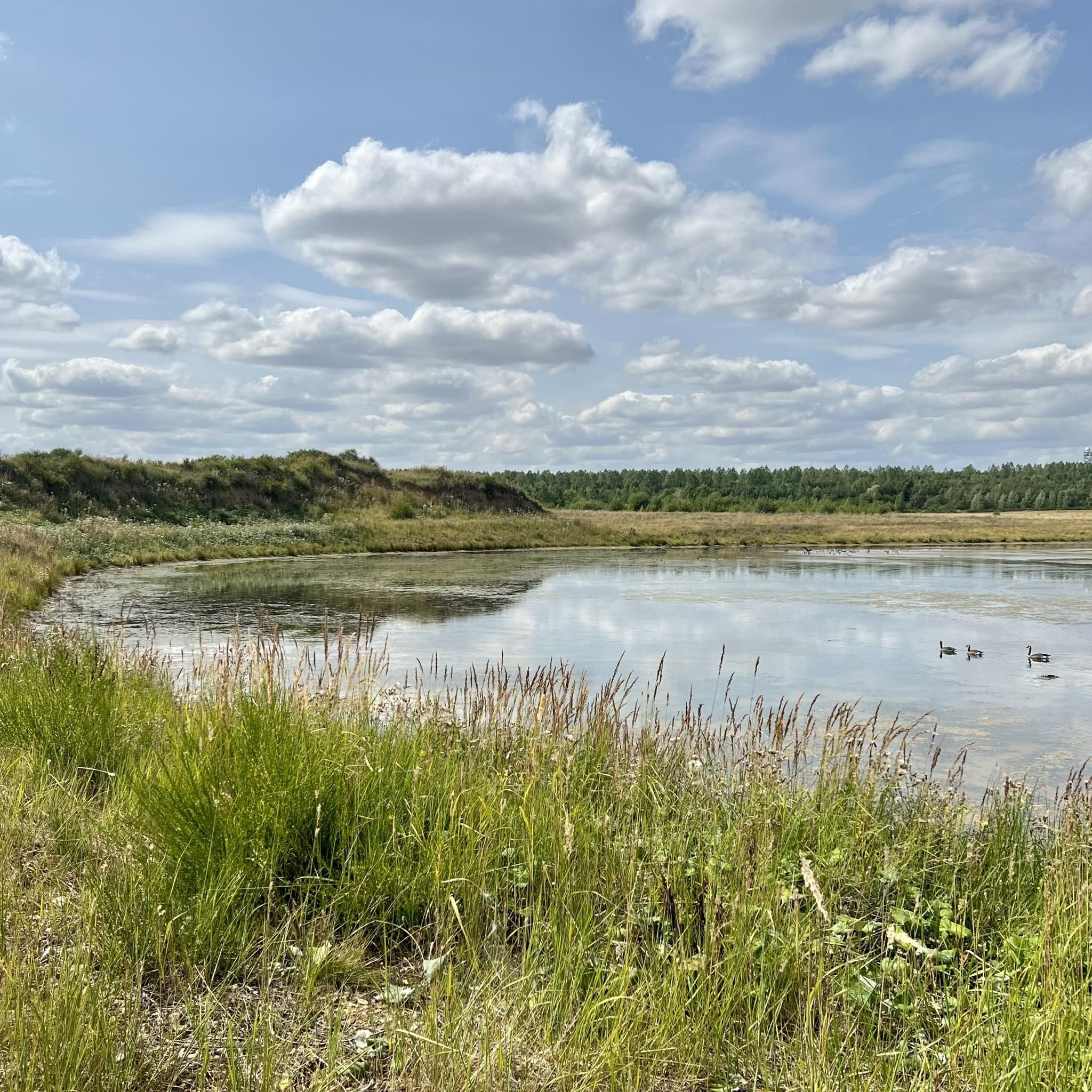
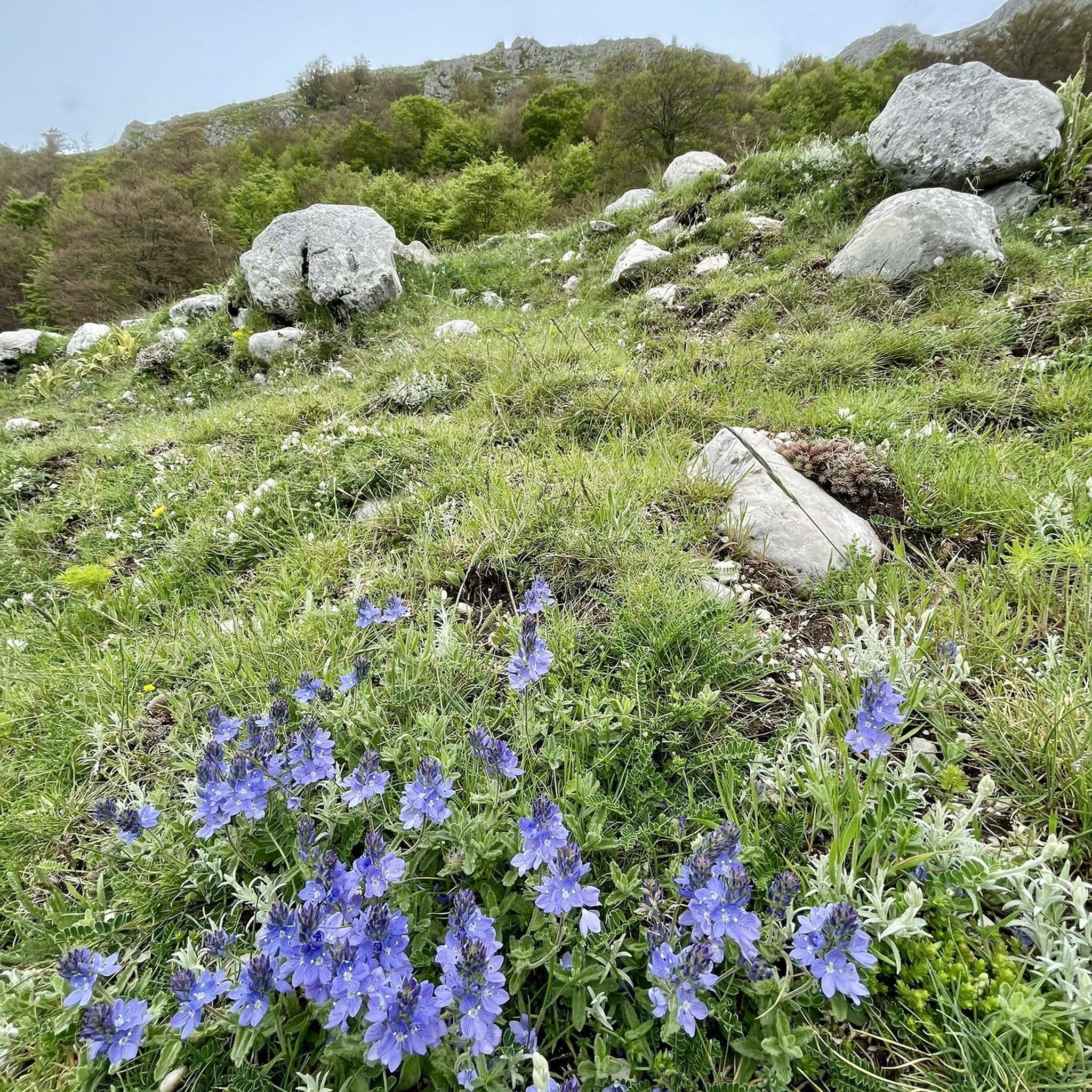
Tips from the Community

In memory of two Germans who fell here in World War II.
1
0

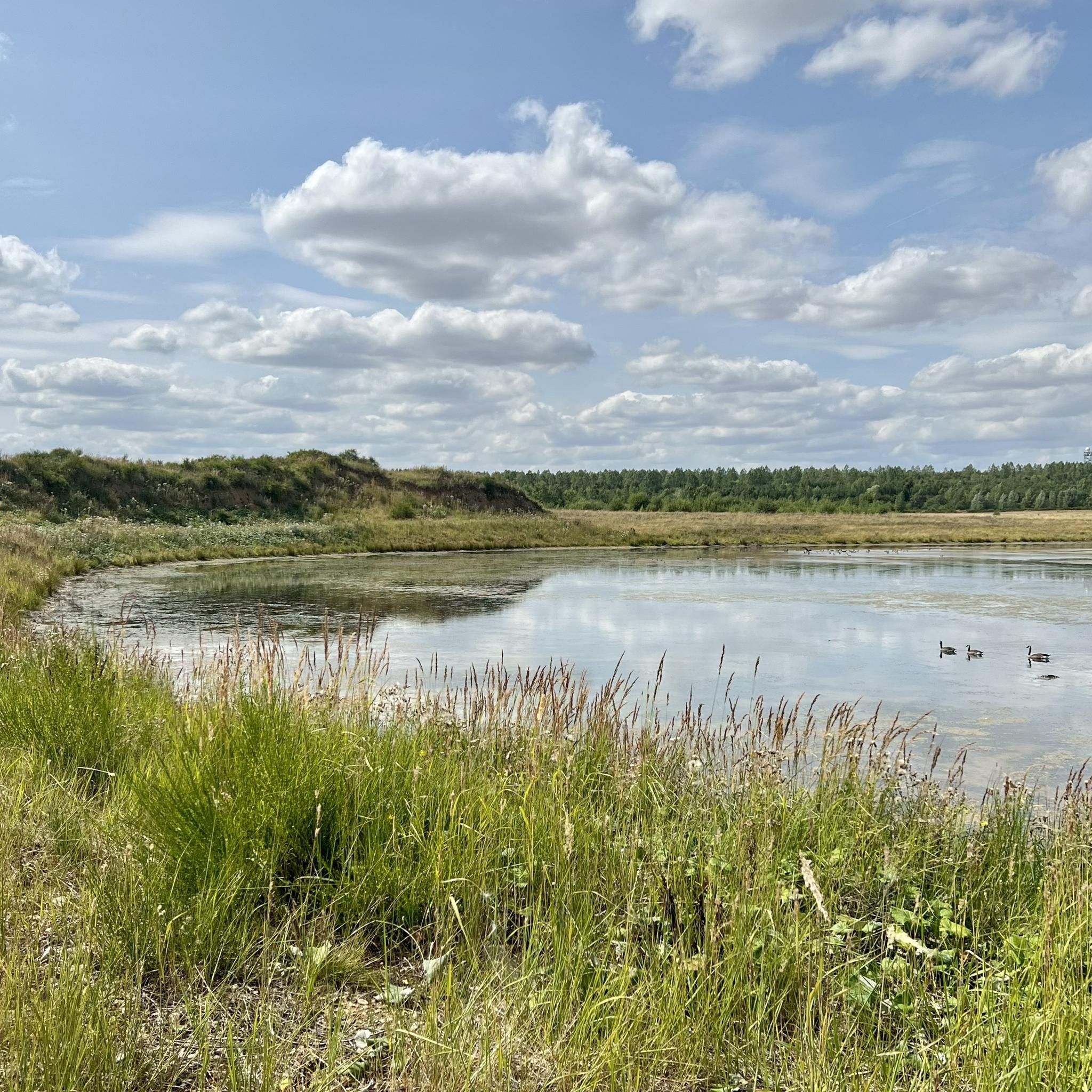
Small chapel in the immediate vicinity of the Kammerbusch landscape garden in Langerwehe.
0
0


<< Hülsenberg Chapel >> "This is where the parish goes from the parish church after the Good Friday liturgy. This procession, called the 'Roman journey' in earlier years, is a pious remnant of the earlier Good Friday prayer of the prostrations. (Author: Heinz Wamig) The Hülsenberg Chapel stands on an old Roman road. It dates from the 17th century and is built from quarry stone. In November 1944 it was almost completely destroyed by war. It was rebuilt in 1950 - 1952 in a major reconstruction project and consecrated on Good Friday 1952. The old, superior-sized crucifixion group from the 15th/16th century is now in the Old Church on Rymelsberg. The crucifixion group was replaced by a basalt-lava sculpture by the artist Titus Reinartz in 1990. " (Source: www.dueren.city-map.de) https://gdg-inden-langerwehe.de/pfarreien/st-martin-langerwehe/wir-ueber-uns/kirchen-kapellen/kapellen-bildstoecke-wegekreuze/
0
0


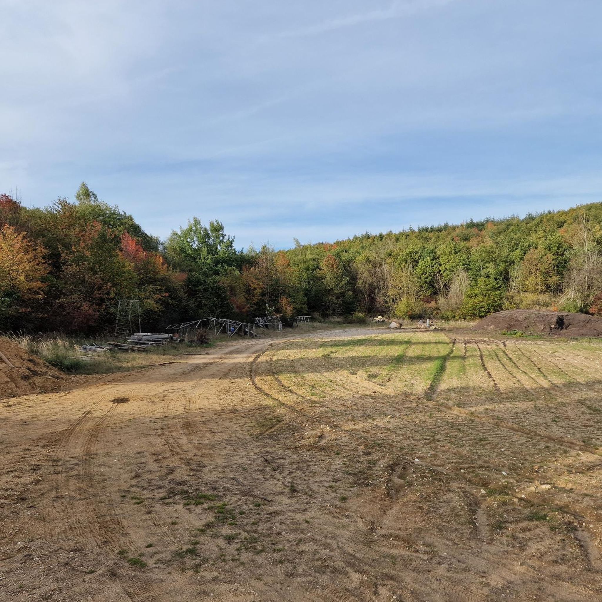
When you have reached this cross, you have reached the summit, so to speak
2
0
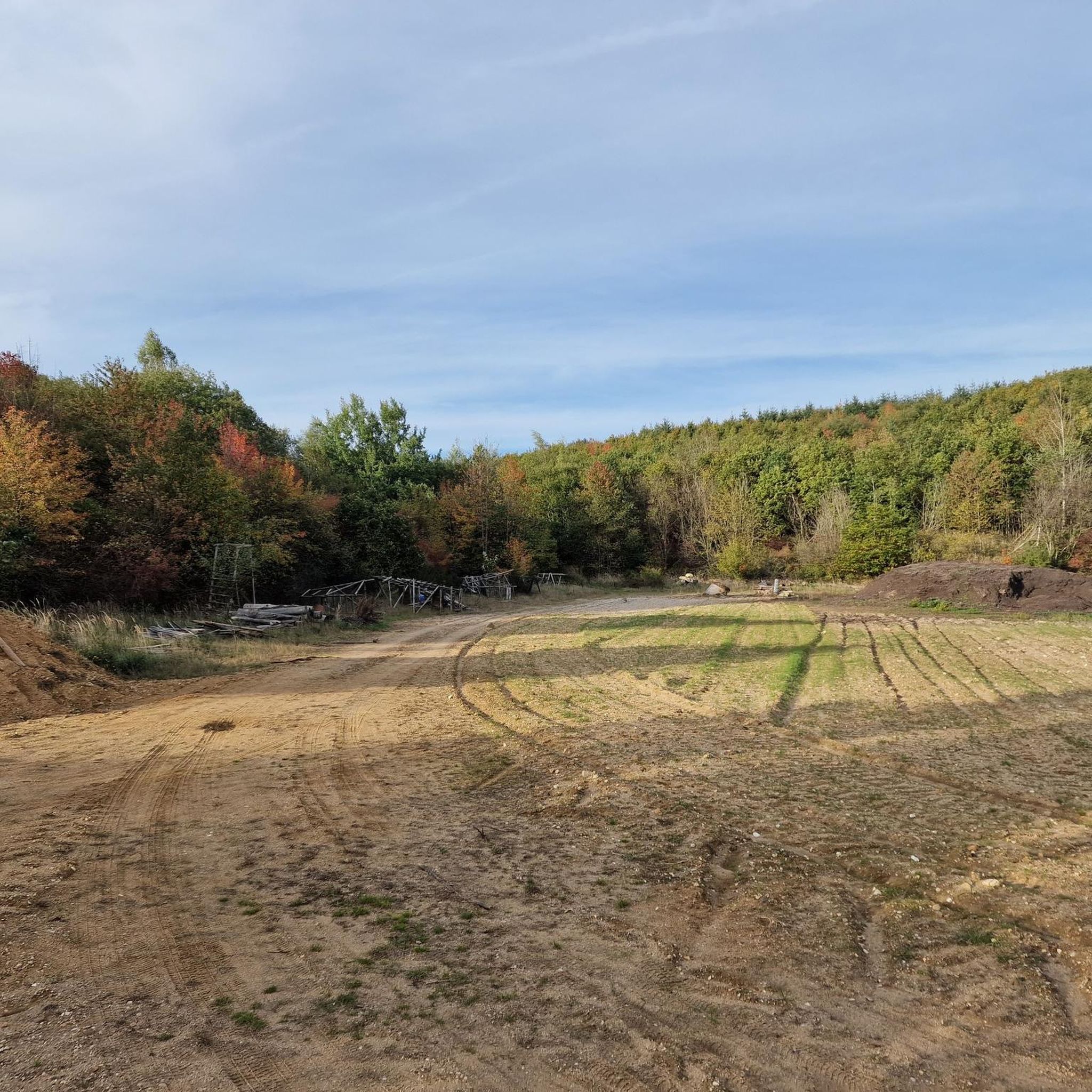
On the way to Laufenburg there is a cross in memory of two fallen German soldiers.
3
0

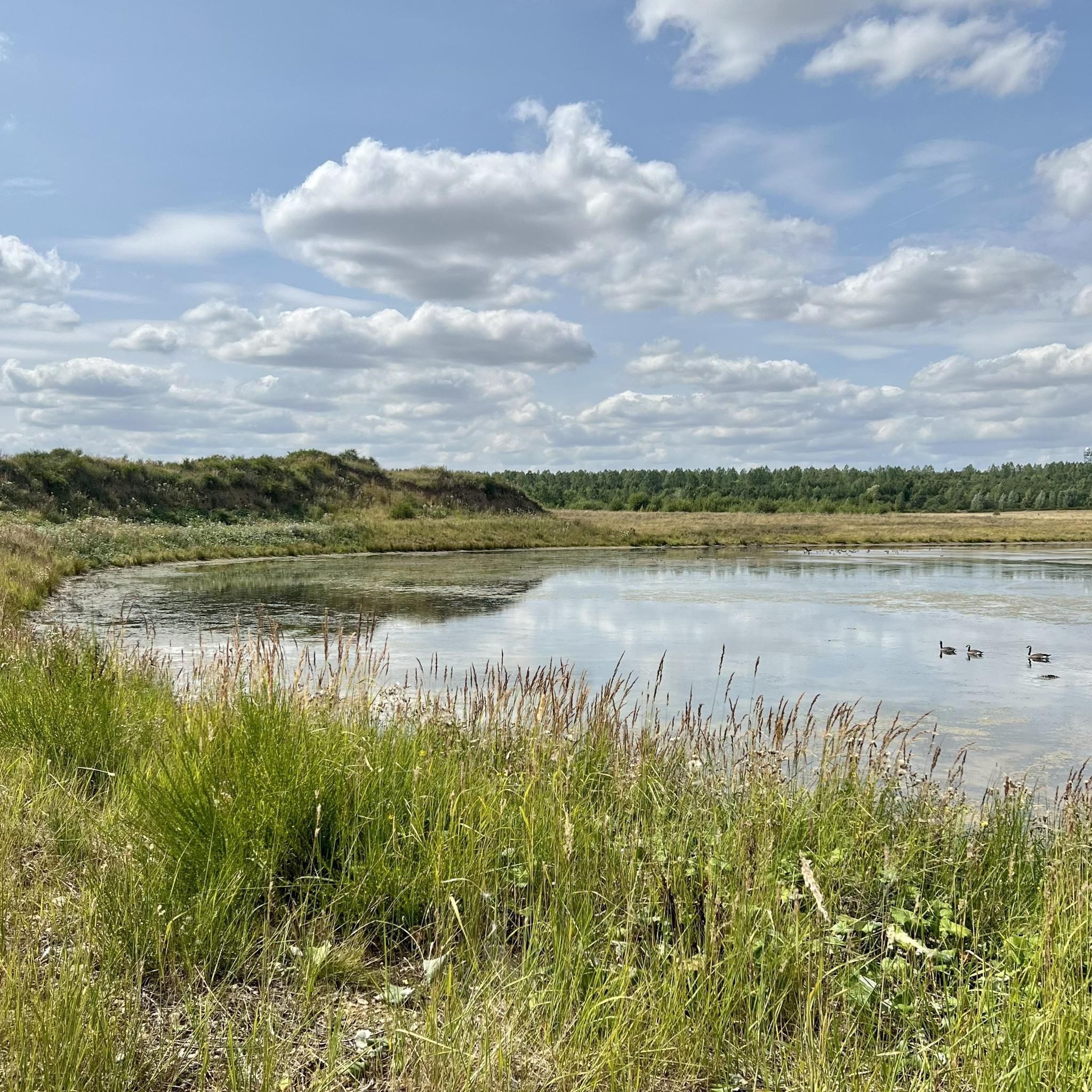
The Roman tower on the Sophienhöhe is a replica of a watchtower that the Romans used to monitor the site in the 1st to 4th centuries.
13
0
Frequently Asked Questions
What are the most notable elevated points to visit around Niederzier?
While Niederzier is characterized by a generally flat landscape, you can explore unique elevated points. These include the artificial hill Sophienhöhe, which offers expansive views, and the 203-meter-high Hülsenberg, where you'll find the historic Hülsenberg Chapel.
Are there any historical landmarks on the elevated points near Niederzier?
Yes, several elevated points feature historical landmarks. The Roman Tower at Sophienhöhe is a replica of an ancient watchtower, offering a glimpse into the region's past. Additionally, the Hülsenberg Chapel, an 18th-century chapel rebuilt after World War II, stands on Hülsenberg. You can also find the Memorial Cross for Fallen Soldiers, marking a summit point on the way to Laufenburg.
What kind of views can I expect from the elevated points in Niederzier?
From elevated points like the Roman Tower at Sophienhöhe, you can expect excellent panoramic views over the surrounding agricultural landscape and the impressive scale of the nearby Hambach open-pit mine. These spots provide a unique perspective on the region's distinctive topography.
Are there family-friendly elevated spots or walks near Niederzier?
Yes, the Hülsenberg Chapel is considered family-friendly, offering a nice leisurely tour suitable for children. The area around Sophienhöhe also provides accessible paths for walks with the family, allowing you to enjoy the views without strenuous climbs.
What outdoor activities can I do near these elevated points?
The region around Niederzier offers various outdoor activities. You can find numerous routes for hiking, gravel biking, and road cycling. For hiking, explore trails like the 'Wild horses at Sophienhöhe' loop. Cyclists can enjoy routes such as the 'Terra Nova Viewpoint' for gravel biking or the 'Terra Nova Viewpoint – View of Sophienhöhe' for road cycling. You can find more details in the Hiking around Niederzier, Gravel biking around Niederzier, and Road Cycling Routes around Niederzier guides.
Are there hiking trails that lead to these elevated points?
Yes, there are hiking trails that incorporate these elevated points. For instance, the 'Wild horses at Sophienhöhe – Roman Tower at Sophienhöhe' loop from Wanderparkplatz Alt-Lich is a moderate 14.5 km hike that takes you to the Roman Tower at Sophienhöhe. You can discover more hiking options in the Hiking around Niederzier guide.
What is the highest natural elevation in the Niederzier area?
The highest natural elevations within the Niederzier municipal area reach approximately 129 meters (423 feet) above sea level, specifically located east of the village of Ellen. The overall landscape is predominantly flat to gently rolling.
What is the Sophienhöhe and how was it formed?
The Sophienhöhe is an artificial hill located north and east of Niederzier. It was formed from the overburden (excavated material) of the nearby Hambach open-pit mine. This man-made elevation provides significant viewpoints over the surrounding flat landscape and the mine itself.
What do visitors enjoy most about the elevated points around Niederzier?
Visitors particularly enjoy the panoramic views offered by these elevated points, especially from the Roman Tower at Sophienhöhe. The unique combination of historical landmarks, such as the Hülsenberg Chapel, and the distinctive landscape shaped by both nature and industry, makes for an interesting exploration.
Can I find any natural features or parks near the elevated areas?
While the immediate elevated points are often man-made or feature historical structures, the broader Niederzier region is influenced by the Rur Valley and the Ellbach stream, which create minor topographical variations. Local recreation areas like the Ellbachpark offer natural spaces for relaxation and walks.
Are there any challenging hikes or advanced routes around Niederzier's elevated points?
Given the predominantly flat to gently rolling landscape, most routes around Niederzier are not considered highly challenging in terms of elevation gain. However, some longer gravel biking or road cycling routes, such as the 'Weir on the Rur Near Kreuzau' gravel bike route (124 km) or the 'Dürener Gate Nideggen' road cycling route (149 km), offer significant distances and can be considered more demanding. For hiking, routes are generally moderate.
What is the best time to visit the elevated points in Niederzier?
The elevated points around Niederzier can be visited year-round. Spring and autumn offer pleasant temperatures for outdoor activities and clear views. Summer is also suitable, though it can be warmer. In good visibility, the panoramas from spots like the Roman Tower at Sophienhöhe are particularly rewarding.
Most popular routes around Niederzier
Most popular attractions around Niederzier

Get inspired with the komoot mobile app


Explore more
See even more amazing summits around Niederzier with these guides:
