The best road cycling routes around Kollnburg
4.4
(119)
1,939
riders
208
rides
Road cycling routes around Kollnburg are situated within the Bavarian Forest, offering diverse terrain for cyclists. The region features well-maintained asphalt roads, ranging from rolling hills to challenging steep climbs. The landscape is characterized by lush greenery, tranquil streams, and panoramic mountain vistas, with notable peaks such as Pröller (1,048 m) and Hirschenstein (1,092 m). Kollnburg itself is located on a ridge, providing varied elevation profiles for road cycling.
Best road cycling routes around Kollnburg
- The most popular road cycling…
Last updated: July 7, 2026
3.0
(1)
65
riders
106km
05:54
2,310m
2,310m
Hard road ride. Very good fitness required. Mostly well-paved surfaces and easy to ride.
4.4
(5)
48
riders
43.7km
02:23
720m
720m
Moderate road ride. Good fitness required. Some segments of this route may be unpaved and difficult to ride.

Sign up for free
5.0
(5)
40
riders
41.5km
02:05
630m
630m
Moderate road ride. Good fitness required. Mostly well-paved surfaces and easy to ride.
5.0
(2)
29
riders
52.1km
03:03
1,210m
1,210m
Hard road ride. Very good fitness required. Mostly well-paved surfaces and easy to ride.
4.3
(3)
40
riders
66.6km
03:35
760m
760m
Moderate road ride. Good fitness required. Some segments of this route may be unpaved and difficult to ride.
Get access to more routes and recommendations from other explorers.
Sign up for free
Already have an account?
Our route recommendations are based on thousands of hikes, rides, and runs completed by other people on komoot.
Start today with a free account
Your next adventure awaits.
Login or Signup


Tips from the Community

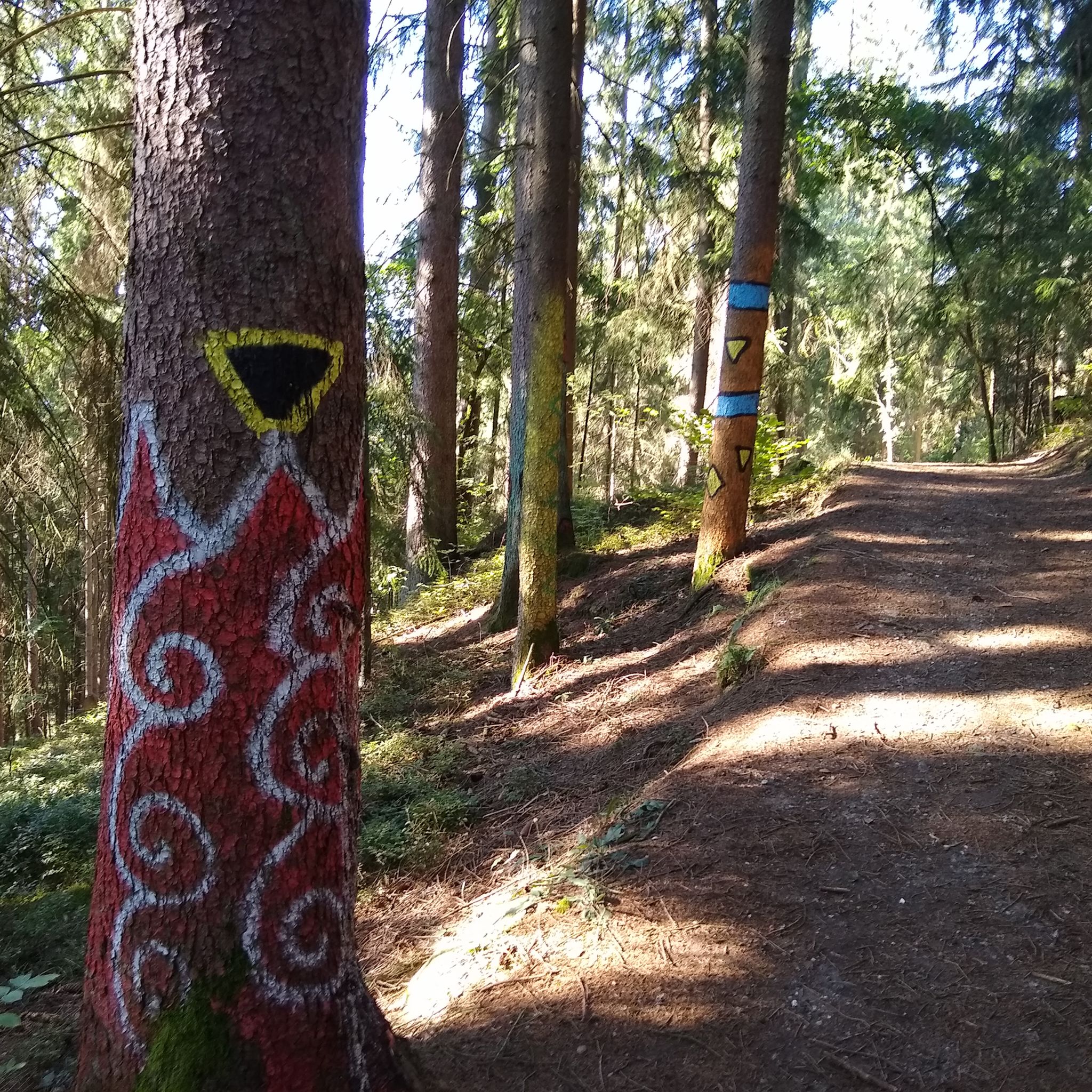
beautiful, almost car-free market square. The fountain has something in it. Those who don't know might get wet
0
0


Schlager – but with whipped cream, please! Quirky little café with a terrace.
0
0

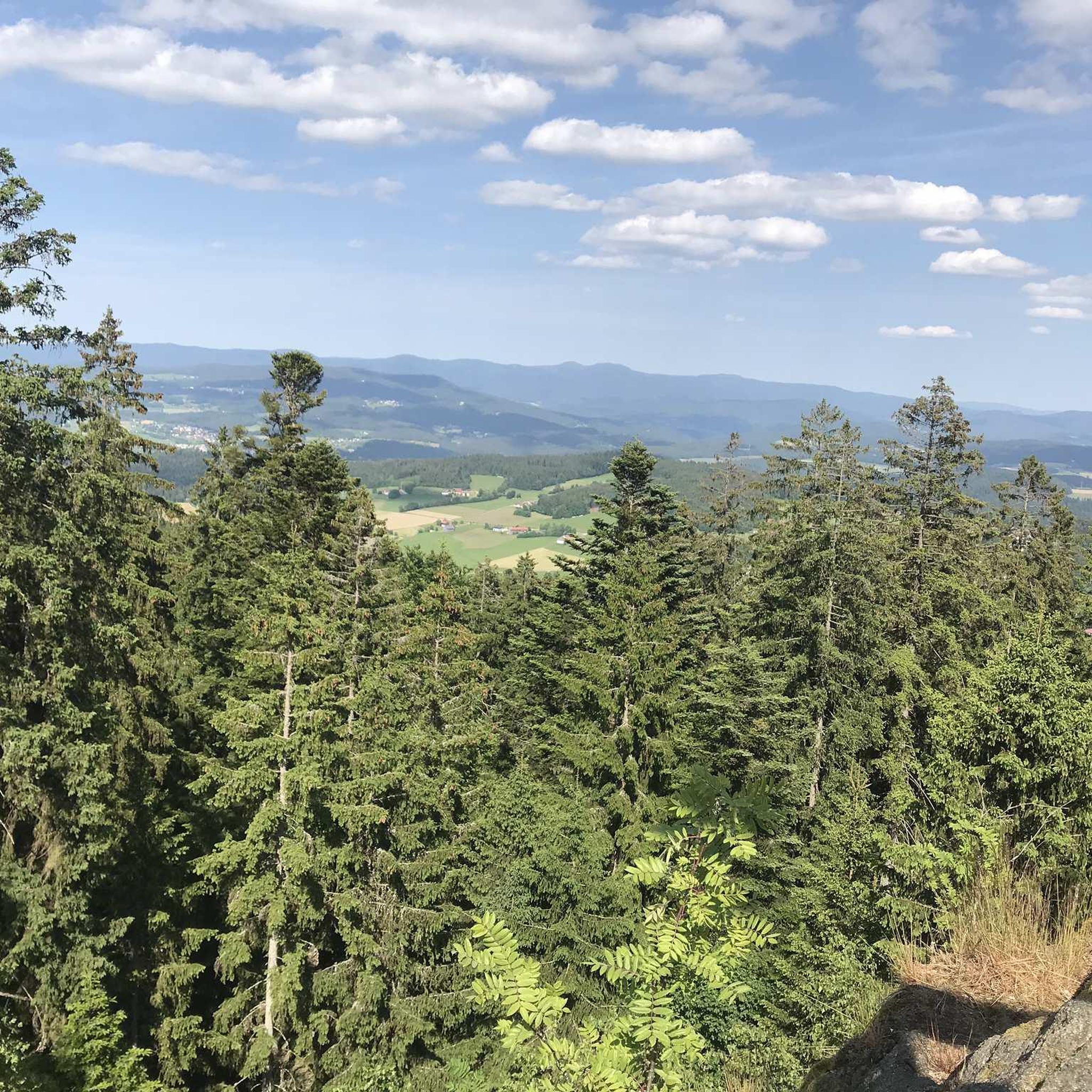
At 1120 meters altitude and really beautiful
5
0

Ascent to the third refreshment point of the Arber Cycle Marathon
0
0

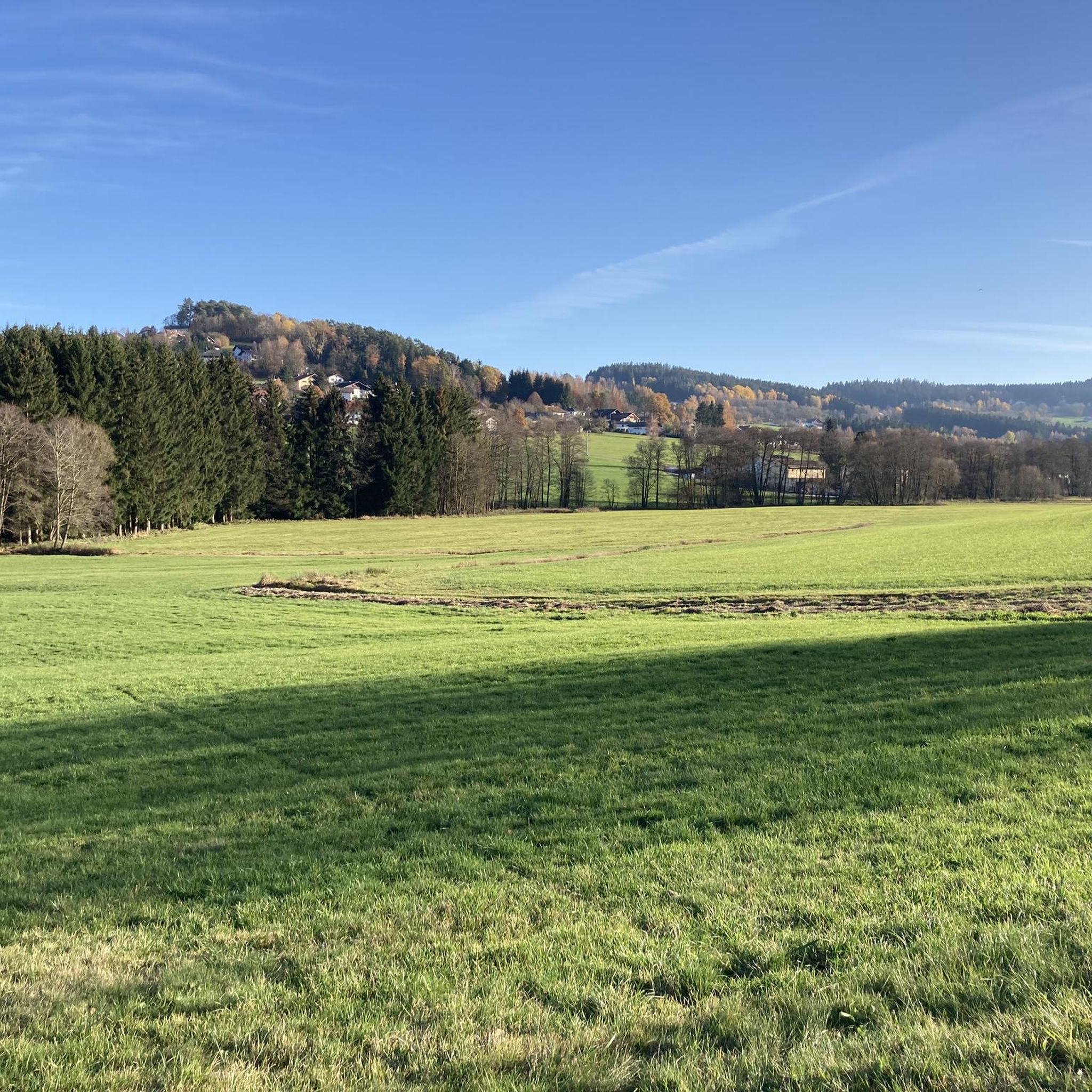
Nice and quiet . .
0
0
Frequently Asked Questions
How many road cycling routes are available around Kollnburg?
There are over 200 road cycling routes around Kollnburg, offering a wide range of options for cyclists. The region is known for its diverse terrain within the Bavarian Forest.
What kind of terrain can I expect on road cycling routes in Kollnburg?
Kollnburg's road cycling routes feature diverse terrain, from gentle rolling hills to challenging steep climbs. The area is characterized by well-maintained asphalt roads, lush greenery, tranquil streams, and panoramic mountain vistas, making for varied and engaging rides.
Are there any easy road cycling routes for beginners in Kollnburg?
While many routes in Kollnburg offer moderate to difficult challenges, there is at least one easy route available. The region's diverse network ensures options for various ability levels, though the majority are moderate or difficult.
Which routes offer significant elevation gain for a challenging ride?
For a challenging ride with substantial elevation gain, consider the Ascent to the Scheiben – Great Arber Lake loop from Sankt Englmar. This difficult route covers 105.6 km with over 2,300 meters of ascent through the Bavarian Forest. Another demanding option is the Maibrunner Höhe (902 m) – View of Schuhchristleger loop from Viechtach, which includes over 1,200 meters of elevation gain.
Are there scenic road cycling routes with viewpoints or landmarks?
Yes, many routes offer scenic views and pass by notable landmarks. The region is home to prominent peaks like Pröller (1,048 m) and Hirschenstein (1,092 m), which offer breathtaking vistas. You can explore highlights such as the Pröller summit cross or the Hirschenstein viewpoint. The View of Tresdorf – Lake Höllenstein loop from Schnitzmühle provides scenic views of Lake Höllenstein and the surrounding natural landscape.
What do other road cyclists enjoy most about cycling in Kollnburg?
The road cycling routes around Kollnburg are highly rated by the komoot community, with an average score of 4.4 stars from over 100 reviews. Cyclists often praise the diverse terrain, well-maintained roads, and the beautiful natural scenery of the Bavarian Forest.
Are there any circular road cycling routes in Kollnburg?
Yes, many of the routes around Kollnburg are designed as loops, allowing you to start and end at the same point. Examples include the Ascent to the Scheiben – Great Arber Lake loop from Sankt Englmar and the Schwarzer Regen – Ruhmannsfelden, church square loop from Viechtach.
What is the best time of year for road cycling in Kollnburg?
The Bavarian Forest region, including Kollnburg, is generally best for road cycling during the warmer months, typically from late spring through early autumn. During this period, you can expect more favorable weather conditions and fully accessible routes.
Are there any long-distance road cycling routes near Kollnburg?
Yes, Kollnburg offers options for longer rides. The Ascent to the Scheiben – Great Arber Lake loop from Sankt Englmar is a significant route spanning over 105 km, providing a substantial long-distance cycling experience.
What attractions can I explore near the road cycling routes?
Beyond the cycling itself, Kollnburg offers several attractions. You can visit the historic Kollnburg Castle Tower and Castle Well, or the Bauerndenkmal (Farmer's Monument) on the Baierweg. For nature lovers, the Käsplatte Summit and Predigtstuhl Summit are also nearby.
Is there parking available for road cyclists in Kollnburg?
While specific parking locations for each route are not detailed, Kollnburg is a destination well-equipped for outdoor enthusiasts. It is generally advisable to look for public parking areas in the main town or at trailheads, which are often available for visitors.
Most popular routes around Kollnburg
Most popular attractions around Kollnburg

Get inspired with the komoot mobile app


Explore more
Browse the best Road cycling routes in other regions.
