The best gravel rides around Saint-Bômer-Les-Forges
4.7
(22)
81
riders
7
rides
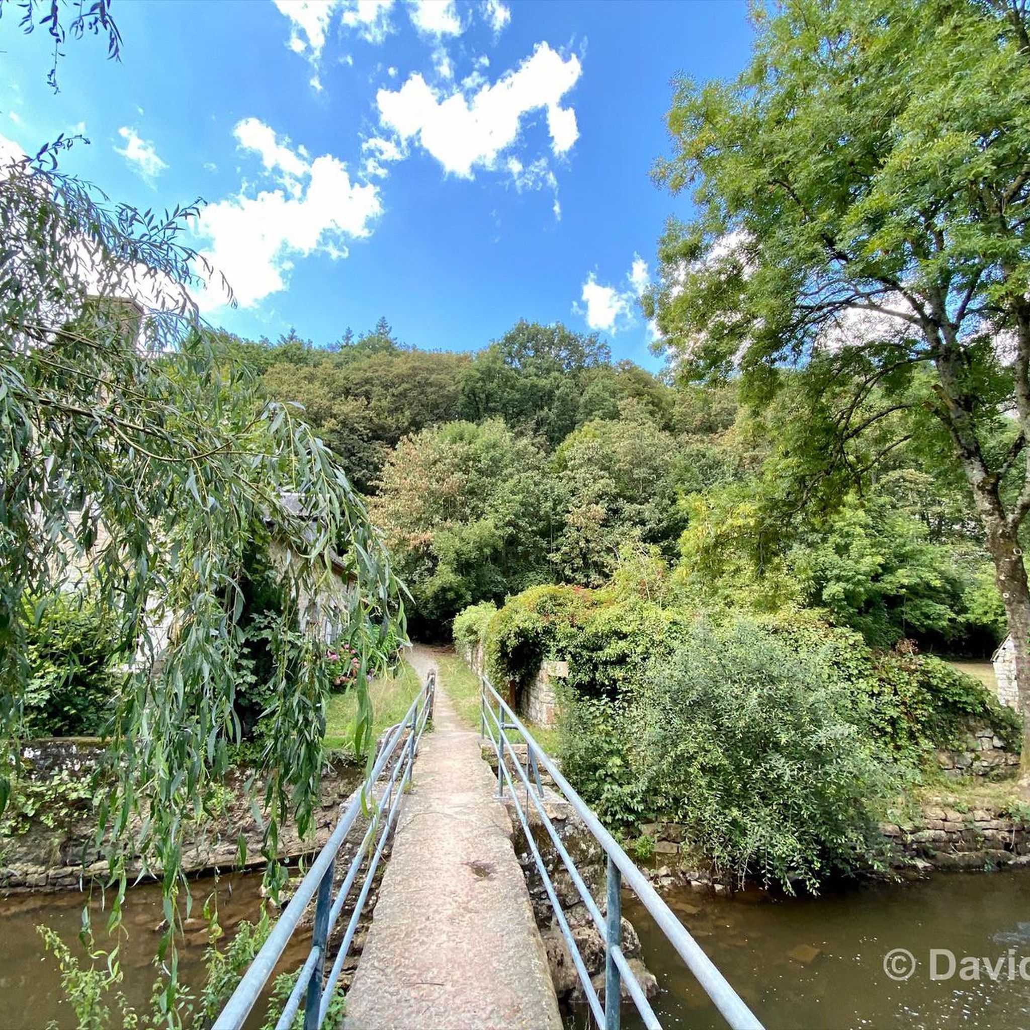
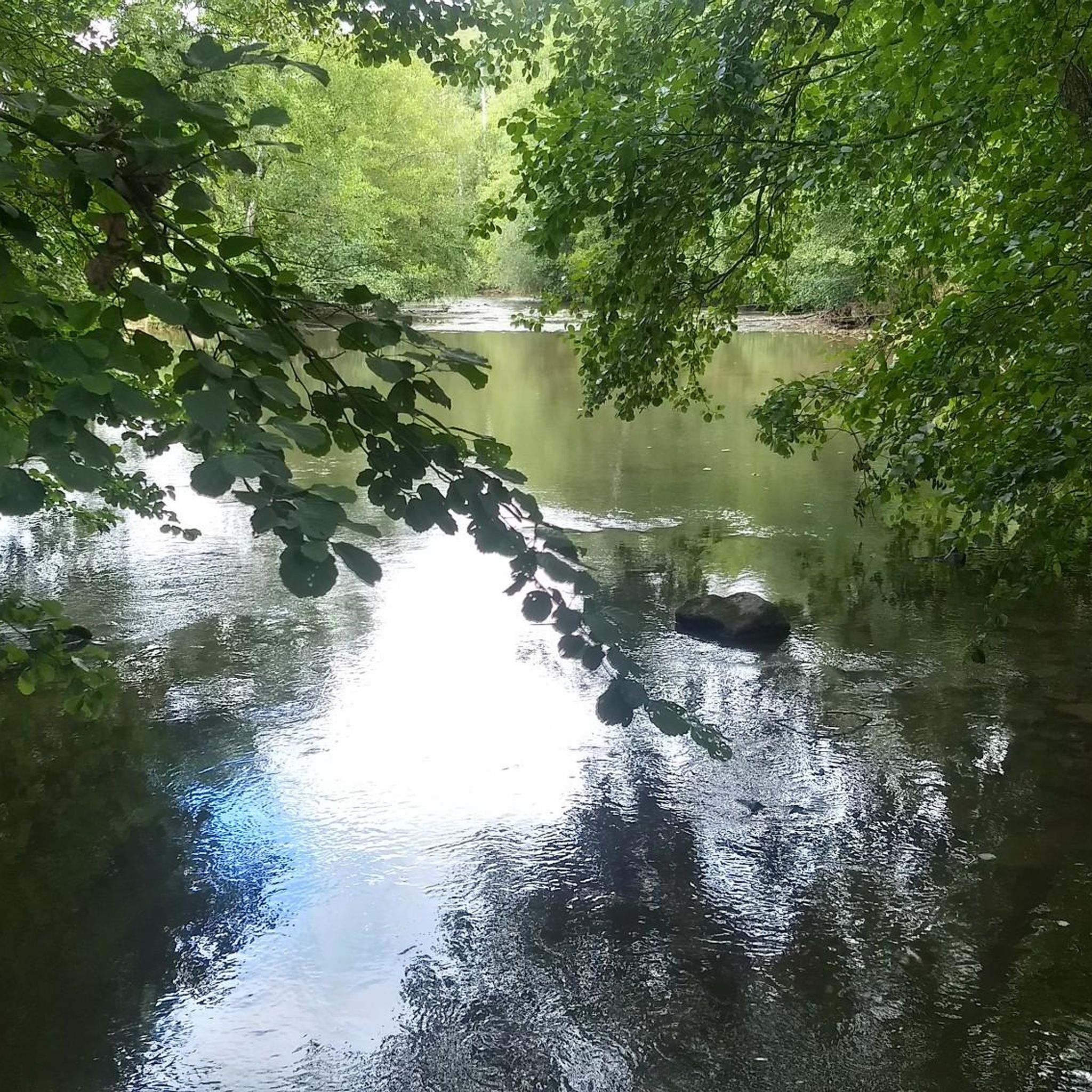
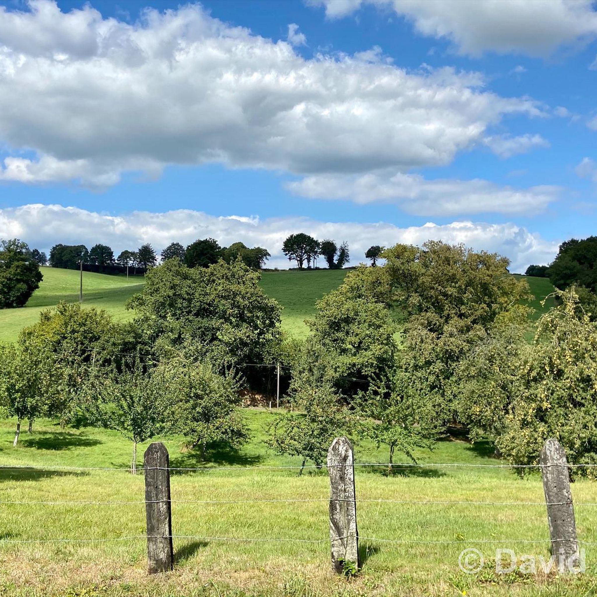
Gravel biking around Saint-Bômer-les-Forges offers varied terrain through its "bocager" landscape, characterized by hedged farmlands and a network of "chemins creux" (sunken lanes). The region features undulating topography with altitudes ranging from 137m to 271m, providing both gentle and challenging sections. The area is also drained by the Varenne and Halouze rivers, contributing to a verdant environment for off-road cycling.
Best gravel bike trails around Saint-Bômer-Les-Forges
- The most popular gravel bike trail is Les Forges de Varenne – Weir of…
Last updated: May 16, 2026
4.1
(8)
13
riders
Moderate gravel ride. Good fitness required. Mostly paved surfaces. Suitable for all skill levels.
6
riders
Moderate gravel ride. Good fitness required. Mostly paved surfaces. Suitable for all skill levels.

Sign up for free
5.0
(1)
4
riders
30.1km
02:02
410m
410m
Moderate gravel ride. Good fitness required. Mostly paved surfaces. Suitable for all skill levels.
10
riders
104km
06:06
910m
910m
Hard gravel ride. Very good fitness required. Mostly paved surfaces. Suitable for all skill levels.
5.0
(1)
8
riders
87.4km
04:42
690m
690m
Hard gravel ride. Very good fitness required. Mostly paved surfaces. Suitable for all skill levels.
Get access to more routes and recommendations from other explorers.
Sign up for free
Already have an account?
Our route recommendations are based on thousands of hikes, rides, and runs completed by other people on komoot.
Start today with a free account
Your next adventure awaits.
Login or Signup
Tips from the Community

Magnificent, a must-see.
0
0

St Julien church (in the background) was built in the Byzantine style and has a number of amazing mosaics, you can also visit the top of the tower by arrangement with the tourist office.
0
0

Located to the west of the Orne, the medieval town of Domfront, perched on its promontory, is one of the “Most Beautiful Detours in France” and the “Small Towns of Character”.
0
0


It's beautiful and well-maintained. The driveway to the west rear gate reminds me of the book "The Great Maulne."
0
0

This is the route from Flers station to the old Domfront station and not the title of the photo on which we actually see the Flers fare.
0
0

magical
0
0
It's worth it. A steep climb that will take your breath away. Get your guns on.
0
0
Frequently Asked Questions
How many gravel bike trails are available around Saint-Bômer-Les-Forges?
There are 7 gravel bike routes available around Saint-Bômer-Les-Forges. These routes offer a mix of moderate and difficult options, catering to various skill levels.
What kind of terrain can I expect on gravel bike trails in Saint-Bômer-Les-Forges?
You can expect a diverse terrain characterized by the region's 'bocager' landscape, featuring hedged farmlands and a network of 'chemins creux' (sunken lanes). The routes often traverse undulating topography with altitudes ranging from 137m to 271m, providing both gentle sections and engaging climbs and descents. You'll also find paths alongside the Varenne and Halouze rivers, contributing to a verdant environment.
Are there options for different skill levels on the gravel trails?
Yes, the routes around Saint-Bômer-Les-Forges offer options for different skill levels. You'll find 3 moderate routes and 4 difficult routes, ensuring there's a suitable challenge whether you're looking for a steady ride or a more demanding adventure with significant elevation changes.
What historical sites or landmarks can I see while gravel biking near Saint-Bômer-Les-Forges?
Many gravel routes in the area offer access to historical sites. For instance, the difficult route La Carneille – Domfront Castle loop from Messei passes by the historic Domfront Castle. The nearby medieval town of Domfront itself is a major highlight, just 6 km away, with its rich history and half-timbered houses. You can also explore the Domfront Medieval Village – Domfront — Medieval Town loop from Domfront to immerse yourself in the local heritage.
Are there any scenic viewpoints along the gravel routes?
Yes, the region offers several scenic spots. The area around Domfront features the Tertre Sainte-Anne, which provides panoramic views of the countryside and the medieval town. Many routes through the 'bocager' landscape also offer picturesque vistas of hedged farmlands and river valleys.
What is the typical duration of gravel bike routes in this region?
The duration of gravel bike routes in the Saint-Bômer-Les-Forges area varies. For example, the popular Les Forges de Varenne – Weir of Les Forges de Varenne loop from Champsecret typically takes around 2 hours 55 minutes. Longer, more difficult routes like the Domfront Castle – Bagnoles-de-l'Orne loop from Domfront en Poiraie can take over 7 hours to complete.
Are the gravel trails in Saint-Bômer-Les-Forges suitable for families?
While the guide primarily lists moderate to difficult routes, the region's network of 'chemins creux' and greenways like the Véloscénie Greenway (which passes nearby) can offer sections suitable for families. It's recommended to check individual route details for distance and elevation to ensure they match your family's capabilities. The Sainte-Geneviève Chapel – Bonvouloir Tower loop from La Ferrière-aux-Étangs is a moderate option that explores the local countryside.
What do other gravel bikers say about the trails in Saint-Bômer-Les-Forges?
The gravel biking routes around Saint-Bômer-Les-Forges are highly rated by the komoot community, with an average score of 4.7 stars from over 20 reviews. More than 80 gravel bikers have used komoot to explore the varied terrain, often praising the scenic 'bocager' landscape and the engaging mix of paths.
What is the best time of year for gravel biking in Saint-Bômer-Les-Forges?
The region's 'bocager' landscape and river valleys are particularly beautiful during spring and autumn, offering pleasant temperatures and vibrant scenery. Summer can also be enjoyable, though some paths might be more exposed to the sun. Winter rides are possible, but conditions on the 'chemins creux' might be muddy or wet, so checking local weather and trail conditions is advisable.
Are there any circular gravel bike routes in the area?
Yes, many of the gravel bike routes in the Saint-Bômer-Les-Forges area are designed as loops. Examples include the Les Forges de Varenne – Weir of Les Forges de Varenne loop from Champsecret and the La Carneille – Domfront Castle loop from Messei, allowing you to start and end your ride in the same location.
Is there parking available for gravel bikers in Saint-Bômer-Les-Forges?
As Saint-Bômer-Les-Forges is a rural commune, parking is generally available in the village center or near trailheads. For specific routes, it's often possible to find parking in the starting villages mentioned in the route descriptions, such as Champsecret or Messei. Always check local signage for any restrictions.
Most popular routes around Saint-Bômer-Les-Forges
Most popular attractions around Saint-Bômer-Les-Forges

Get inspired with the komoot mobile app


Explore more
Browse the best Gravel rides in other regions.
