The best gravel rides around Valay
8
riders
1
ride
Gravel biking around Valay, located in the Haute-Saône department of France, offers routes through a landscape characterized by river valleys and agricultural areas. The region features a mix of paved and unpaved paths, often following waterways like the Ognon and Saône. Elevation changes are generally moderate, with some routes including gradual climbs and descents through wooded sections and open countryside. The terrain is suitable for exploring the rural character of the Burgundy-Franche-Comté region.
Best gravel bike trails around Valay
- The…
Last updated: June 27, 2026
3
riders
40.0km
03:08
560m
560m
Hard gravel ride. Very good fitness required. Mostly paved surfaces. Suitable for all skill levels.
2
riders
35.4km
02:39
470m
470m
Hard gravel ride. Very good fitness required. Mostly paved surfaces. Suitable for all skill levels.

Sign up for free
2
riders
17.7km
01:08
100m
100m
Easy gravel ride. Great for any fitness level. Mostly paved surfaces. Suitable for all skill levels.
1
riders
12.3km
00:46
70m
70m
Easy gravel ride. Great for any fitness level. Mostly paved surfaces. Suitable for all skill levels.
Our route recommendations are based on thousands of hikes, rides, and runs completed by other people on komoot.
Start today with a free account
Your next adventure awaits.
Login or Signup


Other adventures around Valay

Tips from the Community

La Résie-Saint-Martin Wash House Fountain Small building constructed between 1860 and 1863 according to the plans of Christophe Colard, an architect from Gray
0
0

Good footwear is recommended!
0
0

Marnay Castle, built from the 11th century onwards, was remodeled several times up until the 18th century. Formerly the residence of the lords of Marnay, it still has a medieval tower, Renaissance façades and a large wooded park.
0
0
This path runs through the fields, ideal for a change of scenery.
0
0
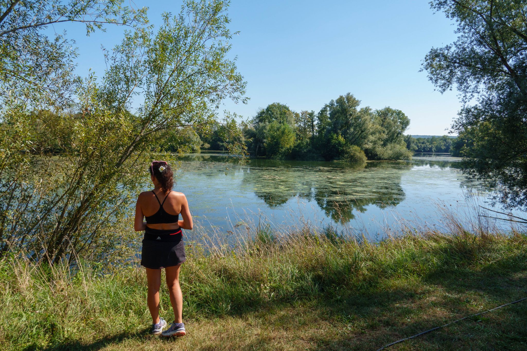
Le Paquey is a former floodplain meadow located on the outskirts of Marnay, on the banks of the Ognon River. This natural area is home to remarkable biodiversity, including wetlands, ancient hedgerows, and pastures. Designed for walking, it offers a glimpse of the valley's typical agricultural and river landscapes.
0
0

A charming town in Franche-Comté, part of the Holy Roman Empire until the Treaty of 1678. Very prosperous in the Middle Ages, thanks to its trade and artisans. A cloth market was established there as early as the 14th century, after Joan of Burgundy, Countess of Franche-Comté and Queen of King Philip V the Long of France, brought weavers from Paris. From June 14, 1354, until the Revolution, the bourgeoisie of Marnay had a charter of emancipation that guaranteed them security and prosperity: "Whoever has a house and keeps a fire in the town will be a bourgeois." This charter allowed the inhabitants to administer the town themselves and thus build ramparts and create the individual gardens that can still be seen today.
0
0
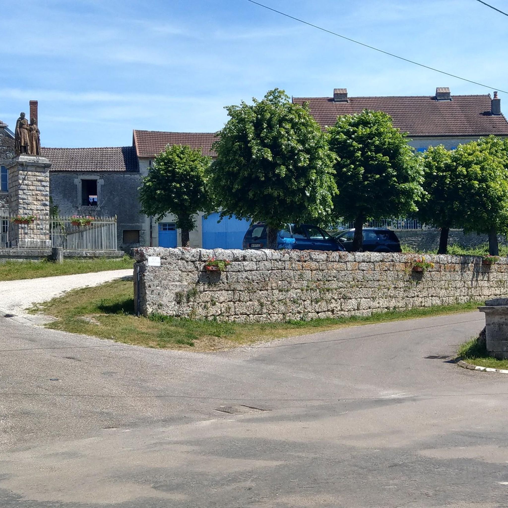
In La Résie-Saint-Martin, you can still see traditional houses, wash houses, and elements related to agricultural life. The village also preserves its pottery heritage.
0
0

rolling road bike
0
0
Frequently Asked Questions
What kind of terrain can I expect on gravel bike trails around Valay?
Gravel biking around Valay, located in the Haute-Saône department of France, offers routes through a landscape characterized by river valleys and agricultural areas. You'll find a mix of paved and unpaved paths, often following waterways like the Ognon and Saône. Elevation changes are generally moderate, with some routes including gradual climbs and descents through wooded sections and open countryside.
Are there gravel biking routes for different skill levels in Valay?
Yes, the routes around Valay offer options for different ability levels. For an easier ride, consider the Marnay Dam – Historic Center of Marnay loop from Marnay, which is an easy 11.0-mile (17.7 km) path. More challenging routes with greater elevation, such as the Shelter on the Way of St. James. – Marnay Dam loop from Charcenne, are also available.
What are some notable landmarks or attractions I can see near the gravel bike routes?
Several historical sites and points of interest are located near the gravel biking routes. You might encounter the Historic Center of Marnay, the Forges of Pesmes, or the Saint-Hilaire Gate. The Apremont Dam is another man-made feature in the vicinity.
Are there any circular gravel bike routes available?
Yes, many of the gravel biking routes around Valay are designed as loops. For example, the Bicycle – Sauvageonne Island loop from Malans is a 15.0-mile (24.1 km) trail that leads through varied terrain, offering a circular experience.
What is a good route for exploring the area around Marnay?
If you're looking to explore the area around Marnay, the Marnay Dam – Historic Center of Marnay loop from Marnay is an excellent choice. This easy 11.0-mile (17.7 km) path allows you to enjoy the scenery around the dam and visit the historic center of Marnay.
What is the best time of year for gravel biking in Valay?
While specific seasonal advice for Valay is limited, the region's character with river valleys and agricultural areas suggests that spring and autumn would likely offer pleasant temperatures and beautiful scenery. Summers can be warm, and winters might bring colder, potentially wet conditions, making spring and fall ideal for exploring.
Are there any routes that pass by the Marnay Dam?
Yes, several routes incorporate the Marnay Dam. A popular option is the Shelter on the Way of St. James. – Marnay Dam loop from Marnay, which is a 35.4 km (22.0 miles) route with significant elevation gain, offering views of the dam.
What is the general character of the landscape for gravel biking in the Haute-Saône department around Valay?
The landscape for gravel biking in the Haute-Saône department around Valay is defined by its rural character, featuring river valleys, extensive agricultural fields, and sections of woodland. You'll experience a mix of open countryside and shaded paths, often following natural water features.
Are there any routes suitable for a shorter gravel bike ride?
For a shorter ride, consider the Access to the Forges – Forges de Pesmes loop from Pesmes. This easy route covers about 7.6 miles (12.3 km) and takes approximately 1 hour to complete, making it ideal for a quicker outing.
What can I expect regarding elevation changes on Valay's gravel trails?
Elevation changes on Valay's gravel trails are generally moderate. While some routes, like the Shelter on the Way of St. James. – Marnay Dam loop from Charcenne, feature significant elevation gain (over 550 meters), many others offer more gradual climbs and descents, suitable for a range of fitness levels.
Most popular attractions around Valay

Get inspired with the komoot mobile app


Explore more
Browse the best Gravel rides in other regions.
