The best walks and hikes around Saint-Araille
4.8
(13)
77
hikers
5
hikes
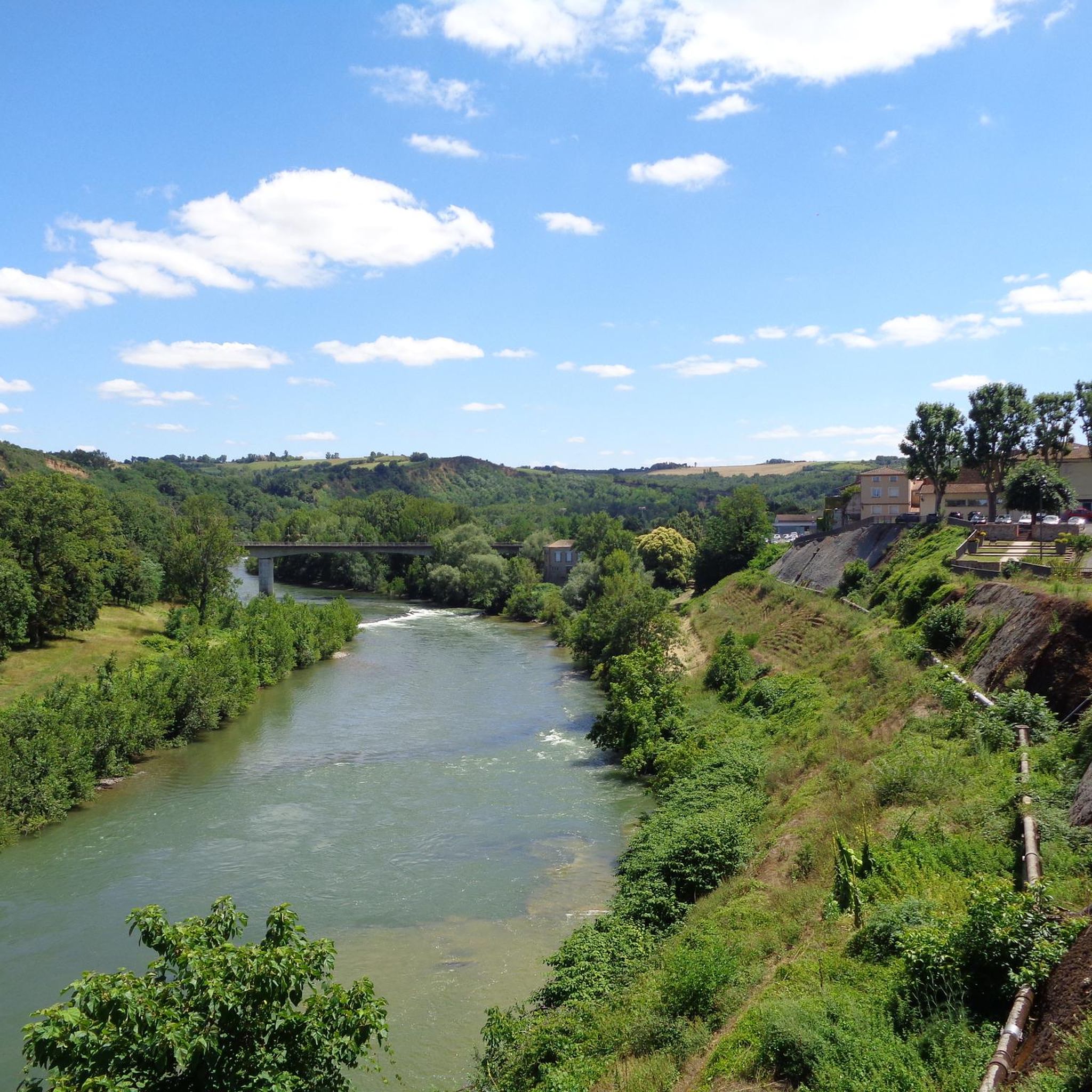
Hiking around Saint-Araille reveals a landscape characterized by rolling hills, diverse natural environments, and agricultural plains. The region, situated in the Gers department of Occitanie, features a remarkable natural heritage including a Natura 2000 site and ecological zones. Hikers can explore areas around Lac du Lizet, which is surrounded by forests, meadows, and the Lizet river. Elevations in Saint-Araille range from 136 meters to 236 meters, providing varied terrain suitable for different hiking experiences.
Best hiking trails around Saint-Araille
- The…
Last updated: June 26, 2026
4.3
(8)
54
hikers
12.6km
03:23
160m
160m
Moderate hike. Good fitness required. Easily-accessible paths. Suitable for all skill levels.
12
hikers
13.9km
03:46
180m
180m
Moderate hike. Good fitness required. Easily-accessible paths. Suitable for all skill levels.

Sign up for free
5.0
(4)
3
hikers
9.32km
02:35
160m
160m
Moderate hike. Good fitness required. Easily-accessible paths. Suitable for all skill levels.
1
hikers
7.71km
02:03
80m
80m
Moderate hike. Good fitness required. Easily-accessible paths. Suitable for all skill levels.
3
hikers
6.02km
01:39
90m
100m
Easy hike. Great for any fitness level. Easily-accessible paths. Suitable for all skill levels.
Our route recommendations are based on thousands of hikes, rides, and runs completed by other people on komoot.
Start today with a free account
Your next adventure awaits.
Login or Signup
Popular around Saint-Araille


Tips from the Community


Beautiful place to enjoy the coolness of the forest on a hot summer day.
0
0
Many opportunities to get to the lake in the shade of the surrounding forests.
0
0
Many opportunities to reach the lake of Saint André in the shade of the surrounding forests
0
0
Frequently Asked Questions
How many hiking trails are available around Saint-Araille?
There are 5 hiking trails documented around Saint-Araille. These routes cater to various skill levels, with 1 easy and 4 moderate options.
What kind of terrain can I expect when hiking around Saint-Araille?
The terrain around Saint-Araille is characterized by rolling hills, diverse natural environments, and agricultural plains. Elevations typically range from 136 meters to 236 meters, offering varied landscapes through forests, meadows, and areas around lakes like Lac du Lizet.
Are there easy hiking trails suitable for beginners in Saint-Araille?
Yes, Saint-Araille offers easy hiking trails perfect for beginners. An example is the Table d'orientation loop from Le Fousseret, which is 4.5 miles (7.3 km) long with a moderate elevation gain, typically completed in under 2 hours.
Are there any circular walking routes in Saint-Araille?
Many of the trails around Saint-Araille are designed as circular routes, allowing you to start and end in the same location. Examples include the Lake Saint-André. – Lac de Saint-André loop from Fabas and the Lac de Saint-André – Lake Saint-André. loop from Fabas, both offering scenic loops around the lake.
What are some natural features or landmarks to look out for on hikes?
Hikers can explore areas around the beautiful Lac du Lizet, which is set amidst forests, hills, and meadows. The region also features a Natura 2000 site and other ecological zones, indicating rich biodiversity. You might also encounter charming Castelnau-type Gers villages with historic architecture and castles on rocky outcrops.
What is the typical duration of hikes in Saint-Araille?
Hikes in Saint-Araille vary in duration depending on the route and your pace. For instance, an easy trail like the Table d'orientation loop from Le Fousseret typically takes about 1 hour 56 minutes, while longer moderate routes such as the Lake Saint-André. – Lac de Saint-André loop from Fabas can take around 3 hours 23 minutes.
What do other hikers say about the trails in Saint-Araille?
The trails in Saint-Araille are highly regarded by the komoot community, with an average rating of 4.8 stars from over 13 reviews. Hikers often praise the varied terrain, the natural beauty around lakes and rivers, and the well-maintained paths suitable for different ability levels.
Are there family-friendly hiking options in Saint-Araille?
Yes, Saint-Araille offers routes suitable for families. The generally rolling hills and availability of easy to moderate trails make it a good destination for walks with children. The Table d'orientation loop from Le Fousseret is a good option for a shorter, less strenuous family outing.
Can I bring my dog on the hiking trails in Saint-Araille?
While specific regulations for dogs on each trail can vary, the natural and agricultural landscapes of Saint-Araille generally offer opportunities for dog-friendly walks. It's always recommended to keep dogs on a leash, especially in areas with livestock or protected wildlife, and to clean up after them.
What is the best time of year to go hiking in Saint-Araille?
The Occitanie region, where Saint-Araille is located, generally enjoys pleasant weather for outdoor activities for much of the year. Spring and autumn often provide ideal conditions with milder temperatures and vibrant natural colors, making them excellent seasons for hiking.
Are there any hikes that offer views of the agricultural landscapes of Pays d'Auch?
Yes, Saint-Araille is situated within the Pays d'Auch, an area known for its cereal and wine-growing regions. Many trails will lead you through these scenic agricultural landscapes, offering picturesque views of the local farming heritage. For example, the Hiking loop from Castelnau-Picampeau traverses varied terrain that includes these characteristic views.

Get inspired with the komoot mobile app


Explore more
Browse the best Hikes in other regions.
