The best gravel rides around Tournières
4.0
(1)
28
riders
6
rides
Gravel biking around Tournières offers varied terrain across the Calvados department of Normandy, France. The region is characterized by rolling green hills, dense forests such as the Forêt Domaniale de Cerisy, and the distinctive bocage countryside with its hedgerows. Riders can expect routes that traverse cultivated fields, woodlands, and areas near historical D-Day sites. This diverse landscape provides a range of gravel biking experiences for different skill levels.
Best gravel bike trails around Tournières
- The most popular gravel bike trail…
Last updated: July 10, 2026
19.2km
01:28
170m
170m
Moderate gravel ride. Good fitness required. Mostly paved surfaces. Suitable for all skill levels.
3
riders
28.6km
01:53
200m
200m
Hard gravel ride. Good fitness required. You may need to push your bike for some segments of this route.

Sign up for free
7
riders
50.0km
03:04
320m
320m
Moderate gravel ride. Good fitness required. Mostly paved surfaces. Suitable for all skill levels.
8
riders
127km
06:34
670m
670m
Hard gravel ride. Very good fitness required. Mostly paved surfaces. Suitable for all skill levels.
3
riders
63.7km
03:27
490m
490m
Hard gravel ride. Very good fitness required. Mostly paved surfaces. Suitable for all skill levels.
Our route recommendations are based on thousands of hikes, rides, and runs completed by other people on komoot.
Start today with a free account
Your next adventure awaits.
Login or Signup
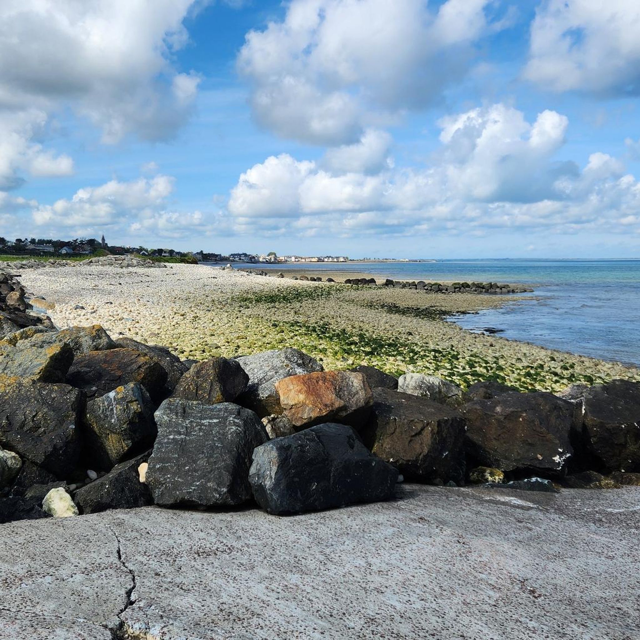
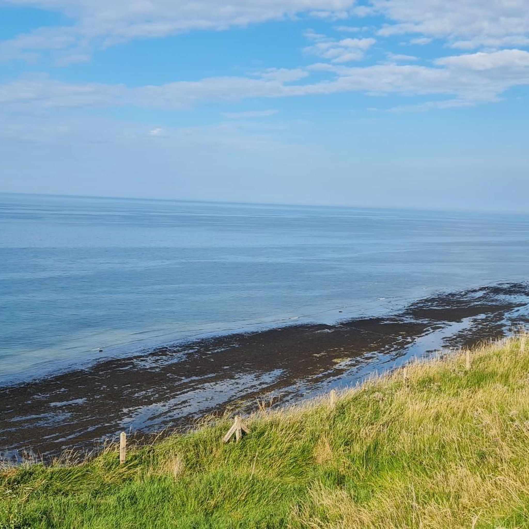
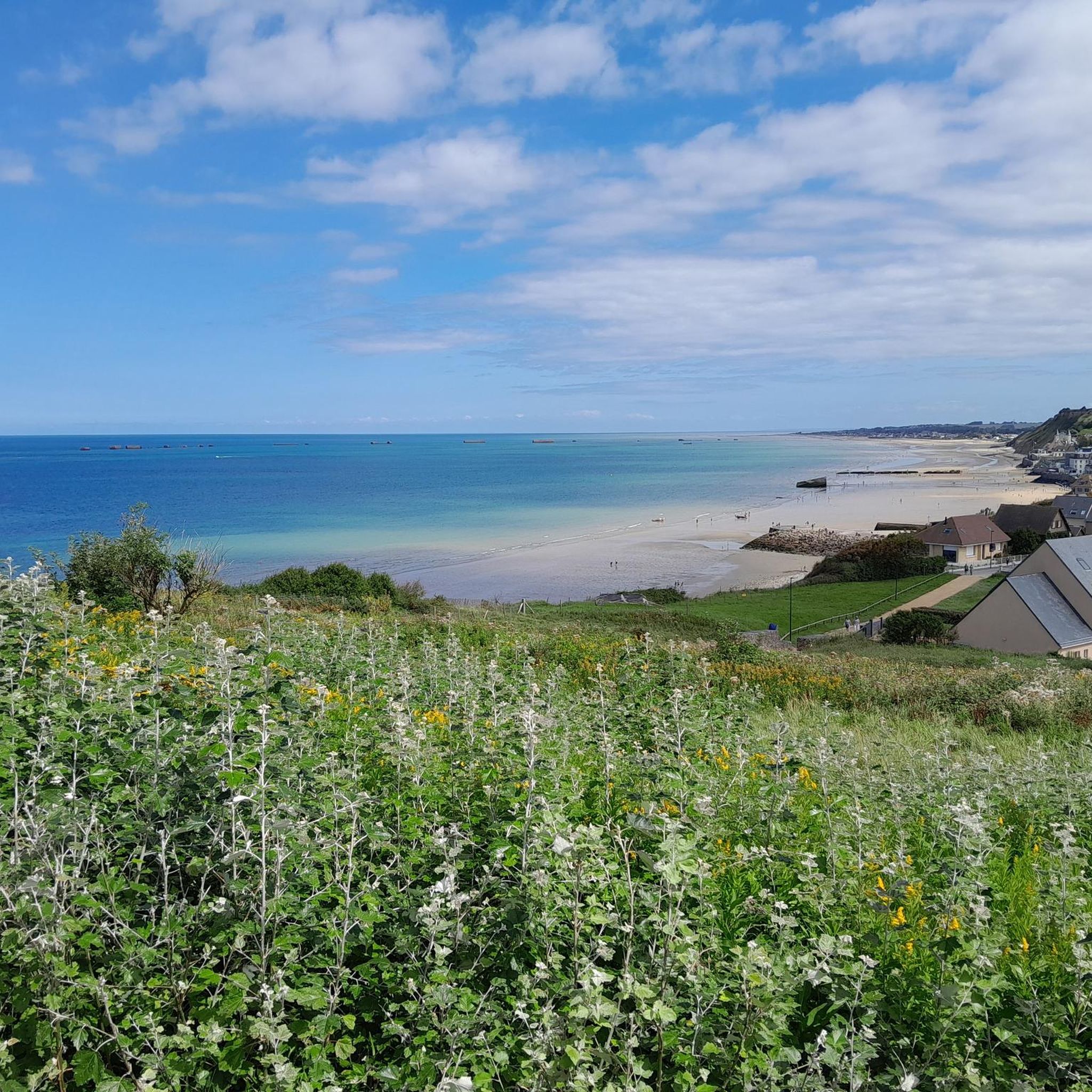


Tips from the Community

To do at least once, on the Ev04 seaway
0
0
What a view, when you think they climbed that cliff.
0
0


Dream view of the lookout point and the rocky outcrop in the sea.
6
0
Beautiful gravel path directly along the edge of the cliffs.
8
0


pure history to be experienced on 2 wheels
1
0
Frequently Asked Questions
What kind of terrain can I expect on gravel bike trails around Tournières?
The gravel bike trails around Tournières offer a diverse mix of terrain. You'll encounter rolling green hills, cultivated fields, and dense woodlands, particularly within the Forêt Domaniale de Cerisy. The region's distinctive bocage countryside, characterized by hedgerows, is also a prominent feature. Some routes may also lead you near historical D-Day sites and coastal areas, providing varied surfaces from compacted earth to gravel paths.
How many gravel bike trails are available in the Tournières area?
There are 10 gravel bike trails available around Tournières. These routes cater to various skill levels, with 4 moderate and 6 difficult options to choose from.
Are there any family-friendly gravel routes near Tournières?
While the guide primarily features moderate to difficult routes, the region offers diverse landscapes that can be enjoyed by families. For a more accessible experience, consider exploring sections of the Forêt Domaniale de Cerisy loop from Balleroy-sur-Drôme. This moderate 19.2 km (11.9 miles) path leads through extensive woodlands, providing a shaded and natural environment that might be suitable for families looking for a shorter, less challenging ride. Always check the route details for elevation and surface conditions to ensure it matches your family's abilities.
What historical sites or natural landmarks can I see along the gravel bike trails?
Many gravel routes in the Tournières area pass by significant historical and natural landmarks. You can explore sites like the ancient Abbey of Cerisy-la-Forêt, or the historical Église Notre-Dame Écrammeville. Some routes, such as the Gold Beach - Arromanches – Voie de la Liberté loop from Bayeux, will take you through coastal areas and past poignant D-Day sites. You might also encounter natural features like the Étang aux Moines or a scenic Wooden Bridge Over the Marshes, offering unique views of the local wetlands.
When is the best time of year to go gravel biking in Tournières?
Normandy generally offers good conditions for gravel biking from spring through autumn. The rolling green hills and forests are particularly beautiful during these seasons. While specific seasonal considerations for Tournières aren't detailed, the region's diverse landscapes, including forests and marshes, suggest that milder weather would be most enjoyable. Winter conditions might bring mud or colder temperatures, making some trails more challenging.
Are there any long-distance gravel routes for experienced riders?
Yes, for experienced riders seeking a challenge, Tournières offers several difficult long-distance routes. One notable option is the Gravel Route 'Libération' – Historic Center of Bayeux loop from Le Molay-Littry, which spans 125.7 km (78.1 miles) and connects various historical sites. Another demanding route is the Gravel Route 'Libération' – View of Pointe du Hoc loop from Lison, covering 126.5 km (78.6 miles) with significant elevation gain.
What do other gravel bikers enjoy most about gravel biking in Tournières?
The area is highly rated by the komoot community, with an average score of 3.5 stars from 2 reviews. Riders often praise the varied terrain, which includes rolling hills, dense forests, and historical landscapes near the Normandy coast. The network offers options for different ability levels, from moderate forest loops to challenging long-distance routes, ensuring there's something for everyone.
Can I find routes that explore the D-Day landing sites?
Absolutely. Tournières' location in Normandy places it near some of the most historically significant D-Day sites. Routes like the Voie de la Liberté – View of Pointe du Hoc loop from Trévières offer a chance to cycle through areas rich in history, providing views of iconic landmarks such as Pointe du Hoc. These routes combine scenic gravel paths with a profound historical experience.
Are there any circular gravel routes available?
Yes, many of the gravel routes around Tournières are designed as loops, allowing you to start and end at the same point. For example, the Forêt Domaniale de Cerisy loop from Balleroy-sur-Drôme is a popular circular path through woodlands. Similarly, the Gold Beach - Arromanches – Voie de la Liberté loop from Bayeux offers a long circular journey through coastal and historical areas.
What are the typical elevation gains on gravel routes in this region?
The elevation gains vary significantly depending on the route's length and difficulty. For instance, a moderate route like the Forêt Domaniale de Cerisy loop from Balleroy-sur-Drôme has an elevation gain of around 172 meters (564 feet). More challenging, long-distance routes, such as the Gravel Route 'Libération' – Historic Center of Bayeux loop from Le Molay-Littry, can feature over 750 meters (2,460 feet) of climbing, reflecting the rolling hills characteristic of the Normandy landscape.
Most popular routes around Tournières
Most popular attractions around Tournières

Get inspired with the komoot mobile app


Explore more
Browse the best Gravel rides in other regions.
