The best walks and hikes around Köllnholz
4.6
(3472)
14,767
hikers
833
hikes
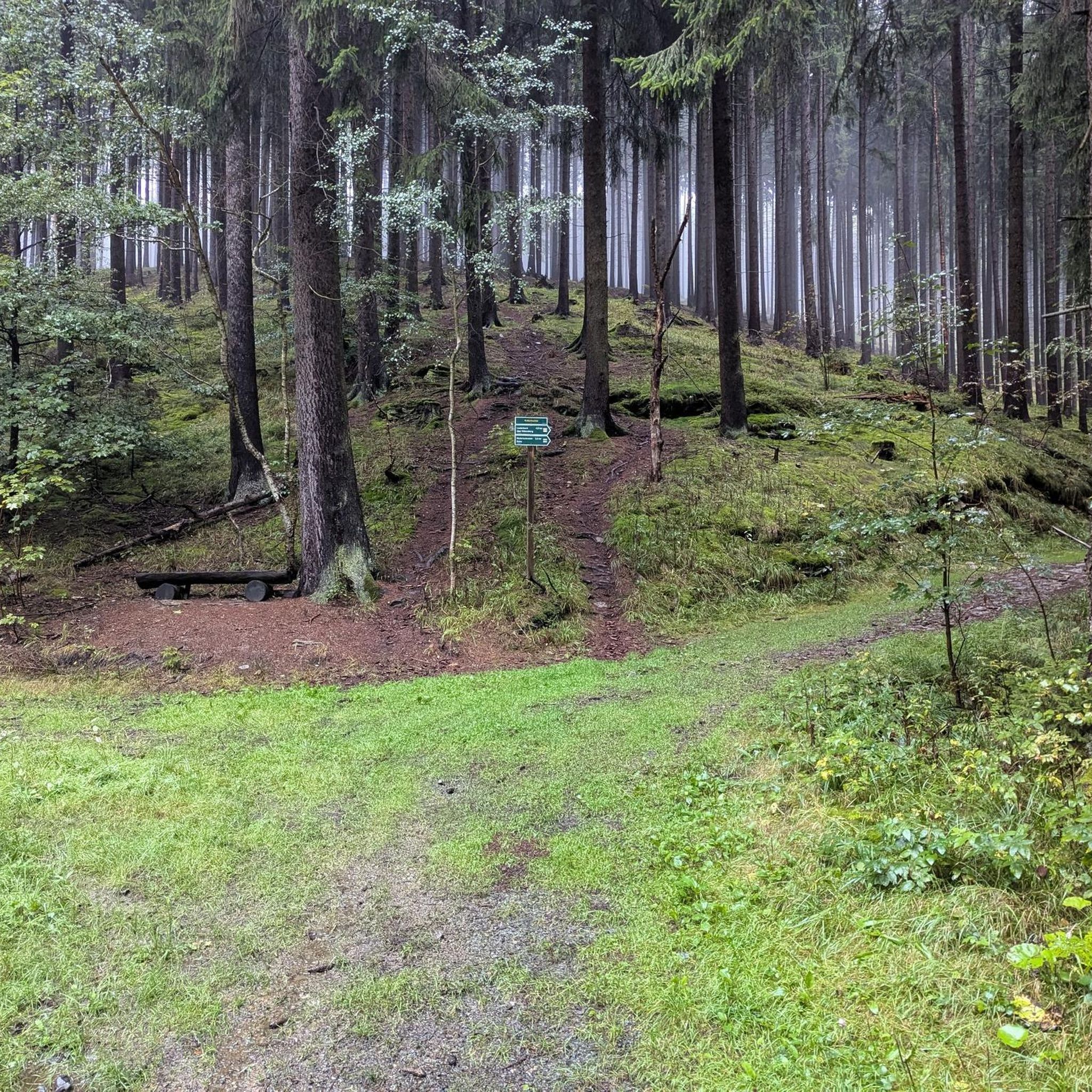
Hiking around Köllnholz features a landscape characterized by gentle, rolling terrain, often encompassing wooded areas and small water features. The region's trails typically involve modest elevation changes, making them accessible for various activity levels. These natural features provide a pleasant setting for outdoor exploration.
Best hiking trails around Köllnholz
- The most popular hiking route is Mönchsbrunnen – Mönchsbrunnen loop from Weitramsdorf, a 2.6 miles (4.2 km) trail that takes 1 hour 8 minutes to complete. This easy route explores…
Last updated: May 14, 2026
4.5
(8)
24
hikers
4.19km
01:08
60m
60m
Easy hike. Great for any fitness level. Easily-accessible paths. Suitable for all skill levels.
4.0
(6)
15
hikers
5.09km
01:24
80m
80m
Easy hike. Great for any fitness level. Easily-accessible paths. Suitable for all skill levels.

Sign up for free
5.0
(3)
11
hikers
6.39km
01:44
90m
90m
Easy hike. Great for any fitness level. Easily-accessible paths. Suitable for all skill levels.
4.9
(7)
16
hikers
7.17km
01:57
100m
100m
Easy hike. Great for any fitness level. Easily-accessible paths. Suitable for all skill levels.
4.8
(11)
17
hikers
9.38km
02:36
170m
170m
Moderate hike. Good fitness required. Easily-accessible paths. Suitable for all skill levels.
Get access to more routes and recommendations from other explorers.
Sign up for free
Already have an account?
Our route recommendations are based on thousands of hikes, rides, and runs completed by other people on komoot.
Start today with a free account
Your next adventure awaits.
Login or Signup
Tips from the Community

Beautiful autumn and peace and quiet - unfortunately there are these holes in the path planks...
0
0

An idyllic spot on a (nameless?) lake. The Schappach stream is apparently dammed here, forming several small ponds.
1
0

Numerous lovingly designed gnome places on the slope
0
0

Quietly located in the middle of beautiful nature.
11
0

Nature lovers' house with refreshments in the middle of the forest
0
0

Nice rest area at the Hoffmannsteichen 👍😉🍺
0
0
A beautiful view: ponds on one side, panoramic views over fields and forests on the other
0
0
Frequently Asked Questions
How many hiking trails are available in Köllnholz?
Köllnholz offers a wide selection of hiking opportunities, with over 800 trails recorded on komoot. This includes a diverse range of routes suitable for various preferences and fitness levels.
What kind of terrain can I expect when hiking in Köllnholz?
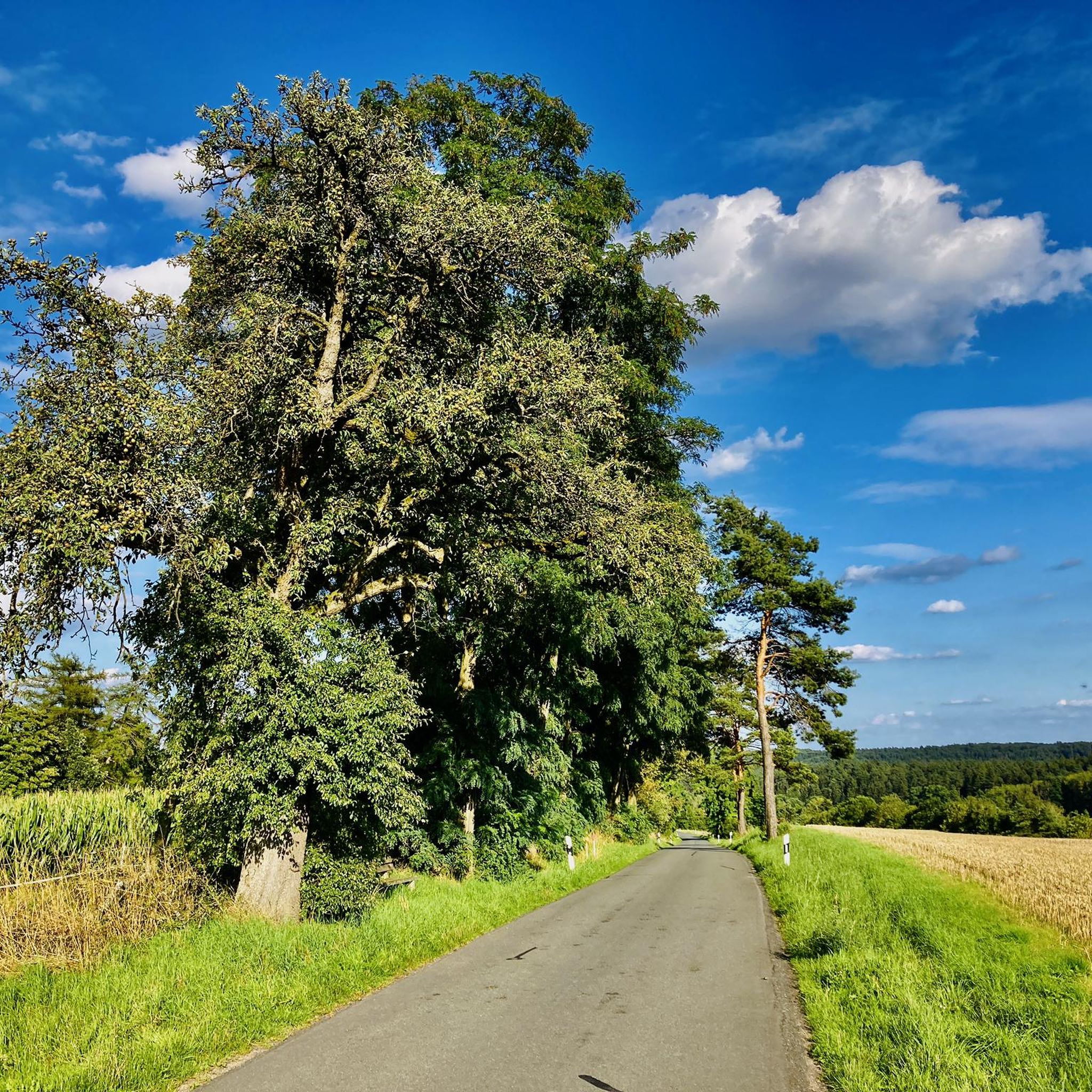
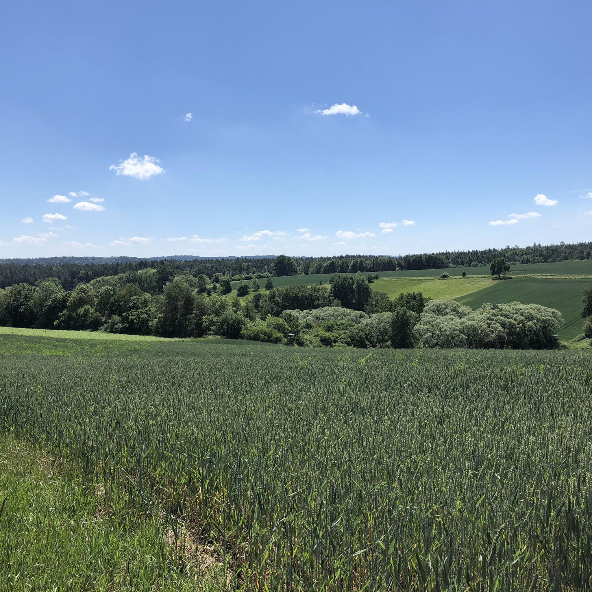
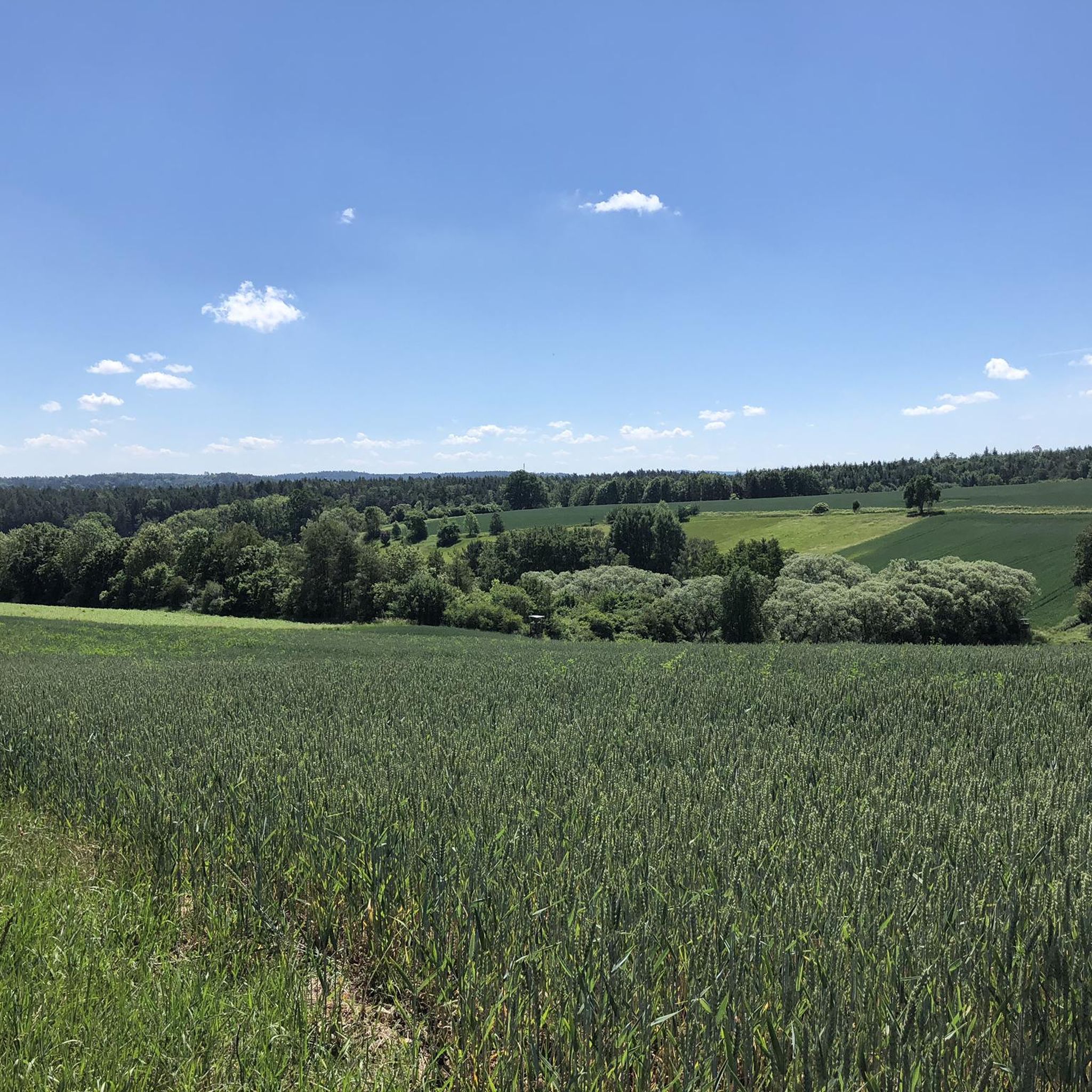
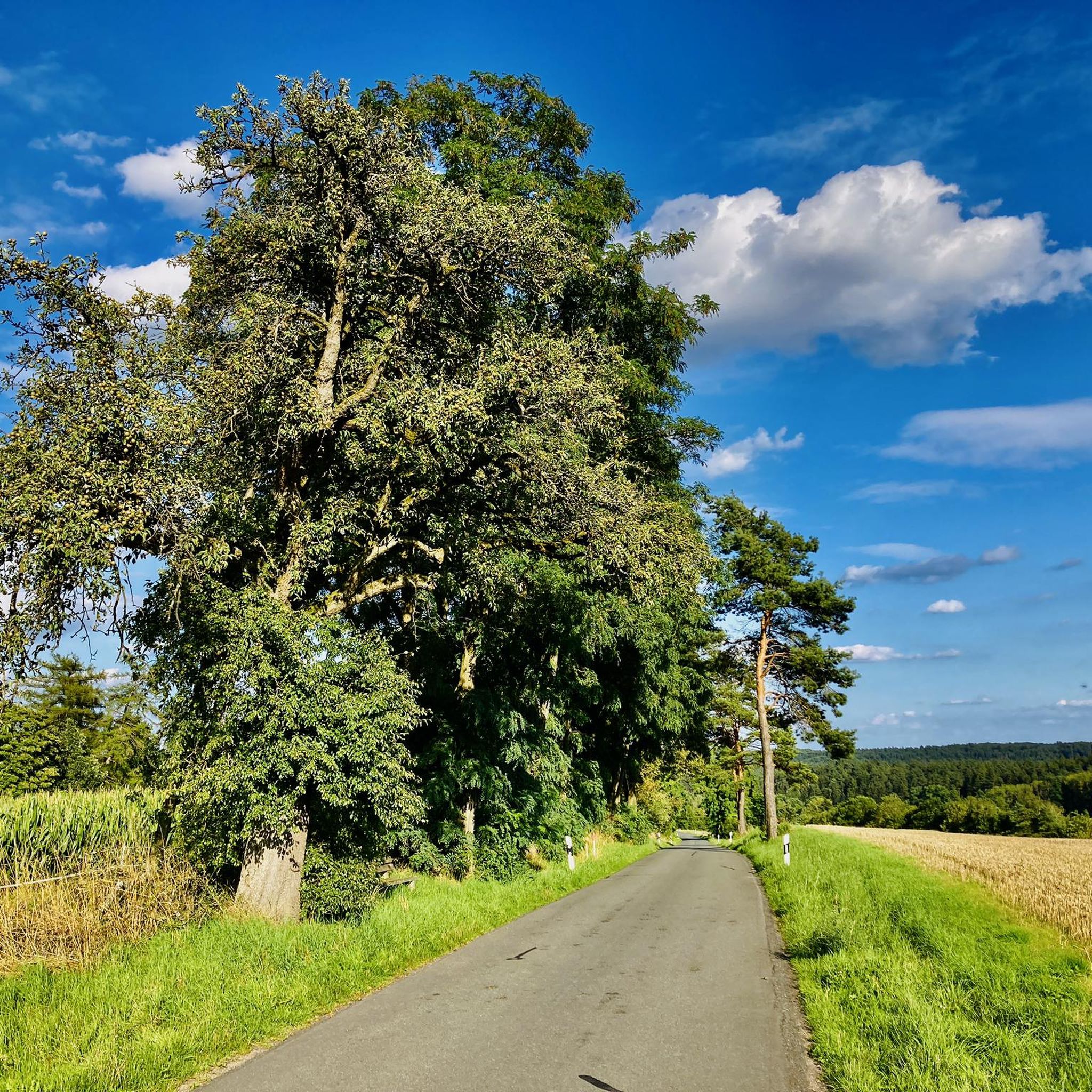
The landscape around Köllnholz is characterized by gentle, rolling terrain, often featuring wooded areas and small water features. Trails typically involve modest elevation changes, making them accessible for many activity levels. You'll find gentle hills, wooded paths, and local springs throughout the region.
Are there easy hiking trails suitable for beginners in Köllnholz?
Yes, Köllnholz has a significant number of easy trails, with over 450 routes classified as easy. A great option for beginners is the Mönchsbrunnen – Mönchsbrunnen loop from Weitramsdorf, which is 2.6 miles (4.2 km) long and explores local springs and woodlands.
Are there any circular hiking routes in Köllnholz?
Many of the trails in Köllnholz are designed as circular routes, allowing you to start and end at the same point. For example, the Mönchsbrunnen – View of Weinberg loop from Weitramsdorf is an easy 3.2-mile (5.1 km) path that offers views of the Weinberg area and passes by the Mönchsbrunnen.
What do other hikers say about the trails in Köllnholz?
The hiking routes in Köllnholz are highly rated by the komoot community, with an average score of 4.6 stars from over 3,200 reviews. Hikers often praise the varied terrain, gentle paths, and the pleasant natural setting.
Are there any moderate or challenging hikes in Köllnholz?
While many trails are easy, Köllnholz also offers a good selection of moderate hikes, with over 320 routes in this category. For a moderate excursion, consider the Kupferbrunnen – St. Andreas Cemetery loop from Fürstenkopf, which is 5.8 miles (9.4 km) long and features more elevation change.
What natural features or landmarks can I see while hiking in Köllnholz?
While hiking in Köllnholz, you can explore various natural features like woodlands, gentle hills, and local springs. The region also has nearby attractions such as the Goldbergsee (Coburg Sea) and the Observation platform at the Glender Wiesen bird sanctuary. You might also encounter historical sites like Coburg Castle Square.
Are there any lakes or castles near the hiking trails in Köllnholz?
Yes, the area around Köllnholz features several lakes and castles. Notable lakes include the Goldbergsee and Cow Lake. For castles, you can visit Ehrenburg Palace or Callenberg Castle, which are within reach of the hiking areas.
Is there a trail that combines natural beauty with historical elements?
The region offers routes that blend natural scenery with glimpses of local history. For instance, the Kupferbrunnen – Market Fountain, Ummerstadt loop from Ummerstadt is an easy 4.5-mile (7.2 km) trail that takes you past the Kupferbrunnen and through the historic town of Ummerstadt.
What is a good trail for experiencing varied terrain in Köllnholz?
For a hike that offers varied terrain, consider the Hanftensee – Kupferbrunnen loop from Schlettach. This 4.0-mile (6.4 km) easy trail leads through different landscapes, often completed in about 1 hour 44 minutes, providing a diverse hiking experience.
Most popular attractions around Köllnholz

Get inspired with the komoot mobile app


Explore more
Browse the best Hikes in other regions.
