The best gravel rides in Weir Canyon Regional Park
22
riders
4
rides
Gravel biking in Weir Canyon Regional Park offers routes through varied terrain, characterized by rolling, chaparral-covered hills and tranquil canyon bottoms. The park features a network of trails that traverse canyons, ridges, and areas near reservoirs. Riders can expect a mix of doubletrack paths and rocky singletrack, with significant elevation changes and views of the surrounding landscape. Distinctive sandstone formations and extensive oak woodlands define the natural beauty of the area.
Best gravel bike trails in Weir Canyon Regional Park
…Last updated: July 5, 2026
1
riders
Moderate gravel ride. Good fitness required. Mostly paved surfaces. Suitable for all skill levels.
5
riders
55.7km
04:29
1,060m
1,060m
Hard gravel ride. Very good fitness required. Mostly paved surfaces. Suitable for all skill levels.

Sign up for free
12
riders
51.5km
04:09
1,030m
1,030m
Hard gravel ride. Very good fitness required. Mostly paved surfaces. Suitable for all skill levels.
Our route recommendations are based on thousands of hikes, rides, and runs completed by other people on komoot.
Start today with a free account
Your next adventure awaits.
Login or Signup

Tips from the Community

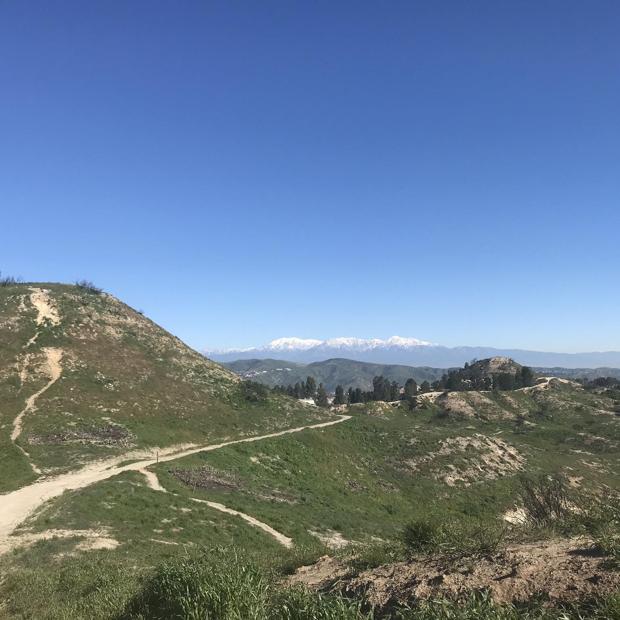
This view of Sierra Peak showcases one of the highest and most easily identifiable peaks in northern Orange County. It stands at 3,045 feet above sea level.
1
0

Situated up with the cell towers at 3,045 feet, Sierra Peak offers awesome views of Orange County and the surrounding mountains. Because it's such a long trek from car to summit, you'll likely have most of the route and the peak to yourself.
0
0

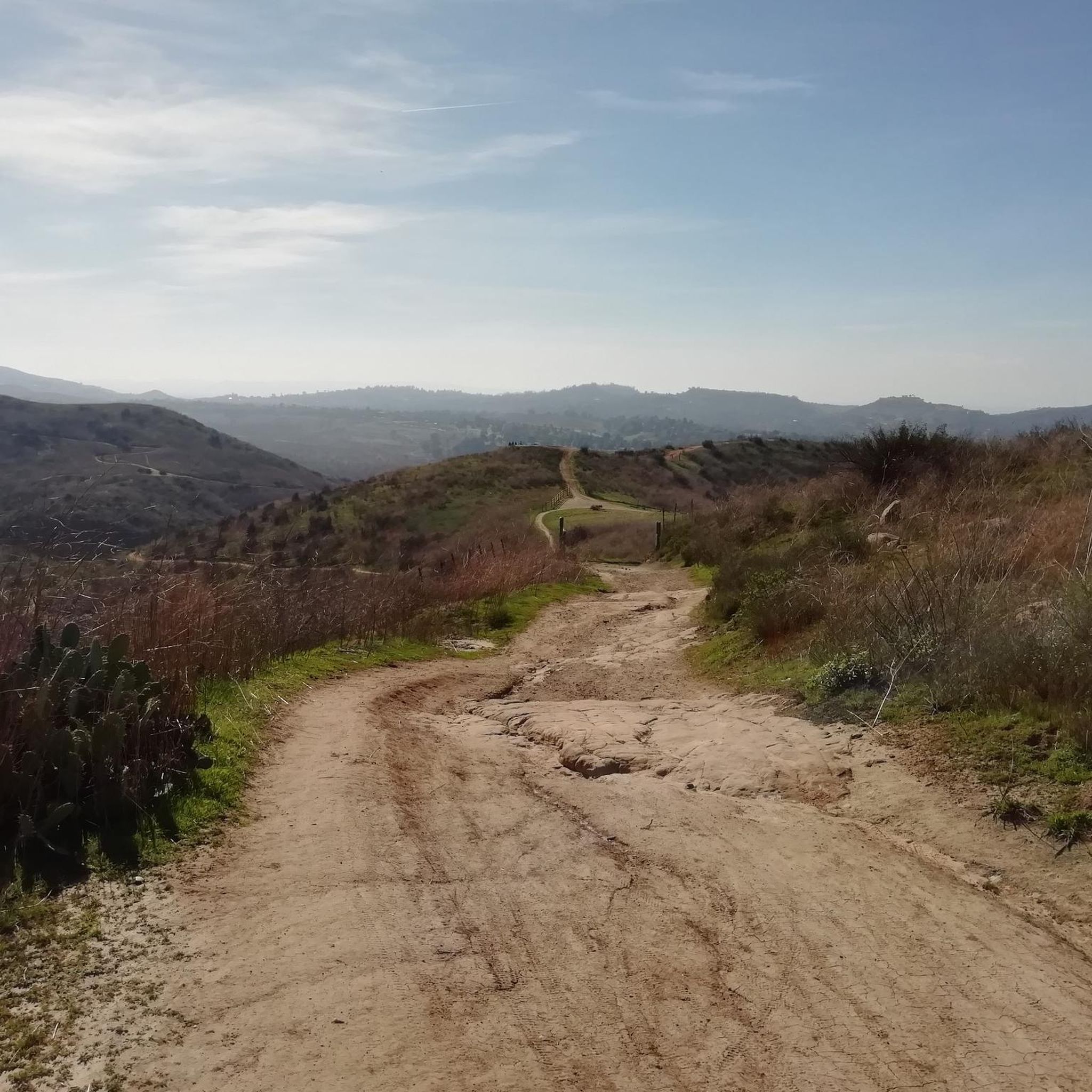
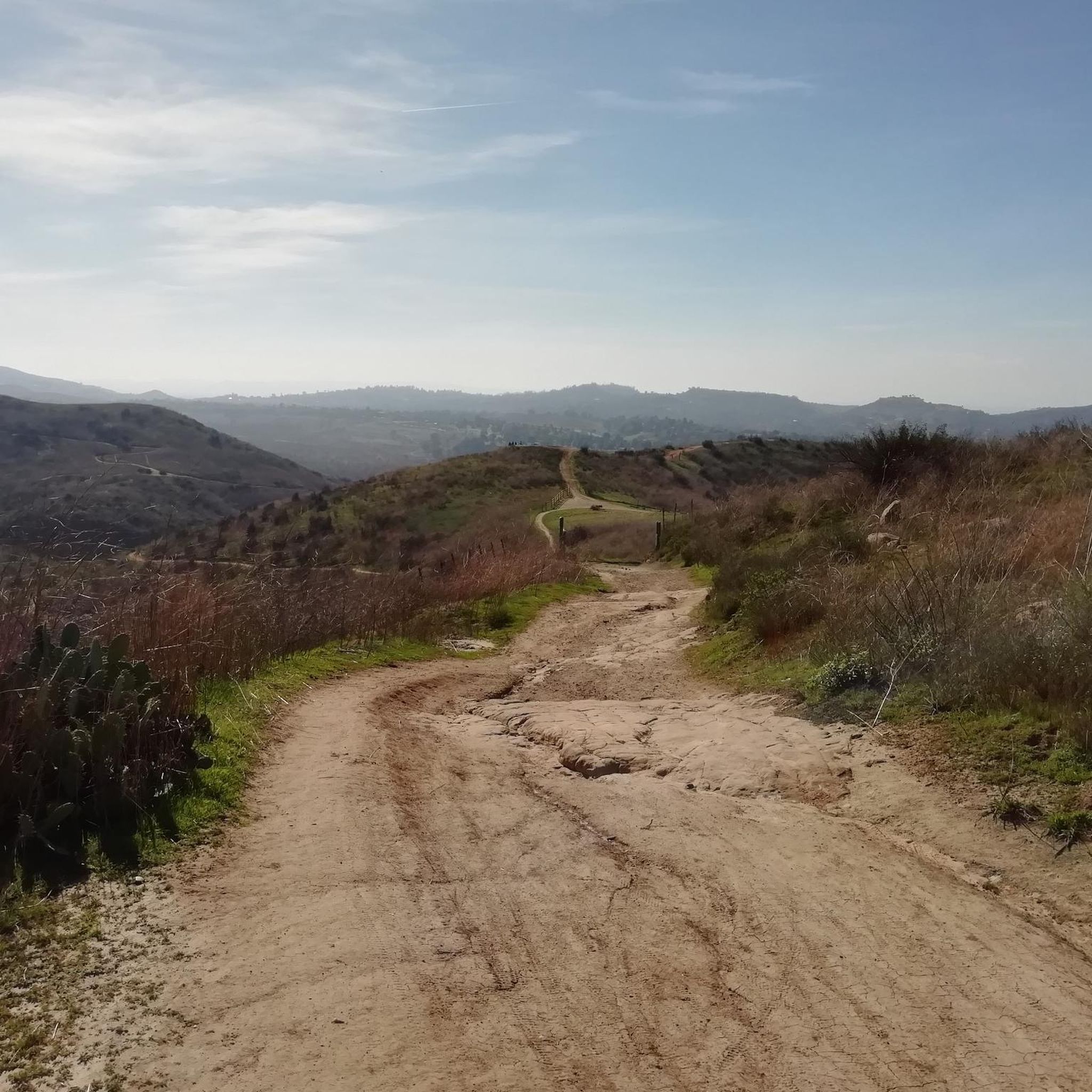
The trail is a wide dirt road through what feels like remote terrain, despite being quite close to Orange County. There is some loose rock that could make the descent mildly technical, but otherwise, this is a fairly steady route to Mini Moab and Sierra.
0
0
This area is designated as a wildlife sanctuary for rare and endangered wildlife. It has about 4,500 acres of wild space and open land.
0
0
There is lots of parking here, and as you head away from the highway you have access to the paved two-lane Santa Ana River trail which stretches (nearly) all the way from San Bernardino to the Pacific Ocean. If you head west along the river trail you will come to Coal Canyon and can access the trails south of the highway.
1
0
This used to be the village of Puhú, which was shared between four different local indigenous tribes. The village was massacred by fur traders in 1832.
0
0

The ruins of Beeks Place are the remains of old stone buildings built in the 1930's by Joseph Beeks (who created the Balboa Island Ferry service in Newport Beach) to use as a weekend getaway. Located right along Main Divide road, it makes for a nice place to take a break and take in the views.
0
0

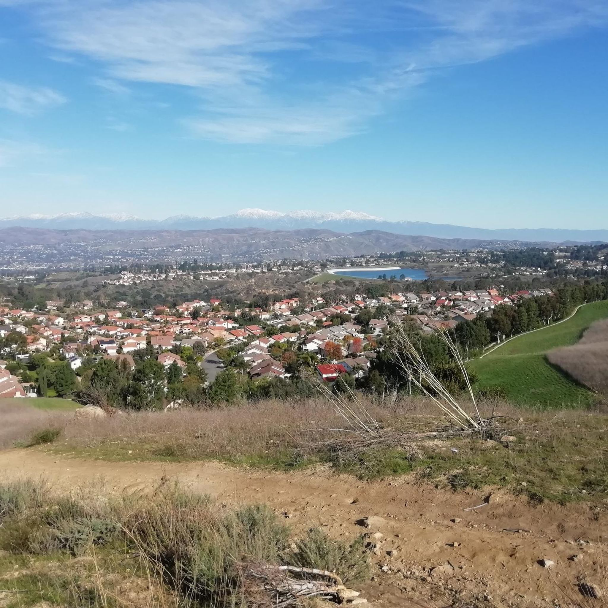
Climbing to this point involves navigating some pleasant elevation changes, but the sweeping views of the Orange County area make the effort well worthwhile.
0
0
Frequently Asked Questions
What is the overall difficulty level for gravel biking in Weir Canyon Regional Park?
Gravel biking in Weir Canyon Regional Park primarily features challenging routes. Most trails are rated as difficult, with significant elevation changes and technical sections. There is one moderate route available for those seeking a less strenuous ride.
Are there any family-friendly or beginner gravel bike trails in Weir Canyon Regional Park?
While many routes are challenging, the Santiago Creek Trail – Roadrunner Loop trailhead loop from Orange Park Acres is rated as moderate, making it a more accessible option. This 13.5-mile (21.8 km) trail offers a gentler experience through creek-side paths and open areas, suitable for riders with some experience looking for a less intense ride.
What are the typical trail conditions for gravel biking in Weir Canyon Regional Park?
Trails in Weir Canyon Regional Park are characterized by varied terrain, including dirt roads, fire roads, and some singletrack sections. Riders should expect a mix of loose gravel, compacted earth, and potentially rocky areas, especially on climbs and descents. Conditions can vary with recent weather, so it's always advisable to check local park advisories before heading out.
What is the best season for gravel biking in Weir Canyon Regional Park?
The best seasons for gravel biking in Weir Canyon Regional Park are typically fall, winter, and spring. Summers can be very hot, with temperatures often exceeding 90°F (32°C), making rides uncomfortable and increasing the risk of heat-related issues. Cooler months offer more pleasant riding conditions.
Are there any loop gravel trails in Weir Canyon Regional Park?
Yes, all the featured gravel bike routes in Weir Canyon Regional Park are designed as loops. For example, you can explore the challenging Sierra Peak Summit – View of Sierra Peak loop from A or the scenic Black Star Falls – Native American Village loop from Santiago Canyon College, both offering comprehensive tours of the area.
Where can I find parking for gravel biking in Weir Canyon Regional Park?
Many routes in Weir Canyon Regional Park start from locations with designated parking. For instance, the Black Star Falls – Native American Village loop and the View of Sierra Peak – Barham Ridge Trail viewpoint loop both begin near Santiago Canyon College, which typically offers parking facilities. Always check specific trailhead information for the most accurate parking details.
Are permits required for gravel biking in Weir Canyon Regional Park?
Weir Canyon Regional Park is part of the Irvine Ranch Open Space, and some areas within this larger preserve may require a permit for access, especially for certain activities or during specific times. It's crucial to check the official Irvine Ranch Conservancy website or local park signage for the most up-to-date information on permit requirements before planning your ride.
What kind of wildlife might I encounter while gravel biking in Weir Canyon Regional Park?
Weir Canyon Regional Park is home to diverse wildlife. Riders might spot mule deer, coyotes, bobcats, and various bird species, including raptors like red-tailed hawks. It's important to maintain a respectful distance from all wildlife and never feed animals.
Are there any notable viewpoints along the gravel bike trails?
Yes, several routes offer impressive viewpoints. The Sierra Peak Summit – View of Sierra Peak loop from A leads to panoramic views from Sierra Peak. Another route, the View of Sierra Peak – Barham Ridge Trail viewpoint loop from Santiago Canyon College, also provides excellent vistas of the surrounding landscape.
What should I wear for gravel biking in Weir Canyon Regional Park?
Given the varied terrain and potential for significant elevation changes, it's recommended to wear moisture-wicking cycling apparel. Layers are advisable, especially during cooler months or for early morning rides. Always wear a helmet, and consider padded shorts for comfort on longer rides. Sun protection, including sunscreen and sunglasses, is essential due to the open nature of many trails.
Are there any cafes or places to refuel near the Weir Canyon gravel trails?
Weir Canyon Regional Park is primarily a natural open space, so direct amenities like cafes are not typically found within the park itself. However, areas surrounding the park, such as Orange Park Acres or near Santiago Canyon College, offer various dining and refreshment options. It's always best to carry sufficient water and snacks for your ride, especially on longer routes.
How does gravel biking in Weir Canyon compare to mountain biking?
The trails in Weir Canyon Regional Park are well-suited for both gravel and mountain bikes, often featuring fire roads and wider dirt paths. While mountain bikes might offer more suspension for comfort on rougher sections, gravel bikes are perfectly capable of handling the terrain, especially the longer, less technical climbs and descents. The choice often comes down to personal preference and the specific route's technicality.
Most popular routes in Weir Canyon Regional Park

Get inspired with the komoot mobile app


Explore more
Browse the best Gravel rides in other regions.
