The best road cycling routes around St. Albans
20
riders
5
rides
Road cycling around St. Albans features a varied landscape, including undulating terrain with significant elevation changes in areas like the nearby Chiltern Hills. The region also offers extensive woodlands, such as Heartwood Forest, and green spaces like Verulamium Park. A network of quiet lanes and dedicated paths provides diverse options for road cyclists.
Best road cycling routes around St. Albans
- The most popular road cycling route is Roadbike loop from St. Albans, a 50.6 miles (81.4 km) trail that…
Last updated: June 27, 2026
6
riders
81.4km
03:36
760m
760m
Moderate road ride. Good fitness required. Mostly well-paved surfaces and easy to ride.
3
riders
55.9km
02:20
300m
300m
Moderate road ride. Good fitness required. Mostly well-paved surfaces and easy to ride.

Sign up for free
5
riders
Hard road ride. Very good fitness required. Some segments of this route may be unpaved and difficult to ride.
3
riders
23.1km
01:03
160m
160m
Easy road ride. Great for any fitness level. Mostly well-paved surfaces and easy to ride.
Our route recommendations are based on thousands of hikes, rides, and runs completed by other people on komoot.
Start today with a free account
Your next adventure awaits.
Login or Signup
Popular around St. Albans

Tips from the Community

Great way to get up the Notch and avoid most of Route 107
0
0

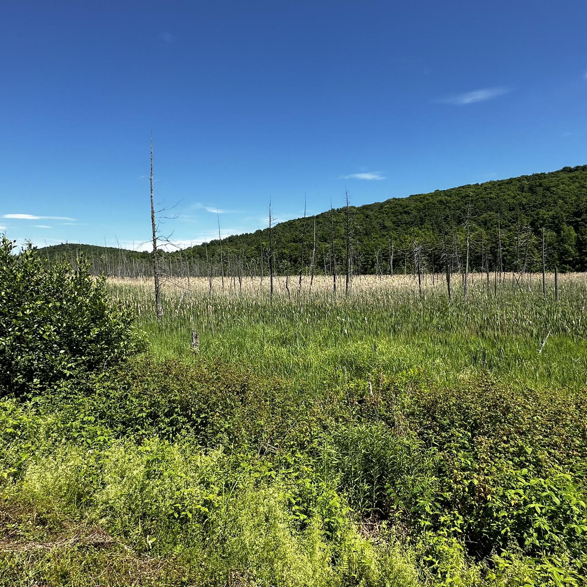
The Grist Mill Covered Bridge, which is also known as the Scott Covered Bridge, the Bryant Covered Bridge, or the Canyon Covered Bridge, spans the Brewster River near the beautiful Brewster River Gorge and falls. This bridge is one of a small number of surviving Burr arch truss bridges in the state and was built in the 19th century. In 1974 it was listed on the National Register of Historic Places. There is a nice overlook for the Brewster Falls not far from here, down a short trail if you wanted to leave your bikes and go on a short walk.
0
0
From the main parking area, you must walk back on the road and through the Grist Mill Covered Bridge. Also known as the Scott Covered Bridge, the Bryant Covered Bridge,or the Canyon Covered Bridge, this bridge is one of a small number of surviving Burr arch truss bridges in the state and was built in the 19th century. In 1974 it was listed on the National Register of Historic Places.
0
0

Great view from the road of the surrounding area. Smugglers' Notch is between Vermont's highest peak (Mount Mansfield), Spruce Peak and Sterling Ridge.
1
0
The Stowe Recreation Path is a 5.3 mile fully paved trail from Stowe Village to Top Notch Resort. It is a beautiful path to ride that is free from car traffic.
0
0

Frequently Asked Questions
What kind of terrain can I expect when road cycling around St. Albans?
The St. Albans area offers a diverse landscape for road cyclists. You'll find undulating terrain, particularly towards the nearby Chiltern Hills, which provide some challenging climbs and descents. There are also extensive woodlands like Heartwood Forest and green spaces such as Verulamium Park, connected by a network of quiet lanes and dedicated paths. The region is known for its varied scenery, from rolling hills to picturesque villages.
Are there road cycling routes suitable for beginners or those looking for an easy ride?
Yes, St. Albans offers options for all skill levels. For an easier ride, consider routes with less elevation gain. For example, the Roadbike loop from Peter & Frances Mallett Municipal Recreational Area is classified as easy and covers a distance of approximately 22.7 km. The Alban Way, a traffic-free route, is also ideal for leisure cyclists and families.
Where can I find more challenging road cycling routes near St. Albans?
For more advanced road cyclists, the region provides routes with significant elevation changes, especially in the Chiltern Hills. A challenging option is the Grist Mill Bridge – Stowe Recreation Path loop from Fairfield Swamp Wildlife Management Area, which spans over 113 km and features substantial climbs. The Chilterns Cycleway also offers a 170-mile circular route with undulating terrain for experienced riders.
Are there any family-friendly road cycling routes in St. Albans?
Absolutely. The Alban Way is a popular 6.3-mile traffic-free route, perfect for families and leisure cyclists due to its flat, smooth surface. The St. Albans Green Ring, a 6.5-mile circular route, also provides a pleasant path through parks and green spaces, connecting to various amenities and historical sites suitable for family outings.
What are some scenic highlights or landmarks I can see while cycling around St. Albans?
Road cycling routes around St. Albans often pass through beautiful natural and historical sites. You can cycle through the picturesque Chiltern Hills, explore Heartwood Forest with its ancient woodlands, or enjoy the green spaces of Verulamium Park. Many routes also offer views of historic landmarks such as St. Albans Cathedral and the Roman Theatre of Verulamium. Charming villages with traditional pubs are also common sights along routes like the Wheathampstead Loop and those through The Ayots.
Are there options for longer road cycling tours from St. Albans?
Yes, St. Albans is an excellent starting point for longer road cycling adventures. The Grist Mill Bridge – Stowe Recreation Path loop from Fairfield Swamp Wildlife Management Area is a substantial 113.9 km route. Another popular option is the Roadbike loop from St. Albans, covering over 81 km, offering a significant distance for experienced cyclists.
Can I find circular road cycling routes in the St. Albans area?
Many road cycling routes around St. Albans are designed as loops, allowing you to start and finish in the same location. Examples include the St. Albans Green Ring, a 6.5-mile circular route around the city, and the 14-mile Wheathampstead Loop which takes you through charming villages and past Heartwood Forest. The Chilterns Cycleway is also a major 170-mile circular route that passes through the nearby Chiltern Hills.
Are there any road cycling routes that include pub or cafe stops?
Yes, many routes in the St. Albans countryside are designed to pass through charming villages that offer opportunities for refreshment. Routes like the Wheathampstead Loop and those exploring The Ayots often feature traditional pubs and cafes, providing convenient spots to take a break and refuel during your ride.
What is the best time of year for road cycling in St. Albans?
The spring and summer months generally offer the most pleasant conditions for road cycling in St. Albans, with warmer weather and longer daylight hours. Spring also brings beautiful displays of bluebells in areas like Heartwood Forest. While cycling is possible year-round, autumn can be scenic with changing foliage, and winter rides require appropriate gear for colder, potentially wetter conditions.
How many road cycling routes are available around St. Albans?
There are several road cycling routes available around St. Albans, catering to various skill levels. This guide features 5 highly-rated routes, with 1 easy, 2 moderate, and 2 difficult options, ensuring there's a suitable ride for everyone.
What makes St. Albans a good destination for road cycling?
St. Albans is recognized as a 'Cycling City' due to its diverse terrain, ranging from the challenging Chiltern Hills to flat, traffic-free paths like the Alban Way. The area boasts a well-integrated network of local lanes and National Cycle Network routes, offering scenic rides through woodlands, green spaces, and historic villages. The variety of routes and accessible attractions make it appealing for all ages and abilities.
Can I access road cycling routes in St. Albans using public transport?
St. Albans is well-connected by public transport, making it accessible for cyclists. The city's integration into the National Cycle Network, with Routes 6 and 61 meeting in the town center, means many routes are easily reachable from key transport hubs. You can plan your journey to start near the city center and connect directly to various cycling paths.
Most popular routes around St. Albans

Get inspired with the komoot mobile app


Explore more
Browse the best Road cycling routes in other regions.
