The best gravel rides around Laurys Station
5.0
(23)
56
riders
7
rides
Gravel biking around Laurys Station, Pennsylvania, offers access to a network of trails, often following former railroad corridors. The region is characterized by the Lehigh River, which many routes parallel, and features lush greenery and forested areas. Trails typically consist of crushed stone or packed gravel surfaces, providing varied terrain for cyclists. The landscape includes wide, flat sections alongside more undulating paths, catering to different preferences.
Best gravel bike trails around Laurys Station
- The most popular gravel bike trail is…
Last updated: May 14, 2026
5.0
(8)
18
riders
34.5km
01:49
180m
180m
Moderate gravel ride. Good fitness required. Mostly paved surfaces. Suitable for all skill levels.
4.9
(8)
13
riders
37.6km
01:59
160m
160m
Moderate gravel ride. Good fitness required. Mostly paved surfaces. Suitable for all skill levels.

Sign up for free
5.0
(6)
10
riders
40.0km
02:08
190m
190m
Moderate gravel ride. Good fitness required. Mostly paved surfaces. Suitable for all skill levels.
24
riders
62.0km
03:20
350m
350m
Moderate gravel ride. Good fitness required. Mostly paved surfaces. Suitable for all skill levels.
5
riders
50.1km
03:22
150m
150m
Moderate gravel ride. Good fitness required. Mostly paved surfaces. Suitable for all skill levels.
Get access to more routes and recommendations from other explorers.
Sign up for free
Already have an account?
Our route recommendations are based on thousands of hikes, rides, and runs completed by other people on komoot.
Start today with a free account
Your next adventure awaits.
Login or Signup
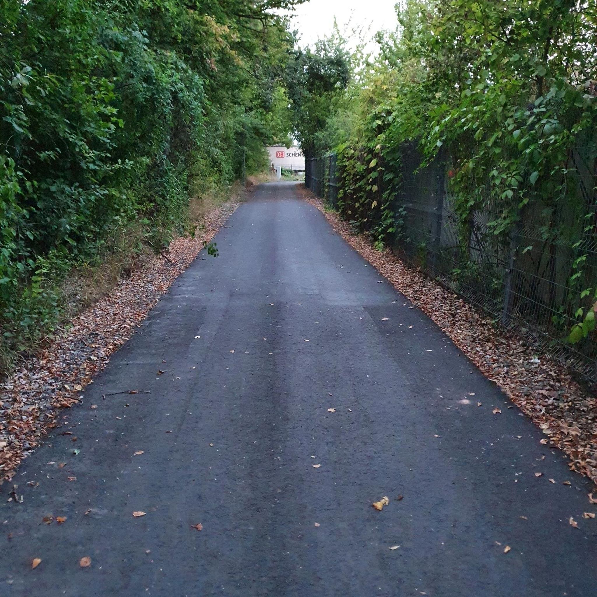
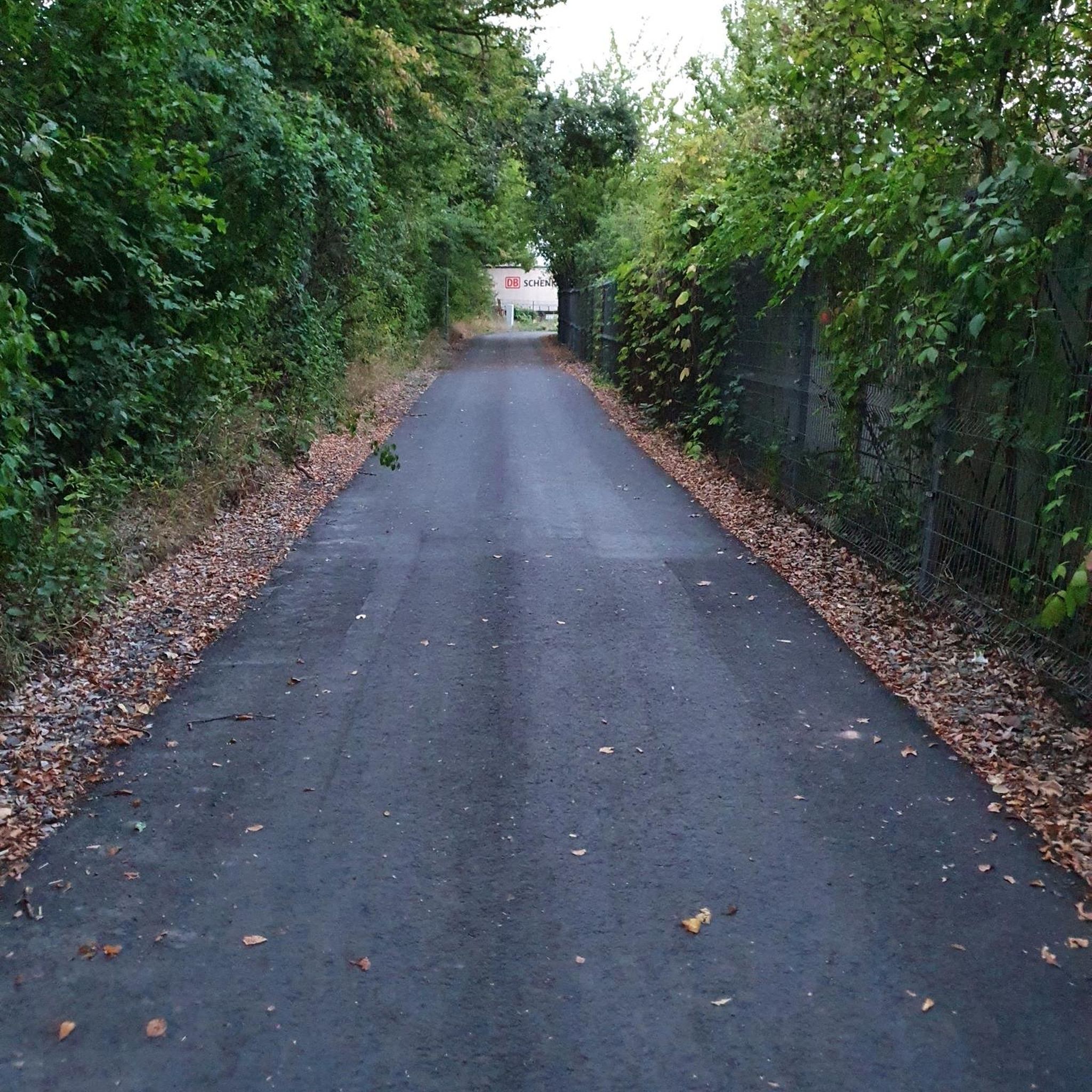



Tips from the Community


Luke's Falls fall a short 20 feet into the Lehigh River. However, the location along the D&L Rail Trail is a fun spot to ride to along a calm, quiet, riverside path.
0
0

This is all that's left of the stonework building that was once the pottery for Moravian settlers. The building later served as a cloth-making and weaving workshop, and as housing too.
0
0
This is all that's left of the stonework building that was once the pottery for Moravian settlers. The building later served as a cloth-making and weaving workshop, and as housing too.
0
0

Whether you're seeking a quiet picnic spot, or a fun afternoon with friends and family, this park has something for everyone. Cycle the paved path around the lake, connecting to the D&L Trail for further adventures.
0
0

The Lehigh River is 109 miles long and flows to the Delaware River. It runs through the Pocono Mountains and the Lehigh Valley.
0
0
Buttermilk Falls is one of many falls that can be seen along the Lehigh Trail, which is a section of the 165-mile D&L Trail.
0
0
Lukes Falls is a small waterfall along Lehigh Gorge Trail. The Lehigh River is directly across the trail from this waterfall.
0
0
Frequently Asked Questions
What kind of terrain can I expect on gravel bike trails around Laurys Station?
The gravel bike trails around Laurys Station primarily feature crushed stone or packed gravel surfaces, often following former railroad corridors like the D&L Trail and Ironton Rail Trail. You'll find a mix of wide, flat sections suitable for relaxed rides and some paths with gentle inclines, offering varied terrain for different skill levels. Many routes run alongside the Lehigh River, providing picturesque views.
Are there family-friendly gravel bike trails in the area?
Yes, the region offers several family-friendly options. The rail-trails, such as sections of the D&L Trail and the Ironton Rail Trail, are generally wide and flat, making them accessible for various skill levels, including families. These trails often wind through scenic, wooded areas, providing a pleasant experience for all.
Can I bring my dog on the gravel bike trails near Laurys Station?
Many of the rail-trails in the Lehigh Valley, including sections of the D&L Trail and the Ironton Rail Trail, are dog-friendly. It's always recommended to keep your dog on a leash and to check specific trail regulations before you go to ensure a pleasant experience for everyone.
Where can I find parking for gravel biking near Laurys Station trails?
Parking is generally available at various access points along the major rail-trails. For instance, the Ironton Rail Trail has designated parking areas. For specific routes, such as the D&L Trail loop from Walnutport, you would typically find parking in or near the starting town of Walnutport.
Are there any circular gravel bike routes available?
Yes, there are several circular gravel bike routes. For example, the D&L Trail loop from Walnutport and the D&L Trail – Views of the Lehigh River loop from Lehigh Gap are popular circular options that allow you to start and end in the same location.
What natural features or views can I expect to see along the gravel bike trails?
You can expect to see lush greenery, forested areas, and significant stretches along the Lehigh River, which is a prominent feature of the landscape. The narrow forested floodplain of the Lehigh River near Laurys Station provides habitat for wildlife, including nesting ospreys. Trails often offer scenic river views and opportunities to observe local wildlife.
Are there any historical landmarks or attractions near the gravel bike routes?
Yes, the region is rich in history and natural beauty. Along the trails, you might encounter historical elements of the D&L Trail, which is part of the Delaware & Lehigh National Heritage Corridor. Nearby attractions include the Wehr Covered Bridge and the Kreidersville Covered Bridge, offering glimpses into the area's past. The Trexler Nature Preserve is also a notable natural attraction in the vicinity.
When is the best time of year to go gravel biking around Laurys Station?
The spring, summer, and fall months generally offer the best conditions for gravel biking around Laurys Station, with pleasant temperatures and vibrant scenery. The lush greenery of spring and the colorful foliage of autumn are particularly appealing. While some trails may be accessible in winter, conditions can vary, so checking local weather is always advised.
Are there cafes or places to eat near the gravel bike trails?
While Laurys Station itself is a smaller community, the broader Lehigh Valley region, including nearby towns like Northampton and Walnutport, offers various cafes, restaurants, and pubs where you can refuel before or after your ride. Many trailheads are located close to these amenities.
What do other gravel bikers enjoy the most about gravel biking in Laurys Station?
The area is highly rated by the komoot community, with an average score of 5.0 stars from over 20 reviews. Reviewers often praise the well-maintained rail-trails, the scenic views along the Lehigh River, and the peaceful atmosphere of the forested paths. The variety of routes, from flat and accessible to more challenging, is also frequently highlighted.
Are there any longer, more challenging gravel routes for experienced riders?
For experienced riders seeking a longer and more challenging adventure, routes like the Views of the Lehigh River – Buttermilk Falls loop from Walnutport offer a significant distance of over 90 km and more elevation gain, providing a demanding yet rewarding experience through varied landscapes.
How many gravel bike trails are available in the Laurys Station area?
There are several gravel bike trails available in the Laurys Station area, with komoot featuring 7 distinct routes. These range from moderate to difficult, offering options for various skill levels and preferences.
Most popular attractions around Laurys Station

Get inspired with the komoot mobile app


Explore more
Browse the best Gravel rides in other regions.
