The best road cycling routes around Silver City
198
riders
7
rides
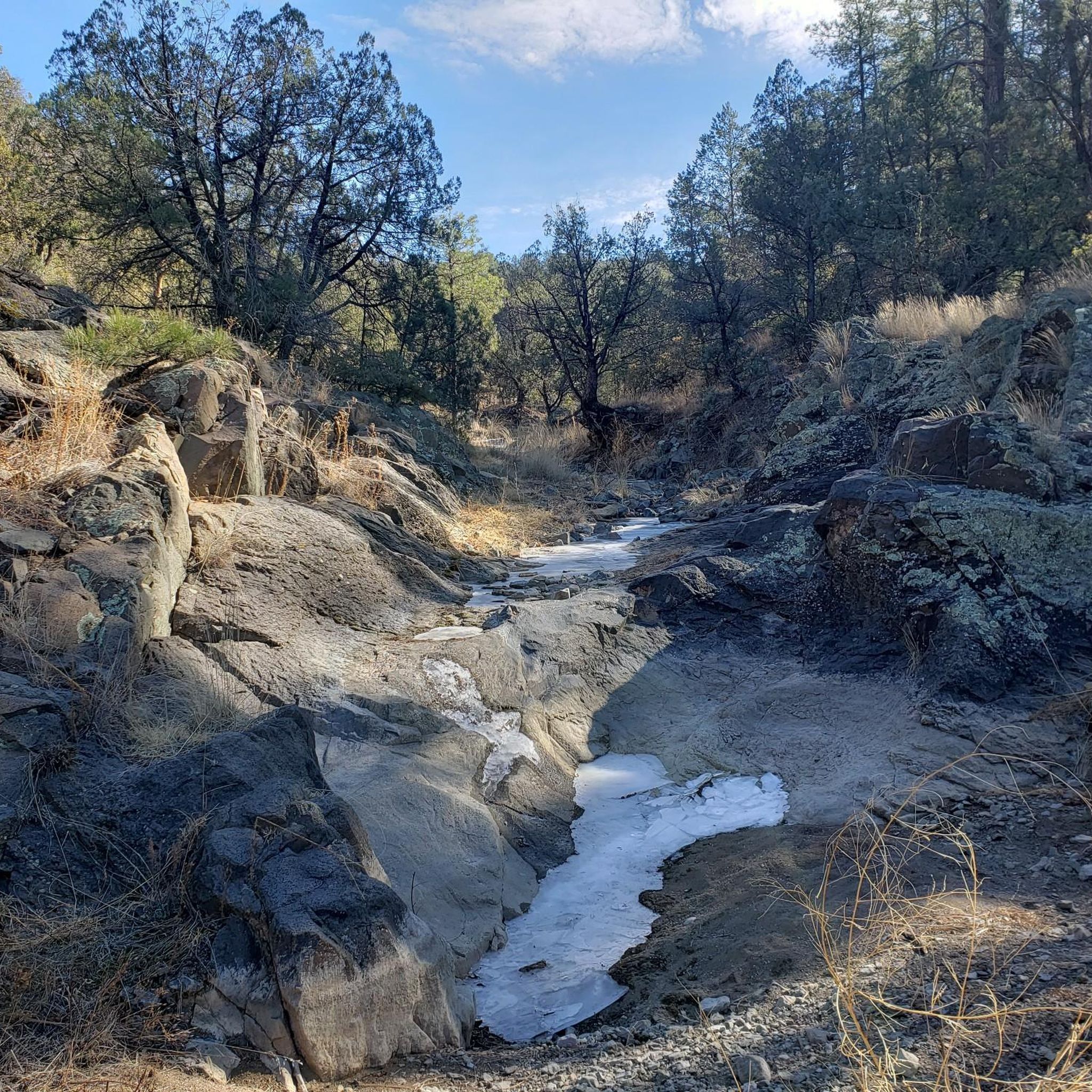
Road cycling routes around Silver City, New Mexico, traverse a landscape characterized by high desert terrain, rolling hills, and views of distant mesas. The region offers a mix of open roads and routes that approach the Gila River valley. Elevations vary, providing both gradual climbs and more challenging ascents.
Best road cycling routes around Silver City
- The most popular road cycling route is Wild Horse Mesa loop from Silver City, a 46.2 miles (74.4 km) trail that takes 3 hours 46 minutes to complete. This difficult route offers extensive views across the high desert landscape.
- Another top favourite among local road cyclists is Wild Horse Mesa – Gila river valley overlook loop from Pinos Altos, a difficult 50.7 miles (81.5 km) path. This route features significant elevation gain and overlooks the Gila River valley.
- Local road cyclists also love the Silver City, New Mexico loop from Silver City, a 14.0 miles (22.5 km) trail leading through varied terrain, often completed in about 1 hour 5 minutes.
- Road cycling around Silver City is defined by high desert landscapes, rolling hills, and views of mesas, with options for easy, moderate, and difficult routes. The network offers choices for different ability levels.
- The guide includes highly-rated routes that showcase the best of the region's landscape. More than 180 road cyclists have used komoot to explore Silver City's varied terrain.
Last updated: June 26, 2026
45
riders
74.4km
03:50
1,260m
1,260m
The Wild Horse Mesa loop offers a truly immersive road cycling experience through the stunning landscapes surrounding Silver City, New Mexico. As you navigate the route, you'll be treated to breathtaking views in every direction, especially as you descend onto Wild Horse Mesa itself, passing through serene ponderosa forests. This challenging ride is celebrated for its diverse terrain and expansive vistas, making it a favorite among local cyclists.
Planning your ride requires good fitness, as this difficult 46.2 miles (74.4 km) loop involves a significant 4146 feet (1263 metres) of elevation gain, typically taking around 3 hours and 50 minutes to complete. While much of the route is paved, be prepared for some unpaved and potentially difficult segments, particularly the steep and winding descent from the mesa. Starting your ride from Silver City offers convenient access to this popular route.
This loop is not just a ride; it's an adventure along a section of the "Trail of the Mountain Spirits National Scenic Byway," highlighting its importance for scenic beauty. It's considered the most popular road cycling route originating from Silver City, drawing cyclists who appreciate both a physical challenge and spectacular natural features. Keep an eye out for the expansive views that define this iconic New Mexico ride.
17
riders
44.9km
02:19
660m
660m
This Silver City, New Mexico loop from Arenas Valley offers a fantastic road cycling experience through the high desert. You'll navigate rolling hills and open stretches, with views of distant mesas and the expansive Gila National Forest providing a scenic backdrop. The route's varied terrain and elevation changes make it a rewarding ride for those who enjoy a moderate challenge.
Planning your ride is straightforward, as the Silver City area is known for its year-round cycling opportunities thanks to cool summers and mild winters. While specific trailhead parking for this loop isn't detailed, the region is well-equipped for cyclists. Always ensure you have adequate water and check local conditions before setting off, especially if you're riding during the warmer parts of the year.
This particular loop is a great way to experience the cycling culture of Silver City, a hub for New Mexico's premier road biking. The area famously hosts the demanding Tour of the Gila race, and this route gives you a taste of the diverse landscape, ranging from desert grasslands to mountain vistas, that makes the region so popular with cyclists.

Sign up for free
12
riders
81.5km
04:42
1,740m
1,740m
The Wild Horse Mesa – Gila river valley overlook loop from Pinos Altos offers a truly epic road cycling experience, winding through the varied landscapes of the Gila National Forest. You'll climb through fragrant ponderosa pine forests, traverse high desert terrain, and navigate rolling hills, all while being treated to spectacular, expansive views into the Gila River Valley. The highlight is undoubtedly the challenging section near Wild Horse Mesa, which features a thrilling 1,000-foot (305-meter) descent over about 3 miles (4.8 km), complete with sharp corners and switchbacks.
This is a difficult 50.7-mile (81.5 km) road cycling route with a substantial 5712 feet (1741 metres) of elevation gain, typically requiring around 4 hours and 41 minutes for completion. The ride begins in Pinos Altos, a convenient starting point for cyclists in the region. While the route is generally well-paved, it's always wise to check current road conditions, as some local roads can be unpaved. Thanks to cool summers and mild winters, cycling is often possible year-round, but always plan for the weather.
This route is part of the larger network of roads in the Gila National Forest, an area famous for hosting sections of the professional "Tour of the Gila" cycling race. The diverse terrain, ranging from 4,500 to 9,000 feet in elevation, provides a constantly changing backdrop of grasslands, mountainous woodlands, and piñon-juniper forests. It's a fantastic choice for advanced cyclists seeking a demanding ride with incredible scenery, showcasing why the Silver City area is a magnet for road cycling enthusiasts.
13
riders
38.7km
02:03
620m
620m
Moderate road ride. Good fitness required. Mostly well-paved surfaces and easy to ride.
10
riders
147km
08:26
2,990m
2,990m
The Gila Hot Springs – Gila Cliff Dwellings loop from Silver City offers an unforgettable road cycling experience, winding through diverse landscapes from desert grasslands to high mountain forests. You'll be treated to stupendous views of the Gila National Forest, deep canyons, and rugged peaks, with the dramatic geological history of the region evident in every turn. This 91.1-mile (146.6 km) route is rated difficult, featuring 9798 feet (2986 metres) of elevation gain and an estimated duration of 8 hours and 26 minutes, making it a true test for experienced cyclists.
Planning your ride requires attention to detail. The New Mexico Highway 15 section, especially from Silver City, is notoriously challenging with narrow roads and steep grades up to 12%, so prepare for a demanding ascent. Spring and fall are the ideal seasons to tackle this loop, offering more moderate temperatures than the summer. While traffic is generally light on NM-15 and NM-35, be mindful that road shoulders can be limited in places.
This loop is recognized globally as a world-class cycling destination, even serving as part of the professional Tour of the Gila race course. Beyond the physical challenge, you can visit the ancient Gila Cliff Dwellings National Monument, a significant cultural landmark. Keep an eye out for wildlife too; the area is home to elk, mule deer, wild turkeys, eagles, hawks, and even black bears.
Get access to more routes and recommendations from other explorers.
Sign up for free
Already have an account?
Our route recommendations are based on thousands of hikes, rides, and runs completed by other people on komoot.
Start today with a free account
Your next adventure awaits.
Login or Signup
Popular around Silver City
Tips from the Community

A great place to stop of for a Rest day or two, A vibrant art scene, nice pub and eateries. Two bike shops, an outdoor shop and a laundromat
0
0

This bridge takes you across the river to see the cliff dwellings on its south side. You don't need to worry about motorized vehicles or bikers here; only foot traffic is allowed in this wilderness area.
0
0

The Grapevine Campground is a free tent camping campground with vault toilets and nearby treatable water. If trying to gain access to the trail leading to Melanie Hot Springs, you have the option to either wade across the river under the bridge or to walk the pavement across the bridge.
0
0

Gila Hot Springs is a small town along the Continental Divide and Grand Enchantment Trail. You can resupply at the small store of Doc Campell's Post – very hiker friendly – or send a package there. There is also WiFi, showers and a water spigot next to it. If you like to stay overnight, you will find a developed campground next to the river. And there are of course the hot springs!
6
3

Silver City's former Main Street was washed away but the floods caused by mining erosion in the hills around the city in the 1880s, cutting an over 30 feet deep ditch several blocks through the middle of downtown, today a city park 50 feet below the city level.
1
0
4 caves high in the sandstone cliffs of a narrow side canyon to the Gila River with houses built in successive phases between 800 and 1300 AD. Occupied by some 60 Mogollan natives.
0
0
Frequently Asked Questions
How many road cycling routes are available around Silver City?
There are over 6 road cycling routes documented on komoot around Silver City, offering a variety of distances and difficulty levels for different riders.
Are there any easy road cycling routes suitable for beginners or families?
Yes, for those seeking an easier ride, the Silver City, New Mexico loop from Silver City is a great option. This 14.0-mile (22.5 km) route is classified as easy and typically takes about 1 hour 5 minutes to complete, leading through varied terrain.
What are some of the longer road cycling routes in the Silver City area?
For longer rides, consider the Wild Horse Mesa – Gila river valley overlook loop from Pinos Altos, which spans 50.7 miles (81.5 km) with significant elevation gain. Another substantial option is the Wild Horse Mesa loop from Silver City, covering 46.2 miles (74.4 km) with extensive high desert views.
Are there challenging routes for advanced road cyclists?
Absolutely. The region offers several difficult routes, including the Wild Horse Mesa – Gila river valley overlook loop from Pinos Altos and the Wild Horse Mesa loop from Silver City. Both feature considerable distances and elevation changes, providing a robust challenge for experienced riders.
What kind of scenery can I expect on road cycling routes around Silver City?
Road cycling routes around Silver City traverse a diverse landscape of high desert terrain, rolling hills, and offer expansive views of distant mesas. Some routes, like the Wild Horse Mesa – Gila river valley overlook loop, provide stunning overlooks of the Gila River valley.
Are there any loop routes for road cycling in Silver City?
Yes, many of the road cycling routes in the area are loops. Examples include the Silver City, New Mexico loop from Silver City, the Wild Horse Mesa loop from Silver City, and the Wild Horse Mesa – Gila river valley overlook loop from Pinos Altos, allowing you to start and end in the same location.
What is the best time of year for road biking in Silver City?
Given its high desert climate, spring and fall generally offer the most pleasant temperatures for road cycling in Silver City. Summers can be hot, and while winters are milder than many places, conditions can vary, especially at higher elevations.
What are some interesting landmarks or attractions near the road cycling routes?
While cycling, you might pass by or be near various points of interest. Silver City itself offers attractions like Downtown Silver City, The Big Ditch - San Vincente Creek, and the Visitor Center- Pioneer cabin, Anita Scott Coleman memorial. These can be explored before or after your ride.
Are there options for moderate road cycling routes?
Yes, there are several moderate routes. The Roadbike loop from Silver City, at 15.6 miles (25.1 km), and the Silver City, New Mexico loop from Harrison H. Schmitt Elementary School, at 24.1 miles (38.7 km), both offer a good balance of distance and elevation without being overly strenuous.
What do other road cyclists enjoy most about road cycling in Silver City?
The komoot community frequently praises the diverse high desert landscapes, the rolling hills, and the extensive views of mesas that define the road cycling experience in Silver City. The variety of routes, from easy to difficult, also allows many riders to find suitable challenges.
Can I find cafes or places to refuel along the road cycling routes?
While specific cafes directly on every route might be limited in the more remote high desert sections, Silver City itself offers various options for refreshments and meals. Planning your route to start or end in town, or carrying sufficient supplies for longer rides, is advisable.
Most popular routes around Silver City
Most popular attractions around Silver City

Get inspired with the komoot mobile app


Explore more
Browse the best Road cycling routes in other regions.
