The best cycling routes around West Alton
4.4
(28)
65
riders
11
rides
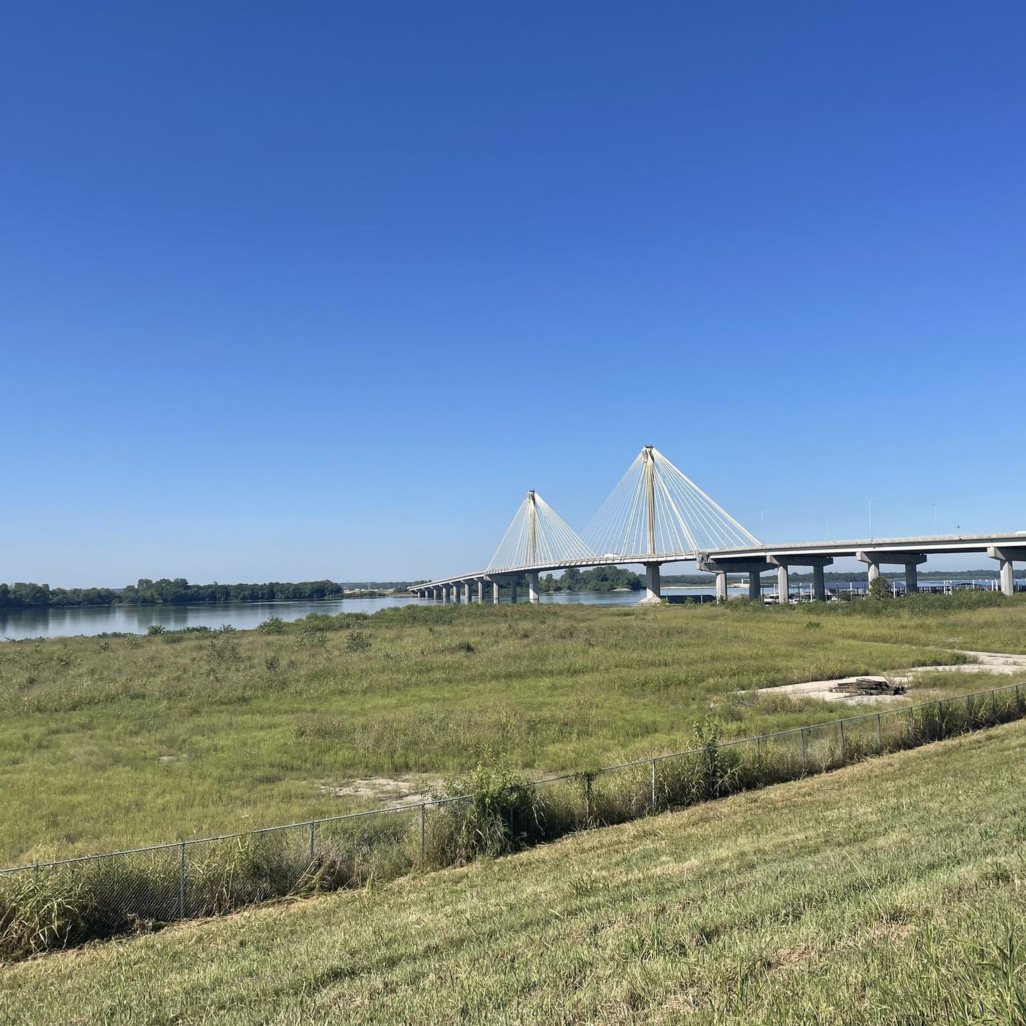
Touring cycling routes around West Alton, Missouri, are characterized by a unique riverine environment at the confluence of the Mississippi and Missouri Rivers. The landscape features forests, wetlands, and old fields, providing diverse natural settings for cycling. The area offers relatively flat terrain, making it suitable for various skill levels.
Best touring cycling routes around West Alton
- The most popular touring cycling route is Luther Ely Smith Square – Gateway Arch loop from Chouteau Island, a 28.8 miles (46.4…
Last updated: November 15, 2026
3.8
(5)
16
riders
50.2km
03:12
180m
180m
Moderate bike ride. Good fitness required. Mostly paved surfaces.
5.0
(2)
11
riders
40.4km
02:17
100m
100m
Moderate bike ride. Good fitness required. Mostly paved surfaces.

4.0
(2)
6
riders
Moderate bike ride. Good fitness required. Mostly paved surfaces.
6
riders
Easy bike ride. Mostly paved surfaces.
7
riders
43.1km
02:42
70m
70m
Moderate bike ride. Good fitness required. Mostly paved surfaces.
Get access to more routes and recommendations from other explorers.
Already have an account?
Our route recommendations are based on thousands of hikes, rides, and runs completed by other people on komoot.

Tips from the Community

The gateway to the West... is worth a visit.
1
0
The gateway to the West... is worth a visit!
0
0
You should visit here if you are ever in the area😎
0
0

Great Trail Surface. Watch out for dog walkers and joggers!
0
0

The Gateway Arch National Park in St. Louis, Missouri, commemorates the era of American westward expansion. Its focal point is the 192-meter-high stainless steel arch, symbolizing new beginnings and discovery. The complex also includes a museum and the historic Old Courthouse, where the Dred Scott trial began. Located directly on the Mississippi River, the park was designated a national park in 2018—a decision that is not without controversy due to its urban character, but attracts many visitors.
0
0

Gateway Arch, St Louis, United States 🇺🇸 The Gateway Arch stands as a magnificent monument to westward expansion, its gleaming stainless steel soaring 630 feet into the sky. Designed by Eero Saarinen, this iconic structure is not just a visual spectacle but also a testament to incredible engineering and architectural prowess. Visitors can even take a tram to the top for breathtaking panoramic views of the city of St. Louis and the mighty Mississippi River, truly offering a unique perspective on the American landscape. Beyond its impressive height, the Arch is nestled within Gateway Arch National Park, a vibrant green space that invites exploration and relaxation. The park grounds include the Old Courthouse, where the Dred Scott case was heard, adding a layer of historical significance to the modern landmark. Walking around the base of the Arch provides a different appreciation for its scale and the meticulous construction involved in its creation. A trip to the Gateway Arch is more than just seeing a famous landmark; it's an immersive experience. The museum beneath the Arch offers insightful exhibits detailing the history of westward expansion and the construction of the monument itself, providing context and deepening one's understanding of its importance. Whether admiring it from afar or ascending to its summit, the Arch offers a memorable journey into American history and innovation.
2
0

Great flat trail with access to the towns along the way.
0
0

The Gateway Arch National Park on the banks of the Mississippi River, centrally located in downtown, is the landmark of the city of St. Louis.
0
0
Frequently Asked Questions
How many touring cycling routes are available around West Alton?
There are 12 touring cycling routes around West Alton, offering a variety of experiences for cyclists. These routes are highly rated by the komoot community, with an average score of 4.6 stars.
What kind of terrain can I expect on touring cycling routes in West Alton?
The touring cycling routes around West Alton are generally characterized by a relatively flat riverine environment. You'll encounter landscapes featuring forests, wetlands, and old fields, particularly near the confluence of the Mississippi and Missouri Rivers. The routes are suitable for various skill levels, with 7 easy and 5 moderate options.
Are there any circular touring cycling routes in the West Alton area?
Yes, several routes offer a circular experience. For example, the Luther Ely Smith Square – Gateway Arch loop from Chouteau Island is a 28.8-mile loop, and the Bridge on MCT Goshen Trail – Troy Junction at Route 162 loop from Wanda covers 25.1 miles. Another option is the Confluence Trail – Levee Road (Gravel) loop from Wood River, which is 27.7 miles long.
What natural features or landmarks can I see while cycling near West Alton?
West Alton is rich in natural beauty and historical landmarks. You can witness the confluence of the Mississippi and Missouri Rivers at Edward (Ted) and Pat Jones-Confluence Point State Park. Along your rides, you might encounter the Old Chain of Rocks Bridge, the Confluence Tower and the Lewis & Clark Monument, and the Chouteau Island Country Road. The area is also known for bird watching, especially bald eagles in winter, near the Melvin Price Locks and Dam.
Are there any easy touring cycling routes suitable for families in West Alton?
Yes, there are 7 easy touring cycling routes around West Alton. A good option for a more relaxed ride is the Melvin Price Locks and Dam – MCT Confluence Trail loop from MCT Park and Ride, which is 14.8 miles long. The relatively flat terrain throughout the region makes many routes accessible for families.
Where can I find parking for touring cycling routes in West Alton?
Parking is available at various access points. The Lincoln-Shields Recreation Area, located at the Mississippi River near the William Clark Bridge, provides parking facilities. Additionally, many trailheads, such as the MCT Park and Ride, offer dedicated parking for cyclists.
What is the best time of year to go touring cycling in West Alton?
The riverine environment of West Alton offers pleasant cycling conditions during spring and fall, with milder temperatures and vibrant scenery. Winter can be a unique time for bird watching, particularly bald eagles, but be prepared for colder weather. Summers can be warm and humid, so early morning rides are recommended.
Are there places to eat or stay near the cycling routes in West Alton?
While West Alton itself is more focused on natural areas, the nearby town of Alton, Illinois, just a short drive across the Clark Bridge, offers numerous options for cafes, pubs, and accommodation. Within the immediate area, you might find the Luna Cafe (Route 66) as a point of interest. The Lincoln-Shields Recreation Area also has picnicking facilities.
Can I access the Katy Trail from West Alton?
While the Katy Trail is a prominent rail-trail in Missouri, it is largely located in St. Charles County. There are discussions about potentially extending it to Confluence Point State Park, which would significantly enhance direct access from West Alton. Currently, the Katy Trail East of St. Charles is a highlight you can explore.
What is the average duration for a touring cycling route in West Alton?
The duration of routes varies depending on their length and your pace. For instance, the Melvin Price Locks and Dam – Riverfront Park loop from Wood River, an easy 12.7-mile route, typically takes around 1 hour 12 minutes. Longer moderate routes, like the Luther Ely Smith Square – Gateway Arch loop from Chouteau Island (28.8 miles), can take approximately 2 hours 39 minutes.
What do other touring cyclists enjoy most about cycling in West Alton?
The area is highly rated by the komoot community, with an average score of 4.6 stars from over 20 reviews. Cyclists often praise the unique riverine environment, the relatively flat terrain suitable for various skill levels, and the opportunities to explore significant natural features like the confluence of the great rivers.
Most popular routes around West Alton
Most popular attractions around West Alton

Get inspired with the komoot mobile app


Explore more
Browse the best Cycling routes in other regions.
