
The best running trails around Leona Valley
19
runners
4
runs
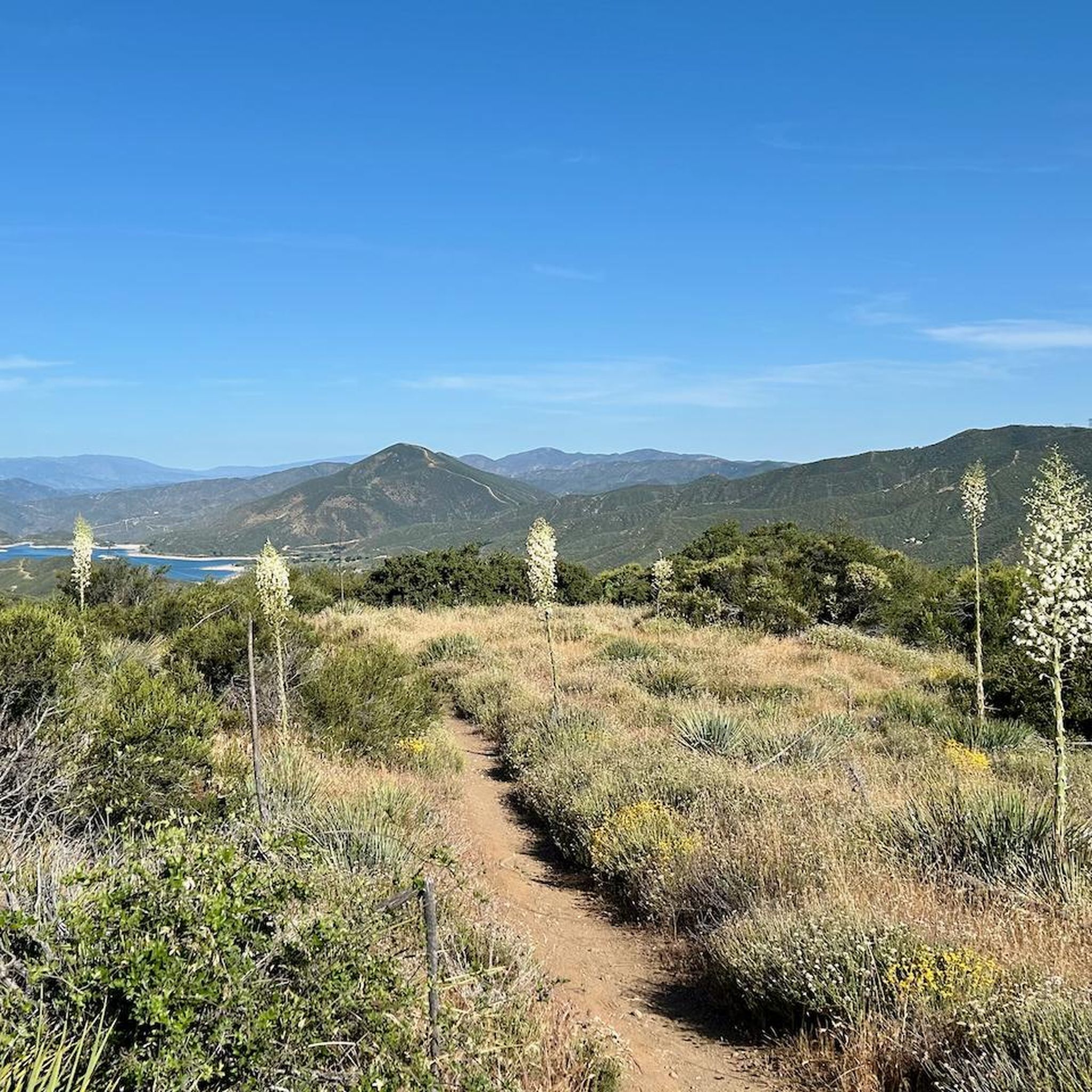
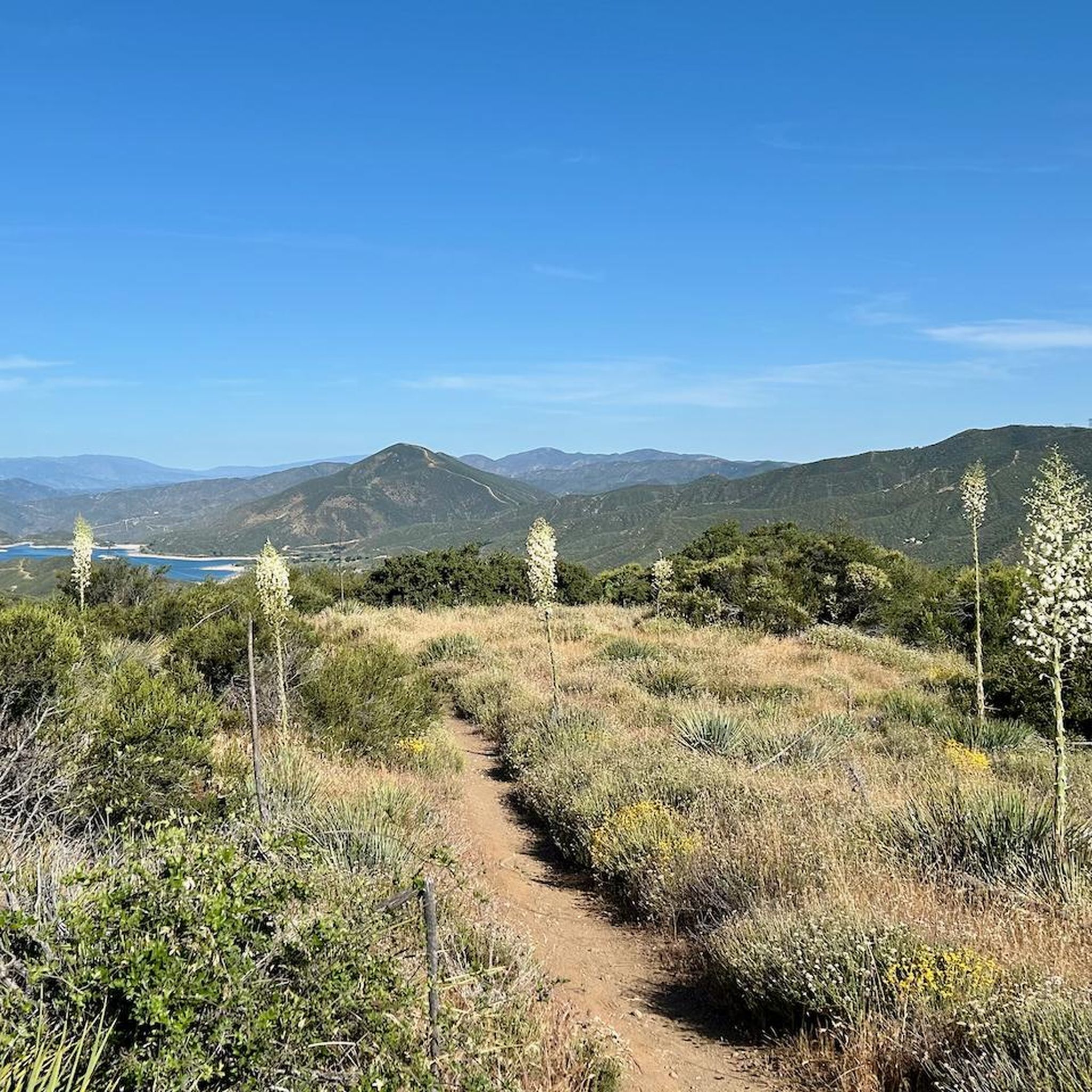
Jogging around Leona Valley offers diverse terrain where the Sierra Pelona Mountains meet the Mojave Desert. The region features rolling hills, canyons, and high-desert flora, with elevations ranging from approximately 2,932 to 3,800 feet. This landscape provides both challenging inclines and more gradual paths for runners. Oak woodlands on north-facing slopes offer cooler, shaded environments, contrasting with drier, exposed south-facing areas.
Best jogging routes around Leona Valley
- The most popular jogging route is Una Lake loop from Ave S &…
Last updated: June 24, 2026
6
runners
7.06km
00:44
60m
60m
Moderate run. Good fitness required. Mostly paved surfaces. Suitable for all skill levels.
5
runners
6.43km
00:40
40m
40m
Moderate run. Good fitness required. Mostly paved surfaces. Suitable for all skill levels.

Sign up for free
3
runners
8.37km
00:52
50m
50m
Moderate run. Good fitness required. Mostly paved surfaces. Suitable for all skill levels.
3
runners
4.36km
00:27
40m
40m
Easy run. Great for any fitness level. Mostly paved surfaces. Suitable for all skill levels.
2
runners
9.61km
01:01
120m
120m
Moderate run. Good fitness required. Mostly paved surfaces. Suitable for all skill levels.
Our route recommendations are based on thousands of hikes, rides, and runs completed by other people on komoot.
Start today with a free account
Your next adventure awaits.
Login or Signup
Popular around Leona Valley
Frequently Asked Questions
How many running routes are available in Leona Valley?
There are several excellent running routes around Leona Valley, offering diverse experiences for different fitness levels. This guide features five distinct routes, ranging from easy to moderate difficulty.
Are there any easy jogging routes for beginners in Leona Valley?
Yes, Leona Valley offers a couple of easy jogging routes perfect for beginners or those looking for a relaxed run. Consider the Running loop from Golf Course Parking, which is just under 5 km, or the Running loop from Hillview Middle School, which is approximately 4.3 km.
What kind of terrain can I expect on the running trails in Leona Valley?
Leona Valley's running trails feature a diverse topography, including rolling hills, canyons, and high-desert flora. You'll encounter varied elevations and unique vegetation like scrub oak and chamise. Some north-facing slopes even offer cooler, shaded oak woodlands, while south-facing slopes are typically drier and more exposed.
Are there any longer running routes for more experienced runners?
For those seeking a longer challenge, the Una Lake loop from Ave S & Geiger Ave Park And Ride is a moderate 9.6 km route. Other moderate options include the Running loop from Rancho Vista (7 km) and the Running loop from Rancho Vista Park (6.4 km).
What natural features or landmarks can I see along the jogging paths?
Leona Valley's unique landscape, influenced by the San Andreas Fault, offers isolated knolls and exposed rocks. You can also access sections of the iconic Pacific Crest Trail. Notable points of interest include the Lake Hughes Rd - PCT Trailhead & water cache and the Pacific Crest Trail Trailhead – San Francisquito Canyon Road. The region's high-desert flora, like scrub oak and monkeyflower, also provides scenic beauty.
Are there any circular running routes in Leona Valley?
Yes, all the running routes featured in this guide are circular loops, making them convenient for starting and ending at the same point. Examples include the Running loop from Golf Course Parking and the Una Lake loop from Ave S & Geiger Ave Park And Ride.
What is the best time of year to go jogging in Leona Valley?
Leona Valley offers pleasant jogging conditions for much of the year. Spring and fall generally provide the most comfortable temperatures. Summers can be hot due to the high-desert climate, so early morning or late evening runs are advisable. Winters are typically mild, making it possible to run year-round, though some higher elevations might experience cooler conditions.
Are there any running routes that offer shaded sections?
While much of Leona Valley has a high-desert environment, you can find cooler, shaded running environments on the north-facing slopes, which feature lush oak woodlands. When planning your run, consider routes that traverse varied terrain to take advantage of these natural shaded areas.
Where can I find information about local parks with running facilities?
For information on local parks in Los Angeles County that may offer fitness par courses or dedicated running tracks, you can visit the official Los Angeles County Parks website: lacounty.gov. Nearby Palmdale also has Heritage Park with well-maintained paths.
What do other runners enjoy most about jogging in Leona Valley?
Runners often praise Leona Valley for its diverse and appealing landscape, which provides a variety of experiences from challenging inclines to more gradual paths. The access to sections of the Pacific Crest Trail and the unique high-desert flora are frequently highlighted as key attractions for outdoor enthusiasts.
Most popular routes around Leona Valley
Most popular attractions around Leona Valley

Get inspired with the komoot mobile app


Explore more
Browse the best Running Trails & Routes in other regions.
