The best walks and hikes around East Bakersfield
7
hikers
7
hikes
Hiking around East Bakersfield offers diverse outdoor experiences, characterized by the Kern River, bluffs, and expansive parklands. The region features varied terrain, from paved urban paths along the river to more challenging hilly trails and natural preserves. Hikers can explore areas with panoramic views, green spaces, and diverse ecosystems, including grasslands and wetlands. This landscape provides opportunities for both relaxed strolls and more strenuous day hikes.
Best hiking trails around East Bakersfield
- The most popular hiking route is Hart Park…
Last updated: May 27, 2026
2
hikers
7.85km
02:13
170m
160m
The Hart Park Big Loop offers a moderate hiking experience, guiding you through diverse scrub habitats and local foothills. You will gain 568 feet (173 metres) as the trail winds…
2
hikers
5.31km
01:27
90m
80m
Embark on the Panorama Park Loop for an easy hike that offers refreshing views and a straightforward path. This 3.3-mile (5.3 km) route, with a gentle 286 feet (87 metres)…

Sign up for free
10.0km
02:31
10m
10m
Embark on a moderate hike along the Kern River Parkway Trail, a 6.2 miles (10.0 km) route that offers a gentle elevation gain of just 29 feet (9 metres). This…
2.31km
00:35
0m
0m
Embark on an easy hike along the Kern River Parkway Bike Trail, a gentle 1.4-mile (2.3 km) route that takes about 34 minutes to complete. You will experience a minimal…
125km
31:56
400m
430m
Embark on the Kern River Parkway Trail, a challenging hiking route stretching 77.8 miles (125.2 km) with a total elevation gain of 1304 feet (397 metres). This difficult journey typically…
Get access to more routes and recommendations from other explorers.
Sign up for free
Already have an account?
Our route recommendations are based on thousands of hikes, rides, and runs completed by other people on komoot.
Start today with a free account
Your next adventure awaits.
Login or Signup
Popular around East Bakersfield

Tips from the Community

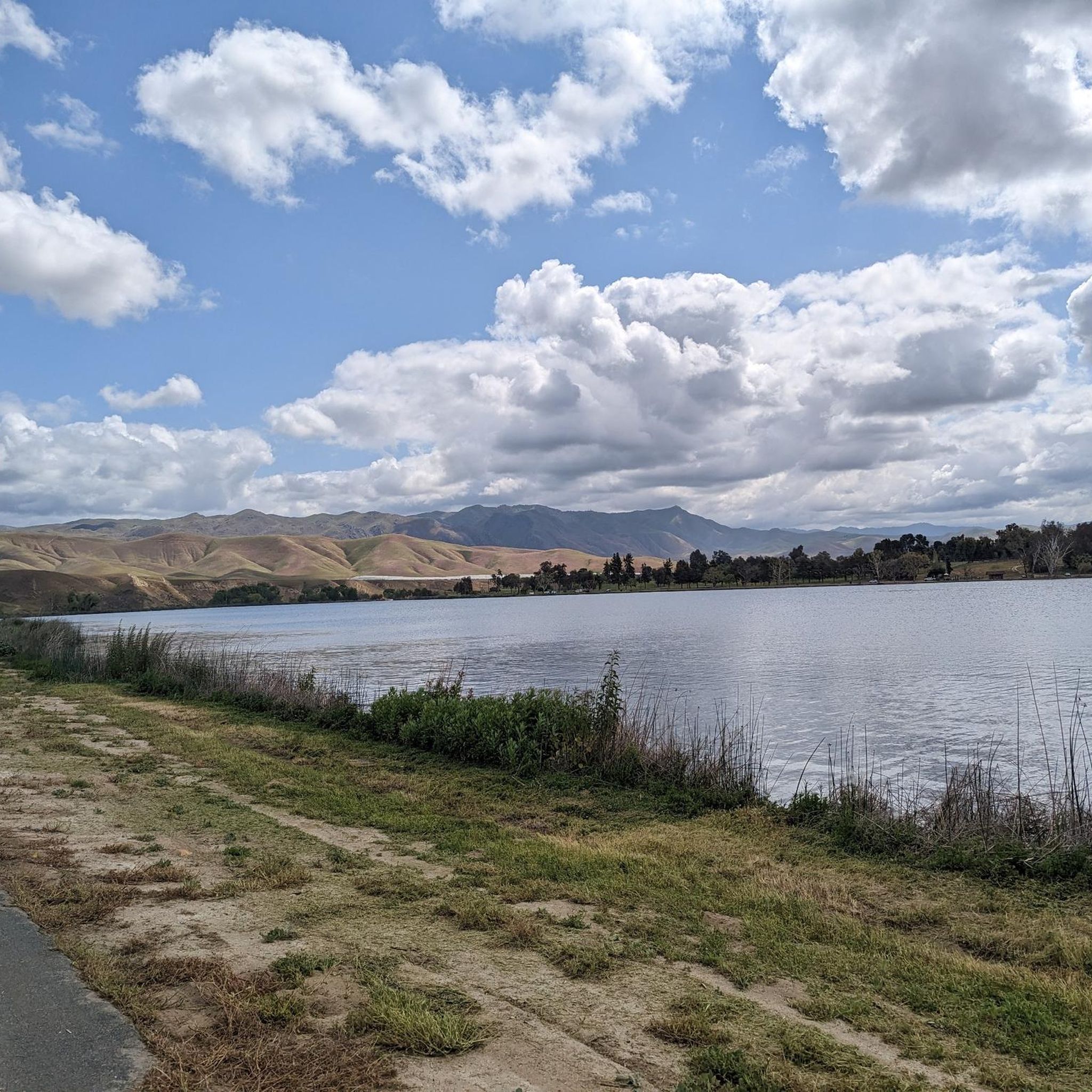
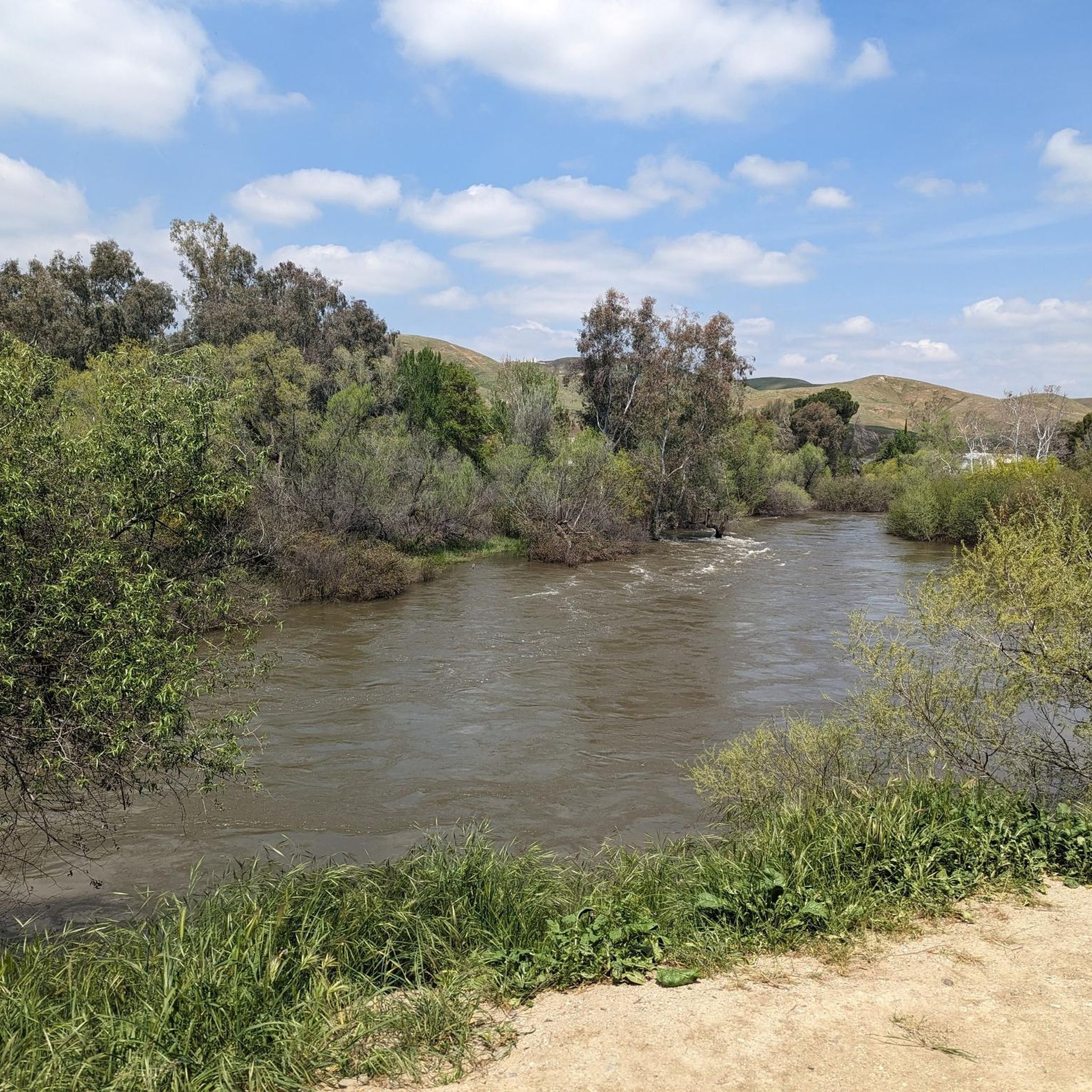
This urban park is well-maintained, with several walking trails, benches, drinking fountains, and plenty of green space. It's a great place to picnic, hike, or trek down the hill to enjoy the Kern River. There are spectacular views of the city, mountains, and oilfields, especially on a clear day.
0
0

This 32-acre park is home to an amphitheater, two ponds, trails, fountains, picnic areas, BBQs, and more. It's a great spot to bring the family whether you stay for the day or are just passing through.
0
0
Frequently Asked Questions
What types of hiking trails can I find around East Bakersfield?
East Bakersfield offers a diverse range of hiking experiences. You'll find everything from urban strolls along the Kern River Parkway Trail, which is mostly paved and suitable for walking and biking, to more challenging mountain paths in areas like Hart Memorial Park. The region also features trails with panoramic views, such as those at Panorama Bluffs, and opportunities for longer, more rugged treks.
Are there easy or family-friendly hiking options in East Bakersfield?
Yes, East Bakersfield has several easy and family-friendly options. The Panorama Park Loop is an easy 5.3 km route, perfect for a relaxed outing with scenic views. Hart Memorial Park also offers trails that meander around a lake and through green parklands, providing a more relaxed experience suitable for families. For a shorter, very accessible option, consider the Kern River Parkway Bike Trail.
Where can I find trails with the best views in East Bakersfield?
For breathtaking views, head to Panorama Bluffs. The Panorama Park Loop offers picturesque vistas of the Kern River and, on clear days, distant snowy mountains. Hart Memorial Park also provides beautiful panoramic views of the landscape from its higher cliffs.
Are there any challenging hikes near East Bakersfield?
For those seeking a more demanding experience, the region offers some challenging options. The full Kern River Parkway Trail, spanning over 125 km, presents a difficult, long-distance challenge. Further afield, the Kern Canyon Trail is an invigorating 10-mile trek with moderate challenges and rewarding panoramic views, while the Mill Creek Trail extends 15.5 miles with substantial elevation gain.
Can I hike with my dog in East Bakersfield?
Many trails in and around East Bakersfield are dog-friendly. The Mill Creek Trail is noted as a dog-friendly option with partial shade and creek crossings. Additionally, Tehachapi Mountain Park, a short drive away, offers excellent dog-friendly trails like the 4-mile Tehachapi Mountain Trail.
Are there any circular hiking routes available?
Yes, circular routes are available for convenient hiking. The Hart Park Big Loop is a moderate 7.8 km circular trail within Hart Memorial Park. Another great option is the Panorama Park Loop, an easy 5.3 km circular route offering scenic views.
What is the best time of year to go hiking in East Bakersfield?
Spring is an exceptionally beautiful time to hike in East Bakersfield, as the slopes and trails, particularly at Wind Wolves Preserve and along the Kern Canyon Trail, explode with wildflowers like poppies, lupine, and goldfields. The weather is also generally milder, making for comfortable hiking conditions.
Are there opportunities for wildlife spotting on the trails?
Absolutely. The Kern River Parkway Trail offers rich natural habitats along the river, providing opportunities to observe local wildlife. The Wind Wolves Preserve, although south of Bakersfield, is an expansive area where you can observe native flora and fauna, including grazing tule elk. The Mill Creek Trail is also known for opportunities to see wildlife.
Are there any waterfalls or hot springs accessible from East Bakersfield?
Yes, within a 50-mile radius of East Bakersfield, you can find several natural attractions. Waterfall hiking trails include Cholollo Falls, Salmon Creek Falls, and South Creek Falls, offering moderate to difficult options. Additionally, various hot springs like Warm Spring, Democrat Hot Springs, and Remington Hot Springs are accessible for a unique natural experience. Wind Wolves Preserve also features a 15-foot limestone waterfall.
What are some notable natural attractions or points of interest near the hiking trails?
Beyond the trails themselves, you can explore several natural attractions. Hart Memorial Park features a lake and green parklands. The Panorama Bluffs offer stunning views of the Kern River. A short drive away, the Sequoia National Forest provides access to the popular Trail of 100 Giants, featuring enormous Sequoia trees. For a significant conservation area, consider the Wind Wolves Preserve, which boasts diverse landscapes and is home to tule elk. You can learn more about the preserve at Visit California.
What is the community's overall rating for hiking in East Bakersfield?
The komoot community rates hiking in East Bakersfield highly, with an average score of 4.0 stars. Hikers often praise the diverse landscapes, from urban river paths to scenic bluffs, and the accessibility of trails for various skill levels.
Most popular routes around East Bakersfield

Get inspired with the komoot mobile app


Explore more
Browse the best Hikes in other regions.
