The best running trails in Beaverhead-Deerlodge National Forest
25
runners
3
runs
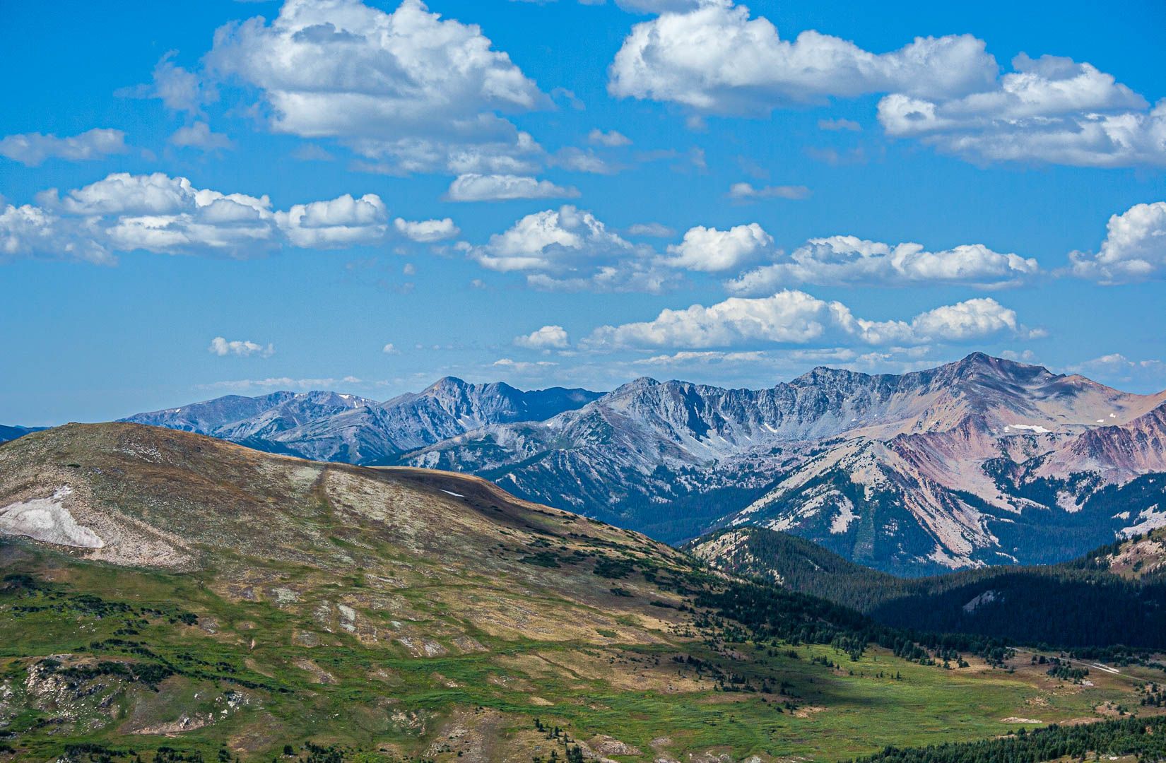
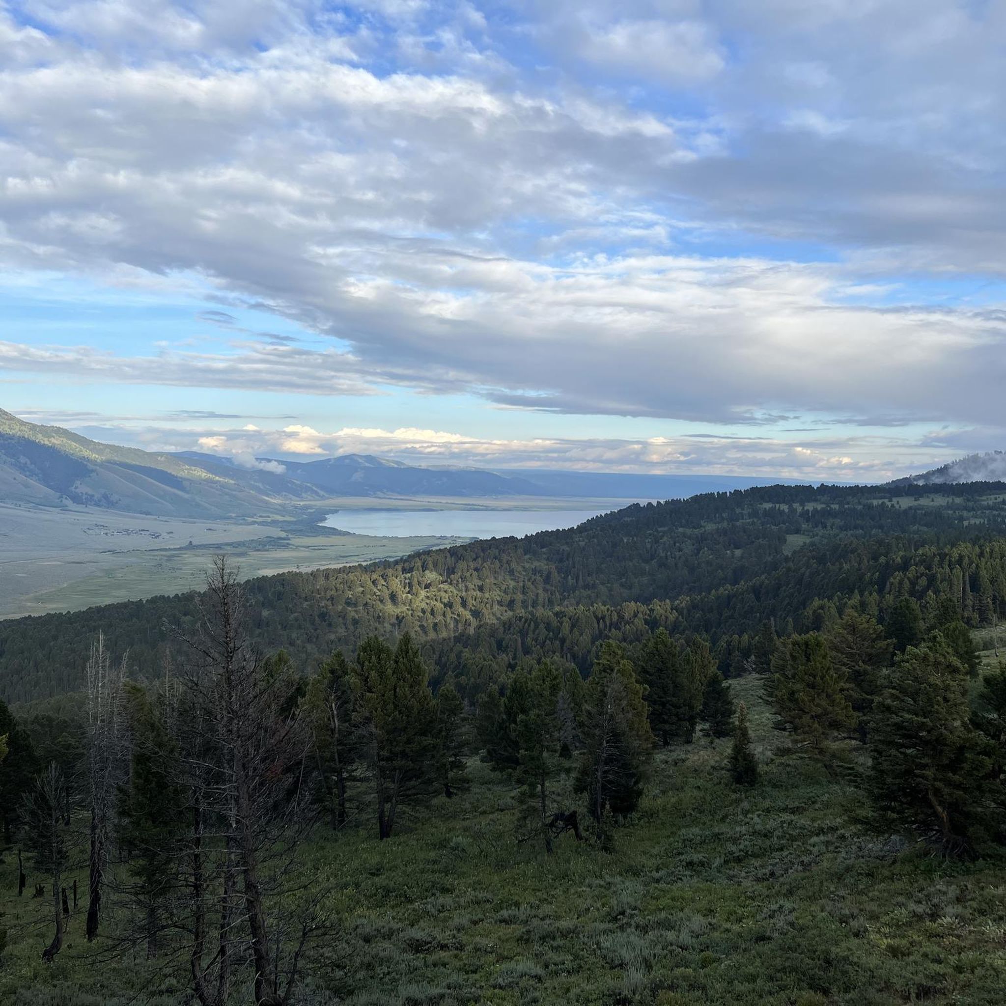
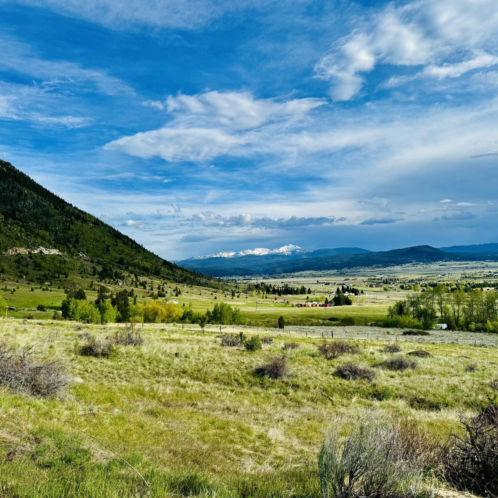
Jogging in Beaverhead-Deerlodge National Forest offers access to a vast and diverse landscape, making it an exceptional destination for runners. The region features a variety of terrain, including high alpine peaks, broad valleys, arid grasslands, and dense evergreen forests. Runners can explore over a dozen mountain ranges, numerous alpine lakes, and rivers, with elevations ranging significantly. The forest also straddles the Continental Divide, providing opportunities for long-distance running.
Best jogging routes in Beaverhead-Deerlodge National Forest
- The most popular jogging route…
Last updated: November 6, 2026
3
runners
16.7km
01:45
120m
120m
Hard run. Very good fitness required. Mostly paved surfaces.
3
runners
6.82km
00:46
150m
150m
Moderate run. Good fitness required. Mostly paved surfaces.

2
runners
10.4km
01:10
250m
250m
Moderate run. Good fitness required. Mostly paved surfaces.
8
runners
8.71km
00:59
120m
120m
Moderate run. Good fitness required. Mostly paved surfaces.
5
runners
9.44km
00:59
90m
90m
Moderate run. Good fitness required. Mostly paved surfaces.
Our route recommendations are based on thousands of hikes, rides, and runs completed by other people on komoot.
Start today with a free account
Your next adventure awaits.
Other adventures in Beaverhead-Deerlodge National Forest

Tips from the Community

Ousel Falls Trail in Big Sky offers a short, scenic hike along the South and West Forks of the Gallatin River, crossing three bridges before reaching the stunning waterfall. At the trail split, hikers can choose from four paths: the South Fork Overlook, the top of the falls via a natural footpath, the base of the falls with a picnic area, or the rocky Ousel Falls Overlook. This popular trail is best hiked between May and October, and dogs are welcome. Do note that roads to the trailhead may be seasonally closed.
0
0

Easy well-maintained hike to the falls from the parking lot. If you want a little more interesting of a hike, make sure you don't miss the "connector", which adds some more climbing and descending, but it takes you closer to the Gallatin River, and there is another beautiful small stream that you cross along the way. Built up. nicely with boardwalks that would be fun on a mountain bike.
0
0

Ousel Falls is a popular waterfall you can enjoy after an easy hike in the south of Big Sky. The trail and the waterfall offer a quiet moment into the forest, and if you are lucky, you can see ouzel birds diving into the river.
1
0
Frequently Asked Questions
How many running routes can I find in Beaverhead-Deerlodge National Forest?
While the Beaverhead-Deerlodge National Forest is vast, offering over 1,500 miles of trails, our curated collection currently features 3 dedicated running routes. These routes are designed to showcase some of the best running experiences in the area, ranging from moderate loops to scenic trails.
Are there any family-friendly running trails in the Beaverhead-Deerlodge National Forest?
Yes, for a pleasant family run, consider the Ousel Falls Trail loop from Big Sky. This moderate 7 km route offers beautiful scenery and is generally well-suited for families looking to enjoy the outdoors together.
Can I find running routes that feature waterfalls in the region?
Absolutely! The Ousel Falls Trail loop from Big Sky is a fantastic option that leads you to the picturesque Ousel Falls, providing a refreshing highlight during your run.
Are there any circular running routes available?
Yes, several routes offer the convenience of a circular path. You can explore the Lake Levinsky loop from Last Chair Lodge, a moderate 6.8 km circuit, or the slightly longer Lake Levinsky loop from Lake Levinsky, which covers 10.4 km. Both provide scenic loops around the lake.
What kind of wildlife might I encounter while running in Beaverhead-Deerlodge National Forest?
The diverse ecosystems of Beaverhead-Deerlodge National Forest support abundant wildlife. While running, you might spot elk, deer, and various bird species. More elusive animals like grizzly bears, cougars, and lynxes also inhabit the forest, so it's always wise to be aware of your surroundings and practice wildlife safety.
Are there any interesting historical sites or landmarks to see along the running routes?
While our specific running routes don't directly pass through major historical sites, the broader Beaverhead-Deerlodge National Forest is rich in history. You can find points of interest like the Abandoned Mine Ruins in Beaverhead-Deerlodge National Forest or the German Gulch Gravel Summit nearby, offering glimpses into the region's past. The forest also straddles the Continental Divide, a historically significant path for explorers like Lewis and Clark.
What is the best time of year for running in Beaverhead-Deerlodge National Forest?
The best time for running generally spans from late spring through early autumn (May to October). During these months, trails are typically free of snow, and the weather is more favorable. Summer offers lush landscapes, while fall brings stunning foliage. Always check local conditions and weather forecasts before heading out, especially at higher elevations.
Are there options for shorter or longer running distances?
Yes, you can find routes catering to different distances. For a shorter, moderate run, the Running loop from Island Park is about 6.8 km. If you're looking for a longer challenge, the Running loop from Big Sky extends to approximately 9.4 km, offering more mileage to explore.
What are the typical difficulty levels of running routes in this area?
The running routes in our collection for Beaverhead-Deerlodge National Forest are predominantly rated as moderate. This means they often involve some elevation changes and varied terrain, suitable for runners with a reasonable level of fitness. While there are no 'easy' or 'difficult' routes listed in this guide, the vast forest offers trails of all difficulties for those willing to explore further.
What do other runners enjoy most about jogging in Beaverhead-Deerlodge National Forest?
Runners frequently praise the diverse and captivating natural scenery, from high alpine peaks and serene lakes to expansive valleys and dense forests. The opportunity to experience the vastness of Montana's largest national forest, with its extensive trail system and potential for wildlife sightings, makes for a truly rewarding outdoor running experience.
Most popular routes in Beaverhead-Deerlodge National Forest
Most popular attractions in Beaverhead-Deerlodge National Forest

Get inspired with the komoot mobile app


Explore more
Browse the best Running Trails & Routes in other regions.
