The best walks and hikes in Cabo Rojo Municipio
4.3
(5)
92
hikers
6
hikes
Hiking in Cabo Rojo Municipio offers diverse landscapes, from coastal beauty to subtropical dry forests and unique geological features. The region is characterized by dramatic limestone cliffs, historic salt flats, and significant wildlife refuges. Its varied terrain provides opportunities to explore mangrove forests, observe local flora and fauna, and discover ancient rock formations.
Best hiking trails in Cabo Rojo Municipio
- The most popular hiking route is Hiking loop from Cabo Rojo National Wildlife Refuge, a 3.3 miles (5.4 km)…
Last updated: July 6, 2026
5.0
(2)
57
hikers
5.44km
01:25
40m
40m
Easy hike. Great for any fitness level. Easily-accessible paths. Suitable for all skill levels.
17
hikers
5.91km
01:32
30m
30m
Easy hike. Great for any fitness level. Easily-accessible paths. Suitable for all skill levels.

Sign up for free
5.0
(2)
10
hikers
6.44km
01:42
60m
60m
Easy hike. Great for any fitness level. Easily-accessible paths. Suitable for all skill levels.
2.05km
00:31
10m
10m
Easy hike. Great for any fitness level. Easily-accessible paths. Suitable for all skill levels.
3.0
(1)
3
hikers
10.4km
02:43
70m
70m
Moderate hike. Good fitness required. Easily-accessible paths. Suitable for all skill levels.
Our route recommendations are based on thousands of hikes, rides, and runs completed by other people on komoot.
Start today with a free account
Your next adventure awaits.
Login or Signup
Tips from the Community

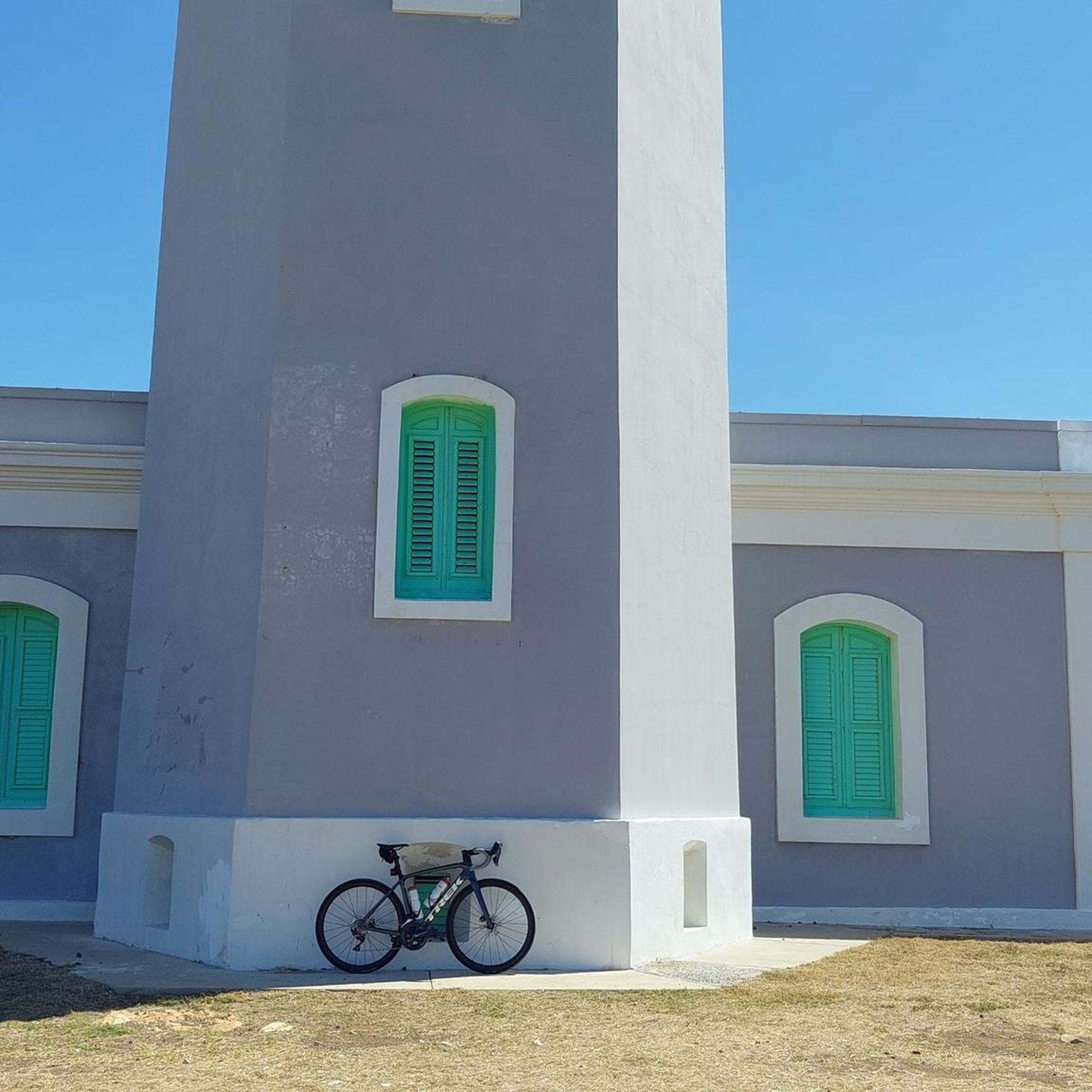
The last route to get to the lighthouse is for minimal gravel cycling, but today, when it was sunny and the ground was dry, you can reach the top in a controlled way.
0
0

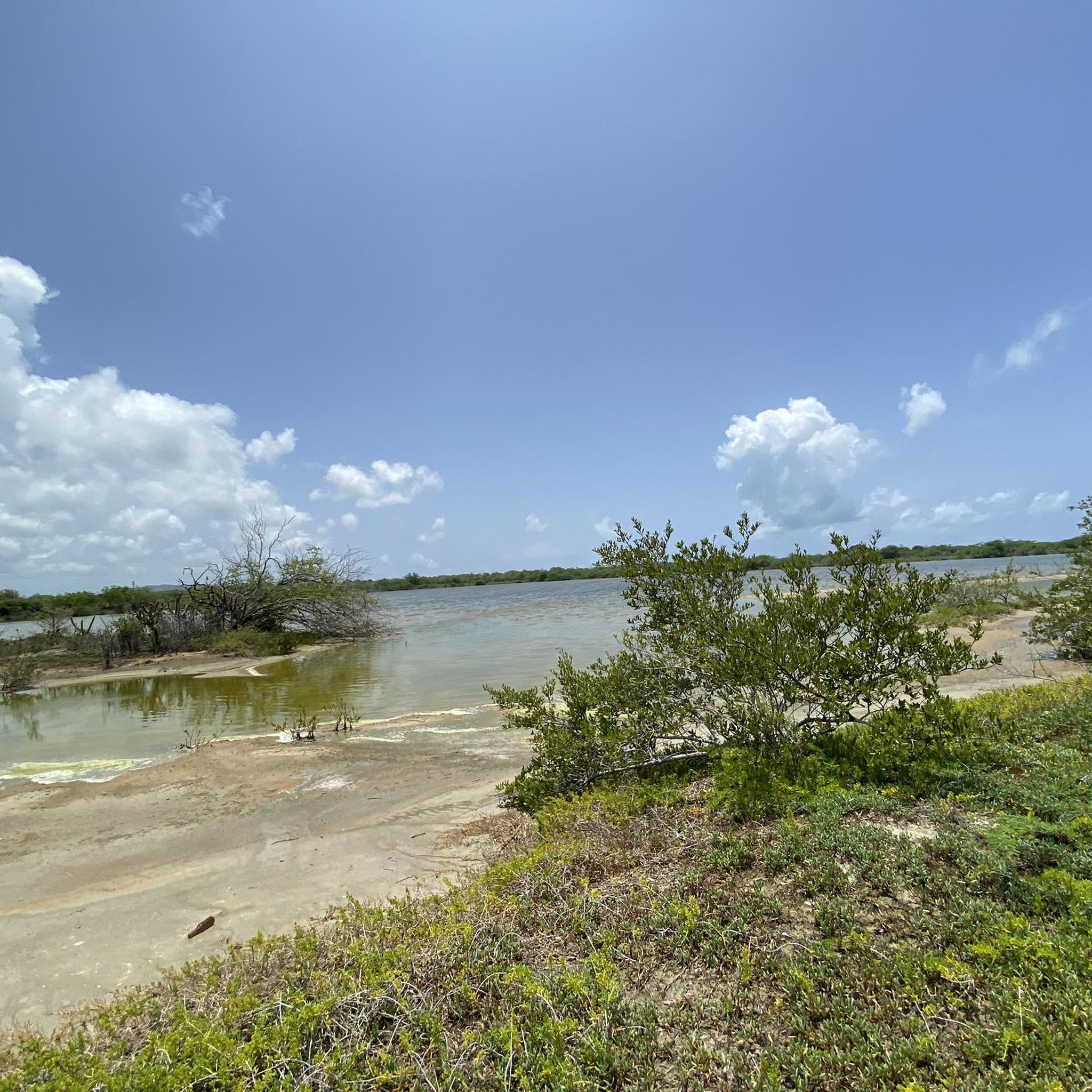
Great hideaway - mangroves with lots of small crabs
0
0
Pictures Stonecliff in the blue ocean
0
0

This trail has a total distance of approximately 7km. It has everything, slopes, roots, stones, sharp bends, runs adjacent to the beach ... It is a beautiful and fun place. Bring water, since there is nothing nearby. The Rock n 'Beer business has horrible customer service and the variety is minimal.
2
0
Frequently Asked Questions
What kind of terrain can I expect on hiking trails in Cabo Rojo Municipio?
Hiking in Cabo Rojo Municipio offers a diverse range of landscapes. You'll find coastal paths with dramatic white and red limestone cliffs, trails through subtropical dry forests, and unique hypersaline lagoons at the historic salt flats. The region also features mangrove forests and ancient rock formations, providing varied scenery for your hike.
Are there any easy hiking trails suitable for beginners or casual walkers?
Yes, Cabo Rojo Municipio has several easy trails. For instance, the Hiking loop from Cabo Rojo National Wildlife Refuge is an easy 3.3-mile route that explores diverse ecosystems. Another accessible option is the Cerro Guaniquilla loop from Buye Beach, an easy 3.7-mile path leading through meadows to secluded beach spots.
What are some notable landmarks or natural features to see while hiking?
Hikers can explore several significant landmarks. The historic Faro Los Morrillos (Los Morrillos Lighthouse) offers breathtaking panoramic views of the Caribbean Sea and dramatic cliffs. The Las Salinas (Salt Flats) are a unique ecological wonder with iconic pink and red waters, and an observation tower. You can also discover El Puente Natural (Natural Bridge), a picturesque rock arch accessible from the lighthouse area.
Are there any loop trails available in Cabo Rojo Municipio?
Yes, loop trails are a popular option. The Cerro Guaniquilla loop from Reserva Natural de Punta Guaniquilla is a moderate 6.5-mile trail that takes you through the Punta Guaniquilla Nature Reserve, offering scenic overlooks and ancient rock formations. Another option is the Cerro Guaniquilla loop from El Fuego y Las Piedras, an easy 4.2-mile route.
What is the best time of year to go hiking in Cabo Rojo Municipio?
Cabo Rojo Municipio is generally pleasant for hiking year-round. However, the dry season, typically from December to April, offers cooler temperatures and less rainfall, making it ideal for outdoor activities. Always check local weather forecasts before heading out.
Can I bring my dog on the hiking trails?
While many natural areas in Puerto Rico are dog-friendly, specific regulations can vary by reserve or park. For areas like the Cabo Rojo National Wildlife Refuge, it's advisable to check their official guidelines regarding pets. Generally, if allowed, dogs should be kept on a leash to protect local wildlife and ensure a pleasant experience for all hikers.
Are there opportunities to see wildlife on the trails?
Absolutely. The Cabo Rojo National Wildlife Refuge is a crucial stopover for migratory birds in the Caribbean, offering excellent birdwatching opportunities. The region's diverse ecosystems, including mangrove and dry forests, are home to various local flora and fauna, and you might even spot endangered species. The salt flats also attract unique birdlife.
What do other hikers enjoy most about hiking in Cabo Rojo Municipio?
The area is highly rated by the komoot community, with an average score of 4.3 stars. Reviewers often praise the stunning coastal scenery, the unique geological features like the salt flats and cliffs, and the rich biodiversity found across its dry forests and wetlands. Many appreciate the less crowded atmosphere compared to other destinations.
Are there any challenging hiking trails in the region?
While most trails are easy to moderate, some routes offer longer distances or more varied terrain. The Cerro Guaniquilla loop from Reserva Natural de Punta Guaniquilla, at 6.5 miles, is considered moderate due to its length, providing a good option for those seeking a longer excursion.
Where can I find parking for the hiking trails?
Parking is generally available at popular trailheads and attractions. For example, there is parking near the Faro Los Morrillos (Los Morrillos Lighthouse), which serves as a starting point for several coastal hikes. The Cabo Rojo National Wildlife Refuge and the Salt Flats Interpretive Center also typically offer designated parking areas for visitors.
Are there any family-friendly hiking options?
Many of the easy trails are suitable for families. The paths around the Cabo Rojo National Wildlife Refuge and the Salt Flats are generally flat and well-maintained, making them great for walks with children. The short Hiking loop from Roca Ola, at 1.3 miles, is another easy option for families.
Most popular routes in Cabo Rojo Municipio

Get inspired with the komoot mobile app


Explore more
Browse the best Hikes in other regions.
