The best cycling routes in Área De Conservación Riogrande Ii
19
riders
2
rides
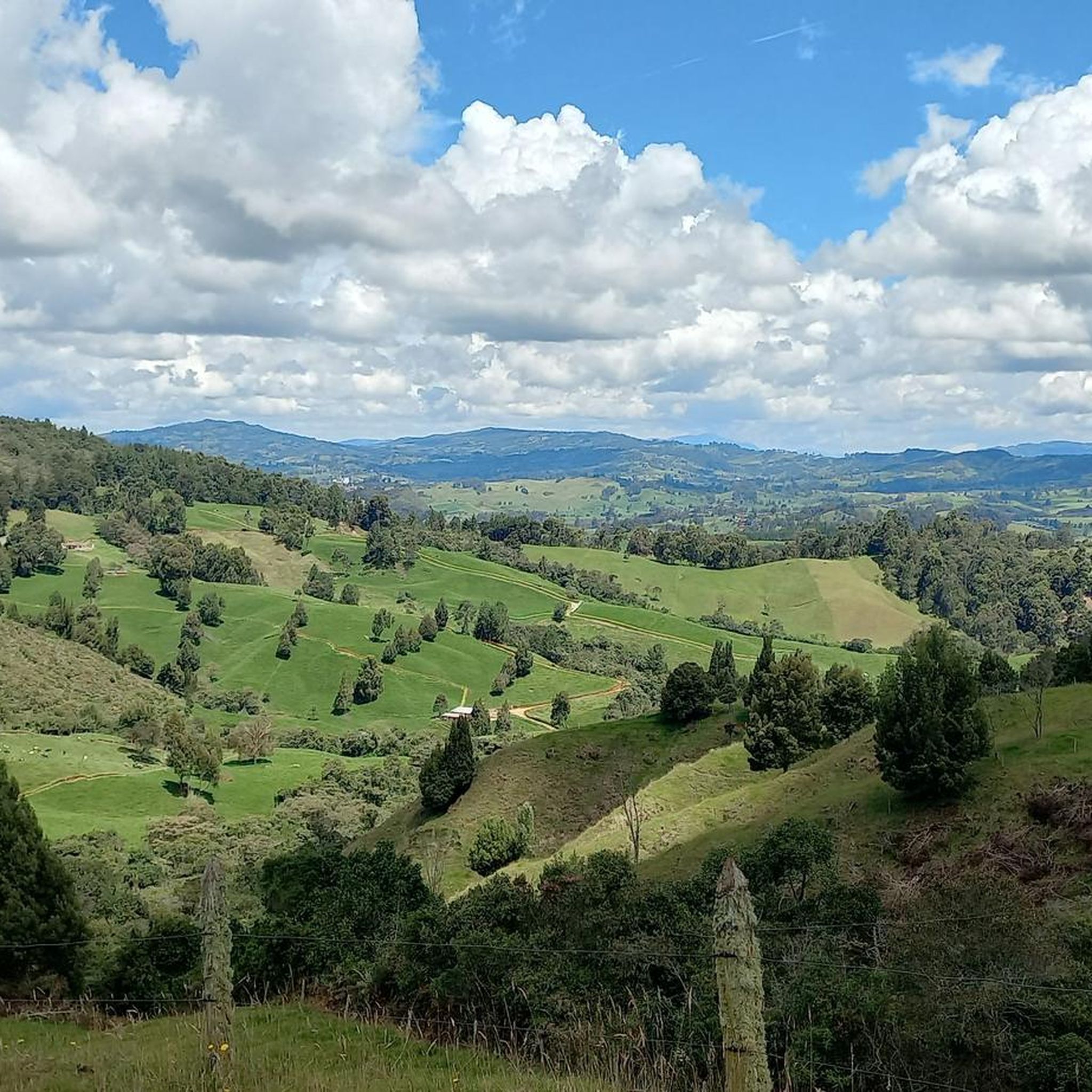
Touring cycling in Área De Conservación Riogrande Ii is characterized by its tranquil natural landscapes, significant water features, and rural roads. The region features the Riogrande II reservoir and the Río Grande river, contributing to a diverse hydrological environment. Surrounding areas offer extensive pine forests and undulating terrain, with elevations reaching approximately 2,400 meters above sea level in some parts of the broader Antioquia region. The paths often traverse picturesque rural and agricultural scenery, providing a connection with nature.
Best…
Last updated: July 9, 2026
4
riders
19.1km
01:29
500m
500m
Hard bike ride. Very good fitness required. Mostly paved surfaces. Suitable for all skill levels.
5
riders
29.2km
02:24
620m
620m
Hard bike ride. Very good fitness required. Mostly paved surfaces. Suitable for all skill levels.

Sign up for free
4
riders
31.5km
02:33
520m
520m
Hard bike ride. Very good fitness required. Mostly paved surfaces. Suitable for all skill levels.
4
riders
33.4km
02:27
640m
640m
Hard bike ride. Very good fitness required. Mostly paved surfaces. Suitable for all skill levels.
2
riders
39.6km
02:55
850m
850m
Hard bike ride. Very good fitness required. Mostly paved surfaces. Suitable for all skill levels.
Our route recommendations are based on thousands of hikes, rides, and runs completed by other people on komoot.
Start today with a free account
Your next adventure awaits.
Login or Signup
Popular around Área De Conservación Riogrande Ii
Tips from the Community

Great café with wifi, delicious food/drink and SÚPER friendly staff!
0
0

When you want to return, it is good to look for transportation by group. which could be more comfortable than coming on the normal routes ... and they can reach agreements with the drivers to leave them closer to a common place there are good restaurants around the park, but you can also find trout or interesting places in the peripheries.
0
0
Frequently Asked Questions
What is the typical difficulty level for touring cycling routes in Área De Conservación Riogrande II?
The touring cycling routes in Área De Conservación Riogrande II are generally considered difficult. They often feature significant elevation gains and cover undulating terrain, making them suitable for experienced cyclists looking for a challenge. For example, the Bike loop from Entrerríos involves nearly 500 meters of elevation gain over 19.1 km.
What kind of terrain will I encounter on touring cycling routes in this region?
You can expect a mix of rural roads, often with smooth tarmac in the broader Antioquia region, and undulating terrain. The routes traverse picturesque rural and agricultural scenery, offering a connection with nature. Some areas feature challenging climbs, with elevations reaching up to 2,400 meters above sea level in the surrounding department.
Are there any circular touring cycling routes in Área De Conservación Riogrande II?
Yes, all the featured touring cycling routes in this guide are circular loops. This allows you to start and end your ride in the same location, such as the Idilios loop from San Pedro de los Milagros or the Alto Amoladora – Idilios loop from San Pedro de los Milagros, both starting from San Pedro de los Milagros.
What natural features can I expect to see while touring cycling here?
The region is characterized by its tranquil natural landscapes and significant water features. You will encounter the prominent Riogrande II reservoir and the Río Grande river, which is the most important river in Northern Antioquia. The surrounding areas also boast extensive pine forests and serene natural settings, providing beautiful scenery throughout your ride.
Are there any specific landmarks or points of interest along the touring cycling routes?
While specific landmarks are not detailed for every route, the region itself is known for its rural charm and agricultural scenery, often referred to as the 'ruta de la leche' (dairy route). Routes like the Alto Amoladora – Idilios loop from San Pedro de los Milagros feature points like Alto Amoladora, offering views of the surrounding countryside and the reservoir.
What is the best time of year to go touring cycling in Área De Conservación Riogrande II?
The region's climate is generally favorable for outdoor activities. While specific seasonal recommendations are not provided, the 'smooth tarmac' and diverse topography suggest that cycling can be enjoyed throughout much of the year. It's always advisable to check local weather conditions before planning your trip, especially considering the elevations can reach up to 2,400 meters above sea level.
Can I find parking near the touring cycling trailheads?
While specific parking facilities are not detailed, the routes often start from or pass through municipalities like Entrerríos and San Pedro de los Milagros. In such rural settings, you can typically find parking options within or on the outskirts of these towns, close to the starting points of the loops.
Are there options for public transport to reach the touring cycling routes?
The region is located in the Antioquia department, and municipalities like San Pedro de los Milagros are accessible by public transport from larger cities. While direct public transport to specific trailheads might be limited, reaching the starting towns of the routes, such as San Pedro de los Milagros, is generally feasible via local bus services.
How long do the touring cycling routes typically take to complete?
The duration of the routes varies depending on their length and elevation. For instance, the Bike loop from Entrerríos, at 19.1 km, takes approximately 1 hour 29 minutes. Longer routes like the Alto Amoladora – Idilios loop from San Pedro de los Milagros, which is 29.5 km, can take around 2 hours 40 minutes to complete.
Are there any cafes or places to eat near the touring cycling routes?
As the routes often pass through or start from rural towns and municipalities like Entrerríos and San Pedro de los Milagros, you can expect to find local cafes, restaurants, or small shops in these areas where you can refuel and rest during or after your ride. The region's 'dairy route' character also suggests local produce and eateries.
What is the longest touring cycling route available in this guide?
The longest touring cycling route featured in this guide is the Santa Rosa Sign loop from Santa Rosa de Osos, covering 39.58 km with over 849 meters of elevation gain. This challenging route typically takes around 2 hours 55 minutes to complete.
Is the area suitable for family-friendly touring cycling?
Given that all featured routes are classified as 'difficult' and involve significant elevation changes, they may not be ideal for very young children or beginners. However, families with older, experienced teenage cyclists who are comfortable with challenging terrain might find some routes enjoyable. For more relaxed family cycling, it's best to seek out flatter, dedicated paths if available in the broader region.
Most popular routes in Área De Conservación Riogrande Ii

Get inspired with the komoot mobile app


Explore more
Browse the best Cycling routes in other regions.
