The best cycling routes in Santa Rosa De Osos
31
riders
5
rides
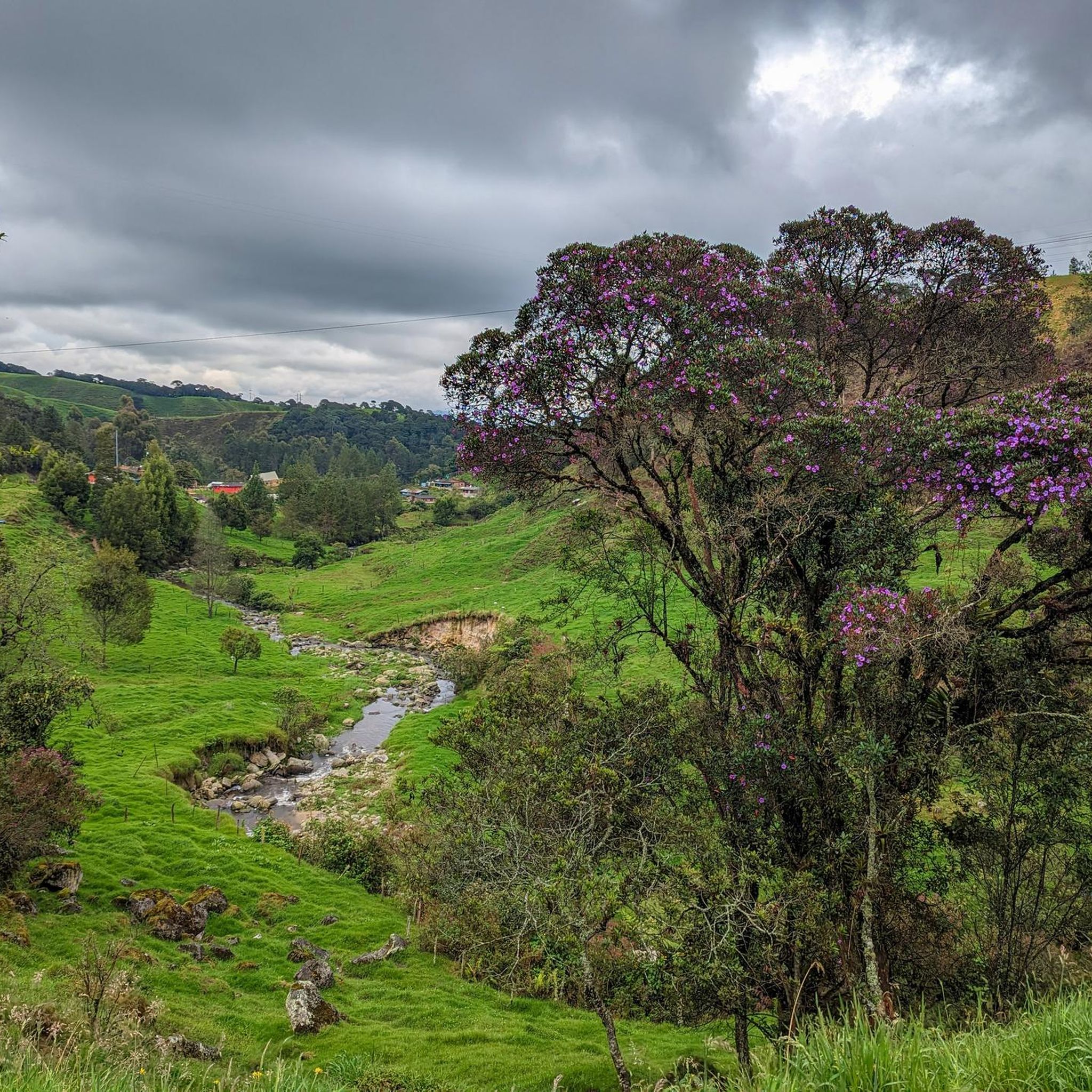
Touring cycling in Santa Rosa de Osos, located in the northern highlands of Antioquia, Colombia, offers challenging routes across an irregular plateau. The region features an average elevation of 2,550 meters, characterized by rolling hills and expansive agricultural fields. Diverse ecosystems, including humid montane forests and unique cloud forests, contribute to varied scenery. This high-altitude environment provides physically demanding yet rewarding touring cycling routes.
Best touring cycling routes in Santa Rosa de Osos
- The most popular touring cycling route is…
Last updated: July 7, 2026
18
riders
136km
09:21
2,370m
2,370m
Hard bike ride. Very good fitness required. Mostly paved surfaces. Suitable for all skill levels.
4
riders
19.1km
01:29
500m
500m
Hard bike ride. Very good fitness required. Mostly paved surfaces. Suitable for all skill levels.

Sign up for free
3
riders
46.2km
03:34
680m
680m
Hard bike ride. Very good fitness required. Mostly paved surfaces. Suitable for all skill levels.
2
riders
39.6km
02:55
850m
850m
Hard bike ride. Very good fitness required. Mostly paved surfaces. Suitable for all skill levels.
Our route recommendations are based on thousands of hikes, rides, and runs completed by other people on komoot.
Start today with a free account
Your next adventure awaits.
Login or Signup
Popular around Santa Rosa De Osos
Tips from the Community

The Parques del Río in Medellín is a state-of-the-art urban development project that connects the neighborhoods west and east of the Medellín River. The highways on the banks were moved underground for this purpose. The park is divided into a west side (Sector 1A) and an east side (Sector 1B), which are connected by modern pedestrian bridges. Plaza de Niebla: The so-called "Fog Plaza" provides cooling on hot days with artificial mist fountains. La Pradera: A spacious, well-kept meadow that is ideal for picnics or relaxation in the shade of over 280 newly planted trees.
0
0

Start and go, nothing is easy in life!!
0
0

beware of cars. there are too many on this route
0
1
Frequently Asked Questions
What kind of terrain and elevation can I expect when touring cycling in Santa Rosa de Osos?
Santa Rosa de Osos is situated on an irregular plateau with an average elevation of 2,550 meters, reaching up to 2,580 meters in some areas. You can expect challenging terrain characterized by rolling hills, expansive agricultural fields, and significant ascents and descents. The region is known for its demanding climbs, with many routes featuring substantial elevation gains.
Are there any long-distance touring cycling routes in Santa Rosa de Osos?
Yes, the region offers options for long-distance touring. For example, the Alto de Matasanos – First Outing loop from Universidad is a challenging 137.1 km route with over 2,300 meters of elevation gain. The broader region also supports multi-day adventures, such as the 215 km 'Porce - San Pablo - Santa Rosa - Medellín' mountain bike route, which includes challenging dirt roads and steep climbs.
What are the natural features and scenic viewpoints along the cycling routes?
Cyclists will encounter diverse natural features, including lush green mountains, open fields with grazing cattle, and varied ecosystems. A significant highlight is the unique cloud forest near Guanacas village, which is a vibrant biological reserve. You can also expect picturesque vistas of dairy and coffee farms, and some routes may feature natural elements like waterfalls, enhancing the touring experience.
What is the best time of year to go touring cycling in Santa Rosa de Osos?
Given its high altitude, Santa Rosa de Osos generally offers a cool climate, which can be a welcome relief from hotter lowlands. While specific seasonal recommendations for cycling aren't provided, the consistent cool temperatures make it suitable for cycling throughout much of the year. It's always advisable to check local weather forecasts before heading out, especially for rain, as the region includes 'very humid' forest types.
Are there any circular touring cycling routes available?
Yes, several popular touring cycling routes in Santa Rosa de Osos are loops. Examples include the challenging Alto de Matasanos – First Outing loop from Universidad, the Río Guadalupe loop from Gómez Plata, and the Santa Rosa Sign loop from Santa Rosa de Osos. These loops offer varied distances and elevation profiles, allowing you to start and end your ride in the same location.
Are the touring cycling routes in Santa Rosa de Osos suitable for families or beginners?
The touring cycling routes in Santa Rosa de Osos are generally considered challenging due to the high altitude and significant elevation gains. All routes listed in this guide are rated as 'difficult.' While the region offers beautiful scenery, the demanding terrain means that most routes are better suited for cyclists with good to very good fitness levels and experience with climbs, rather than families with young children or beginners.
What are the options for parking when accessing cycling routes?
While specific parking facilities for each route are not detailed, many touring cyclists often start their journeys from central points in towns like Santa Rosa de Osos or near universities, where parking might be available. For routes starting from smaller villages or more remote areas, roadside parking or designated areas within the community are common. It's recommended to plan your starting point and check for local parking options beforehand.
Can I bring my dog on the cycling trails in Santa Rosa de Osos?
The region's natural environment, with its rolling hills and expansive agricultural fields, is generally welcoming to outdoor activities. While there are no specific regulations mentioned regarding dogs on cycling trails, it's always best to keep your dog on a leash, especially when passing through farms or areas with livestock, and to be mindful of other trail users and local wildlife. Ensure your dog is fit enough for the challenging terrain and high altitude.
What kind of wildlife can I expect to see while cycling?
The diverse ecosystems, particularly the cloud forest in Guanacas, are home to a variety of fauna. Cyclists might spot various bird species, and if lucky, some native mammals like tigrillos (small wild cats) and guaguas (a type of rodent). The agricultural areas also feature grazing cattle, adding to the rural charm of the rides.
Are there cafes or accommodation options for cyclists in the region?
Santa Rosa de Osos and its surrounding towns are agricultural communities, and you can typically find local cafes and eateries offering refreshments. For accommodation, options range from small hotels to guesthouses in the main towns. It's advisable to book accommodation in advance, especially if you plan to stay in smaller villages along your route, to ensure cyclist-friendly amenities.
How many touring cycling routes are available in Santa Rosa de Osos?
There are 5 touring cycling routes detailed in this guide for Santa Rosa de Osos, all of which are rated as difficult. These routes showcase the challenging and scenic landscapes of the region, offering varied distances and elevation profiles for experienced cyclists.
Most popular routes in Santa Rosa De Osos

Get inspired with the komoot mobile app


Explore more
Browse the best Cycling routes in other regions.
