The best gravel rides in Robert'S Lake Regional Park
29
riders
4
rides
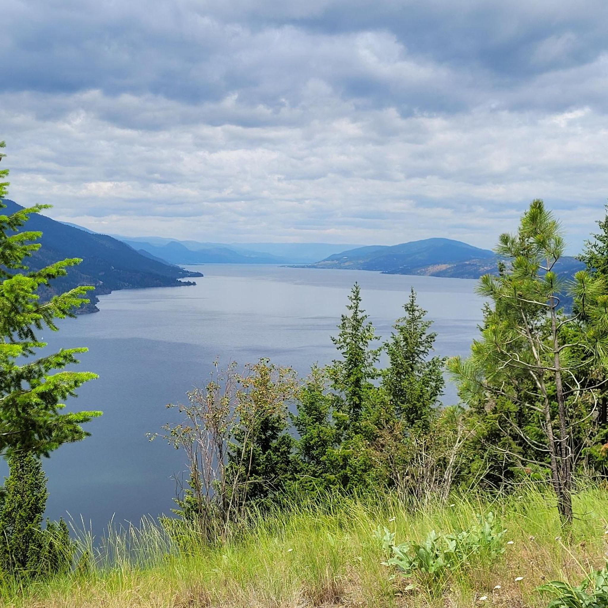
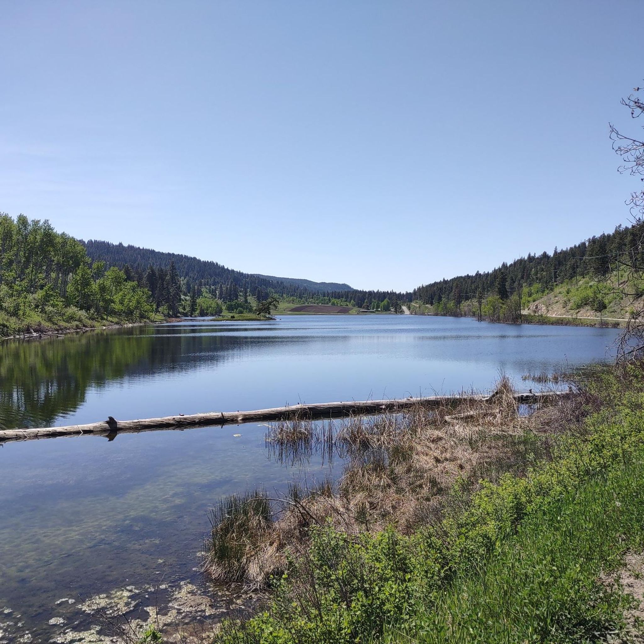
Gravel biking in Robert'S Lake Regional Park, located near Kelowna in British Columbia, offers challenging routes through diverse terrain. The region features extensive unpaved sections, including gravel paths and varied surfaces, making it suitable for experienced gravel bikers. Routes often include significant elevation changes, traversing areas with both climbs and descents. The landscape is characterized by large lakes, deep canyons, and forested hills, providing a rugged and engaging environment for off-road cycling.
Best gravel bike trails in Robert'S Lake Regional…
Last updated: November 11, 2026
3
riders
93.0km
07:10
1,570m
1,570m
Hard gravel ride. Very good fitness required. Mostly paved surfaces.
16
riders
58.7km
04:26
1,250m
1,250m
Hard gravel ride. Very good fitness required. Mostly paved surfaces.

7
riders
77.5km
05:46
1,320m
1,320m
Hard gravel ride. Very good fitness required. Mostly paved surfaces.
3
riders
70.8km
05:39
1,290m
1,300m
Hard gravel ride. Very good fitness required. Mostly paved surfaces.
Our route recommendations are based on thousands of hikes, rides, and runs completed by other people on komoot.
Start today with a free account
Your next adventure awaits.

Tips from the Community

Gerstmar Park has pickleball and tennis courts and a playground. There are restrooms here too. It's a pleasant little green space just by the Mission Creek Greenway, a 16-kilometre (10-mi) gravel trail.
0
0
This bridge is part of the Mission Creek Greenway, a superb 16-kilometer (10 mi) gravel trail used by hikers, cyclists and equestrians. It's a lovely spot to admire the creek and the surrounding scenery.
0
0
This is part of phase 2 of the Mission Creek Greenway, a superb gravel trail that's used by hikers, cyclists and equestrians alike. It winds for over 16 kilometers (10 mi) through the very heart of Kelowna and provides beautiful scenery. Expect rock formations, canyon ridges and riparian forests.
0
0

This serves as the main trail in this area. You'll enjoy the same sweeping views over the foothills of Black Knight Mountain, but because this trail veers closer to civilization, you'll also pass by new subdivisions and even an orchard.
0
0

The Okanagan Rail Trail brings hikers and bikers along the west side of the Kelowna Airport. This is an international airport, and the trail is quite close to the runway, so it's an exciting spot to watch airplanes take off and land. Just outside the airport are a few places to grab a bite to eat and a Tim Hortons for drinks.
0
0

One of the more impressive trestles and it has great views across the canyon. All the old wooden trestles were burned by a wildfire in the early 2000's and have been restored. Such a cool place to play bikes!
0
0

The views are impressive, with panoramic views of the canyon and valley that will leave you speechless. The route is mostly flat, making it accessible to cyclists of all levels, although the length of the ride and elevated views add a touch of adventure. The infrastructure is excellent, with good maintenance and signage, so you can focus on enjoying the trip. There are convenient access points and options to rent bikes if you don't bring your own.
1
0

I've ridden Myra many times on multi day trips and just to visit. I love the expansive views, trestles and history of this section. As a resident of Kelowna in 2003, I was first saddened to see they had been destroyed by fires (my own home came very close), then elated to see and contribute to the campaign to rebuild for all to enjoy again. The trail condition is fantastic, very well maintained and loved by the local communities and Governments. If your riding on the weekend, it does get busy and passing people on the trestles can be a challenge - be patient :) There are 2 outhouses and, in case of emergency, 2 storm shelters. There is no access to water.
1
0
Frequently Asked Questions
How many gravel bike trails are available in Robert'S Lake Regional Park?
There are 5 challenging gravel bike trails documented on komoot for Robert'S Lake Regional Park, all rated as difficult. These routes offer extensive unpaved sections and significant elevation changes, providing a rugged and engaging environment for experienced gravel bikers.
What kind of terrain can I expect on gravel bike trails in Robert'S Lake Regional Park?
Gravel biking in Robert'S Lake Regional Park, near Kelowna, British Columbia, features diverse and challenging terrain. You'll encounter extensive unpaved sections, including gravel paths, varied surfaces, and significant elevation changes with both climbs and descents. The landscape is characterized by large lakes, deep canyons, and forested hills.
Are there any long-distance gravel biking loops in the area?
Yes, for those seeking a longer ride, the Lakeside Swimming Spot – Kalamalka Lake loop from North Kelowna is a challenging 102.6 km (63.7 miles) route that typically takes around 7 hours and 39 minutes to complete, featuring significant elevation gain around Kalamalka Lake.
Are there any gravel routes that pass through historical or notable natural features?
Absolutely. The Myra Canyon Trailhead – Myra Canyon Tunnels loop from Hollywood Rd S at Juniper is a popular 77.9 km (48.4 miles) trail that leads through the historic Myra Canyon, offering a unique riding experience through its famous tunnels.
What is the best time of year for gravel biking in Robert'S Lake Regional Park?
While specific seasonal recommendations aren't detailed for this exact park, gravel biking in British Columbia generally benefits from drier conditions. Spring through fall typically offers the most favorable weather, avoiding the snow and ice of winter and the wettest periods of early spring. Always check local weather and trail conditions before heading out.
Are there any family-friendly or beginner gravel biking options?
The gravel bike routes in Robert'S Lake Regional Park are generally rated as difficult, featuring significant elevation changes and extensive unpaved sections. This makes them more suitable for experienced gravel bikers. There are currently no routes specifically listed as easy or moderate for beginners or families with young children in this guide.
What kind of wildlife might I encounter while gravel biking in the region?
The diverse landscapes of British Columbia, including forested hills and lakeside areas, are home to various wildlife. While specific species for Robert'S Lake Regional Park aren't detailed, regions with similar characteristics often host deer, various bird species, and smaller mammals. Always be aware of your surroundings and respect local wildlife.
Are there any circular gravel biking routes available?
Yes, all the routes listed in this guide are circular loops, designed to bring you back to your starting point. For example, the Wooden Boardwalk – Tim Hortons and IFresh Café loop from Kelowna International Airport is a 93.6 km (58.2 miles) circular path with varied terrain and climbs.
What do other gravel bikers enjoy most about the trails in Robert'S Lake Regional Park?
With over 40 gravel bikers having explored the region using komoot, riders often praise the challenging nature of the trails, the diverse terrain, and the scenic beauty of the lakeside paths, canyon trails, and forested hills that define the area's gravel biking experience.
Are there any routes that offer a good mix of terrain and scenery?
The Nice Spot in the Park loop from Evelyn Island is a 69.3 km (43.1 miles) route that provides a great example of the region's varied landscape, offering a mix of terrain through forested areas and potentially scenic viewpoints.
Is there a route that explores the Myra Canyon area more extensively?
Beyond the Myra Canyon Trailhead loop, the Myra Canyon loop from Old Mill Site offers another challenging option to explore this historic area. This 58.8 km (36.5 miles) route provides a different perspective on the canyon's unique features.
Most popular routes in Robert'S Lake Regional Park

Get inspired with the komoot mobile app


Explore more
Browse the best Gravel rides in other regions.
