The best road cycling routes in Totorillas
5.0
(2)
254
riders
5
rides
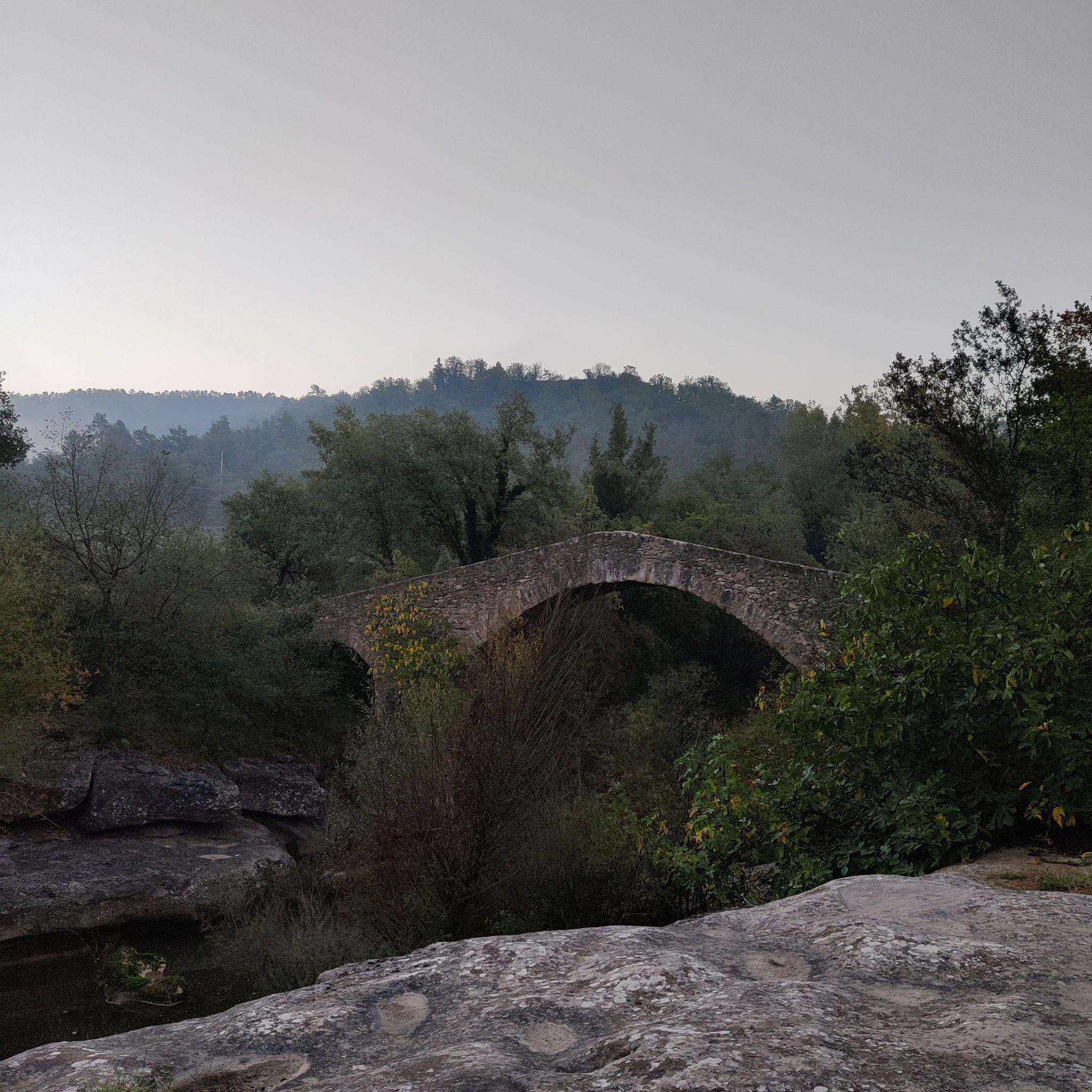
Road cycling routes in Totorillas traverse a landscape characterized by the Andean mountains, featuring significant elevation changes and high-altitude terrain. The region offers routes that wind through agricultural areas and past notable natural features like volcanic crater lakes. Cyclists can expect varied topography, providing both challenging ascents and scenic descents.
Best road cycling routes in Totorillas
- The most popular road cycling route is Plantas loop from Refugio Andino Kanari Wasi, a 26.7 miles (42.9 km) trail that takes 2…
Last updated: July 11, 2026
77
riders
50.5km
02:42
390m
390m
Moderate road ride. Good fitness required. Mostly well-paved surfaces and easy to ride.
5.0
(2)
93
riders
52.4km
02:52
590m
590m
Moderate road ride. Good fitness required. Mostly well-paved surfaces and easy to ride.

Sign up for free
9
riders
63.6km
03:52
1,260m
1,260m
Hard road ride. Very good fitness required. Some segments of this route may be unpaved and difficult to ride.
67
riders
36.9km
02:12
540m
540m
Moderate road ride. Good fitness required. Some segments of this route may be unpaved and difficult to ride.
Our route recommendations are based on thousands of hikes, rides, and runs completed by other people on komoot.
Start today with a free account
Your next adventure awaits.
Login or Signup
Popular around Totorillas
Frequently Asked Questions
What kind of terrain can I expect on road cycling routes in Totorillas?
Road cycling in Totorillas primarily traverses the Andean mountains, featuring significant elevation changes and high-altitude terrain. You'll find routes winding through agricultural areas and past notable natural features like volcanic crater lakes, offering both challenging ascents and scenic descents.
How many road cycling routes are available in Totorillas?
There are 7 road cycling routes detailed in Totorillas, catering to various skill levels from moderate to difficult.
Are there routes suitable for beginners or those looking for a moderate challenge?
Yes, Totorillas offers several moderate routes. For example, the Plantas loop from Refugio Andino Kanari Wasi is a 42.9 km route with a moderate difficulty, typically completed in about 2 hours 27 minutes. Another excellent moderate option is the Plantas loop from Cumbe, which spans 50.5 km.
What are some challenging road cycling routes for experienced riders?
For experienced riders seeking a significant challenge, Totorillas has several difficult routes. The Laguna de TOTORAS loop from Cumbe is a 63.6 km trail with over 1200 meters of elevation gain. Another demanding option is the Swing With a View of Gualaceo loop from Punta Corral, which covers 108 km with over 1300 meters of climbing.
What do other road cyclists say about the routes in Totorillas?
The road cycling routes in Totorillas are highly regarded by the komoot community, holding an average rating of 4.8 stars from over 4 reviews. Cyclists often praise the varied terrain, the challenging climbs, and the stunning views of the Andean landscape and volcanic lakes.
Are there any circular road cycling routes in Totorillas?
Yes, many of the routes in Totorillas are designed as loops, offering circular journeys. Examples include the Plantas loop from Refugio Andino Kanari Wasi, the Plantas loop from Cumbe, and the Laguna de TOTORAS loop from Cumbe, allowing you to start and finish at the same point.
What kind of natural attractions or landmarks can I see while road cycling in the Totorillas region?
While road cycling in the Totorillas region, you can expect to encounter spectacular Andean mountain scenery, including views of snow-capped volcanoes like Cotopaxi and Imbabura. The routes often pass by picturesque volcanic crater lakes, such as Laguna de TOTORAS, and traverse rolling agricultural hills, offering diverse and breathtaking vistas.
Is the Totorillas region suitable for family-friendly road cycling?
The Totorillas region is characterized by significant elevation changes and high-altitude terrain, making many routes quite challenging. While there are moderate options, families with younger children or those new to road cycling might find the climbs demanding. It's advisable to check the elevation profiles and distances of specific routes, like the moderate 'Plantas loop' options, to determine suitability for your family's experience level.
What is the best time of year to go road cycling in Totorillas?
The Ecuadorian Andes, where Totorillas is located, generally experience two main seasons: a dry season (typically June to September) and a wet season (October to May). The dry season often offers more stable weather conditions, clearer skies, and less rainfall, making it generally the best time for road cycling. However, due to the high altitude, weather can change rapidly, so always be prepared for varying conditions.
Are there any routes that offer particularly scenic viewpoints?
Many routes in Totorillas offer stunning viewpoints due to the mountainous terrain. The Swing With a View of Gualaceo loop from Punta Corral explicitly highlights a scenic vista. Generally, any route traversing the high Andean passes or circling volcanic lakes will provide breathtaking panoramic views of the surrounding landscapes.
What are the typical distances and durations for road cycling routes in Totorillas?
The routes in Totorillas vary significantly in length and duration. Moderate routes like the Plantas loops are around 43-50 km and take 2.5 to 3 hours. More difficult routes, such as the Mirador de Turi loop from Victoria del Portete, can be over 86 km and take 4.5 hours or more to complete, depending on your pace and the elevation gain.
Most popular routes in Totorillas

Get inspired with the komoot mobile app


Explore more
Browse the best Road cycling routes in other regions.
