The best walks and hikes in Bjønnknuten Naturreservat
5.0
(4)
15
hikers
4
hikes
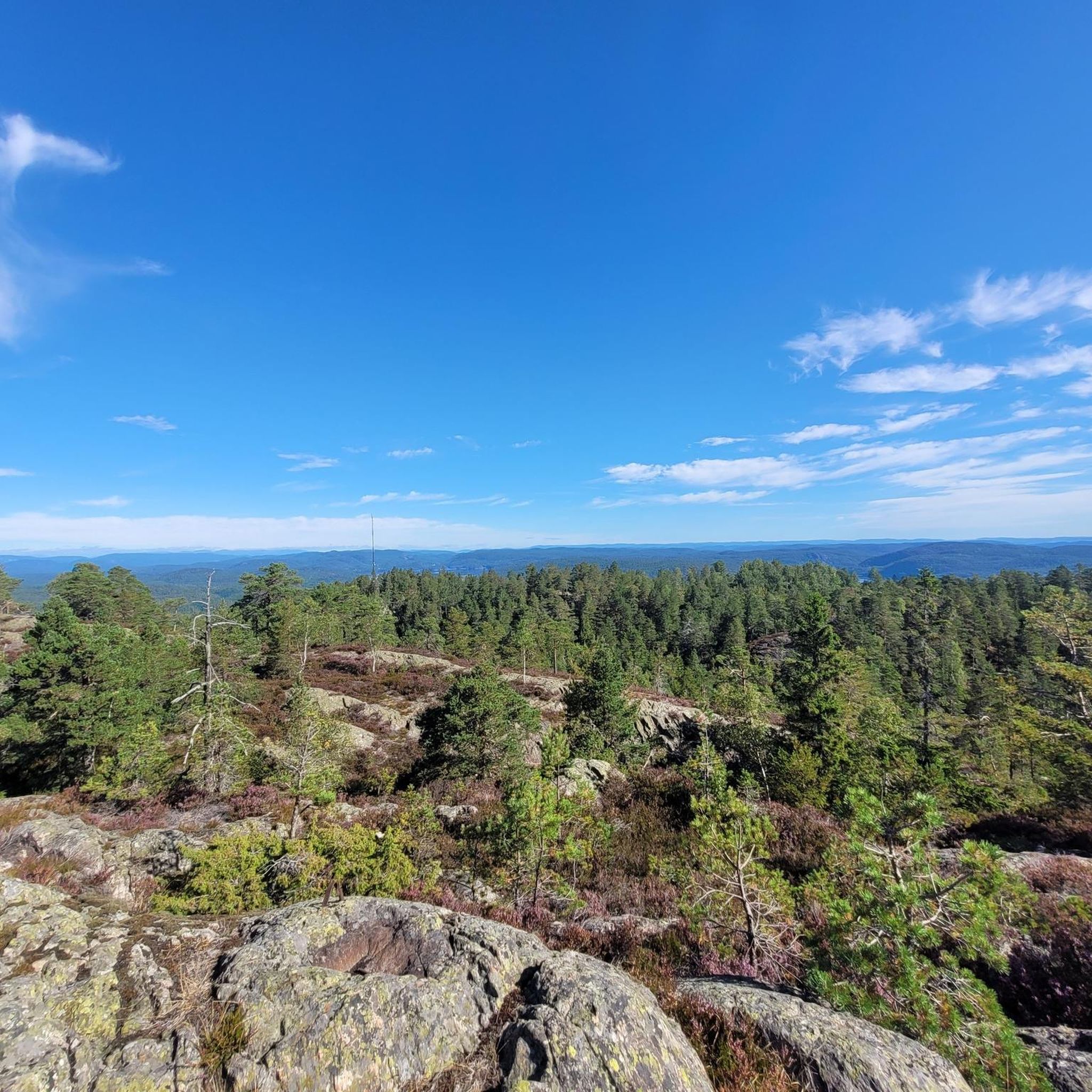
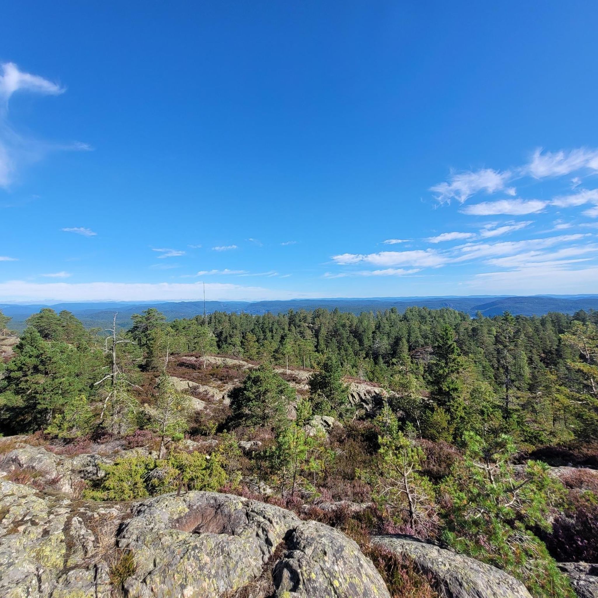
Hiking in Bjønnknuten Naturreservat offers scenic landscapes within the municipality of Kragerø, Norway. The reserve is characterized by extensive forest terrain, with routes often following old forest roads and unmarked paths. Bjønnknuten, the second-highest hill in Kragerø, provides panoramic views of distant landmarks. The area is suitable for those seeking nature experiences through varied woodlands.
Best hiking trails in Bjønnknuten Naturreservat
- The most popular hiking route is Bjørndalsheia – Tusstjennheia loop from Kumløya, a 3.3 miles (5.4 km) trail…
Last updated: July 9, 2026
5.0
(2)
5
hikers
5.38km
01:35
140m
150m
Easy hike. Great for any fitness level. Easily-accessible paths. Suitable for all skill levels.
2
hikers
4.47km
01:17
110m
110m
Easy hike. Great for any fitness level. Easily-accessible paths. Suitable for all skill levels.

Sign up for free
5.0
(2)
4
hikers
4.33km
01:19
150m
150m
Easy hike. Great for any fitness level. Easily-accessible paths. Suitable for all skill levels.
Our route recommendations are based on thousands of hikes, rides, and runs completed by other people on komoot.
Start today with a free account
Your next adventure awaits.
Login or Signup
Popular around Bjønnknuten Naturreservat
Frequently Asked Questions
Are the hiking trails in Bjønnknuten Naturreservat suitable for beginners?
Yes, Bjønnknuten Naturreservat is an excellent area for beginners. Most of the routes are classified as easy, offering gentle paths through varied woodlands. For example, the Brurestein – Kvennvannstangen loop from Sannidal kirke is an easy 4.5 km path perfect for those new to hiking.
What kind of terrain can I expect when hiking in Bjønnknuten Naturreservat?
You can expect extensive forest terrain, with routes often following old forest roads and unmarked paths. The area is characterized by varied woodlands, offering a natural and immersive experience.
How many hiking routes are available in Bjønnknuten Naturreservat?
There are currently 4 hiking routes available in Bjønnknuten Naturreservat, primarily featuring easy options suitable for various ability levels.
Are there any circular hiking routes in Bjønnknuten Naturreservat?
Yes, many of the routes in Bjønnknuten Naturreservat are circular, allowing you to start and end at the same point. Examples include the Bjørndalsheia – Tusstjennheia loop from Kumløya and the Tusstjennheia – Bjørndalsheia loop from Kumløya.
Are there viewpoints or scenic spots along the trails in Bjønnknuten Naturreservat?
Yes, Bjønnknuten itself, the second-highest hill in Kragerø, provides panoramic views of distant landmarks. The trails often lead through varied woodlands, offering scenic beauty throughout your hike.
Is Bjønnknuten Naturreservat suitable for family hikes?
Given that most routes are easy and relatively short, Bjønnknuten Naturreservat is well-suited for family hikes. The varied forest terrain provides an engaging environment for children and adults alike.
Can I bring my dog on the trails in Bjønnknuten Naturreservat?
Generally, dogs are welcome on hiking trails in Norway, especially in natural reserves like Bjønnknuten, provided they are kept on a leash, particularly during nesting seasons (April 1 to August 20) and near livestock. Always ensure to clean up after your pet.
What is the best time of year to hike in Bjønnknuten Naturreservat?
The best time to hike is typically from spring through autumn (May to October) when the weather is milder and the trails are clear of snow and ice. The varied woodlands offer beautiful scenery during these seasons.
Are there options for winter hiking in Bjønnknuten Naturreservat?
While the area can be hiked in winter, conditions may vary. Trails can become icy or covered in snow, requiring appropriate gear like microspikes or snowshoes. Always check local weather and trail conditions before heading out in winter.
What should I bring for a hike in Bjønnknuten Naturreservat?
For hiking in Bjønnknuten Naturreservat, it's advisable to bring sturdy hiking shoes, water, snacks, and appropriate clothing layers for changing weather. A map or a GPS device like komoot is also recommended, as some paths can be unmarked.
Is there parking available at the trailheads for Bjønnknuten Naturreservat?
While specific parking details for every trailhead are not provided, routes often start from accessible points like Kumløya or Sannidal kirke, where local parking options are typically available. It's recommended to check the starting point of your chosen route for specific parking information.
Can I reach Bjønnknuten Naturreservat using public transport?
Access to Bjønnknuten Naturreservat by public transport might be limited, as it's a natural reserve. While some routes start near villages like Sannidal, direct public transport to all trailheads may not be available. Planning your journey in advance and considering local bus services or a combination with personal transport is advisable.
What do other hikers enjoy most about Bjønnknuten Naturreservat?
The area is highly rated by the komoot community, with an average score of 5.0 stars. Reviewers often praise the extensive forest terrain, the sense of wilderness, and the panoramic views from Bjønnknuten, making it a rewarding experience for nature lovers.
Most popular routes in Bjønnknuten Naturreservat

Get inspired with the komoot mobile app


Explore more
Browse the best Hikes in other regions.
